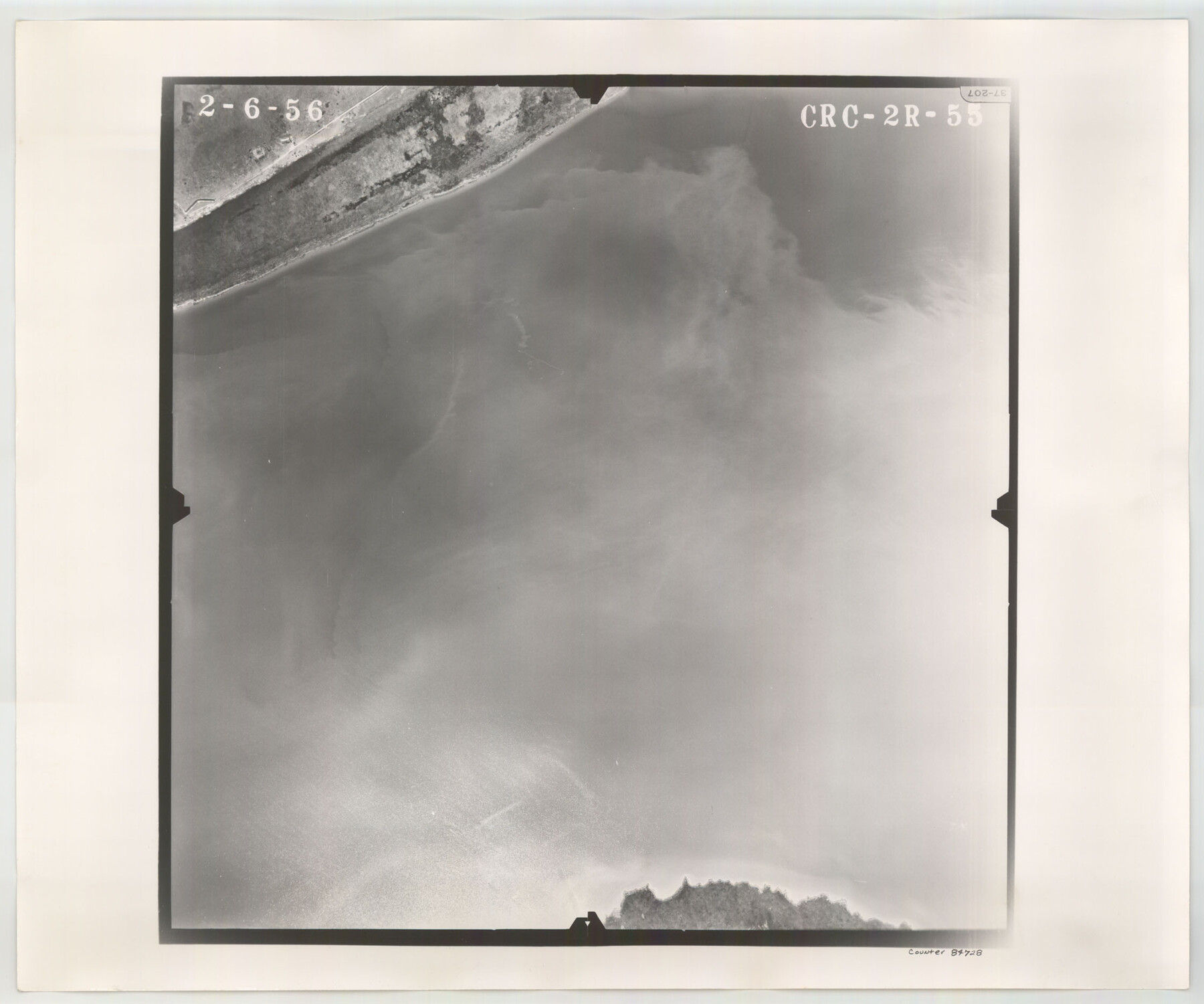
Flight Mission No. CRC-2R, Frame 55, Chambers County
CRC-2R-55
-
Map/Doc
84728
-
Collection
General Map Collection
-
Object Dates
1956/2/6 (Creation Date)
-
People and Organizations
U. S. Department of Agriculture (Publisher)
-
Counties
Chambers
-
Subjects
Aerial Photograph
-
Height x Width
18.7 x 22.4 inches
47.5 x 56.9 cm
-
Comments
Flown by Jack Ammann Photogrammetric Engineers, Inc. of San Antonio, Texas.
Part of: General Map Collection
Burnet County Boundary File 7a

Print $30.00
- Digital $50.00
Burnet County Boundary File 7a
Size 14.1 x 8.5 inches
Map/Doc 50902
Flight Mission No. CRC-3R, Frame 22, Chambers County

Print $20.00
- Digital $50.00
Flight Mission No. CRC-3R, Frame 22, Chambers County
1956
Size 18.6 x 22.3 inches
Map/Doc 84796
Maverick County Sketch File 26

Print $14.00
- Digital $50.00
Maverick County Sketch File 26
1955
Size 11.3 x 8.7 inches
Map/Doc 31153
Flight Mission No. DQO-12K, Frame 36, Galveston County

Print $20.00
- Digital $50.00
Flight Mission No. DQO-12K, Frame 36, Galveston County
1952
Size 18.8 x 22.6 inches
Map/Doc 85227
Dawson County

Print $20.00
- Digital $50.00
Dawson County
1959
Size 43.1 x 35.1 inches
Map/Doc 95476
Hamilton County Working Sketch 2

Print $20.00
- Digital $50.00
Hamilton County Working Sketch 2
1923
Size 12.9 x 15.7 inches
Map/Doc 63340
Nolan County Rolled Sketch W

Print $20.00
- Digital $50.00
Nolan County Rolled Sketch W
1902
Size 16.5 x 38.0 inches
Map/Doc 6863
Brewster County Working Sketch 52

Print $20.00
- Digital $50.00
Brewster County Working Sketch 52
1951
Size 28.7 x 37.3 inches
Map/Doc 67586
Concho County Working Sketch 10

Print $20.00
- Digital $50.00
Concho County Working Sketch 10
1951
Size 21.2 x 15.6 inches
Map/Doc 68192
Washington County

Print $40.00
- Digital $50.00
Washington County
1920
Size 33.4 x 48.6 inches
Map/Doc 63112
Hood County Working Sketch 24

Print $20.00
- Digital $50.00
Hood County Working Sketch 24
1993
Size 36.2 x 37.4 inches
Map/Doc 66218
Trinity County Working Sketch 1

Print $20.00
- Digital $50.00
Trinity County Working Sketch 1
1904
Size 17.1 x 12.3 inches
Map/Doc 69449
You may also like
Archer County Sketch File 16

Print $6.00
- Digital $50.00
Archer County Sketch File 16
1889
Size 12.8 x 8.3 inches
Map/Doc 13650
Map of Fort Stockton

Print $20.00
- Digital $50.00
Map of Fort Stockton
Size 22.4 x 18.3 inches
Map/Doc 76870
Hardin County Sketch File 14

Print $4.00
- Digital $50.00
Hardin County Sketch File 14
1866
Size 13.0 x 8.0 inches
Map/Doc 25120
Sutton County Sketch File 1

Print $6.00
- Digital $50.00
Sutton County Sketch File 1
1885
Size 14.3 x 8.9 inches
Map/Doc 37348
[Township 3 North, Block 33]
![91214, [Township 3 North, Block 33], Twichell Survey Records](https://historictexasmaps.com/wmedia_w700/maps/91214-1.tif.jpg)
Print $3.00
- Digital $50.00
[Township 3 North, Block 33]
Size 11.0 x 11.3 inches
Map/Doc 91214
Wharton County Sketch File 26

Print $4.00
- Digital $50.00
Wharton County Sketch File 26
1895
Size 11.0 x 8.8 inches
Map/Doc 39990
Gaines County Working Sketch 30

Print $20.00
- Digital $50.00
Gaines County Working Sketch 30
1990
Size 18.3 x 26.4 inches
Map/Doc 69330
Pecos County Rolled Sketch 147

Print $449.00
- Digital $50.00
Pecos County Rolled Sketch 147
1957
Size 10.1 x 15.4 inches
Map/Doc 48414
Hardeman County Working Sketch 9

Print $20.00
- Digital $50.00
Hardeman County Working Sketch 9
1953
Size 44.4 x 27.2 inches
Map/Doc 63390
Cameron County Rolled Sketch 28A

Print $20.00
- Digital $50.00
Cameron County Rolled Sketch 28A
1986
Size 36.0 x 47.6 inches
Map/Doc 8576
Sutton County Rolled Sketch 57

Print $40.00
- Digital $50.00
Sutton County Rolled Sketch 57
1958
Size 40.1 x 51.1 inches
Map/Doc 10662
Wise County Working Sketch 29

Print $20.00
- Digital $50.00
Wise County Working Sketch 29
1997
Size 22.3 x 26.8 inches
Map/Doc 72643