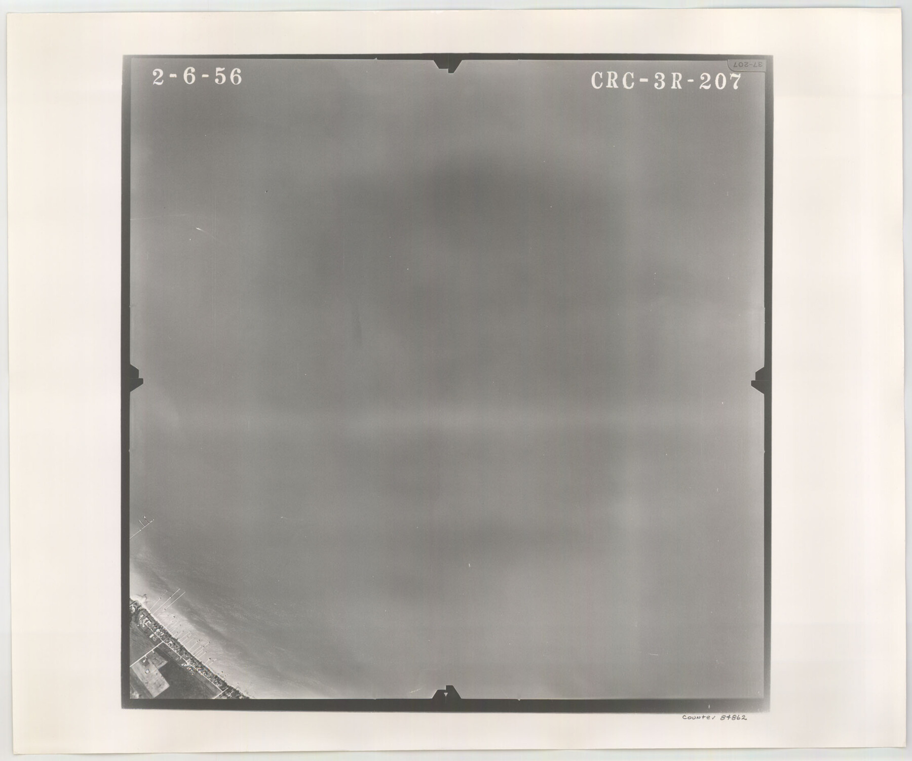
Flight Mission No. CRC-3R, Frame 207, Chambers County
CRC-3R-207
-
Map/Doc
84862
-
Collection
General Map Collection
-
Object Dates
1956/2/6 (Creation Date)
-
People and Organizations
U. S. Department of Agriculture (Publisher)
-
Counties
Chambers
-
Subjects
Aerial Photograph
-
Height x Width
18.6 x 22.3 inches
47.2 x 56.6 cm
-
Comments
Flown by Jack Ammann Photogrammetric Engineers, Inc. of San Antonio, Texas.
Part of: General Map Collection
Lee County Working Sketch 14

Print $20.00
- Digital $50.00
Lee County Working Sketch 14
1981
Size 17.9 x 11.4 inches
Map/Doc 70393
Bandera County Working Sketch 16d

Print $20.00
- Digital $50.00
Bandera County Working Sketch 16d
1941
Size 19.1 x 23.2 inches
Map/Doc 67612
Duval County Working Sketch 18

Print $20.00
- Digital $50.00
Duval County Working Sketch 18
1939
Size 23.5 x 19.6 inches
Map/Doc 68731
North Part of Brewster Co.

Print $20.00
- Digital $50.00
North Part of Brewster Co.
1956
Size 42.4 x 40.7 inches
Map/Doc 95437
El Paso County Boundary File 23

Print $9.00
- Digital $50.00
El Paso County Boundary File 23
Size 14.9 x 9.4 inches
Map/Doc 53218
Map of Bandera County

Print $40.00
- Digital $50.00
Map of Bandera County
1885
Size 33.5 x 64.7 inches
Map/Doc 4771
Report Upon the Resurvey and Location of the Boundary Line between the States of Texas and New Mexico

Print $1706.00
Report Upon the Resurvey and Location of the Boundary Line between the States of Texas and New Mexico
1911
Map/Doc 81686
Crockett County Working Sketch 65

Print $20.00
- Digital $50.00
Crockett County Working Sketch 65
1957
Size 32.3 x 38.0 inches
Map/Doc 68398
Jackson County Working Sketch 1

Print $20.00
- Digital $50.00
Jackson County Working Sketch 1
1911
Size 20.6 x 13.0 inches
Map/Doc 66449
Crockett County Rolled Sketch 42

Print $20.00
- Digital $50.00
Crockett County Rolled Sketch 42
Size 24.4 x 24.7 inches
Map/Doc 5592
Edwards County Working Sketch 112

Print $20.00
- Digital $50.00
Edwards County Working Sketch 112
1972
Size 20.0 x 26.4 inches
Map/Doc 68988
International and Great Northern Railroad Lone Star Route and Connections

Print $20.00
- Digital $50.00
International and Great Northern Railroad Lone Star Route and Connections
1877
Size 17.3 x 23.2 inches
Map/Doc 93462
You may also like
Concho County Rolled Sketch 9

Print $20.00
- Digital $50.00
Concho County Rolled Sketch 9
1956
Size 18.9 x 14.0 inches
Map/Doc 5547
Flight Mission No. DIX-7P, Frame 13, Aransas County

Print $20.00
- Digital $50.00
Flight Mission No. DIX-7P, Frame 13, Aransas County
1956
Size 4.0 x 5.0 inches
Map/Doc 83865
Brewster County Working Sketch 40

Print $20.00
- Digital $50.00
Brewster County Working Sketch 40
1944
Size 16.1 x 26.1 inches
Map/Doc 67574
General Highway Map, Starr County, Texas

Print $20.00
General Highway Map, Starr County, Texas
1940
Size 24.8 x 18.5 inches
Map/Doc 79246

Flight Mission No. BQR-13K, Frame 119, Brazoria County

Print $20.00
- Digital $50.00
Flight Mission No. BQR-13K, Frame 119, Brazoria County
1952
Size 19.0 x 22.6 inches
Map/Doc 84080
Starr County Sketch File 22

Print $20.00
- Digital $50.00
Starr County Sketch File 22
1922
Size 16.4 x 35.9 inches
Map/Doc 12331
Dickens County Boundary File 3

Print $28.00
- Digital $50.00
Dickens County Boundary File 3
Size 14.1 x 8.8 inches
Map/Doc 52541
Johnson's Texas

Print $20.00
- Digital $50.00
Johnson's Texas
1866
Size 18.4 x 27.2 inches
Map/Doc 89279
Map of Hidalgo County

Print $20.00
- Digital $50.00
Map of Hidalgo County
1880
Size 45.3 x 25.1 inches
Map/Doc 3667
Jeff Davis County Rolled Sketch 22

Print $399.00
- Digital $50.00
Jeff Davis County Rolled Sketch 22
Size 17.2 x 15.8 inches
Map/Doc 6487
Hill County Sketch file 28

Print $33.00
- Digital $50.00
Hill County Sketch file 28
1987
Size 11.3 x 8.9 inches
Map/Doc 26530