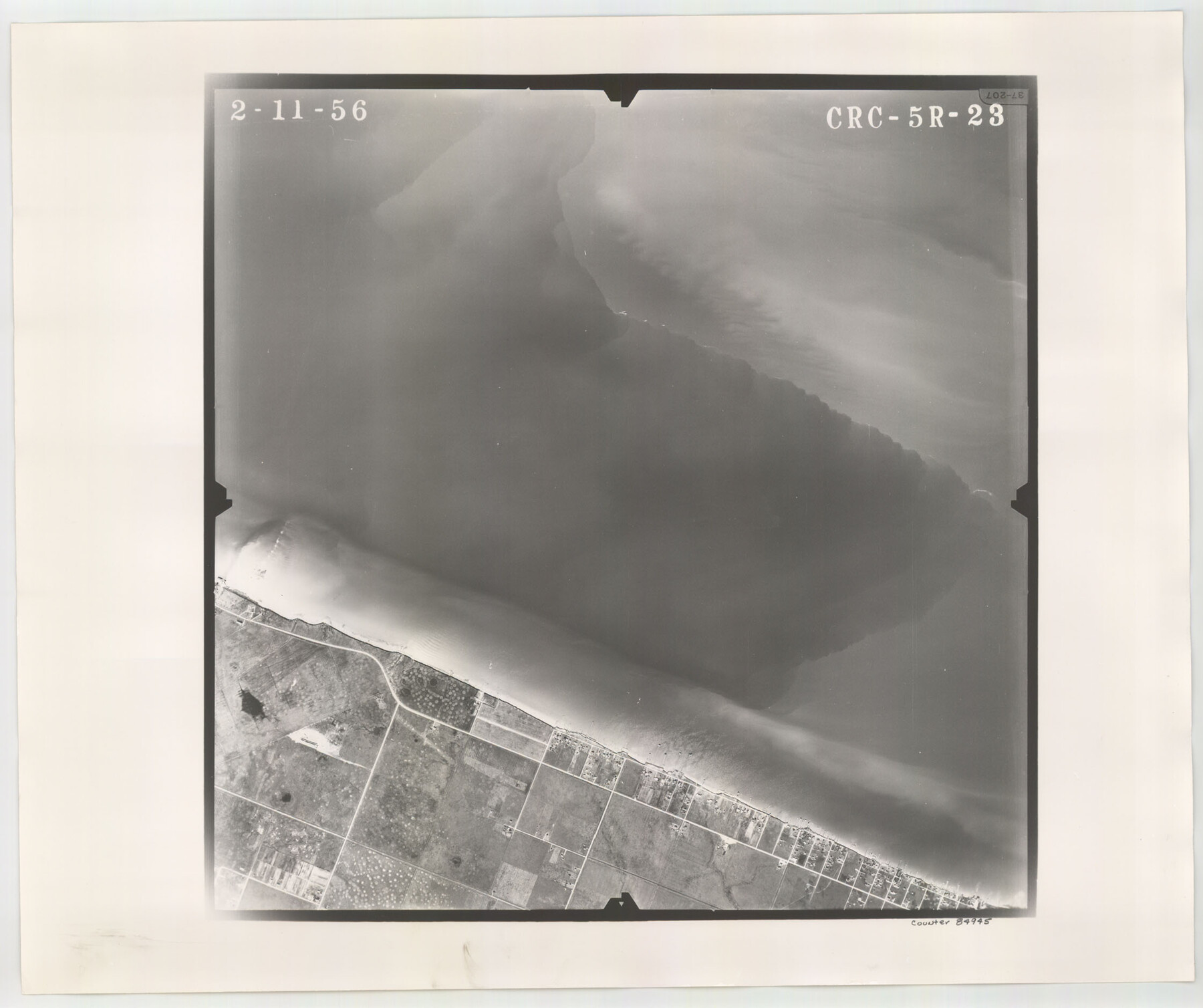
Flight Mission No. CRC-5R, Frame 23, Chambers County
CRC-5R-23
-
Map/Doc
84945
-
Collection
General Map Collection
-
Object Dates
1956/2/11 (Creation Date)
-
People and Organizations
U. S. Department of Agriculture (Publisher)
-
Counties
Chambers
-
Subjects
Aerial Photograph
-
Height x Width
18.8 x 22.4 inches
47.8 x 56.9 cm
-
Comments
Flown by Jack Ammann Photogrammetric Engineers, Inc. of San Antonio, Texas.
Part of: General Map Collection
Flight Mission No. CGI-3N, Frame 129, Cameron County

Print $20.00
- Digital $50.00
Flight Mission No. CGI-3N, Frame 129, Cameron County
1954
Size 18.5 x 22.2 inches
Map/Doc 84602
Flight Mission No. CLL-1N, Frame 182, Willacy County

Print $20.00
- Digital $50.00
Flight Mission No. CLL-1N, Frame 182, Willacy County
1954
Size 18.4 x 22.0 inches
Map/Doc 87052
Ward County Working Sketch 54

Print $40.00
- Digital $50.00
Ward County Working Sketch 54
1978
Size 24.1 x 48.8 inches
Map/Doc 72360
Hudspeth County Working Sketch 60

Print $20.00
- Digital $50.00
Hudspeth County Working Sketch 60
1992
Size 36.1 x 33.6 inches
Map/Doc 66345
Gonzales County Rolled Sketch 1

Print $20.00
- Digital $50.00
Gonzales County Rolled Sketch 1
1917
Size 21.9 x 23.9 inches
Map/Doc 6027
E. N. Gustafson's survey of Northern Portion of Lake Austin, Matagorda Co., TX

Print $40.00
- Digital $50.00
E. N. Gustafson's survey of Northern Portion of Lake Austin, Matagorda Co., TX
1926
Size 43.0 x 52.5 inches
Map/Doc 2068
Edwards County Working Sketch 76

Print $20.00
- Digital $50.00
Edwards County Working Sketch 76
1959
Size 22.8 x 24.8 inches
Map/Doc 68952
Maps of Gulf Intracoastal Waterway, Texas - Sabine River to the Rio Grande and connecting waterways including ship channels

Print $20.00
- Digital $50.00
Maps of Gulf Intracoastal Waterway, Texas - Sabine River to the Rio Grande and connecting waterways including ship channels
1966
Size 14.5 x 22.2 inches
Map/Doc 61941
San Patricio County Rolled Sketch 27

Print $40.00
- Digital $50.00
San Patricio County Rolled Sketch 27
Size 49.5 x 37.8 inches
Map/Doc 9890
Roberts County Rolled Sketch 3

Print $40.00
- Digital $50.00
Roberts County Rolled Sketch 3
Size 38.4 x 50.0 inches
Map/Doc 8358
Grimes County Working Sketch 15

Print $20.00
- Digital $50.00
Grimes County Working Sketch 15
1988
Size 42.4 x 42.4 inches
Map/Doc 63306
Map of Scurry County

Print $20.00
- Digital $50.00
Map of Scurry County
1899
Size 39.7 x 33.6 inches
Map/Doc 16812
You may also like

Map of Collin County

Print $20.00
- Digital $50.00
Map of Collin County
1850
Size 18.1 x 22.5 inches
Map/Doc 4519
Angelina County Sketch File 15c

Print $16.00
- Digital $50.00
Angelina County Sketch File 15c
1838
Size 12.2 x 8.0 inches
Map/Doc 12972
Map of Washington County, Texas

Print $20.00
- Digital $50.00
Map of Washington County, Texas
1879
Size 14.4 x 21.6 inches
Map/Doc 765
Cass County Working Sketch 23

Print $40.00
- Digital $50.00
Cass County Working Sketch 23
1966
Size 56.8 x 37.1 inches
Map/Doc 67926
Map of Dallas County

Print $20.00
- Digital $50.00
Map of Dallas County
1861
Size 23.5 x 20.0 inches
Map/Doc 3467
Flight Mission No. CRC-3R, Frame 164, Chambers County

Print $20.00
- Digital $50.00
Flight Mission No. CRC-3R, Frame 164, Chambers County
1956
Size 18.7 x 22.3 inches
Map/Doc 84846
Flight Mission No. DCL-7C, Frame 76, Kenedy County

Print $20.00
- Digital $50.00
Flight Mission No. DCL-7C, Frame 76, Kenedy County
1943
Size 15.4 x 15.1 inches
Map/Doc 86062
Flight Mission No. DAG-23K, Frame 58, Matagorda County

Print $20.00
- Digital $50.00
Flight Mission No. DAG-23K, Frame 58, Matagorda County
1953
Size 18.4 x 22.3 inches
Map/Doc 86485
Nolan County Working Sketch 8

Print $40.00
- Digital $50.00
Nolan County Working Sketch 8
1956
Size 70.8 x 33.0 inches
Map/Doc 71299
El Paso Street and Vicinity Map (Verso)

El Paso Street and Vicinity Map (Verso)
1962
Size 18.3 x 30.8 inches
Map/Doc 94176
Brownfield Plant Arizona Chemical Co.

Print $20.00
- Digital $50.00
Brownfield Plant Arizona Chemical Co.
Size 27.0 x 44.4 inches
Map/Doc 92417