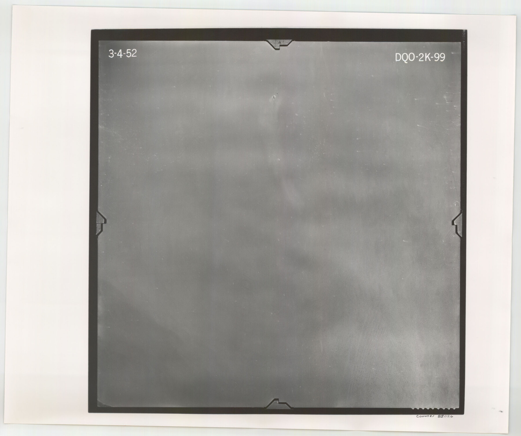
Flight Mission No. DQO-2K, Frame 99, Galveston County
DQO-2K-99
-
Map/Doc
85026
-
Collection
General Map Collection
-
Object Dates
1952/3/4 (Creation Date)
-
People and Organizations
U. S. Department of Agriculture (Publisher)
-
Counties
Galveston
-
Subjects
Aerial Photograph
-
Height x Width
18.8 x 22.5 inches
47.8 x 57.2 cm
-
Comments
Flown by Aero Exploration Company of Tulsa, Oklahoma.
Part of: General Map Collection
Somervell County

Print $20.00
- Digital $50.00
Somervell County
1884
Size 25.1 x 24.2 inches
Map/Doc 4042
Menard County Sketch File 1

Print $4.00
- Digital $50.00
Menard County Sketch File 1
1859
Size 9.8 x 8.5 inches
Map/Doc 31484
Flight Mission No. CUG-1P, Frame 162, Kleberg County

Print $20.00
- Digital $50.00
Flight Mission No. CUG-1P, Frame 162, Kleberg County
1956
Size 18.7 x 22.2 inches
Map/Doc 86169
Harris County

Print $20.00
- Digital $50.00
Harris County
1940
Size 36.8 x 45.2 inches
Map/Doc 77304
[Surveys in the Bexar District along the Frio River]
![315, [Surveys in the Bexar District along the Frio River], General Map Collection](https://historictexasmaps.com/wmedia_w700/maps/315.tif.jpg)
Print $2.00
- Digital $50.00
[Surveys in the Bexar District along the Frio River]
1847
Size 15.8 x 9.2 inches
Map/Doc 315
Flight Mission No. CGI-3N, Frame 174, Cameron County

Print $20.00
- Digital $50.00
Flight Mission No. CGI-3N, Frame 174, Cameron County
1954
Size 18.5 x 22.1 inches
Map/Doc 84638
Live Oak County Working Sketch 30

Print $20.00
- Digital $50.00
Live Oak County Working Sketch 30
1988
Size 19.0 x 25.9 inches
Map/Doc 70615
McCulloch County Boundary File 2

Print $6.00
- Digital $50.00
McCulloch County Boundary File 2
Size 12.9 x 8.3 inches
Map/Doc 56908
Located Line of the Panhandle & Gulf Ry. through State Lands, Public School and University, in Reagan County, Texas, Right of Way 200 feet wide

Print $40.00
- Digital $50.00
Located Line of the Panhandle & Gulf Ry. through State Lands, Public School and University, in Reagan County, Texas, Right of Way 200 feet wide
1904
Size 13.4 x 90.8 inches
Map/Doc 64063
PSL Field Notes for Blocks A42 through A55 in Andrews County

PSL Field Notes for Blocks A42 through A55 in Andrews County
Map/Doc 81644

[Sketch for Mineral Application 21493 - Clay County]
![65626, [Sketch for Mineral Application 21493 - Clay County], General Map Collection](https://historictexasmaps.com/wmedia_w700/maps/65626-1.tif.jpg)
Print $40.00
- Digital $50.00
[Sketch for Mineral Application 21493 - Clay County]
Size 63.1 x 35.3 inches
Map/Doc 65626
You may also like
[Jacob Masters league and those adjoining and Surveys on Elkhart Creek]
![183, [Jacob Masters league and those adjoining and Surveys on Elkhart Creek], General Map Collection](https://historictexasmaps.com/wmedia_w700/maps/183.tif.jpg)
Print $20.00
- Digital $50.00
[Jacob Masters league and those adjoining and Surveys on Elkhart Creek]
1846
Size 20.3 x 8.0 inches
Map/Doc 183
Index for Texas Railroad ROW & track maps available on microfilm at THD & Archives and Records

Print $2.00
- Digital $50.00
Index for Texas Railroad ROW & track maps available on microfilm at THD & Archives and Records
1977
Size 11.2 x 8.8 inches
Map/Doc 60757
Kenedy County Working Sketch 4

Print $40.00
- Digital $50.00
Kenedy County Working Sketch 4
1954
Size 60.3 x 37.0 inches
Map/Doc 70006

[Portion of a sketch showing S.F. 7265]
![90386, [Portion of a sketch showing S.F. 7265], Twichell Survey Records](https://historictexasmaps.com/wmedia_w700/maps/90386-1.tif.jpg)
Print $2.00
- Digital $50.00
[Portion of a sketch showing S.F. 7265]
Size 13.3 x 9.1 inches
Map/Doc 90386
Right-of-Way and Track Map, Texas State Railroad operated by the T. and N. O. R.R. Co.

Print $40.00
- Digital $50.00
Right-of-Way and Track Map, Texas State Railroad operated by the T. and N. O. R.R. Co.
1917
Size 24.3 x 55.7 inches
Map/Doc 64176
Hale County Sketch File 4

Print $20.00
- Digital $50.00
Hale County Sketch File 4
1891
Size 18.8 x 16.4 inches
Map/Doc 11594
Flight Mission No. CRE-1R, Frame 135, Jackson County

Print $20.00
- Digital $50.00
Flight Mission No. CRE-1R, Frame 135, Jackson County
1956
Size 16.2 x 15.8 inches
Map/Doc 85343
Travis County Working Sketch 20

Print $20.00
- Digital $50.00
Travis County Working Sketch 20
1945
Size 28.5 x 31.9 inches
Map/Doc 69404
Township 1 North Range 12 West, North Western District, Louisiana

Print $20.00
- Digital $50.00
Township 1 North Range 12 West, North Western District, Louisiana
1884
Size 19.7 x 24.6 inches
Map/Doc 65877
Presidio County Sketch File 6a

Print $2.00
- Digital $50.00
Presidio County Sketch File 6a
Size 7.9 x 6.6 inches
Map/Doc 34437
Angelina County Sketch File 15i

Print $8.00
- Digital $50.00
Angelina County Sketch File 15i
1939
Size 11.2 x 8.6 inches
Map/Doc 13000