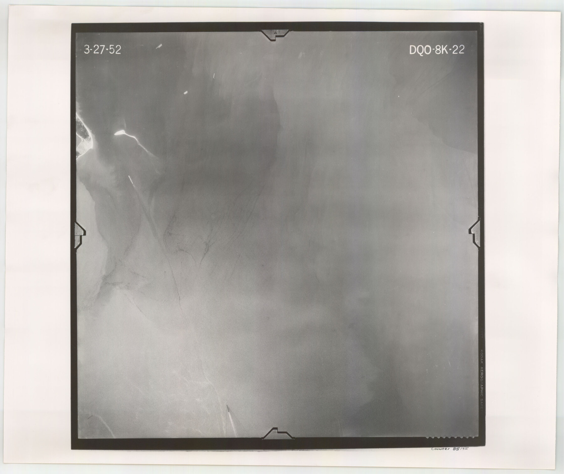
Flight Mission No. DQO-8K, Frame 22, Galveston County
DQO-8K-22
-
Map/Doc
85145
-
Collection
General Map Collection
-
Object Dates
1952/3/27 (Creation Date)
-
People and Organizations
U. S. Department of Agriculture (Publisher)
-
Counties
Galveston
-
Subjects
Aerial Photograph
-
Height x Width
18.7 x 22.3 inches
47.5 x 56.6 cm
-
Comments
Flown by Aero Exploration Company of Tulsa, Oklahoma.
Part of: General Map Collection
[Surveys in Guadalupe and Wilson Counties]
![59, [Surveys in Guadalupe and Wilson Counties], General Map Collection](https://historictexasmaps.com/wmedia_w700/maps/59.tif.jpg)
Print $2.00
- Digital $50.00
[Surveys in Guadalupe and Wilson Counties]
Size 6.0 x 12.2 inches
Map/Doc 59
Kleberg County Rolled Sketch 10-8

Print $20.00
- Digital $50.00
Kleberg County Rolled Sketch 10-8
1951
Size 36.6 x 33.7 inches
Map/Doc 9370
Tarrant County Working Sketch 8

Print $20.00
- Digital $50.00
Tarrant County Working Sketch 8
1982
Size 33.2 x 19.7 inches
Map/Doc 62425
Western Waters of the Clear Fork of the Brazos River below Phantom-Hill

Print $20.00
- Digital $50.00
Western Waters of the Clear Fork of the Brazos River below Phantom-Hill
1857
Size 16.0 x 12.5 inches
Map/Doc 4664
Plat of Re-survey Section 8, Block 66 1/2, Public School Land

Print $2.00
- Digital $50.00
Plat of Re-survey Section 8, Block 66 1/2, Public School Land
1972
Size 11.3 x 8.7 inches
Map/Doc 60299
Upton County Working Sketch 41

Print $40.00
- Digital $50.00
Upton County Working Sketch 41
1960
Size 40.4 x 54.2 inches
Map/Doc 69537
Blanco County Sketch File 46

Print $4.00
- Digital $50.00
Blanco County Sketch File 46
Size 12.5 x 8.4 inches
Map/Doc 14673
Crockett County Sketch File 57

Print $22.00
- Digital $50.00
Crockett County Sketch File 57
Size 12.2 x 8.9 inches
Map/Doc 19832
Sutton County Rolled Sketch 62

Print $40.00
- Digital $50.00
Sutton County Rolled Sketch 62
Size 69.8 x 45.2 inches
Map/Doc 9978
Hudspeth County Working Sketch 14

Print $20.00
- Digital $50.00
Hudspeth County Working Sketch 14
1953
Size 24.2 x 41.2 inches
Map/Doc 66296
Fractional Township No. 10 South Range No. 27 East of the Indian Meridian, Indian Territory

Print $20.00
- Digital $50.00
Fractional Township No. 10 South Range No. 27 East of the Indian Meridian, Indian Territory
1897
Size 19.2 x 24.3 inches
Map/Doc 75246
Blanco County Working Sketch 22

Print $20.00
- Digital $50.00
Blanco County Working Sketch 22
1962
Size 41.0 x 36.5 inches
Map/Doc 67382
You may also like
Township 9 South Range 13 West, South Western District, Louisiana

Print $20.00
- Digital $50.00
Township 9 South Range 13 West, South Western District, Louisiana
1858
Size 19.8 x 24.8 inches
Map/Doc 65852
Bee County Sketch File 25

Print $4.00
- Digital $50.00
Bee County Sketch File 25
1880
Size 11.0 x 8.2 inches
Map/Doc 14326
[Red River & Southwestern Ry. Co. from Henrietta to Archer City]
![64147, [Red River & Southwestern Ry. Co. from Henrietta to Archer City], General Map Collection](https://historictexasmaps.com/wmedia_w700/maps/64147.tif.jpg)
Print $20.00
- Digital $50.00
[Red River & Southwestern Ry. Co. from Henrietta to Archer City]
Size 14.3 x 21.1 inches
Map/Doc 64147
Part of Laguna Madre in Nueces and Kleberg Counties, showing Subdivision for Mineral Development

Print $20.00
- Digital $50.00
Part of Laguna Madre in Nueces and Kleberg Counties, showing Subdivision for Mineral Development
1948
Size 36.9 x 26.6 inches
Map/Doc 1922
Bandera County Working Sketch 5

Print $3.00
- Digital $50.00
Bandera County Working Sketch 5
1915
Size 12.0 x 9.0 inches
Map/Doc 67598
[H. & T. C. Blocks 3 and 4; G. H. & S. A Blocks 2, 4, and 12; D. & P. Block 3]
![91027, [H. & T. C. Blocks 3 and 4; G. H. & S. A Blocks 2, 4, and 12; D. & P. Block 3], Twichell Survey Records](https://historictexasmaps.com/wmedia_w700/maps/91027-1.tif.jpg)
Print $20.00
- Digital $50.00
[H. & T. C. Blocks 3 and 4; G. H. & S. A Blocks 2, 4, and 12; D. & P. Block 3]
Size 44.6 x 36.3 inches
Map/Doc 91027
Liberty County Working Sketch 31

Print $20.00
- Digital $50.00
Liberty County Working Sketch 31
1942
Size 23.1 x 42.9 inches
Map/Doc 70490
Flight Mission No. CRK-5P, Frame 130, Refugio County

Print $20.00
- Digital $50.00
Flight Mission No. CRK-5P, Frame 130, Refugio County
1956
Size 18.6 x 22.5 inches
Map/Doc 86933
The Republic County of Washington. January 15, 1842

Print $20.00
The Republic County of Washington. January 15, 1842
2020
Size 11.8 x 21.7 inches
Map/Doc 96306
Travis County Sketch File 16

Print $4.00
- Digital $50.00
Travis County Sketch File 16
Size 12.7 x 8.4 inches
Map/Doc 38312
Kenedy County Rolled Sketch 16

Print $40.00
- Digital $50.00
Kenedy County Rolled Sketch 16
1978
Size 36.7 x 50.2 inches
Map/Doc 10693
English Field Notes of the Spanish Archives - Book 3

English Field Notes of the Spanish Archives - Book 3
1835
Map/Doc 96529