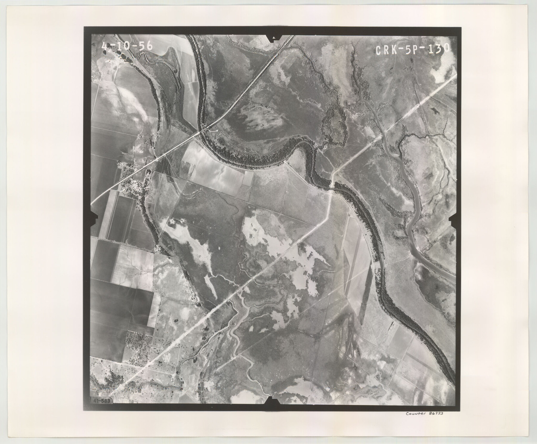
Flight Mission No. CRK-5P, Frame 130, Refugio County
CRK-5P-130
-
Map/Doc
86933
-
Collection
General Map Collection
-
Object Dates
1956/4/10 (Creation Date)
-
People and Organizations
U. S. Department of Agriculture (Publisher)
-
Counties
Refugio
-
Subjects
Aerial Photograph
-
Height x Width
18.6 x 22.5 inches
47.2 x 57.2 cm
-
Comments
Flown by V. L. Beavers and Associates of San Antonio, Texas.
Part of: General Map Collection
Dimmit County Boundary File 1

Print $8.00
- Digital $50.00
Dimmit County Boundary File 1
Size 12.9 x 7.9 inches
Map/Doc 52560
Angelina River, Mud Creek, Sheet 1

Print $4.00
- Digital $50.00
Angelina River, Mud Creek, Sheet 1
1937
Size 26.2 x 18.5 inches
Map/Doc 65075
[Surveys in the Milam District on Coryell Creek and the Bosque River]
![3171, [Surveys in the Milam District on Coryell Creek and the Bosque River], General Map Collection](https://historictexasmaps.com/wmedia_w700/maps/3171.tif.jpg)
Print $20.00
- Digital $50.00
[Surveys in the Milam District on Coryell Creek and the Bosque River]
1846
Size 14.0 x 15.8 inches
Map/Doc 3171
Upton County Working Sketch 16

Print $20.00
- Digital $50.00
Upton County Working Sketch 16
1941
Size 17.1 x 12.0 inches
Map/Doc 69512
Map of Fayette County

Print $20.00
- Digital $50.00
Map of Fayette County
1865
Size 23.2 x 28.8 inches
Map/Doc 3540
Atascosa County Sketch File 7

Print $4.00
- Digital $50.00
Atascosa County Sketch File 7
Size 8.2 x 6.5 inches
Map/Doc 13756
Panola County Working Sketch 5

Print $20.00
- Digital $50.00
Panola County Working Sketch 5
1940
Map/Doc 71414
[Beaumont, Sour Lake and Western Ry. Right of Way and Alignment - Frisco]
![64127, [Beaumont, Sour Lake and Western Ry. Right of Way and Alignment - Frisco], General Map Collection](https://historictexasmaps.com/wmedia_w700/maps/64127.tif.jpg)
Print $20.00
- Digital $50.00
[Beaumont, Sour Lake and Western Ry. Right of Way and Alignment - Frisco]
1910
Size 20.1 x 45.8 inches
Map/Doc 64127
Flight Mission No. DIX-5P, Frame 139, Aransas County

Print $20.00
- Digital $50.00
Flight Mission No. DIX-5P, Frame 139, Aransas County
1956
Size 17.6 x 17.8 inches
Map/Doc 83800
Calhoun County Sketch File 12

Print $120.00
- Digital $50.00
Calhoun County Sketch File 12
Size 23.0 x 36.9 inches
Map/Doc 11033
Lamar County State Real Property Sketch 1

Print $20.00
- Digital $50.00
Lamar County State Real Property Sketch 1
2013
Size 24.0 x 36.0 inches
Map/Doc 93661
Hardin County Sketch File 14

Print $4.00
- Digital $50.00
Hardin County Sketch File 14
1866
Size 13.0 x 8.0 inches
Map/Doc 25120
You may also like
Map of the State University & Public School Lands in Reeves and El Paso Cos.

Print $40.00
- Digital $50.00
Map of the State University & Public School Lands in Reeves and El Paso Cos.
1884
Size 39.1 x 56.3 inches
Map/Doc 2434
Map of Chambers County

Print $20.00
- Digital $50.00
Map of Chambers County
1882
Size 20.5 x 26.1 inches
Map/Doc 3384
Flight Mission No. DQO-1K, Frame 152, Galveston County

Print $20.00
- Digital $50.00
Flight Mission No. DQO-1K, Frame 152, Galveston County
1952
Size 18.9 x 22.5 inches
Map/Doc 85005
Falls County Boundary File 1

Print $64.00
- Digital $50.00
Falls County Boundary File 1
Size 9.2 x 4.4 inches
Map/Doc 53241
Kerr County State Real Property Sketch 2

Print $2.00
- Digital $50.00
Kerr County State Real Property Sketch 2
2007
Size 10.7 x 8.6 inches
Map/Doc 88675
Fisher County Working Sketch 5

Print $20.00
- Digital $50.00
Fisher County Working Sketch 5
1926
Size 23.0 x 25.6 inches
Map/Doc 69139
Map of Ramon Musquiz Survey, Meanders of Lavaca & Navidad Rivers, Menefee & Redfish Lakes

Print $20.00
- Digital $50.00
Map of Ramon Musquiz Survey, Meanders of Lavaca & Navidad Rivers, Menefee & Redfish Lakes
1934
Size 23.4 x 18.4 inches
Map/Doc 65455
From Aransas Pass Eastward, Texas

Print $40.00
- Digital $50.00
From Aransas Pass Eastward, Texas
1866
Size 32.1 x 53.4 inches
Map/Doc 73427
[Block K5, Section 13]
![91451, [Block K5, Section 13], Twichell Survey Records](https://historictexasmaps.com/wmedia_w700/maps/91451-1.tif.jpg)
Print $3.00
- Digital $50.00
[Block K5, Section 13]
Size 11.4 x 10.4 inches
Map/Doc 91451
Cottle County Boundary File 1

Print $22.00
- Digital $50.00
Cottle County Boundary File 1
Size 8.8 x 3.8 inches
Map/Doc 51944
Flight Mission No. CRC-2R, Frame 134, Chambers County

Print $20.00
- Digital $50.00
Flight Mission No. CRC-2R, Frame 134, Chambers County
1956
Size 18.6 x 22.3 inches
Map/Doc 84750
Polk County Working Sketch 43

Print $20.00
- Digital $50.00
Polk County Working Sketch 43
1997
Size 23.2 x 30.5 inches
Map/Doc 71660