[Beaumont, Sour Lake and Western Ry. Right of Way and Alignment - Frisco]
Right of Way and Alignment Thro' H. Masterson, J.D. Dunk, S.E. Singleton, Aaron Sims, Frederick Rankin
Z-2-33
-
Map/Doc
64127
-
Collection
General Map Collection
-
Object Dates
1910 (Creation Date)
-
Counties
Harris
-
Subjects
Railroads
-
Height x Width
20.1 x 45.8 inches
51.1 x 116.3 cm
-
Medium
blueprint/diazo
-
Comments
See counter nos. 64105 through 64133 for all sheets.
-
Features
BSL&W
Crosby-Huffman County Wagon Road
San Jacinto River
Part of: General Map Collection
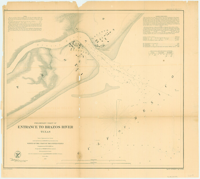
Preliminary Chart of Entrance to Brazos River, Texas

Print $20.00
- Digital $50.00
Preliminary Chart of Entrance to Brazos River, Texas
Size 17.6 x 19.8 inches
Map/Doc 81986
Nueces County NRC Article 33.136 Location Key Sheet


Print $20.00
- Digital $50.00
Nueces County NRC Article 33.136 Location Key Sheet
1975
Size 27.0 x 23.0 inches
Map/Doc 88586
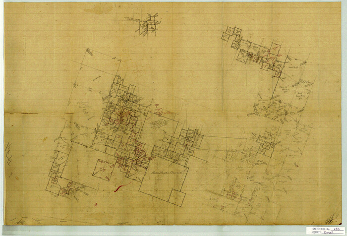
Coryell County Sketch File 17 1/2

Print $20.00
- Digital $50.00
Coryell County Sketch File 17 1/2
Size 16.0 x 23.6 inches
Map/Doc 11182
Edwards County Working Sketch 10


Print $20.00
- Digital $50.00
Edwards County Working Sketch 10
1920
Size 21.9 x 18.3 inches
Map/Doc 68886
McLennan County Sketch File 2


Print $6.00
- Digital $50.00
McLennan County Sketch File 2
1856
Size 11.5 x 7.7 inches
Map/Doc 31230
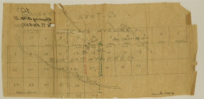
Kent County Sketch File 10a

Print $4.00
- Digital $50.00
Kent County Sketch File 10a
Size 5.9 x 12.0 inches
Map/Doc 28836
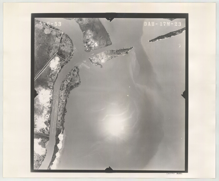
Flight Mission No. DAH-17M, Frame 23, Orange County

Print $20.00
- Digital $50.00
Flight Mission No. DAH-17M, Frame 23, Orange County
1953
Size 18.7 x 22.5 inches
Map/Doc 86886
Young County Rolled Sketch 10
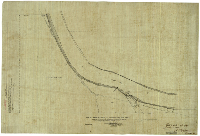

Print $20.00
- Digital $50.00
Young County Rolled Sketch 10
1921
Size 27.3 x 40.1 inches
Map/Doc 8298
Brazoria County Sketch File 15a


Print $4.00
- Digital $50.00
Brazoria County Sketch File 15a
1892
Size 14.2 x 8.7 inches
Map/Doc 14979
Topographical Map for Commerce of Dallas, Texas
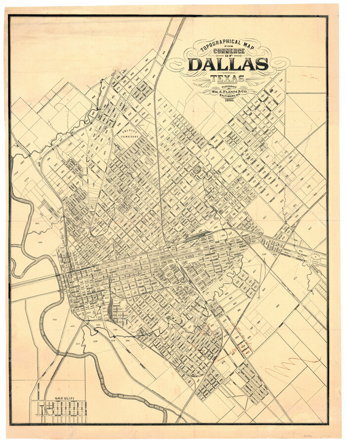

Print $20.00
- Digital $50.00
Topographical Map for Commerce of Dallas, Texas
1890
Size 26.3 x 20.6 inches
Map/Doc 96792
The Land of Open Sky - Southwest U.S.A.


The Land of Open Sky - Southwest U.S.A.
Size 20.2 x 15.6 inches
Map/Doc 95945
El Paso County


Print $40.00
- Digital $50.00
El Paso County
1881
Size 53.7 x 88.3 inches
Map/Doc 16826
You may also like
Kinney County Working Sketch 5


Print $20.00
- Digital $50.00
Kinney County Working Sketch 5
1910
Size 20.5 x 24.2 inches
Map/Doc 70187
[Texas Department of Corrections Prison Farm Locations]
![78638, [Texas Department of Corrections Prison Farm Locations], General Map Collection](https://historictexasmaps.com/wmedia_w700/maps/78638.tif.jpg)
![78638, [Texas Department of Corrections Prison Farm Locations], General Map Collection](https://historictexasmaps.com/wmedia_w700/maps/78638.tif.jpg)
Print $40.00
- Digital $50.00
[Texas Department of Corrections Prison Farm Locations]
Size 43.0 x 54.0 inches
Map/Doc 78638
McLennan County Sketch File 1
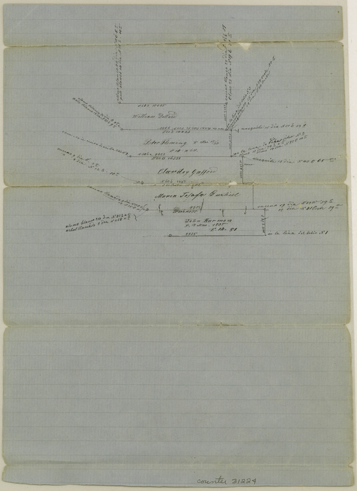

Print $4.00
- Digital $50.00
McLennan County Sketch File 1
Size 11.5 x 8.4 inches
Map/Doc 31224
[Tie line between Indianola RR. Co. Block H and H. & G. N. RR. Co. Block G and vicinity]
![93007, [Tie line between Indianola RR. Co. Block H and H. & G. N. RR. Co. Block G and vicinity], Twichell Survey Records](https://historictexasmaps.com/wmedia_w700/maps/93007-1.tif.jpg)
![93007, [Tie line between Indianola RR. Co. Block H and H. & G. N. RR. Co. Block G and vicinity], Twichell Survey Records](https://historictexasmaps.com/wmedia_w700/maps/93007-1.tif.jpg)
Print $20.00
- Digital $50.00
[Tie line between Indianola RR. Co. Block H and H. & G. N. RR. Co. Block G and vicinity]
1904
Size 21.9 x 10.1 inches
Map/Doc 93007
Burleson County Rolled Sketch 1

Print $631.00
- Digital $50.00
Burleson County Rolled Sketch 1
Size 10.2 x 16.5 inches
Map/Doc 43342
Gregg County Boundary File 8


Print $8.00
- Digital $50.00
Gregg County Boundary File 8
Size 14.0 x 8.6 inches
Map/Doc 54019
Dickens County Sketch File H2


Print $2.00
- Digital $50.00
Dickens County Sketch File H2
Size 12.9 x 8.2 inches
Map/Doc 20874
Houston County Sketch File 12


Print $4.00
- Digital $50.00
Houston County Sketch File 12
1849
Size 8.2 x 14.7 inches
Map/Doc 26773
Flight Mission No. DAG-18K, Frame 184, Matagorda County


Print $20.00
- Digital $50.00
Flight Mission No. DAG-18K, Frame 184, Matagorda County
1952
Size 18.6 x 22.4 inches
Map/Doc 86376
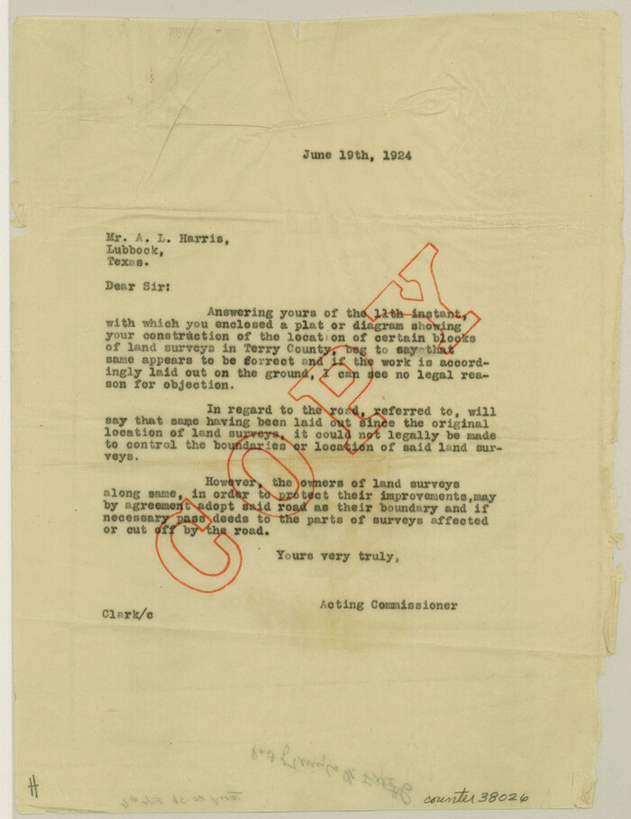
Terry County Sketch File 6

Print $8.00
- Digital $50.00
Terry County Sketch File 6
1924
Size 11.2 x 8.7 inches
Map/Doc 38026
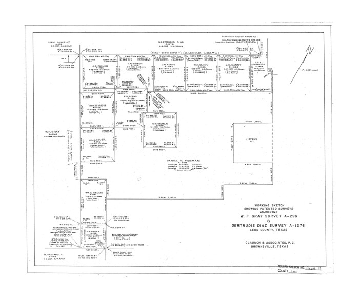
Leon County Rolled Sketch 17

Print $20.00
- Digital $50.00
Leon County Rolled Sketch 17
Size 20.5 x 24.7 inches
Map/Doc 6603
Jeff Davis County Sketch File 46


Print $8.00
- Digital $50.00
Jeff Davis County Sketch File 46
1906
Size 13.5 x 8.8 inches
Map/Doc 28080
![64127, [Beaumont, Sour Lake and Western Ry. Right of Way and Alignment - Frisco], General Map Collection](https://historictexasmaps.com/wmedia_w1800h1800/maps/64127.tif.jpg)