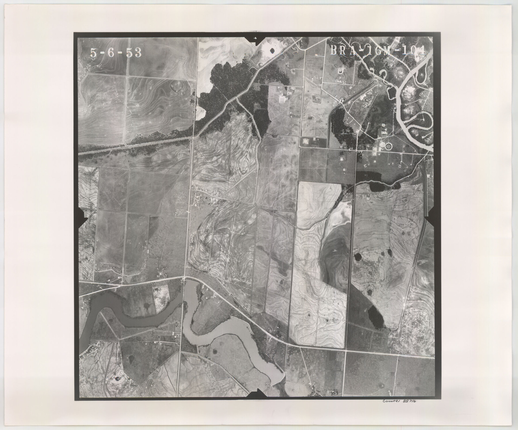
Flight Mission No. BRA-16M, Frame 104, Jefferson County
BRA-16M-104
-
Map/Doc
85716
-
Collection
General Map Collection
-
Object Dates
1953/5/6 (Creation Date)
-
People and Organizations
U. S. Department of Agriculture (Publisher)
-
Counties
Jefferson
-
Subjects
Aerial Photograph
-
Height x Width
18.5 x 22.3 inches
47.0 x 56.6 cm
-
Comments
Flown by Jack Ammann Photogrammetric Engineers of San Antonio, Texas.
Part of: General Map Collection
Orange County Sketch File 38

Print $6.00
- Digital $50.00
Orange County Sketch File 38
1954
Size 14.3 x 8.7 inches
Map/Doc 33378
Map of Maverick County

Print $20.00
- Digital $50.00
Map of Maverick County
1875
Size 36.3 x 23.7 inches
Map/Doc 3849
Chambers County Working Sketch 7

Print $20.00
- Digital $50.00
Chambers County Working Sketch 7
1939
Size 30.6 x 39.6 inches
Map/Doc 67990
Presidio County Working Sketch 85

Print $20.00
- Digital $50.00
Presidio County Working Sketch 85
1970
Size 37.0 x 30.8 inches
Map/Doc 71762
Haskell County Sketch File 20

Print $20.00
- Digital $50.00
Haskell County Sketch File 20
1902
Size 20.9 x 26.2 inches
Map/Doc 11743
Briscoe County Sketch File 14

Print $20.00
- Digital $50.00
Briscoe County Sketch File 14
1910
Size 14.2 x 8.5 inches
Map/Doc 16509
Map of Navarro County

Print $20.00
- Digital $50.00
Map of Navarro County
1872
Size 17.6 x 22.6 inches
Map/Doc 3911
Map of the Mexican Central Railway and Connections

Print $20.00
- Digital $50.00
Map of the Mexican Central Railway and Connections
1892
Size 22.0 x 26.0 inches
Map/Doc 95742
Garza County Sketch File 25

Print $4.00
- Digital $50.00
Garza County Sketch File 25
1907
Size 7.6 x 7.9 inches
Map/Doc 24086
Travis County Sketch File 71

Print $10.00
- Digital $50.00
Travis County Sketch File 71
1840
Size 12.9 x 8.3 inches
Map/Doc 38456
Morris County Sketch File 1

Print $4.00
- Digital $50.00
Morris County Sketch File 1
Size 12.4 x 6.5 inches
Map/Doc 31963
Crane County Rolled Sketch 18

Print $20.00
- Digital $50.00
Crane County Rolled Sketch 18
1950
Size 37.8 x 37.2 inches
Map/Doc 8683
You may also like
Runnels County Sketch File 19 and 22

Print $48.00
Runnels County Sketch File 19 and 22
1887
Size 14.0 x 21.2 inches
Map/Doc 12254
Harris County Sketch File 20

Print $6.00
- Digital $50.00
Harris County Sketch File 20
1862
Size 8.6 x 7.9 inches
Map/Doc 25368
Flight Mission No. CUG-3P, Frame 39, Kleberg County

Print $20.00
- Digital $50.00
Flight Mission No. CUG-3P, Frame 39, Kleberg County
1956
Size 18.4 x 22.2 inches
Map/Doc 86244
Flight Mission No. DQN-2K, Frame 141, Calhoun County

Print $20.00
- Digital $50.00
Flight Mission No. DQN-2K, Frame 141, Calhoun County
1953
Size 17.3 x 15.8 inches
Map/Doc 84310
Van Zandt County Sketch File 39

Print $6.00
- Digital $50.00
Van Zandt County Sketch File 39
1871
Size 10.8 x 13.4 inches
Map/Doc 39484
Tom Green County Sketch File 66

Print $22.00
- Digital $50.00
Tom Green County Sketch File 66
1929
Size 16.8 x 14.6 inches
Map/Doc 38236
Flight Mission No. CUG-1P, Frame 104, Kleberg County

Print $20.00
- Digital $50.00
Flight Mission No. CUG-1P, Frame 104, Kleberg County
1956
Size 18.5 x 21.1 inches
Map/Doc 86154
Montague County Working Sketch 7

Print $20.00
- Digital $50.00
Montague County Working Sketch 7
1927
Size 41.1 x 28.4 inches
Map/Doc 75970
Harris County Historic Topographic 5

Print $20.00
- Digital $50.00
Harris County Historic Topographic 5
1916
Size 29.2 x 22.8 inches
Map/Doc 65815
Madison County Working Sketch 6

Print $2.00
- Digital $50.00
Madison County Working Sketch 6
1982
Size 10.5 x 7.7 inches
Map/Doc 70768
Map of the United States of America for Goddard's "Where to Emigrate and Why"

Print $20.00
- Digital $50.00
Map of the United States of America for Goddard's "Where to Emigrate and Why"
1869
Size 12.4 x 18.8 inches
Map/Doc 96619
Winkler County Working Sketch 10

Print $40.00
- Digital $50.00
Winkler County Working Sketch 10
1960
Size 30.3 x 61.0 inches
Map/Doc 72604