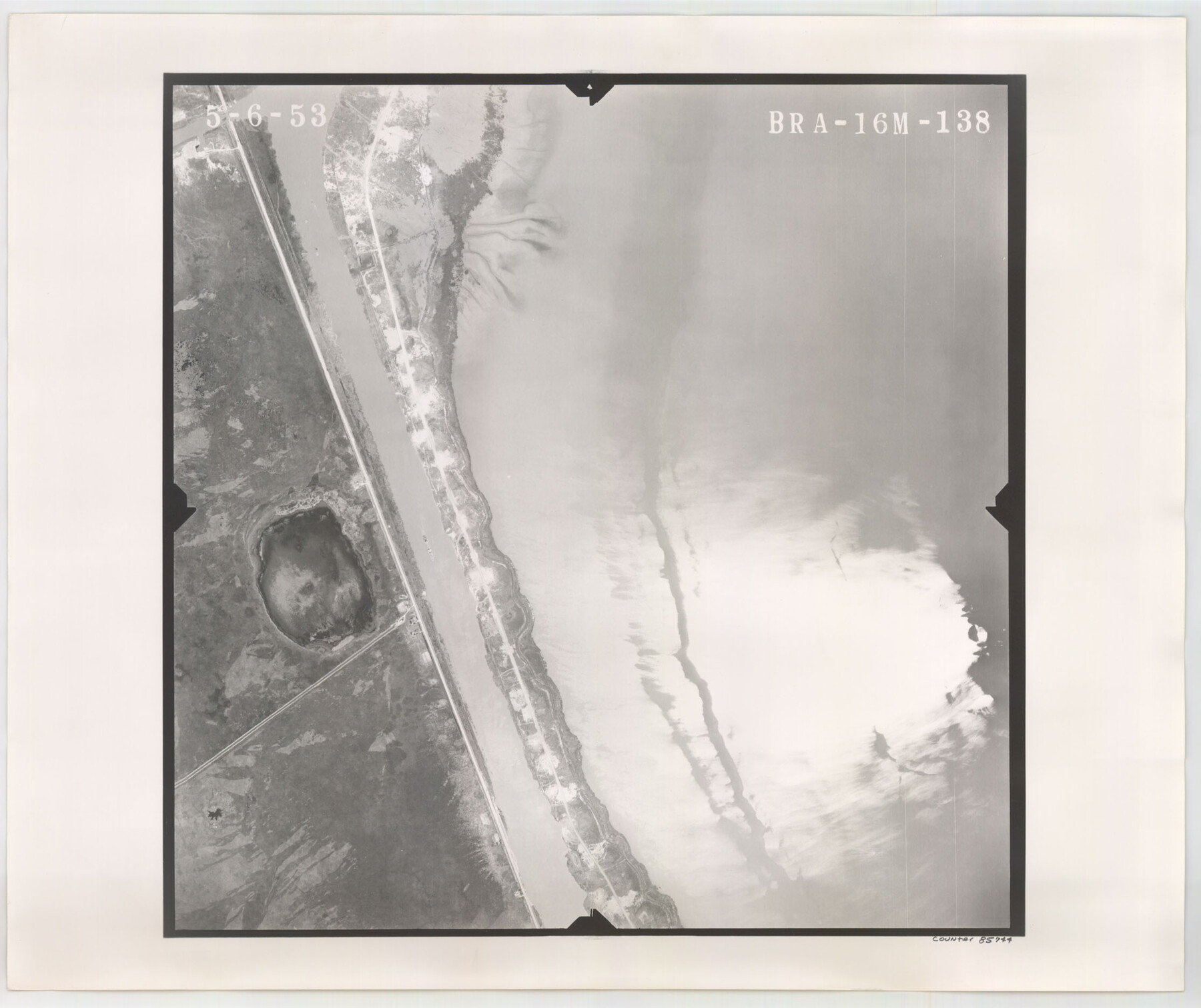
Flight Mission No. BRA-16M, Frame 138, Jefferson County
BRA-16M-138
-
Map/Doc
85744
-
Collection
General Map Collection
-
Object Dates
1953/5/6 (Creation Date)
-
People and Organizations
U. S. Department of Agriculture (Publisher)
-
Counties
Jefferson
-
Subjects
Aerial Photograph
-
Height x Width
18.7 x 22.3 inches
47.5 x 56.6 cm
-
Comments
Flown by Jack Ammann Photogrammetric Engineers of San Antonio, Texas.
Part of: General Map Collection
Leon County Working Sketch 4

Print $20.00
- Digital $50.00
Leon County Working Sketch 4
Size 18.1 x 14.0 inches
Map/Doc 70403
Val Verde County Sketch File 40

Print $20.00
- Digital $50.00
Val Verde County Sketch File 40
1939
Size 15.3 x 25.5 inches
Map/Doc 12582
Flight Mission No. CRE-2R, Frame 85, Jackson County

Print $20.00
- Digital $50.00
Flight Mission No. CRE-2R, Frame 85, Jackson County
1956
Size 18.4 x 22.3 inches
Map/Doc 85357
Flight Mission No. BRE-1P, Frame 72, Nueces County

Print $20.00
- Digital $50.00
Flight Mission No. BRE-1P, Frame 72, Nueces County
1956
Size 18.4 x 22.3 inches
Map/Doc 86654
Liberty County Rolled Sketch OB

Print $40.00
- Digital $50.00
Liberty County Rolled Sketch OB
1934
Size 71.0 x 24.8 inches
Map/Doc 9563
Pecos County Rolled Sketch 26A

Print $40.00
- Digital $50.00
Pecos County Rolled Sketch 26A
1890
Size 19.0 x 55.5 inches
Map/Doc 75934
Wilbarger County Aerial Photograph Index Sheet 4

Print $20.00
- Digital $50.00
Wilbarger County Aerial Photograph Index Sheet 4
1950
Size 21.7 x 18.8 inches
Map/Doc 83753
Nacogdoches County Rolled Sketch 3

Print $20.00
- Digital $50.00
Nacogdoches County Rolled Sketch 3
1985
Size 39.6 x 27.6 inches
Map/Doc 6837
Cass County Rolled Sketch 5A

Print $20.00
- Digital $50.00
Cass County Rolled Sketch 5A
Size 15.4 x 18.0 inches
Map/Doc 5411
Flight Mission No. CUG-3P, Frame 166, Kleberg County

Print $20.00
- Digital $50.00
Flight Mission No. CUG-3P, Frame 166, Kleberg County
1956
Size 18.6 x 22.3 inches
Map/Doc 86286
Panola County Working Sketch 23

Print $20.00
- Digital $50.00
Panola County Working Sketch 23
1951
Map/Doc 71432
Dimmit County Working Sketch 41

Print $20.00
- Digital $50.00
Dimmit County Working Sketch 41
1971
Size 26.1 x 27.0 inches
Map/Doc 68702
You may also like
Flight Mission No. CUG-1P, Frame 82, Kleberg County

Print $20.00
- Digital $50.00
Flight Mission No. CUG-1P, Frame 82, Kleberg County
1956
Size 18.6 x 22.3 inches
Map/Doc 86147
Morris County Rolled Sketch 2A

Print $20.00
- Digital $50.00
Morris County Rolled Sketch 2A
Size 24.3 x 19.2 inches
Map/Doc 10251
Maps of Gulf Intracoastal Waterway, Texas - Sabine River to the Rio Grande and connecting waterways including ship channels

Print $20.00
- Digital $50.00
Maps of Gulf Intracoastal Waterway, Texas - Sabine River to the Rio Grande and connecting waterways including ship channels
1966
Size 14.6 x 20.8 inches
Map/Doc 61993
Flight Mission No. DIX-10P, Frame 72, Aransas County

Print $20.00
- Digital $50.00
Flight Mission No. DIX-10P, Frame 72, Aransas County
1956
Size 18.8 x 22.4 inches
Map/Doc 83933
Yoakum County Sketch File 20

Print $22.00
- Digital $50.00
Yoakum County Sketch File 20
1977
Size 13.1 x 14.5 inches
Map/Doc 40841
Sketch of Robertson Co., Tehuacana Creek

Print $3.00
- Digital $50.00
Sketch of Robertson Co., Tehuacana Creek
1846
Size 10.3 x 16.4 inches
Map/Doc 264
Johnson County Working Sketch 15

Print $20.00
- Digital $50.00
Johnson County Working Sketch 15
1974
Size 21.6 x 23.8 inches
Map/Doc 66628
Hamilton County Working Sketch 34

Print $20.00
- Digital $50.00
Hamilton County Working Sketch 34
1995
Size 37.7 x 39.8 inches
Map/Doc 63372
Flight Mission No. BRA-7M, Frame 124, Jefferson County

Print $20.00
- Digital $50.00
Flight Mission No. BRA-7M, Frame 124, Jefferson County
1953
Size 16.2 x 16.1 inches
Map/Doc 85518
Refugio County Boundary File 1 (2)

Print $6.00
- Digital $50.00
Refugio County Boundary File 1 (2)
Size 12.6 x 8.7 inches
Map/Doc 58228
Grayson County Sketch File 13

Print $40.00
- Digital $50.00
Grayson County Sketch File 13
1853
Size 16.2 x 14.4 inches
Map/Doc 24480
General Highway Map, Calhoun County, Texas

Print $20.00
General Highway Map, Calhoun County, Texas
1940
Size 18.5 x 25.3 inches
Map/Doc 79036