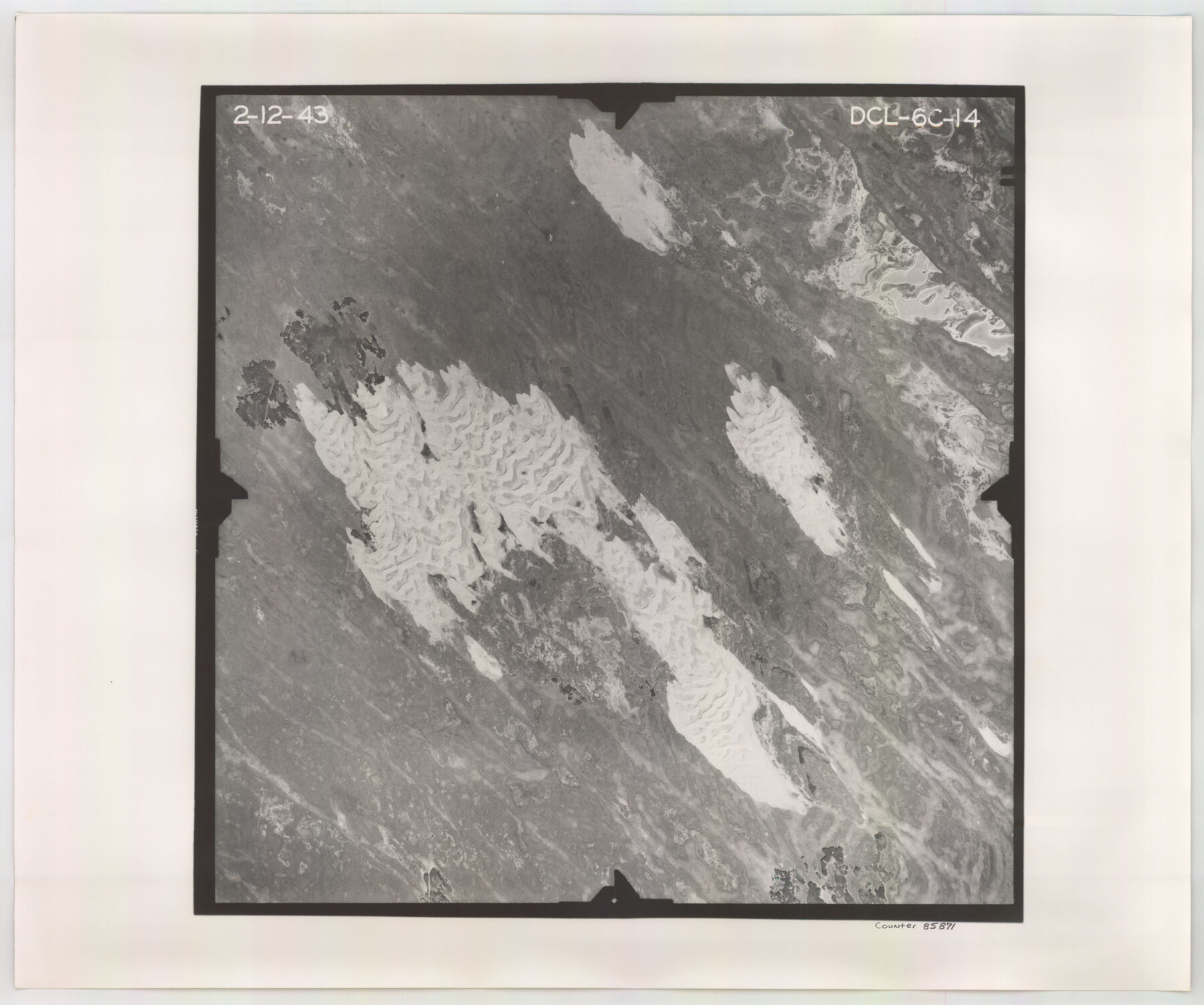
Flight Mission No. DCL-6C, Frame 14, Kenedy County
DCL-6C-14
-
Map/Doc
85871
-
Collection
General Map Collection
-
Object Dates
1943/2/12 (Creation Date)
-
People and Organizations
U. S. Department of Agriculture (Publisher)
-
Counties
Kenedy
-
Subjects
Aerial Photograph
-
Height x Width
18.7 x 22.4 inches
47.5 x 56.9 cm
-
Comments
Flown by Aerial Surveys of Pittsburgh, Inc. of Pittsburgh, Pennsylvania.
Part of: General Map Collection
Milam County Working Sketch 9

Print $20.00
- Digital $50.00
Milam County Working Sketch 9
1976
Size 27.2 x 22.7 inches
Map/Doc 71024
Howard County Rolled Sketch 8

Print $20.00
- Digital $50.00
Howard County Rolled Sketch 8
Size 43.0 x 18.4 inches
Map/Doc 6238
Jones County Sketch File 5

Print $4.00
- Digital $50.00
Jones County Sketch File 5
1859
Size 10.0 x 8.1 inches
Map/Doc 28492
Nacogdoches County Sketch File 11

Print $2.00
- Digital $50.00
Nacogdoches County Sketch File 11
Size 8.0 x 8.8 inches
Map/Doc 32255
A Map of the Cotton Kingdom and its Dependencies in America

Print $20.00
- Digital $50.00
A Map of the Cotton Kingdom and its Dependencies in America
1861
Size 12.2 x 18.6 inches
Map/Doc 96573

Dawson County Sketch File 21

Print $20.00
- Digital $50.00
Dawson County Sketch File 21
1953
Size 12.2 x 24.5 inches
Map/Doc 11297
Bell County Working Sketch 12

Print $20.00
- Digital $50.00
Bell County Working Sketch 12
1956
Size 17.2 x 22.0 inches
Map/Doc 67352
Hunt County Sketch File 30

Print $6.00
- Digital $50.00
Hunt County Sketch File 30
1862
Size 8.1 x 7.5 inches
Map/Doc 27132
Copy of Surveyor's Field Book, Morris Browning - In Blocks 7, 5 & 4, I&GNRRCo., Hutchinson and Carson Counties, Texas

Print $2.00
- Digital $50.00
Copy of Surveyor's Field Book, Morris Browning - In Blocks 7, 5 & 4, I&GNRRCo., Hutchinson and Carson Counties, Texas
1888
Size 7.0 x 8.8 inches
Map/Doc 62279
Maps & Lists Showing Prison Lands (Oil & Gas) Leased as of June 1955

Digital $50.00
Maps & Lists Showing Prison Lands (Oil & Gas) Leased as of June 1955
Size 11.4 x 7.1 inches
Map/Doc 62866
Township No. 5 South Range No. 9 West of the Indian Meridian

Print $20.00
- Digital $50.00
Township No. 5 South Range No. 9 West of the Indian Meridian
1874
Size 19.2 x 24.5 inches
Map/Doc 75135
You may also like
Sutton County Rolled Sketch 68

Print $20.00
- Digital $50.00
Sutton County Rolled Sketch 68
Size 31.0 x 37.4 inches
Map/Doc 9980
Mexico y sus Cercanias

Print $20.00
- Digital $50.00
Mexico y sus Cercanias
Size 26.1 x 34.2 inches
Map/Doc 96809
Bexar County State Real Property Sketch 3

Print $20.00
- Digital $50.00
Bexar County State Real Property Sketch 3
2000
Size 18.8 x 22.5 inches
Map/Doc 61671
Flight Mission No. CGI-1N, Frame 169, Cameron County

Print $20.00
- Digital $50.00
Flight Mission No. CGI-1N, Frame 169, Cameron County
1955
Size 18.6 x 22.2 inches
Map/Doc 84504
Zavala County Sketch File 46

Print $20.00
- Digital $50.00
Zavala County Sketch File 46
1937
Size 16.7 x 18.8 inches
Map/Doc 12734
Part of Garza, Crosby, Lynn, and Lubbock Counties

Print $20.00
- Digital $50.00
Part of Garza, Crosby, Lynn, and Lubbock Counties
Size 25.3 x 20.2 inches
Map/Doc 91300
Crosby County Boundary File 4a

Print $30.00
- Digital $50.00
Crosby County Boundary File 4a
Size 8.8 x 32.8 inches
Map/Doc 52028
Ector County Working Sketch 25

Print $20.00
- Digital $50.00
Ector County Working Sketch 25
1961
Size 29.6 x 34.2 inches
Map/Doc 68868
Bravo Deed, Instrument 24, Tract A and Tract B

Digital $50.00
Bravo Deed, Instrument 24, Tract A and Tract B
Map/Doc 91480
Map of Block 1, H. & G. N. RR. Co.

Print $20.00
- Digital $50.00
Map of Block 1, H. & G. N. RR. Co.
1908
Size 26.3 x 32.0 inches
Map/Doc 90899
Refinement of the Line by County Surveyors from Gonzales and Victoria Counties, April 14, 1838

Print $20.00
Refinement of the Line by County Surveyors from Gonzales and Victoria Counties, April 14, 1838
2020
Size 24.9 x 21.7 inches
Map/Doc 96379
Red River County Working Sketch 25

Print $20.00
- Digital $50.00
Red River County Working Sketch 25
1959
Size 23.0 x 22.2 inches
Map/Doc 72008