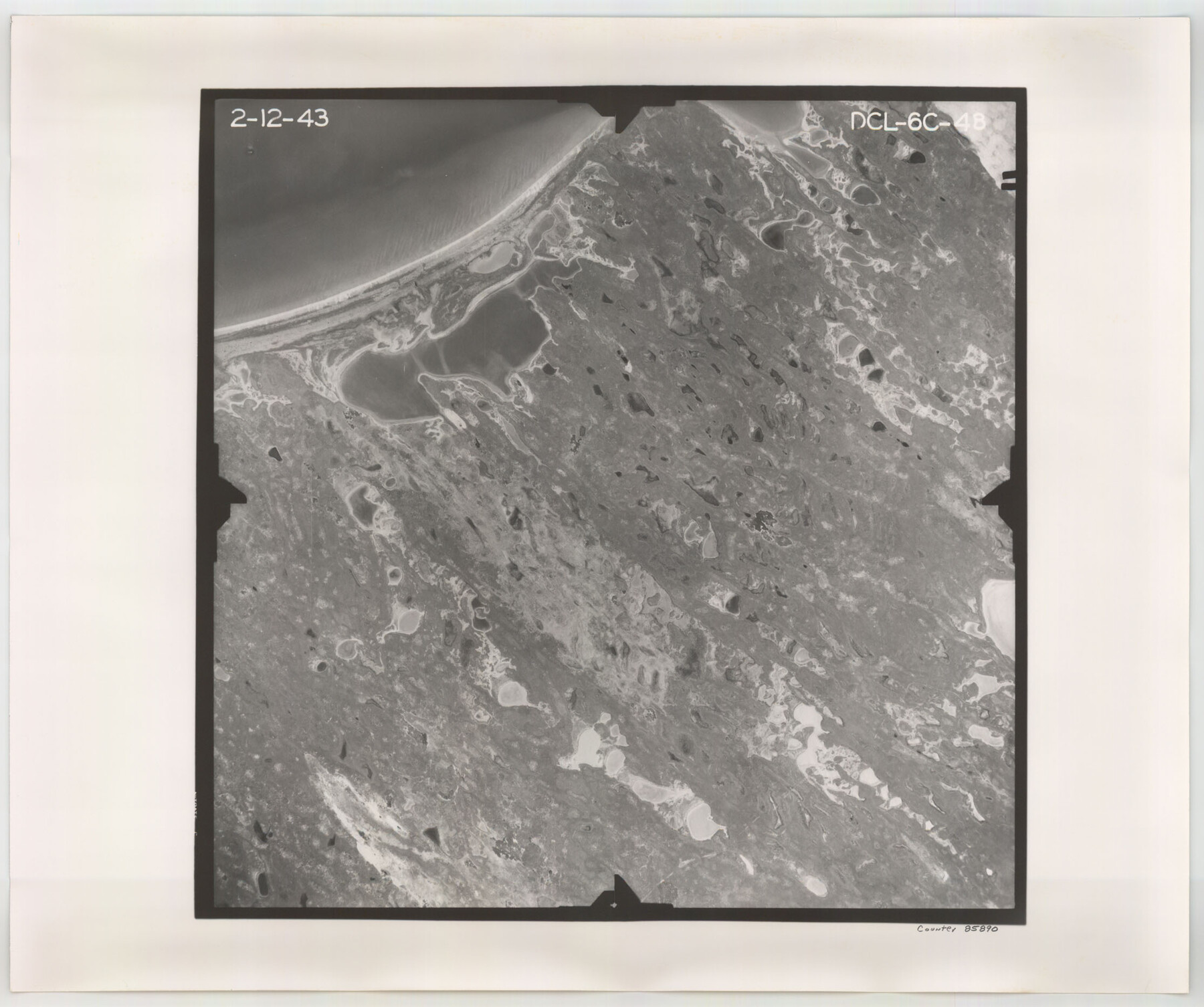
Flight Mission No. DCL-6C, Frame 48, Kenedy County
DCL-6C-48
-
Map/Doc
85890
-
Collection
General Map Collection
-
Object Dates
1943/2/12 (Creation Date)
-
People and Organizations
U. S. Department of Agriculture (Publisher)
-
Counties
Kenedy
-
Subjects
Aerial Photograph
-
Height x Width
18.7 x 22.3 inches
47.5 x 56.6 cm
-
Comments
Flown by Aerial Surveys of Pittsburgh, Inc. of Pittsburgh, Pennsylvania.
Part of: General Map Collection
Eastland County Working Sketch 17

Print $20.00
- Digital $50.00
Eastland County Working Sketch 17
1919
Size 18.3 x 16.2 inches
Map/Doc 68798
Jeff Davis County Working Sketch 7

Print $20.00
- Digital $50.00
Jeff Davis County Working Sketch 7
1938
Size 30.4 x 39.9 inches
Map/Doc 66502
Hudspeth County Working Sketch 56

Print $20.00
- Digital $50.00
Hudspeth County Working Sketch 56
1992
Size 40.7 x 31.1 inches
Map/Doc 66341
Dallas County Working Sketch Graphic Index

Print $20.00
- Digital $50.00
Dallas County Working Sketch Graphic Index
1942
Size 43.9 x 36.7 inches
Map/Doc 76517
Presidio County Rolled Sketch 1

Print $20.00
- Digital $50.00
Presidio County Rolled Sketch 1
Size 24.5 x 15.7 inches
Map/Doc 7325
[Aerial photograph from Carancahua Bend of Caney Creek to Cedar Lake]
![78640, [Aerial photograph from Carancahua Bend of Caney Creek to Cedar Lake], General Map Collection](https://historictexasmaps.com/wmedia_w700/maps/78640.tif.jpg)
Print $20.00
- Digital $50.00
[Aerial photograph from Carancahua Bend of Caney Creek to Cedar Lake]
1991
Size 24.4 x 30.3 inches
Map/Doc 78640
Galveston County Rolled Sketch RB

Print $20.00
- Digital $50.00
Galveston County Rolled Sketch RB
Size 36.0 x 22.2 inches
Map/Doc 5990
West Part of Liberty Co.

Print $40.00
- Digital $50.00
West Part of Liberty Co.
1977
Size 48.0 x 36.9 inches
Map/Doc 95570
Dallas County Boundary File 6f

Print $8.00
- Digital $50.00
Dallas County Boundary File 6f
Size 13.9 x 8.6 inches
Map/Doc 52271
Brewster County Working Sketch 68

Print $20.00
- Digital $50.00
Brewster County Working Sketch 68
1958
Size 23.3 x 22.6 inches
Map/Doc 67669
Erath County Sketch File 13a

Print $6.00
- Digital $50.00
Erath County Sketch File 13a
1872
Size 10.3 x 8.2 inches
Map/Doc 22287
Sherman County Sketch File 8

Print $61.00
- Digital $50.00
Sherman County Sketch File 8
1993
Size 11.4 x 8.9 inches
Map/Doc 36726
You may also like
Duval County Sketch File 35a

Print $26.00
- Digital $50.00
Duval County Sketch File 35a
Size 11.3 x 8.9 inches
Map/Doc 21371
Throckmorton County Boundary File 1

Print $12.00
- Digital $50.00
Throckmorton County Boundary File 1
Size 8.8 x 7.8 inches
Map/Doc 59258
Brewster County Rolled Sketch 59D

Print $20.00
- Digital $50.00
Brewster County Rolled Sketch 59D
Size 33.3 x 47.3 inches
Map/Doc 5231
Matagorda County NRC Article 33.136 Sketch 22

Print $24.00
Matagorda County NRC Article 33.136 Sketch 22
2025
Map/Doc 97486
Live Oak County Working Sketch 33

Print $20.00
- Digital $50.00
Live Oak County Working Sketch 33
1992
Size 25.9 x 35.1 inches
Map/Doc 70618
Gaines County Working Sketch 28

Print $20.00
- Digital $50.00
Gaines County Working Sketch 28
1982
Size 20.9 x 24.6 inches
Map/Doc 69328
Denton County Boundary File 4 and 4a and 4b and 4c

Print $168.00
- Digital $50.00
Denton County Boundary File 4 and 4a and 4b and 4c
Size 11.1 x 8.6 inches
Map/Doc 52448
Map of east part of West Bay & SW part of Galveston Bay, Galveston County showing subdivision for mineral development

Print $40.00
- Digital $50.00
Map of east part of West Bay & SW part of Galveston Bay, Galveston County showing subdivision for mineral development
1963
Size 64.1 x 45.4 inches
Map/Doc 3079
Map of the United States engraved to illustrate Mitchell's school and family geography (Inset: Map of the Gold Region of California)

Print $20.00
- Digital $50.00
Map of the United States engraved to illustrate Mitchell's school and family geography (Inset: Map of the Gold Region of California)
1849
Size 11.8 x 17.5 inches
Map/Doc 93494
Coleman County Sketch File 27

Print $4.00
- Digital $50.00
Coleman County Sketch File 27
1873
Size 12.8 x 8.0 inches
Map/Doc 18714
Edwards County Working Sketch 34

Print $20.00
- Digital $50.00
Edwards County Working Sketch 34
1948
Size 39.2 x 23.3 inches
Map/Doc 68910
