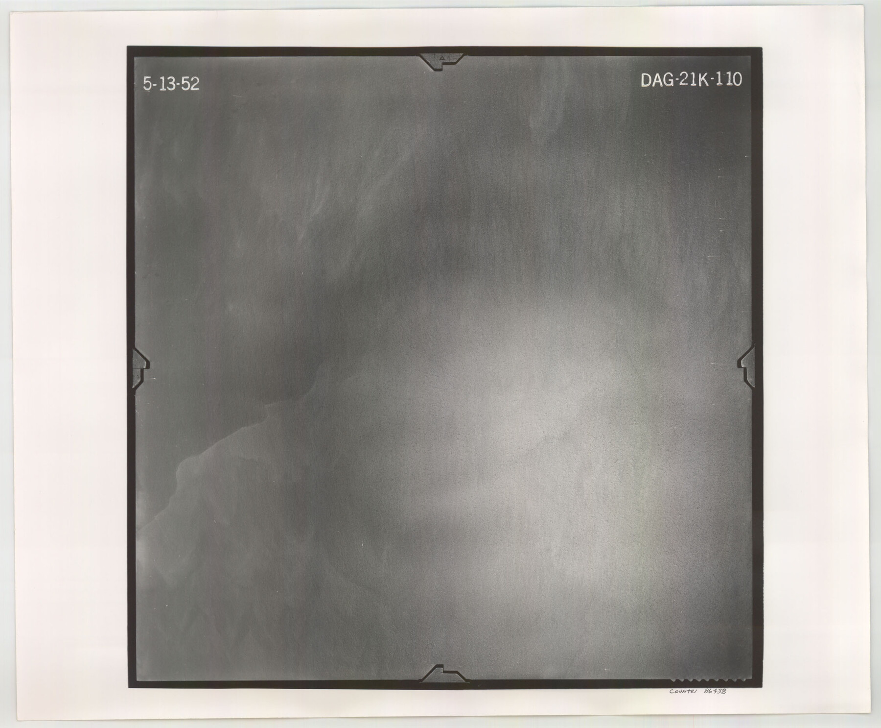
Flight Mission No. DAG-21K, Frame 110, Matagorda County
DAG-21K-110
-
Map/Doc
86438
-
Collection
General Map Collection
-
Object Dates
1952/5/13 (Creation Date)
-
People and Organizations
U. S. Department of Agriculture (Publisher)
-
Counties
Matagorda
-
Subjects
Aerial Photograph
-
Height x Width
18.6 x 22.6 inches
47.2 x 57.4 cm
-
Comments
Flown by Aero Exploration Company of Tulsa, Oklahoma.
Part of: General Map Collection
Schleicher County Working Sketch 19

Print $20.00
- Digital $50.00
Schleicher County Working Sketch 19
1948
Size 43.5 x 38.9 inches
Map/Doc 63821
Hemphill County

Print $20.00
- Digital $50.00
Hemphill County
1932
Size 39.9 x 36.6 inches
Map/Doc 73177
Galveston County NRC Article 33.136 Sketch 45

Print $21.00
- Digital $50.00
Galveston County NRC Article 33.136 Sketch 45
2007
Size 18.7 x 23.4 inches
Map/Doc 87365
Travis County Rolled Sketch 43

Print $20.00
- Digital $50.00
Travis County Rolled Sketch 43
1962
Size 27.3 x 22.7 inches
Map/Doc 8041
Anderson County Working Sketch 29

Print $20.00
- Digital $50.00
Anderson County Working Sketch 29
1962
Size 24.6 x 27.2 inches
Map/Doc 67029
Winkler County Rolled Sketch 15

Print $20.00
- Digital $50.00
Winkler County Rolled Sketch 15
1968
Size 25.1 x 37.8 inches
Map/Doc 10305
Connected Map of Austin's Colony

Print $20.00
- Digital $50.00
Connected Map of Austin's Colony
1892
Size 46.9 x 43.5 inches
Map/Doc 76076
Webb County Rolled Sketch 31

Print $20.00
- Digital $50.00
Webb County Rolled Sketch 31
Size 38.8 x 44.5 inches
Map/Doc 10122

Presidio County Rolled Sketch 82

Print $20.00
- Digital $50.00
Presidio County Rolled Sketch 82
1943
Size 35.5 x 26.1 inches
Map/Doc 7369
Young County Working Sketch Graphic Index

Print $20.00
- Digital $50.00
Young County Working Sketch Graphic Index
1941
Size 44.1 x 38.4 inches
Map/Doc 76748
Current Miscellaneous File 89

Print $4.00
- Digital $50.00
Current Miscellaneous File 89
Size 12.1 x 8.9 inches
Map/Doc 74253
You may also like
[Sketch showing surveys in the north half of Potter County, Blocks 1, 6-T, 25, B-10, B-12, O-18, P and Mc, and H. & T. C., Block 44]
![91742, [Sketch showing surveys in the north half of Potter County, Blocks 1, 6-T, 25, B-10, B-12, O-18, P and Mc, and H. & T. C., Block 44], Twichell Survey Records](https://historictexasmaps.com/wmedia_w700/maps/91742-1.tif.jpg)
Print $20.00
- Digital $50.00
[Sketch showing surveys in the north half of Potter County, Blocks 1, 6-T, 25, B-10, B-12, O-18, P and Mc, and H. & T. C., Block 44]
Size 40.4 x 17.7 inches
Map/Doc 91742
Palo Pinto County, Texas

Print $20.00
- Digital $50.00
Palo Pinto County, Texas
1871
Size 28.8 x 23.4 inches
Map/Doc 660
[H. & G. N. Block B3]
![89982, [H. & G. N. Block B3], Twichell Survey Records](https://historictexasmaps.com/wmedia_w700/maps/89982-1.tif.jpg)
Print $3.00
- Digital $50.00
[H. & G. N. Block B3]
Size 17.4 x 8.1 inches
Map/Doc 89982
Zapata County Working Sketch 18

Print $20.00
- Digital $50.00
Zapata County Working Sketch 18
1975
Size 43.2 x 29.1 inches
Map/Doc 62069
Burnet County Working Sketch 13

Print $40.00
- Digital $50.00
Burnet County Working Sketch 13
1977
Size 40.5 x 49.2 inches
Map/Doc 67856
Presidio County Working Sketch 36

Print $20.00
- Digital $50.00
Presidio County Working Sketch 36
1947
Size 27.9 x 40.7 inches
Map/Doc 71713
Runnels County Rolled Sketch 55

Print $20.00
- Digital $50.00
Runnels County Rolled Sketch 55
2012
Size 20.9 x 18.7 inches
Map/Doc 93386
El Paso County Sketch File 35 (6)

Print $20.00
- Digital $50.00
El Paso County Sketch File 35 (6)
1886
Size 20.3 x 36.9 inches
Map/Doc 11460
Reagan County Working Sketch 16

Print $20.00
- Digital $50.00
Reagan County Working Sketch 16
1950
Size 24.5 x 42.5 inches
Map/Doc 71858
Atascosa County Sketch File 27a

Print $4.00
- Digital $50.00
Atascosa County Sketch File 27a
Size 8.4 x 14.3 inches
Map/Doc 13799
Real County Working Sketch 1

Print $20.00
- Digital $50.00
Real County Working Sketch 1
Size 16.5 x 18.8 inches
Map/Doc 71893
Flight Mission No. CRC-3R, Frame 20, Chambers County

Print $20.00
- Digital $50.00
Flight Mission No. CRC-3R, Frame 20, Chambers County
1956
Size 18.6 x 22.2 inches
Map/Doc 84794