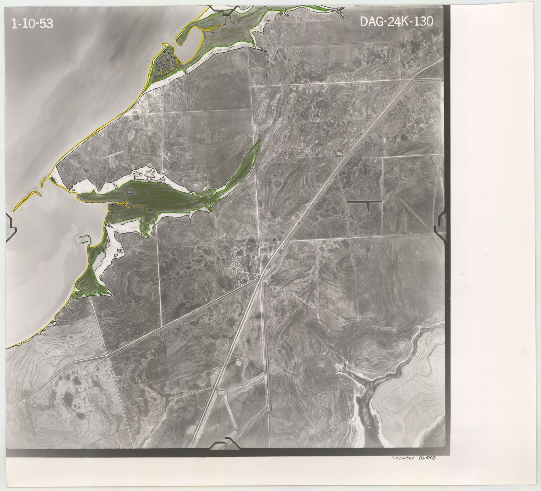
Flight Mission No. DAG-24K, Frame 130, Matagorda County
DAG-24K-130
-
Map/Doc
86548
-
Collection
General Map Collection
-
Object Dates
1953/1/10 (Creation Date)
-
People and Organizations
U. S. Department of Agriculture (Publisher)
-
Counties
Matagorda
-
Subjects
Aerial Photograph
-
Height x Width
17.1 x 18.8 inches
43.4 x 47.8 cm
-
Comments
Flown by Aero Exploration Company of Tulsa, Oklahoma.
Part of: General Map Collection
Nueces County Sketch File 34

Print $6.00
- Digital $50.00
Nueces County Sketch File 34
1908
Size 11.6 x 12.9 inches
Map/Doc 32611
Lee County Sketch File 4a

Print $4.00
- Digital $50.00
Lee County Sketch File 4a
1860
Size 12.9 x 8.2 inches
Map/Doc 29684
McMullen County Working Sketch 16

Print $20.00
- Digital $50.00
McMullen County Working Sketch 16
1940
Size 23.8 x 19.8 inches
Map/Doc 70717
Kimble County Working Sketch 80

Print $20.00
- Digital $50.00
Kimble County Working Sketch 80
1971
Size 32.3 x 24.3 inches
Map/Doc 70148
Runnels County Rolled Sketch 39

Print $20.00
- Digital $50.00
Runnels County Rolled Sketch 39
Size 34.3 x 31.6 inches
Map/Doc 7526
Liberty County Sketch File 10

Print $4.00
- Digital $50.00
Liberty County Sketch File 10
1858
Size 9.5 x 8.9 inches
Map/Doc 29903
Houston County Rolled Sketch 6

Print $40.00
- Digital $50.00
Houston County Rolled Sketch 6
1963
Size 48.0 x 34.3 inches
Map/Doc 9182
Sutton County Sketch File 27

Print $20.00
- Digital $50.00
Sutton County Sketch File 27
Size 38.8 x 15.1 inches
Map/Doc 10377
Hutchinson County Working Sketch 33

Print $20.00
- Digital $50.00
Hutchinson County Working Sketch 33
1978
Size 27.5 x 23.5 inches
Map/Doc 66393
Duval County Working Sketch 25

Print $20.00
- Digital $50.00
Duval County Working Sketch 25
1946
Size 23.7 x 20.1 inches
Map/Doc 68749

Denton County Working Sketch 3

Print $20.00
- Digital $50.00
Denton County Working Sketch 3
1935
Size 24.6 x 36.4 inches
Map/Doc 68608
You may also like
Duval County Sketch File 67

Print $16.00
- Digital $50.00
Duval County Sketch File 67
1949
Size 14.2 x 8.8 inches
Map/Doc 21448
Bosque County Rolled Sketch 2

Print $20.00
- Digital $50.00
Bosque County Rolled Sketch 2
Size 30.2 x 18.1 inches
Map/Doc 5160
Trinity River, Bazzette Sheet

Print $4.00
- Digital $50.00
Trinity River, Bazzette Sheet
1925
Size 28.2 x 24.9 inches
Map/Doc 65218
Armstrong County Sketch File A-9

Print $40.00
- Digital $50.00
Armstrong County Sketch File A-9
1920
Size 13.7 x 35.4 inches
Map/Doc 10851
Pecos County Working Sketch 126

Print $20.00
- Digital $50.00
Pecos County Working Sketch 126
1936
Size 15.3 x 27.4 inches
Map/Doc 71600
[Block M, Section 132, Dawson County, Texas]
![92631, [Block M, Section 132, Dawson County, Texas], Twichell Survey Records](https://historictexasmaps.com/wmedia_w700/maps/92631-1.tif.jpg)
Print $20.00
- Digital $50.00
[Block M, Section 132, Dawson County, Texas]
1951
Size 15.9 x 14.3 inches
Map/Doc 92631
Brazoria County NRC Article 33.136 Sketch 9

Print $24.00
- Digital $50.00
Brazoria County NRC Article 33.136 Sketch 9
2007
Size 24.2 x 34.1 inches
Map/Doc 87929
Flight Mission No. DAG-26K, Frame 64, Matagorda County

Print $20.00
- Digital $50.00
Flight Mission No. DAG-26K, Frame 64, Matagorda County
1953
Size 18.5 x 22.2 inches
Map/Doc 86584
Souvenir - Opening and Dedication of the General Oil Company's New West Texas Oil Field

Souvenir - Opening and Dedication of the General Oil Company's New West Texas Oil Field
1920
Map/Doc 97263
[Sketch of part of G. & M. Block 5, G. & M. Block 4, Block M19 and Block 21W]
![93085, [Sketch of part of G. & M. Block 5, G. & M. Block 4, Block M19 and Block 21W], Twichell Survey Records](https://historictexasmaps.com/wmedia_w700/maps/93085-1.tif.jpg)
Print $20.00
- Digital $50.00
[Sketch of part of G. & M. Block 5, G. & M. Block 4, Block M19 and Block 21W]
Size 23.1 x 17.8 inches
Map/Doc 93085
Hudspeth County Working Sketch 53

Print $20.00
- Digital $50.00
Hudspeth County Working Sketch 53
1989
Size 31.2 x 33.8 inches
Map/Doc 66338
Presidio County Sketch File 99

Print $8.00
- Digital $50.00
Presidio County Sketch File 99
1955
Size 11.2 x 8.8 inches
Map/Doc 34787