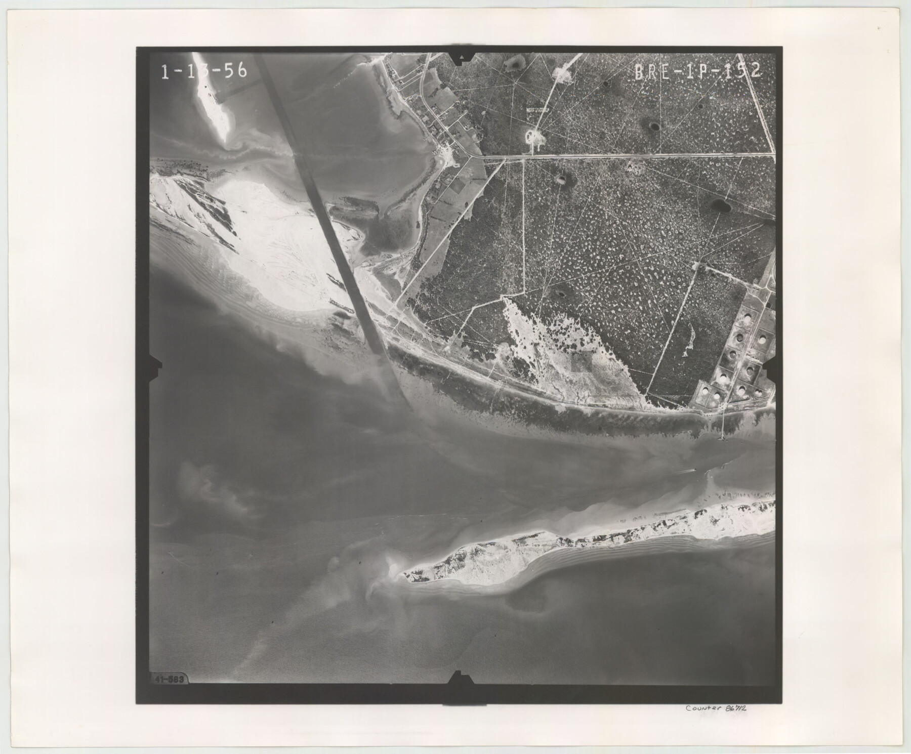
Flight Mission No. BRE-1P, Frame 152, Nueces County
BRE-1P-152
-
Map/Doc
86712
-
Collection
General Map Collection
-
Object Dates
1956/1/13 (Creation Date)
-
People and Organizations
U. S. Department of Agriculture (Publisher)
-
Counties
Nueces
-
Subjects
Aerial Photograph
-
Height x Width
18.4 x 22.3 inches
46.7 x 56.6 cm
-
Comments
Flown by V. L. Beavers and Associates of San Antonio, Texas.
Part of: General Map Collection
Newton County Sketch File 9

Print $4.00
- Digital $50.00
Newton County Sketch File 9
Size 9.8 x 8.3 inches
Map/Doc 32378
Limestone County Working Sketch 23

Print $20.00
- Digital $50.00
Limestone County Working Sketch 23
1980
Size 37.3 x 37.5 inches
Map/Doc 70573
Robertson Co.

Print $20.00
- Digital $50.00
Robertson Co.
1945
Size 46.3 x 37.2 inches
Map/Doc 77409
Map of Montgomery County

Print $40.00
- Digital $50.00
Map of Montgomery County
1844
Size 56.6 x 41.3 inches
Map/Doc 78671
Uvalde County Working Sketch 20

Print $20.00
- Digital $50.00
Uvalde County Working Sketch 20
1950
Size 41.5 x 32.4 inches
Map/Doc 72090
Bell County Sketch File 4

Print $40.00
- Digital $50.00
Bell County Sketch File 4
1848
Size 15.9 x 12.6 inches
Map/Doc 14369
Young County Sketch File 3

Print $4.00
- Digital $50.00
Young County Sketch File 3
1854
Size 12.3 x 8.2 inches
Map/Doc 40847
Presidio County Working Sketch 49

Print $20.00
- Digital $50.00
Presidio County Working Sketch 49
1951
Size 34.5 x 47.0 inches
Map/Doc 71726
Real County Working Sketch 32

Print $20.00
- Digital $50.00
Real County Working Sketch 32
1948
Size 15.6 x 19.6 inches
Map/Doc 71924
Aransas County NRC Article 33.136 Location Key Sheet

Print $20.00
- Digital $50.00
Aransas County NRC Article 33.136 Location Key Sheet
1979
Size 27.0 x 23.0 inches
Map/Doc 87905
Winkler County Working Sketch 2

Print $20.00
- Digital $50.00
Winkler County Working Sketch 2
1944
Size 36.9 x 29.9 inches
Map/Doc 72596
Bastrop County Working Sketch Graphic Index

Print $40.00
- Digital $50.00
Bastrop County Working Sketch Graphic Index
1955
Size 49.6 x 40.9 inches
Map/Doc 76462
You may also like
Harrison County Sketch File 12

Print $20.00
- Digital $50.00
Harrison County Sketch File 12
Size 21.5 x 24.1 inches
Map/Doc 11687
Nueces County NRC Article 33.136 Sketch 10

Print $36.00
- Digital $50.00
Nueces County NRC Article 33.136 Sketch 10
2004
Size 23.9 x 35.9 inches
Map/Doc 83526
Upton County Working Sketch 11

Print $20.00
- Digital $50.00
Upton County Working Sketch 11
1927
Size 21.8 x 38.5 inches
Map/Doc 69507
Polk County Working Sketch 17

Print $20.00
- Digital $50.00
Polk County Working Sketch 17
1948
Size 28.3 x 18.5 inches
Map/Doc 71632
Map of survey of a part of Padre and Mustang Islands made for the Office of the Attorney General of the State of Texas

Print $20.00
- Digital $50.00
Map of survey of a part of Padre and Mustang Islands made for the Office of the Attorney General of the State of Texas
1941
Size 40.8 x 39.5 inches
Map/Doc 2257
Monterey Harbor, California

Print $20.00
- Digital $50.00
Monterey Harbor, California
1852
Size 15.7 x 13.8 inches
Map/Doc 97230
Coke County Rolled Sketch 2

Print $20.00
- Digital $50.00
Coke County Rolled Sketch 2
1947
Size 15.5 x 17.4 inches
Map/Doc 5504
Flight Mission No. CRC-1R, Frame 95, Chambers County

Print $20.00
- Digital $50.00
Flight Mission No. CRC-1R, Frame 95, Chambers County
1956
Size 18.7 x 22.3 inches
Map/Doc 84710
Upton County Rolled Sketch 23

Print $20.00
- Digital $50.00
Upton County Rolled Sketch 23
1940
Size 25.7 x 39.4 inches
Map/Doc 8074
Crockett County Sketch File D

Print $40.00
- Digital $50.00
Crockett County Sketch File D
1903
Size 24.6 x 48.0 inches
Map/Doc 10347
[Surveys in the Bexar District along the Atascosa Creek]
![163, [Surveys in the Bexar District along the Atascosa Creek], General Map Collection](https://historictexasmaps.com/wmedia_w700/maps/163.tif.jpg)
Print $3.00
- Digital $50.00
[Surveys in the Bexar District along the Atascosa Creek]
1847
Size 16.9 x 11.6 inches
Map/Doc 163
Flight Mission No. BQY-15M, Frame 17, Harris County

Print $20.00
- Digital $50.00
Flight Mission No. BQY-15M, Frame 17, Harris County
1953
Size 18.5 x 22.2 inches
Map/Doc 85315