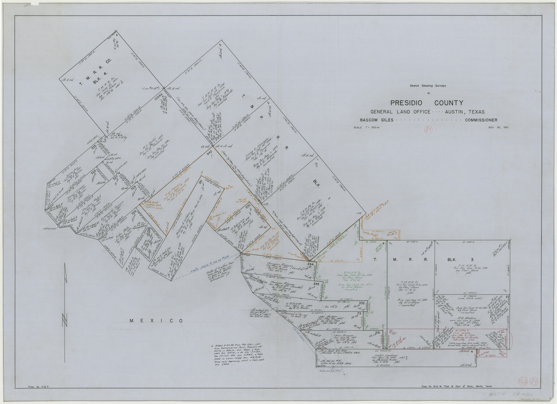
Presidio County Working Sketch 49
-
Map/Doc
71726
-
Collection
General Map Collection
-
Object Dates
11/30/1951 (Creation Date)
-
Counties
Presidio
-
Subjects
Surveying Working Sketch
-
Height x Width
34.5 x 47.0 inches
87.6 x 119.4 cm
-
Scale
1" = 300 varas
Part of: General Map Collection
Real County Working Sketch 32

Print $20.00
- Digital $50.00
Real County Working Sketch 32
1948
Size 15.6 x 19.6 inches
Map/Doc 71924
Austin County Boundary File 2

Print $32.00
- Digital $50.00
Austin County Boundary File 2
Size 22.4 x 30.7 inches
Map/Doc 50236
Kimble County Working Sketch 90

Print $20.00
- Digital $50.00
Kimble County Working Sketch 90
1979
Size 17.3 x 28.2 inches
Map/Doc 70158
Flight Mission No. DQO-8K, Frame 88, Galveston County

Print $20.00
- Digital $50.00
Flight Mission No. DQO-8K, Frame 88, Galveston County
1952
Size 18.7 x 22.4 inches
Map/Doc 85190
Roberts County Working Sketch 26

Print $20.00
- Digital $50.00
Roberts County Working Sketch 26
1982
Size 28.5 x 31.6 inches
Map/Doc 63552
Hill County Boundary File 45

Print $41.00
- Digital $50.00
Hill County Boundary File 45
Size 9.0 x 3.6 inches
Map/Doc 54743
Terrell County Working Sketch 34

Print $20.00
- Digital $50.00
Terrell County Working Sketch 34
1945
Size 26.3 x 37.7 inches
Map/Doc 62126
[Galveston, Harrisburg & San Antonio through El Paso County]
![64014, [Galveston, Harrisburg & San Antonio through El Paso County], General Map Collection](https://historictexasmaps.com/wmedia_w700/maps/64014.tif.jpg)
Print $20.00
- Digital $50.00
[Galveston, Harrisburg & San Antonio through El Paso County]
1906
Size 13.4 x 33.8 inches
Map/Doc 64014
Brooks County Working Sketch 3

Print $20.00
- Digital $50.00
Brooks County Working Sketch 3
Size 16.2 x 21.3 inches
Map/Doc 67787


Tom Green County Sketch File 46 1/2

Print $40.00
- Digital $50.00
Tom Green County Sketch File 46 1/2
1882
Size 12.7 x 19.6 inches
Map/Doc 12440
You may also like
Rio Grande, Hidalgo Sheet

Print $20.00
- Digital $50.00
Rio Grande, Hidalgo Sheet
1937
Size 36.8 x 36.8 inches
Map/Doc 65122
Flight Mission No. DIX-10P, Frame 66, Aransas County

Print $20.00
- Digital $50.00
Flight Mission No. DIX-10P, Frame 66, Aransas County
1956
Size 18.8 x 22.5 inches
Map/Doc 83927
Johnson County

Print $20.00
- Digital $50.00
Johnson County
1874
Size 19.9 x 18.0 inches
Map/Doc 3736
Map Showing Location of Dallas & Greenville Railroad through Rockwall County, Texas

Print $3.00
- Digital $50.00
Map Showing Location of Dallas & Greenville Railroad through Rockwall County, Texas
Size 7.9 x 17.5 inches
Map/Doc 64485
Kimble County Working Sketch 28

Print $20.00
- Digital $50.00
Kimble County Working Sketch 28
1938
Size 29.4 x 23.2 inches
Map/Doc 70096
Collingsworth County Sketch File 7

Print $10.00
- Digital $50.00
Collingsworth County Sketch File 7
1915
Size 11.4 x 9.0 inches
Map/Doc 18884
Kent County, Texas

Print $20.00
- Digital $50.00
Kent County, Texas
1880
Size 23.2 x 19.8 inches
Map/Doc 736
Right of Way & Track Map, St. Louis, Brownsville & Mexico Ry. operated by St. Louis, Brownsville & Mexico Ry. Co.

Print $40.00
- Digital $50.00
Right of Way & Track Map, St. Louis, Brownsville & Mexico Ry. operated by St. Louis, Brownsville & Mexico Ry. Co.
1919
Size 25.6 x 57.1 inches
Map/Doc 64616

Haskell County Working Sketch 5

Print $20.00
- Digital $50.00
Haskell County Working Sketch 5
1945
Size 22.2 x 37.2 inches
Map/Doc 66063
Lamar County State Real Property Sketch 1

Print $20.00
- Digital $50.00
Lamar County State Real Property Sketch 1
2013
Size 24.0 x 36.0 inches
Map/Doc 93657
Rusk County Working Sketch 21

Print $20.00
- Digital $50.00
Rusk County Working Sketch 21
1953
Size 27.6 x 28.3 inches
Map/Doc 63657