[Galveston, Harrisburg & San Antonio through El Paso County]
Z-2-2
-
Map/Doc
64014
-
Collection
General Map Collection
-
Object Dates
1906 (Creation Date)
-
Counties
El Paso
-
Subjects
Railroads
-
Height x Width
13.4 x 33.8 inches
34.0 x 85.9 cm
-
Medium
blueprint/diazo
-
Comments
See counter nos. 64001 through 64013 and 64015 for other sections of the map.
-
Features
GH&SA
[Railroad line] to Houston
Small
[Railroad line] to El Paso
Part of: General Map Collection
Grayson County Working Sketch 13


Print $20.00
- Digital $50.00
Grayson County Working Sketch 13
1952
Size 31.1 x 38.0 inches
Map/Doc 63252
Crockett County Rolled Sketch 50
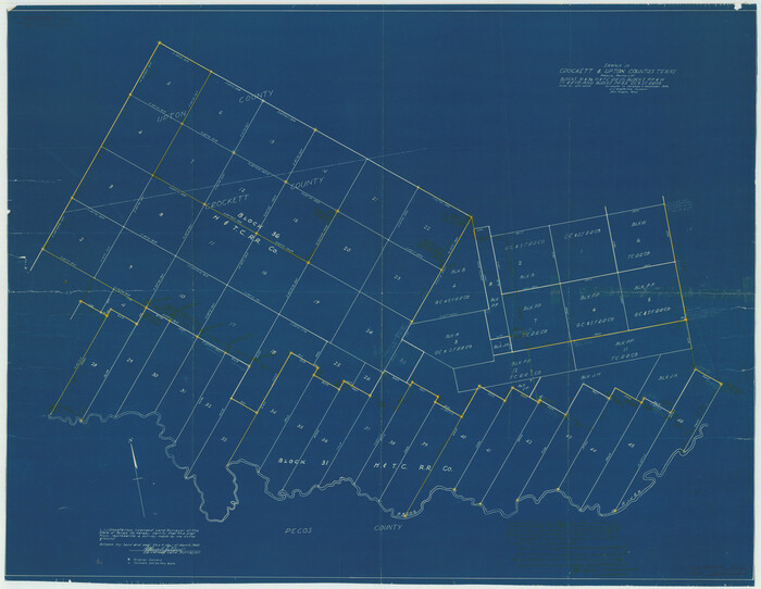

Print $20.00
- Digital $50.00
Crockett County Rolled Sketch 50
1940
Size 31.5 x 40.7 inches
Map/Doc 8714
Jasper County Boundary File 1


Print $50.00
- Digital $50.00
Jasper County Boundary File 1
Size 12.6 x 20.5 inches
Map/Doc 55462
Pecos County Rolled Sketch 128
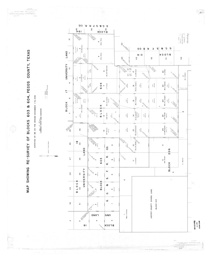

Print $40.00
- Digital $50.00
Pecos County Rolled Sketch 128
1949
Size 43.6 x 54.0 inches
Map/Doc 9725
Flight Mission No. CGI-3N, Frame 136, Cameron County
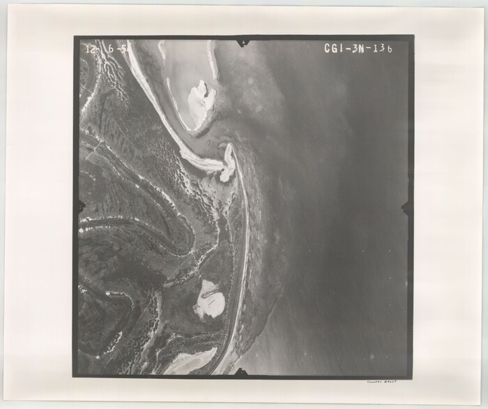

Print $20.00
- Digital $50.00
Flight Mission No. CGI-3N, Frame 136, Cameron County
1954
Size 18.6 x 22.3 inches
Map/Doc 84609
Map of Potter County
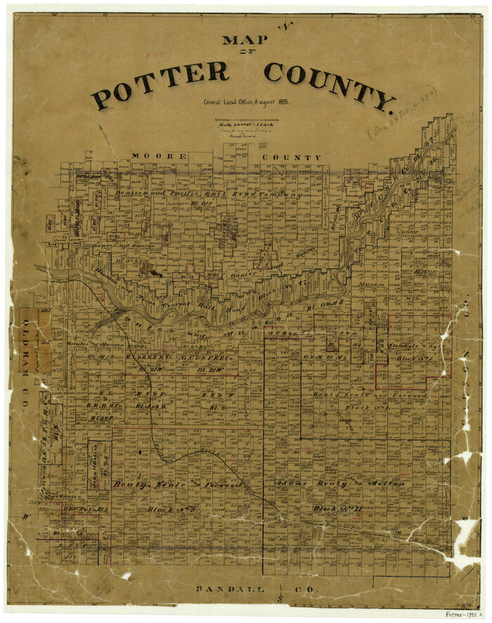

Print $20.00
- Digital $50.00
Map of Potter County
1895
Size 23.6 x 18.4 inches
Map/Doc 4617
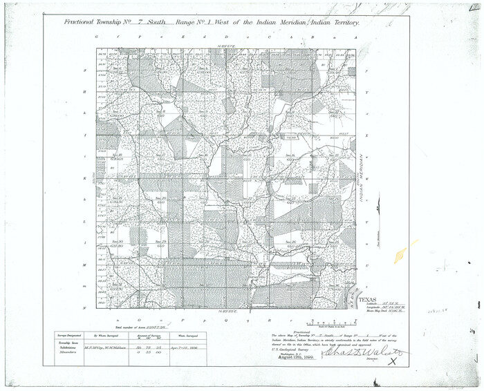
Fractional Township No. 7 South Range No. 1 West of the Indian Meridian, Indian Territory

Print $4.00
- Digital $50.00
Fractional Township No. 7 South Range No. 1 West of the Indian Meridian, Indian Territory
1898
Size 18.1 x 22.4 inches
Map/Doc 75145
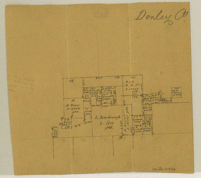
Donley County Sketch File 21

Print $4.00
- Digital $50.00
Donley County Sketch File 21
Size 8.4 x 9.5 inches
Map/Doc 21256
Lamb County Rolled Sketch 8


Print $20.00
- Digital $50.00
Lamb County Rolled Sketch 8
1910
Size 40.1 x 32.8 inches
Map/Doc 10728
Austin County Working Sketch 2


Print $20.00
- Digital $50.00
Austin County Working Sketch 2
1944
Size 23.3 x 27.0 inches
Map/Doc 67243
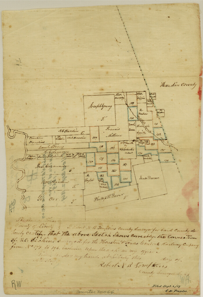
Liberty County Sketch File B

Print $4.00
- Digital $50.00
Liberty County Sketch File B
1869
Size 12.0 x 8.2 inches
Map/Doc 30066
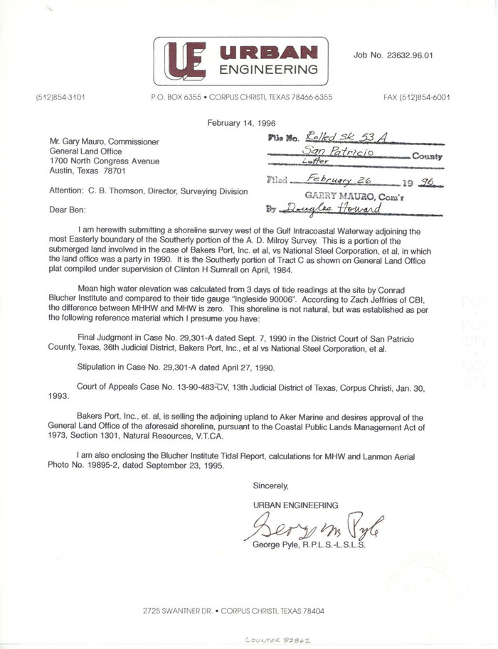
San Patricio County Rolled Sketch 53A-53C

Print $102.00
- Digital $50.00
San Patricio County Rolled Sketch 53A-53C
1996
Size 11.0 x 8.5 inches
Map/Doc 82862
You may also like
Map of the Texas and Pacific Railway and Connections


Print $20.00
Map of the Texas and Pacific Railway and Connections
1897
Size 17.7 x 36.1 inches
Map/Doc 76298
Hardin County Working Sketch 28
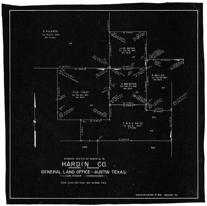

Print $20.00
- Digital $50.00
Hardin County Working Sketch 28
1956
Size 18.8 x 18.9 inches
Map/Doc 63426
North America in the Age of Dinosaurs
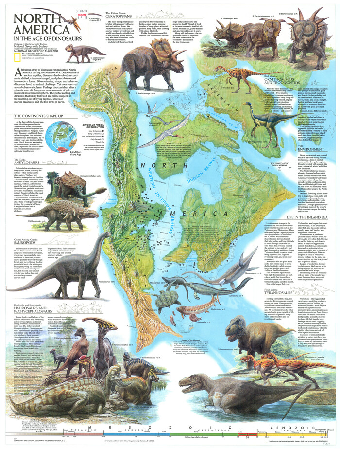

North America in the Age of Dinosaurs
1993
Size 27.4 x 20.8 inches
Map/Doc 96831
Map of Houston, Harris County, Texas


Print $20.00
- Digital $50.00
Map of Houston, Harris County, Texas
1900
Size 38.5 x 32.0 inches
Map/Doc 93390
Hays County Rolled Sketch 22


Print $20.00
- Digital $50.00
Hays County Rolled Sketch 22
1924
Size 19.4 x 20.6 inches
Map/Doc 6178
Lubbock Irrigation Co. San Augustine County School Land Lubbock County, Texas
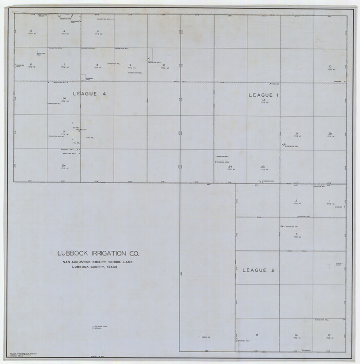

Print $20.00
- Digital $50.00
Lubbock Irrigation Co. San Augustine County School Land Lubbock County, Texas
Size 37.5 x 37.9 inches
Map/Doc 89894
Erath County Working Sketch 25


Print $20.00
- Digital $50.00
Erath County Working Sketch 25
1968
Size 26.8 x 20.3 inches
Map/Doc 69106
Laredo Route. Mexican National Railroad - the Shortest Line to Mexico
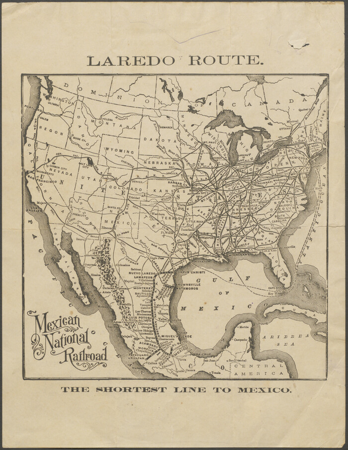

Print $20.00
- Digital $50.00
Laredo Route. Mexican National Railroad - the Shortest Line to Mexico
1905
Size 11.0 x 8.5 inches
Map/Doc 96589
[Terry County Highways]
![92905, [Terry County Highways], Twichell Survey Records](https://historictexasmaps.com/wmedia_w700/maps/92905-1.tif.jpg)
![92905, [Terry County Highways], Twichell Survey Records](https://historictexasmaps.com/wmedia_w700/maps/92905-1.tif.jpg)
Print $20.00
- Digital $50.00
[Terry County Highways]
Size 17.0 x 16.8 inches
Map/Doc 92905
Maps of Gulf Intracoastal Waterway, Texas - Sabine River to the Rio Grande and connecting waterways including ship channels


Print $20.00
- Digital $50.00
Maps of Gulf Intracoastal Waterway, Texas - Sabine River to the Rio Grande and connecting waterways including ship channels
1966
Size 14.6 x 22.4 inches
Map/Doc 61953
![64014, [Galveston, Harrisburg & San Antonio through El Paso County], General Map Collection](https://historictexasmaps.com/wmedia_w1800h1800/maps/64014.tif.jpg)
![91461, [Block B7], Twichell Survey Records](https://historictexasmaps.com/wmedia_w700/maps/91461-1.tif.jpg)
