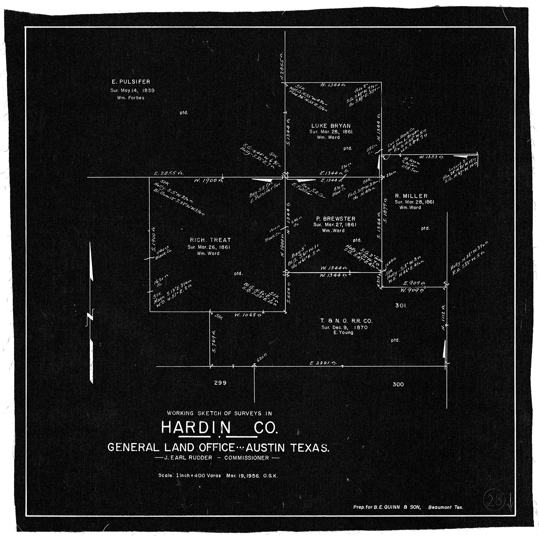
Hardin County Working Sketch 28
-
Map/Doc
63426
-
Collection
General Map Collection
-
Object Dates
3/19/1956 (Creation Date)
-
People and Organizations
Otto G. Kurio (Draftsman)
-
Counties
Hardin
-
Subjects
Surveying Working Sketch
-
Height x Width
18.8 x 18.9 inches
47.8 x 48.0 cm
-
Scale
1" = 400 varas
Part of: General Map Collection
Zapata County

Print $40.00
- Digital $50.00
Zapata County
1935
Size 56.2 x 41.9 inches
Map/Doc 95683
Van Zandt County Sketch File 3

Print $8.00
- Digital $50.00
Van Zandt County Sketch File 3
1858
Size 8.3 x 8.0 inches
Map/Doc 39366
Erath County Rolled Sketch 2B

Print $20.00
- Digital $50.00
Erath County Rolled Sketch 2B
Size 15.5 x 20.9 inches
Map/Doc 5863
Flight Mission No. BRE-1P, Frame 103, Nueces County

Print $20.00
- Digital $50.00
Flight Mission No. BRE-1P, Frame 103, Nueces County
1956
Size 18.4 x 22.2 inches
Map/Doc 86674
[Geological Map of Texas]
![62962, [Geological Map of Texas], General Map Collection](https://historictexasmaps.com/wmedia_w700/maps/62962.tif.jpg)
Print $20.00
- Digital $50.00
[Geological Map of Texas]
Size 17.6 x 18.1 inches
Map/Doc 62962
Borden County Rolled Sketch 10

Print $40.00
- Digital $50.00
Borden County Rolled Sketch 10
1952
Size 110.6 x 29.8 inches
Map/Doc 8449
Pecos County Rolled Sketch 83

Print $20.00
- Digital $50.00
Pecos County Rolled Sketch 83
1931
Size 17.6 x 26.2 inches
Map/Doc 7242
Pecos County Sketch File 49

Print $4.00
- Digital $50.00
Pecos County Sketch File 49
1900
Size 14.2 x 8.6 inches
Map/Doc 33764
Current Miscellaneous File 48

Print $32.00
- Digital $50.00
Current Miscellaneous File 48
Size 11.2 x 8.7 inches
Map/Doc 73996
Panola County Sketch File 8

Print $4.00
- Digital $50.00
Panola County Sketch File 8
1862
Size 12.8 x 7.8 inches
Map/Doc 33459
[Texas Gulf Coast from Rio Grande to Sabine Lake]
![72686, [Texas Gulf Coast from Rio Grande to Sabine Lake], General Map Collection](https://historictexasmaps.com/wmedia_w700/maps/72686.tif.jpg)
Print $20.00
- Digital $50.00
[Texas Gulf Coast from Rio Grande to Sabine Lake]
Size 28.0 x 18.3 inches
Map/Doc 72686
Hartley County Sketch File 2

Print $22.00
- Digital $50.00
Hartley County Sketch File 2
Size 8.9 x 13.6 inches
Map/Doc 26085
You may also like


United States - Gulf Coast - Padre I. and Laguna Madre Lat. 27° 12' to Lat. 26° 33' Texas

Print $20.00
- Digital $50.00
United States - Gulf Coast - Padre I. and Laguna Madre Lat. 27° 12' to Lat. 26° 33' Texas
1913
Size 27.1 x 18.3 inches
Map/Doc 72818
Bell County Sketch File 23a

Print $6.00
- Digital $50.00
Bell County Sketch File 23a
1873
Size 10.0 x 15.7 inches
Map/Doc 14416

The Spot Map of San Antonio including a classified directory showing location of postal zones, points of interest, places of business - and how to get there

Print $20.00
- Digital $50.00
The Spot Map of San Antonio including a classified directory showing location of postal zones, points of interest, places of business - and how to get there
1941
Size 21.2 x 28.2 inches
Map/Doc 95953
Burleson County Working Sketch 32

Print $20.00
- Digital $50.00
Burleson County Working Sketch 32
1981
Size 26.3 x 13.5 inches
Map/Doc 67751
Jasper County Rolled Sketch 5

Print $20.00
- Digital $50.00
Jasper County Rolled Sketch 5
1948
Size 29.0 x 24.4 inches
Map/Doc 6352
Bastrop County Boundary File 1

Print $4.00
- Digital $50.00
Bastrop County Boundary File 1
Size 12.6 x 8.3 inches
Map/Doc 50313
Rusk County Working Sketch 1

Print $20.00
- Digital $50.00
Rusk County Working Sketch 1
Size 14.2 x 23.1 inches
Map/Doc 63636
Greer County Sketch File 12

Print $20.00
- Digital $50.00
Greer County Sketch File 12
Size 23.6 x 20.1 inches
Map/Doc 11585
1988 Land Use - El Paso, Ciudad Juarez and Vicinity

Print $20.00
- Digital $50.00
1988 Land Use - El Paso, Ciudad Juarez and Vicinity
1988
Size 34.2 x 25.1 inches
Map/Doc 87369