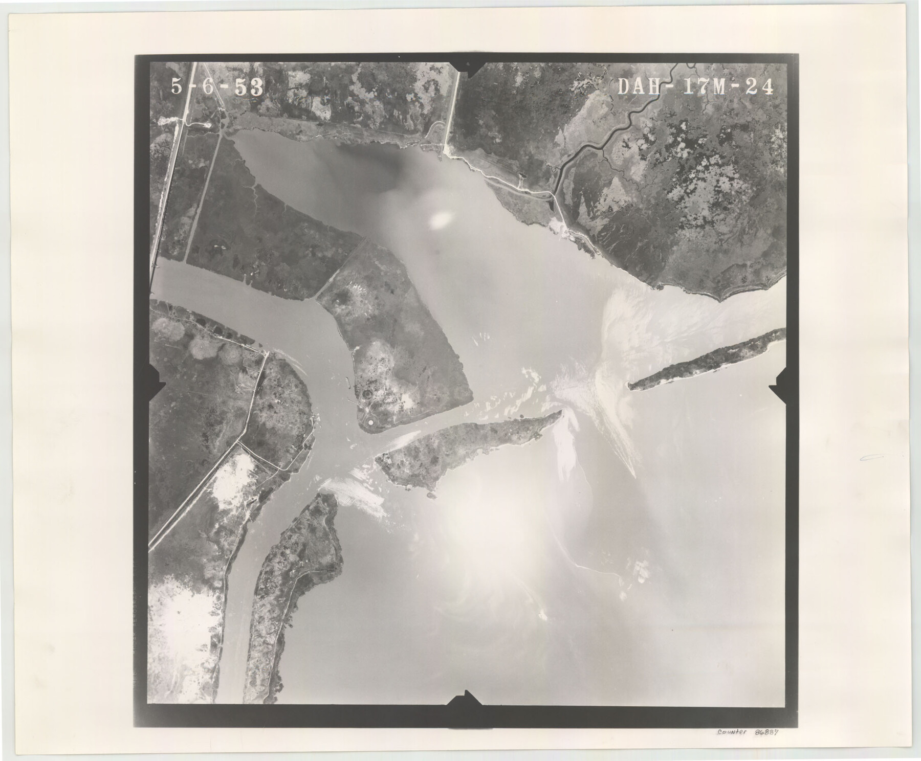
Flight Mission No. DAH-17M, Frame 24, Orange County
DAH-17M-24
-
Map/Doc
86887
-
Collection
General Map Collection
-
Object Dates
1953/5/6 (Creation Date)
-
People and Organizations
U. S. Department of Agriculture (Publisher)
-
Counties
Orange
-
Subjects
Aerial Photograph
-
Height x Width
18.5 x 22.4 inches
47.0 x 56.9 cm
-
Comments
Flown by Jack Ammann Photogrammetric Engineers of San Antonio, Texas.
Part of: General Map Collection
Childress County Rolled Sketch 4

Print $20.00
- Digital $50.00
Childress County Rolled Sketch 4
1891
Size 18.8 x 42.2 inches
Map/Doc 5438
Flight Mission No. BQY-15M, Frame 3, Harris County

Print $20.00
- Digital $50.00
Flight Mission No. BQY-15M, Frame 3, Harris County
1953
Size 18.7 x 22.5 inches
Map/Doc 85301
Ector County Working Sketch 19

Print $40.00
- Digital $50.00
Ector County Working Sketch 19
1958
Size 65.8 x 37.6 inches
Map/Doc 68862
Denton County Rolled Sketch 2

Print $40.00
- Digital $50.00
Denton County Rolled Sketch 2
1933
Size 47.1 x 53.5 inches
Map/Doc 8338
Pecos County Working Sketch 103

Print $40.00
- Digital $50.00
Pecos County Working Sketch 103
1971
Size 43.4 x 51.4 inches
Map/Doc 71576
Gulf of Mexico

Print $20.00
- Digital $50.00
Gulf of Mexico
1908
Size 18.3 x 28.0 inches
Map/Doc 72661
Donley County Rolled Sketch 4

Print $20.00
- Digital $50.00
Donley County Rolled Sketch 4
1972
Size 16.0 x 17.4 inches
Map/Doc 5731
Presidio County Working Sketch 35

Print $20.00
- Digital $50.00
Presidio County Working Sketch 35
1947
Size 25.7 x 47.3 inches
Map/Doc 71712
[Copy of a portion of] The Coast & Bays of Western Texas, St. Joseph's and Mustang Islands from Actual Survey, the Remainder from County Maps, Etc.
![72769, [Copy of a portion of] The Coast & Bays of Western Texas, St. Joseph's and Mustang Islands from Actual Survey, the Remainder from County Maps, Etc., General Map Collection](https://historictexasmaps.com/wmedia_w700/maps/72769.tif.jpg)
Print $20.00
- Digital $50.00
[Copy of a portion of] The Coast & Bays of Western Texas, St. Joseph's and Mustang Islands from Actual Survey, the Remainder from County Maps, Etc.
1857
Size 25.9 x 18.3 inches
Map/Doc 72769
Flight Mission No. DAG-22K, Frame 83, Matagorda County

Print $20.00
- Digital $50.00
Flight Mission No. DAG-22K, Frame 83, Matagorda County
1953
Size 18.5 x 18.7 inches
Map/Doc 86467
Sabine Bank to East Bay including Heald Bank

Print $20.00
- Digital $50.00
Sabine Bank to East Bay including Heald Bank
1976
Size 45.0 x 34.5 inches
Map/Doc 69851
Flight Mission No. DAG-18K, Frame 69, Matagorda County

Print $20.00
- Digital $50.00
Flight Mission No. DAG-18K, Frame 69, Matagorda County
1952
Size 16.3 x 16.2 inches
Map/Doc 86362
You may also like
Sherman County Rolled Sketch 13

Print $20.00
- Digital $50.00
Sherman County Rolled Sketch 13
1951
Size 13.9 x 30.5 inches
Map/Doc 7790
Presidio County Working Sketch 60

Print $20.00
- Digital $50.00
Presidio County Working Sketch 60
1957
Size 21.9 x 18.4 inches
Map/Doc 71737
Galveston County Sketch File 17

Print $2.00
- Digital $50.00
Galveston County Sketch File 17
1893
Size 10.5 x 8.9 inches
Map/Doc 23387
Wichita County Working Sketch 2

Print $20.00
- Digital $50.00
Wichita County Working Sketch 2
1913
Size 20.0 x 18.7 inches
Map/Doc 72511
[Sketch for Mineral Application 27669 - Trinity River, Frank R. Graves]
![2860, [Sketch for Mineral Application 27669 - Trinity River, Frank R. Graves], General Map Collection](https://historictexasmaps.com/wmedia_w700/maps/2860-1.tif.jpg)
Print $20.00
- Digital $50.00
[Sketch for Mineral Application 27669 - Trinity River, Frank R. Graves]
1934
Size 27.4 x 42.7 inches
Map/Doc 2860
Harris County Sketch File 13

Print $40.00
- Digital $50.00
Harris County Sketch File 13
Size 14.4 x 12.2 inches
Map/Doc 25355

Bowie County Working Sketch 14

Print $20.00
- Digital $50.00
Bowie County Working Sketch 14
1959
Size 25.7 x 43.2 inches
Map/Doc 67418
Gillespie County Sketch File 9

Print $4.00
- Digital $50.00
Gillespie County Sketch File 9
1873
Size 8.2 x 10.5 inches
Map/Doc 24145
Fractional Township No. 7 South Range No. 1 West of the Indian Meridian, Indian Territory

Print $4.00
- Digital $50.00
Fractional Township No. 7 South Range No. 1 West of the Indian Meridian, Indian Territory
1898
Size 18.1 x 22.4 inches
Map/Doc 75145
Intracoastal Waterway in Texas - Corpus Christi to Point Isabel including Arroyo Colorado to Mo. Pac. R.R. Bridge Near Harlingen

Print $20.00
- Digital $50.00
Intracoastal Waterway in Texas - Corpus Christi to Point Isabel including Arroyo Colorado to Mo. Pac. R.R. Bridge Near Harlingen
1933
Size 28.1 x 41.2 inches
Map/Doc 61845
Map of Bastrop County, Texas

Print $20.00
- Digital $50.00
Map of Bastrop County, Texas
1879
Size 25.2 x 23.3 inches
Map/Doc 693