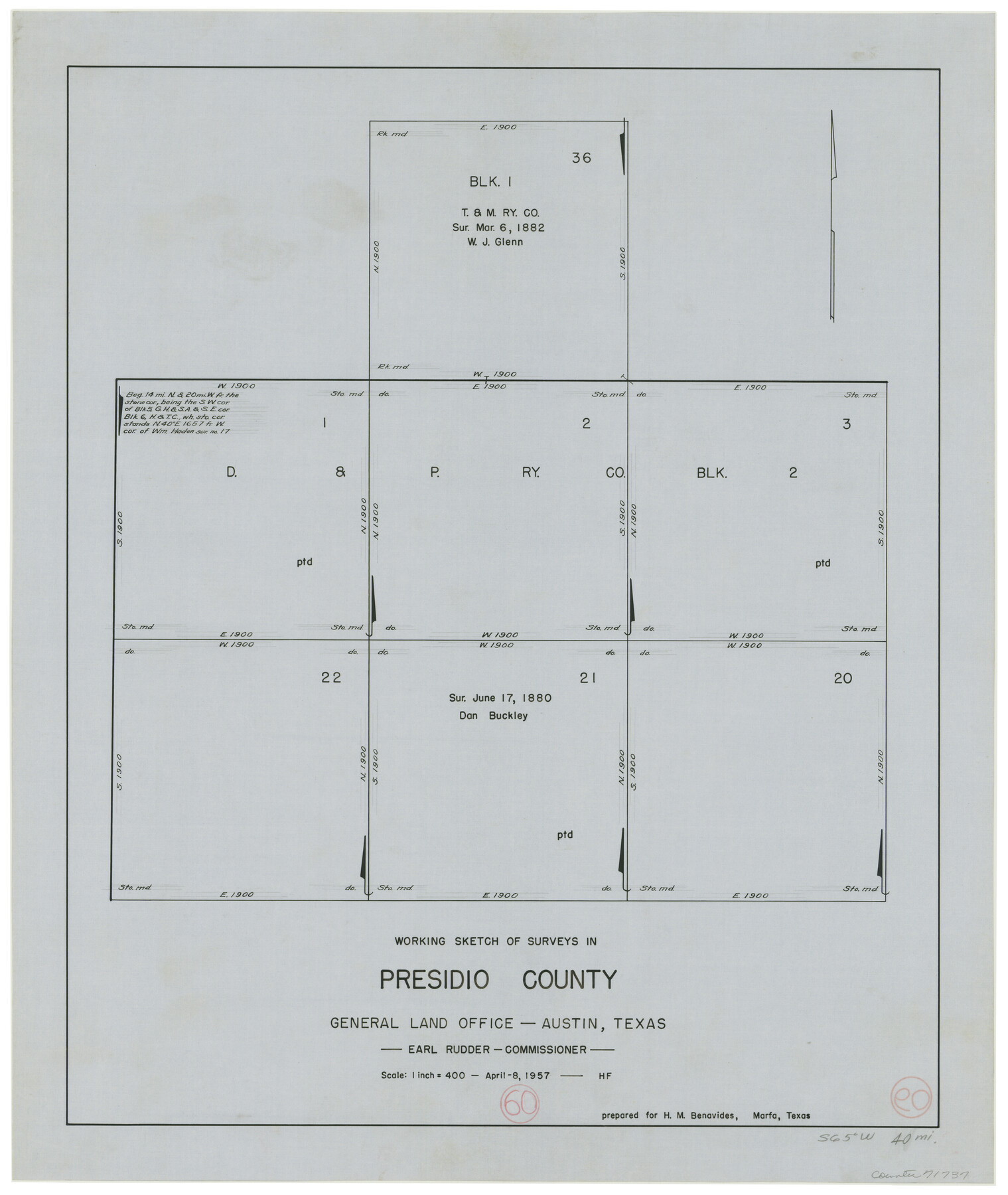
Presidio County Working Sketch 60
-
Map/Doc
71737
-
Collection
General Map Collection
-
Object Dates
4/8/1957 (Creation Date)
-
People and Organizations
Herman Forbes (Draftsman)
-
Counties
Presidio
-
Subjects
Surveying Working Sketch
-
Height x Width
21.9 x 18.4 inches
55.6 x 46.7 cm
-
Scale
1" = 400 varas
Part of: General Map Collection
Coryell County Working Sketch 31

Print $4.00
- Digital $50.00
Coryell County Working Sketch 31
2008
Size 21.8 x 20.6 inches
Map/Doc 88735
Flight Mission No. CRE-1R, Frame 63, Jackson County

Print $20.00
- Digital $50.00
Flight Mission No. CRE-1R, Frame 63, Jackson County
1956
Size 18.6 x 18.9 inches
Map/Doc 85326
Flight Mission No. BRA-16M, Frame 173, Jefferson County

Print $20.00
- Digital $50.00
Flight Mission No. BRA-16M, Frame 173, Jefferson County
1953
Size 18.5 x 22.2 inches
Map/Doc 85771
Houston Ship Channel, Alexander Island to Carpenter Bayou

Print $20.00
- Digital $50.00
Houston Ship Channel, Alexander Island to Carpenter Bayou
1971
Size 35.1 x 46.7 inches
Map/Doc 69907
Index sheet to accompany map of survey for connecting the inland waters along margin of the Gulf of Mexico from Donaldsonville in Louisiana to the Rio Grande River in Texas

Print $20.00
- Digital $50.00
Index sheet to accompany map of survey for connecting the inland waters along margin of the Gulf of Mexico from Donaldsonville in Louisiana to the Rio Grande River in Texas
1873
Size 18.2 x 28.1 inches
Map/Doc 72692
Galveston County NRC Article 33.136 Sketch 70

Print $24.00
- Digital $50.00
Galveston County NRC Article 33.136 Sketch 70
2012
Size 24.0 x 24.3 inches
Map/Doc 95111
Montague County Sketch File 12

Print $4.00
- Digital $50.00
Montague County Sketch File 12
Size 11.4 x 8.2 inches
Map/Doc 31736

Hutchinson County

Print $20.00
- Digital $50.00
Hutchinson County
1922
Size 45.6 x 38.8 inches
Map/Doc 1863

[Center Line of the Texas and Pacific Railroad Company 16 Mile Reserve]
![3125, [Center Line of the Texas and Pacific Railroad Company 16 Mile Reserve], General Map Collection](https://historictexasmaps.com/wmedia_w700/maps/3125-1.tif.jpg)
Print $40.00
- Digital $50.00
[Center Line of the Texas and Pacific Railroad Company 16 Mile Reserve]
1876
Size 43.1 x 55.6 inches
Map/Doc 3125
Gaines County Rolled Sketch 33

Print $20.00
- Digital $50.00
Gaines County Rolled Sketch 33
1995
Size 17.4 x 18.2 inches
Map/Doc 76413
You may also like
Map of Chicago, Rock Island & Texas Railway through Wise and Tarrant County, Texas

Print $40.00
- Digital $50.00
Map of Chicago, Rock Island & Texas Railway through Wise and Tarrant County, Texas
1893
Size 19.4 x 121.0 inches
Map/Doc 64428
Webb County Rolled Sketch 62

Print $20.00
- Digital $50.00
Webb County Rolled Sketch 62
1947
Size 25.2 x 27.4 inches
Map/Doc 8212
T. L. Morris Farm Rt. 6

Print $20.00
- Digital $50.00
T. L. Morris Farm Rt. 6
Size 16.3 x 13.2 inches
Map/Doc 92341
Wood County Rolled Sketch 1

Print $40.00
- Digital $50.00
Wood County Rolled Sketch 1
1941
Size 53.2 x 43.8 inches
Map/Doc 10159
Flight Mission No. DQO-1K, Frame 116, Galveston County

Print $20.00
- Digital $50.00
Flight Mission No. DQO-1K, Frame 116, Galveston County
1952
Size 18.8 x 22.6 inches
Map/Doc 84994
Part of Garza, Crosby, Lynn, and Lubbock Counties

Print $20.00
- Digital $50.00
Part of Garza, Crosby, Lynn, and Lubbock Counties
Size 25.3 x 20.2 inches
Map/Doc 91300
[William Steele Survey near Copano Bay]
![60284, [William Steele Survey near Copano Bay], General Map Collection](https://historictexasmaps.com/wmedia_w700/maps/60284-1.tif.jpg)
Print $3.00
- Digital $50.00
[William Steele Survey near Copano Bay]
1927
Size 15.5 x 9.5 inches
Map/Doc 60284
Travis County Working Sketch 3

Print $20.00
- Digital $50.00
Travis County Working Sketch 3
1906
Size 19.5 x 15.0 inches
Map/Doc 69387
Dimmit County Boundary File 4

Print $14.00
- Digital $50.00
Dimmit County Boundary File 4
Size 14.1 x 8.8 inches
Map/Doc 52570
Kimble County Working Sketch 93

Print $20.00
- Digital $50.00
Kimble County Working Sketch 93
1983
Size 31.5 x 37.8 inches
Map/Doc 70161
Sutton County Sketch File JAC (1)

Print $6.00
- Digital $50.00
Sutton County Sketch File JAC (1)
1937
Size 14.3 x 8.8 inches
Map/Doc 37502
Karnes County Working Sketch 1

Print $20.00
- Digital $50.00
Karnes County Working Sketch 1
1933
Size 19.4 x 15.3 inches
Map/Doc 66649