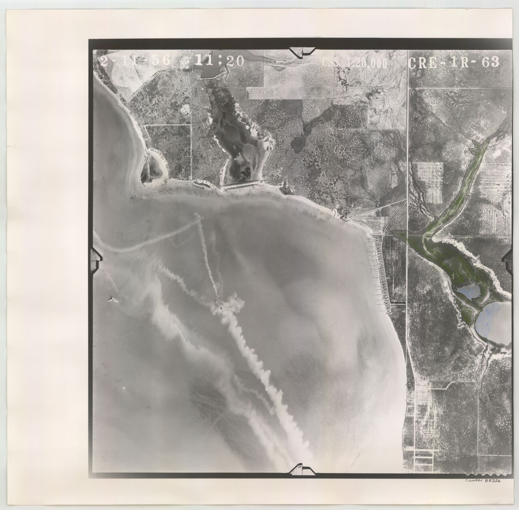
Flight Mission No. CRE-1R, Frame 63, Jackson County
CRE-1R-63
-
Map/Doc
85326
-
Collection
General Map Collection
-
Object Dates
1956/2/11 (Creation Date)
-
People and Organizations
U. S. Department of Agriculture (Publisher)
-
Counties
Jackson
-
Subjects
Aerial Photograph
-
Height x Width
18.6 x 18.9 inches
47.2 x 48.0 cm
-
Comments
Flown by Jack Ammann Photogrammetric Engineers of San Antonio, Texas.
Part of: General Map Collection
Leon County Working Sketch 56

Print $20.00
- Digital $50.00
Leon County Working Sketch 56
1991
Size 32.7 x 26.4 inches
Map/Doc 70456
Flight Mission No. CLL-1N, Frame 81, Willacy County

Print $20.00
- Digital $50.00
Flight Mission No. CLL-1N, Frame 81, Willacy County
1954
Size 18.3 x 22.1 inches
Map/Doc 87027
Topographical Map of the Rio Grande from Roma to the Gulf of Mexico, Index Map, Sheet No. 2

Print $20.00
- Digital $50.00
Topographical Map of the Rio Grande from Roma to the Gulf of Mexico, Index Map, Sheet No. 2
1912
Map/Doc 89524
Upton County Rolled Sketch JSP

Print $40.00
- Digital $50.00
Upton County Rolled Sketch JSP
1937
Size 39.2 x 68.0 inches
Map/Doc 10042
Map of the Fort Worth and Denver City Railway

Print $40.00
- Digital $50.00
Map of the Fort Worth and Denver City Railway
1873
Size 31.6 x 90.3 inches
Map/Doc 64778
Texas Coast, No. 17

Print $20.00
- Digital $50.00
Texas Coast, No. 17
Size 18.3 x 27.6 inches
Map/Doc 72712
Sketch I: Showing the Progress of the Survey in Section No. 9 [Galveston Bay]
![97133, Sketch I: Showing the Progress of the Survey in Section No. 9 [Galveston Bay], General Map Collection](https://historictexasmaps.com/wmedia_w700/maps/97133.tif.jpg)
Print $20.00
- Digital $50.00
Sketch I: Showing the Progress of the Survey in Section No. 9 [Galveston Bay]
1852
Size 9.4 x 13.4 inches
Map/Doc 97133
Map of Fannin County

Print $20.00
- Digital $50.00
Map of Fannin County
1866
Size 21.9 x 18.1 inches
Map/Doc 3534
Flight Mission No. BQY-4M, Frame 39, Harris County

Print $20.00
- Digital $50.00
Flight Mission No. BQY-4M, Frame 39, Harris County
1953
Size 18.6 x 22.3 inches
Map/Doc 85254
Map of Coleman County

Print $20.00
- Digital $50.00
Map of Coleman County
1878
Size 23.9 x 20.3 inches
Map/Doc 3412
Tom Green County Sketch File 14

Print $20.00
- Digital $50.00
Tom Green County Sketch File 14
Size 34.8 x 45.7 inches
Map/Doc 10401
Harris County Boundary File 1

Print $6.00
- Digital $50.00
Harris County Boundary File 1
1963
Size 9.2 x 11.2 inches
Map/Doc 54292
You may also like
Terrell County Working Sketch 53

Print $20.00
- Digital $50.00
Terrell County Working Sketch 53
Size 13.5 x 17.8 inches
Map/Doc 69802
King County Rolled Sketch 9

Print $20.00
- Digital $50.00
King County Rolled Sketch 9
Size 25.9 x 34.2 inches
Map/Doc 9350
Nautical Chart 152-SC - Galveston Bay, Texas

Print $20.00
- Digital $50.00
Nautical Chart 152-SC - Galveston Bay, Texas
1972
Size 15.5 x 33.2 inches
Map/Doc 69890
Pecos County Sketch File 32

Print $20.00
- Digital $50.00
Pecos County Sketch File 32
1934
Size 23.2 x 24.3 inches
Map/Doc 12175
Wichita County Rolled Sketch 16

Print $20.00
- Digital $50.00
Wichita County Rolled Sketch 16
1940
Size 36.5 x 35.0 inches
Map/Doc 10658
Ashburn's 1951 Austin City Map

Ashburn's 1951 Austin City Map
1951
Size 22.5 x 17.4 inches
Map/Doc 97142
The Chief Justice County of Austin. Proposed, No Date

Print $20.00
The Chief Justice County of Austin. Proposed, No Date
2020
Size 16.7 x 21.7 inches
Map/Doc 96037
Williamson County Sketch File 12

Print $4.00
- Digital $50.00
Williamson County Sketch File 12
1860
Size 12.6 x 3.4 inches
Map/Doc 40326
Brewster County Rolled Sketch RSH

Print $20.00
- Digital $50.00
Brewster County Rolled Sketch RSH
Size 31.9 x 28.3 inches
Map/Doc 5324
Pecos County Rolled Sketch 151

Print $20.00
- Digital $50.00
Pecos County Rolled Sketch 151
Size 40.6 x 23.6 inches
Map/Doc 7281
Val Verde County Sketch File 51c

Print $6.00
- Digital $50.00
Val Verde County Sketch File 51c
1959
Size 10.9 x 16.9 inches
Map/Doc 39332
Flight Mission No. BQR-20K, Frame 13, Brazoria County

Print $20.00
- Digital $50.00
Flight Mission No. BQR-20K, Frame 13, Brazoria County
1952
Size 18.6 x 22.3 inches
Map/Doc 84115