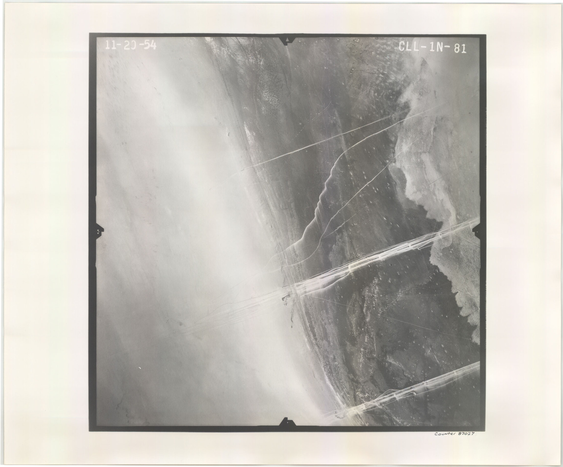
Flight Mission No. CLL-1N, Frame 81, Willacy County
CLL-1N-81
-
Map/Doc
87027
-
Collection
General Map Collection
-
Object Dates
1954/11/20 (Creation Date)
-
People and Organizations
U. S. Department of Agriculture (Publisher)
-
Counties
Willacy
-
Subjects
Aerial Photograph
-
Height x Width
18.3 x 22.1 inches
46.5 x 56.1 cm
-
Comments
Flown by Puckett Aerial Surveys, Inc. of Jackson, Mississippi.
Part of: General Map Collection
Live Oak County

Print $40.00
- Digital $50.00
Live Oak County
1899
Size 52.3 x 38.5 inches
Map/Doc 66905

McMullen County Working Sketch 32

Print $20.00
- Digital $50.00
McMullen County Working Sketch 32
1958
Size 28.2 x 32.5 inches
Map/Doc 70733

Presidio County Working Sketch 90

Print $20.00
- Digital $50.00
Presidio County Working Sketch 90
1973
Size 25.5 x 28.1 inches
Map/Doc 71767
Winkler County

Print $20.00
- Digital $50.00
Winkler County
1932
Size 39.4 x 38.7 inches
Map/Doc 73328
Morris County Rolled Sketch 2A

Print $20.00
- Digital $50.00
Morris County Rolled Sketch 2A
Size 24.2 x 19.0 inches
Map/Doc 10276


Callahan County Boundary File 1

Print $120.00
- Digital $50.00
Callahan County Boundary File 1
Size 14.2 x 8.6 inches
Map/Doc 51025

Flight Mission No. DQO-8K, Frame 78, Galveston County

Print $20.00
- Digital $50.00
Flight Mission No. DQO-8K, Frame 78, Galveston County
1952
Size 18.8 x 22.5 inches
Map/Doc 85182
You may also like
Map of the Aransas Pass Transit Railway

Print $40.00
- Digital $50.00
Map of the Aransas Pass Transit Railway
1890
Size 23.9 x 60.9 inches
Map/Doc 64369
Cochran County Boundary File 4

Print $2.00
- Digital $50.00
Cochran County Boundary File 4
Size 10.4 x 4.2 inches
Map/Doc 51555
Revised Map of MacDade, Bastrop County, Texas

Print $20.00
- Digital $50.00
Revised Map of MacDade, Bastrop County, Texas
Size 26.6 x 18.4 inches
Map/Doc 78478
Gregg County Working Sketch 3

Print $20.00
- Digital $50.00
Gregg County Working Sketch 3
1931
Size 18.6 x 14.2 inches
Map/Doc 63269
Flight Mission No. DQO-3K, Frame 82, Galveston County

Print $20.00
- Digital $50.00
Flight Mission No. DQO-3K, Frame 82, Galveston County
1952
Size 18.7 x 22.5 inches
Map/Doc 85087
Hardeman County Sketch File 11

Print $42.00
- Digital $50.00
Hardeman County Sketch File 11
Size 9.2 x 9.1 inches
Map/Doc 25008
Cochran County Sketch [showing lines run by C. A. Tubbs]
![90435, Cochran County Sketch [showing lines run by C. A. Tubbs], Twichell Survey Records](https://historictexasmaps.com/wmedia_w700/maps/90435-1.tif.jpg)
Print $20.00
- Digital $50.00
Cochran County Sketch [showing lines run by C. A. Tubbs]
Size 10.0 x 23.8 inches
Map/Doc 90435
Correct Map of Texas

Print $20.00
- Digital $50.00
Correct Map of Texas
1904
Size 17.9 x 22.3 inches
Map/Doc 95768
[Gulf Colorado & Santa Fe from 2178+36.0 to 3901+06.2]
![64699, [Gulf Colorado & Santa Fe from 2178+36.0 to 3901+06.2], General Map Collection](https://historictexasmaps.com/wmedia_w700/maps/64699.tif.jpg)
Print $40.00
- Digital $50.00
[Gulf Colorado & Santa Fe from 2178+36.0 to 3901+06.2]
Size 31.9 x 58.9 inches
Map/Doc 64699
[Office Sketch of Jesse McGee survey in Sabine and Newton Counties]
![543, [Office Sketch of Jesse McGee survey in Sabine and Newton Counties], Maddox Collection](https://historictexasmaps.com/wmedia_w700/maps/543.tif.jpg)
Print $20.00
- Digital $50.00
[Office Sketch of Jesse McGee survey in Sabine and Newton Counties]
1910
Size 13.4 x 15.1 inches
Map/Doc 543
Qvarte Partie Dv Monde

Print $20.00
- Digital $50.00
Qvarte Partie Dv Monde
1575
Size 15.3 x 18.9 inches
Map/Doc 93806
Nueces County Rolled Sketch 133

Print $26.00
Nueces County Rolled Sketch 133
2001
Size 24.8 x 36.8 inches
Map/Doc 7168