Brewster County Rolled Sketch RSH
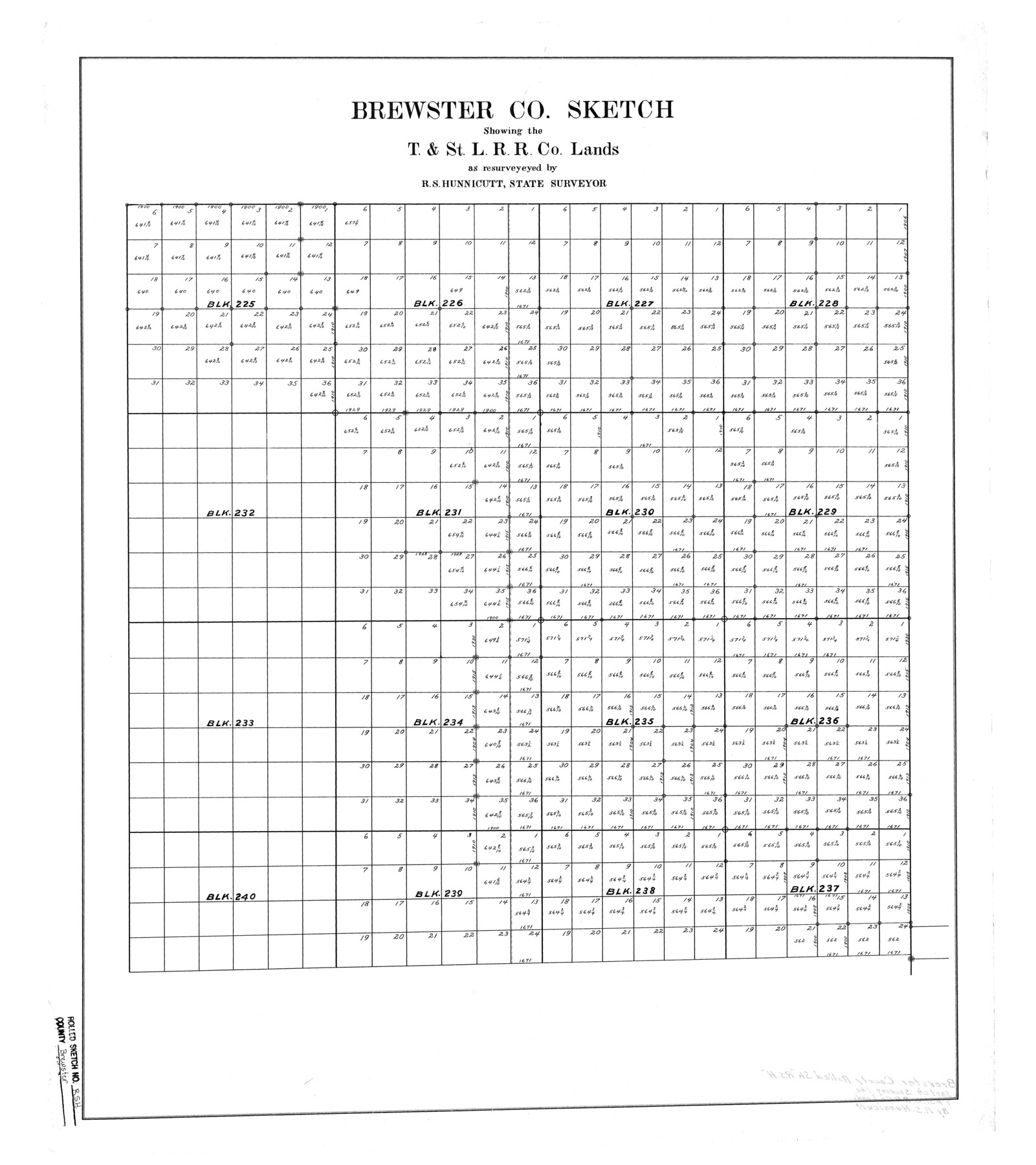
Brewster Co. Sketch showing the T. & St. L. R.R. Co. lands as resurveyed by R.S. Hunnicutt, State Surveyor
-
Map/Doc
5324
-
Collection
General Map Collection
-
People and Organizations
R.S. Hunnicutt (Surveyor/Engineer)
-
Counties
Brewster
-
Subjects
Surveying Rolled Sketch
-
Height x Width
31.9 x 28.3 inches
81.0 x 71.9 cm
Part of: General Map Collection
Montague County Working Sketch 10

Print $20.00
- Digital $50.00
Montague County Working Sketch 10
1940
Size 13.1 x 28.2 inches
Map/Doc 71076
Frio County Rolled Sketch 6

Print $20.00
- Digital $50.00
Frio County Rolled Sketch 6
1938
Size 42.7 x 32.6 inches
Map/Doc 76019
Wichita County Rolled Sketch 11

Print $20.00
- Digital $50.00
Wichita County Rolled Sketch 11
Size 20.8 x 18.6 inches
Map/Doc 8248
Brown County Sketch File 3

Print $2.00
- Digital $50.00
Brown County Sketch File 3
Size 8.3 x 5.9 inches
Map/Doc 16584
Hill County Sketch File 17

Print $4.00
- Digital $50.00
Hill County Sketch File 17
1860
Size 12.5 x 8.3 inches
Map/Doc 26484
Brewster County Sketch File NS-13

Print $4.00
- Digital $50.00
Brewster County Sketch File NS-13
1955
Size 11.1 x 8.8 inches
Map/Doc 16220
[Bastrop District]
![83518, [Bastrop District], General Map Collection](https://historictexasmaps.com/wmedia_w700/maps/83518-1.tif.jpg)
Print $20.00
- Digital $50.00
[Bastrop District]
1838
Size 19.5 x 44.2 inches
Map/Doc 83518
DeWitt County

Print $40.00
- Digital $50.00
DeWitt County
1987
Size 42.1 x 50.6 inches
Map/Doc 95481
Edwards County Rolled Sketch JFW

Print $20.00
- Digital $50.00
Edwards County Rolled Sketch JFW
1936
Size 39.5 x 39.4 inches
Map/Doc 8843
Coryell County Sketch File 23

Print $24.00
- Digital $50.00
Coryell County Sketch File 23
1948
Size 11.2 x 8.8 inches
Map/Doc 19387
Roberts County Working Sketch 35

Print $20.00
- Digital $50.00
Roberts County Working Sketch 35
1978
Size 26.7 x 22.5 inches
Map/Doc 63561
Morris County Working Sketch 4

Print $20.00
- Digital $50.00
Morris County Working Sketch 4
1959
Size 35.2 x 23.8 inches
Map/Doc 71203
You may also like
Crockett County Rolled Sketch 83

Print $20.00
- Digital $50.00
Crockett County Rolled Sketch 83
1960
Size 22.6 x 15.2 inches
Map/Doc 5623
Flight Mission No. CGI-3N, Frame 78, Cameron County

Print $20.00
- Digital $50.00
Flight Mission No. CGI-3N, Frame 78, Cameron County
1954
Size 18.6 x 22.3 inches
Map/Doc 84572
Duval County Rolled Sketch 33A

Print $40.00
- Digital $50.00
Duval County Rolled Sketch 33A
1949
Size 43.8 x 79.5 inches
Map/Doc 8818
Sutton County Working Sketch 12

Print $40.00
- Digital $50.00
Sutton County Working Sketch 12
1972
Size 66.8 x 37.3 inches
Map/Doc 62355
Flight Mission No. DAG-23K, Frame 146, Matagorda County

Print $20.00
- Digital $50.00
Flight Mission No. DAG-23K, Frame 146, Matagorda County
1953
Size 17.0 x 22.4 inches
Map/Doc 86494
[Surveys along San Cristoval Creek]
![300, [Surveys along San Cristoval Creek], General Map Collection](https://historictexasmaps.com/wmedia_w700/maps/300.tif.jpg)
Print $2.00
- Digital $50.00
[Surveys along San Cristoval Creek]
1842
Size 9.0 x 9.3 inches
Map/Doc 300
Jackson County Rolled Sketch 14

Print $20.00
- Digital $50.00
Jackson County Rolled Sketch 14
1978
Size 28.3 x 37.0 inches
Map/Doc 6345
San Patricio County NRC Article 33.136 Sketch 10

Print $692.00
San Patricio County NRC Article 33.136 Sketch 10
2023
Map/Doc 97294
Crockett County Working Sketch 89

Print $20.00
- Digital $50.00
Crockett County Working Sketch 89
1978
Size 36.4 x 44.5 inches
Map/Doc 68422
Flight Mission No. CGI-3N, Frame 161, Cameron County

Print $20.00
- Digital $50.00
Flight Mission No. CGI-3N, Frame 161, Cameron County
1954
Size 18.7 x 22.4 inches
Map/Doc 84625
[B. S. & F. Block 9]
![91814, [B. S. & F. Block 9], Twichell Survey Records](https://historictexasmaps.com/wmedia_w700/maps/91814-1.tif.jpg)
Print $20.00
- Digital $50.00
[B. S. & F. Block 9]
Size 25.1 x 35.7 inches
Map/Doc 91814
Val Verde County Rolled Sketch 52

Print $20.00
- Digital $50.00
Val Verde County Rolled Sketch 52
1937
Size 31.8 x 23.0 inches
Map/Doc 8121