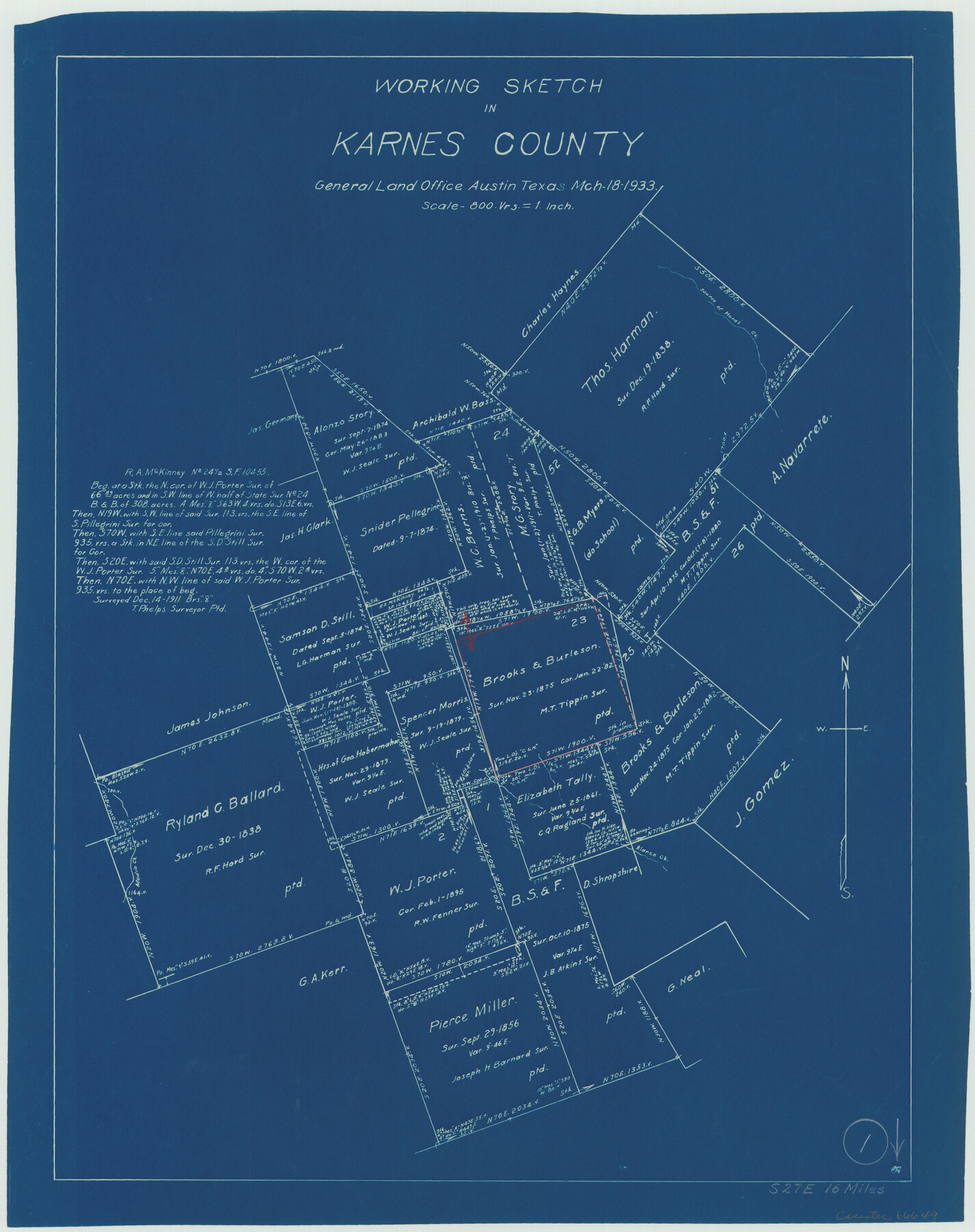
Karnes County Working Sketch 1
-
Map/Doc
66649
-
Collection
General Map Collection
-
Object Dates
3/18/1933 (Creation Date)
-
Counties
Karnes
-
Subjects
Surveying Working Sketch
-
Height x Width
19.4 x 15.3 inches
49.3 x 38.9 cm
-
Scale
1" = 800 varas
Part of: General Map Collection
Newton County Sketch File 4c

Print $4.00
- Digital $50.00
Newton County Sketch File 4c
Size 7.4 x 8.2 inches
Map/Doc 32366
Brown County Working Sketch 15

Print $20.00
- Digital $50.00
Brown County Working Sketch 15
1989
Size 23.6 x 16.7 inches
Map/Doc 67780
Aransas County Sketch File 30

Print $74.00
- Digital $50.00
Aransas County Sketch File 30
Size 14.2 x 8.7 inches
Map/Doc 13237
Brazoria County Sketch File 51

Print $380.00
- Digital $50.00
Brazoria County Sketch File 51
1926
Size 14.1 x 7.8 inches
Map/Doc 15125
Ward County Rolled Sketch 1

Print $20.00
- Digital $50.00
Ward County Rolled Sketch 1
1888
Size 41.7 x 11.6 inches
Map/Doc 76166
El Paso County Working Sketch 5

Print $20.00
- Digital $50.00
El Paso County Working Sketch 5
1916
Size 21.5 x 37.2 inches
Map/Doc 69027
Dallas County Sketch File 25

Print $20.00
- Digital $50.00
Dallas County Sketch File 25
Size 14.9 x 14.6 inches
Map/Doc 11288
Harris County Rolled Sketch 88

Print $20.00
- Digital $50.00
Harris County Rolled Sketch 88
1935
Size 34.4 x 23.0 inches
Map/Doc 6121
Location Survey of the Southern Kansas Railway, Kiowa Extension from a point in Drake's Location, in Indian Territory 100 miles from south line of Kansas, continuing up Wolf Creek and South Canadian River to Cottonwood Creek in Hutchinson County

Print $40.00
- Digital $50.00
Location Survey of the Southern Kansas Railway, Kiowa Extension from a point in Drake's Location, in Indian Territory 100 miles from south line of Kansas, continuing up Wolf Creek and South Canadian River to Cottonwood Creek in Hutchinson County
1886
Size 37.5 x 282.7 inches
Map/Doc 88837
Hudspeth County Rolled Sketch 43A

Print $3.00
- Digital $50.00
Hudspeth County Rolled Sketch 43A
1958
Size 10.7 x 8.8 inches
Map/Doc 6252
Crosby County Sketch File 12a

Print $20.00
- Digital $50.00
Crosby County Sketch File 12a
1901
Size 21.5 x 30.9 inches
Map/Doc 11248
Rio Grande, McAllen Sheet

Print $20.00
- Digital $50.00
Rio Grande, McAllen Sheet
1937
Size 37.4 x 37.5 inches
Map/Doc 65118
You may also like
The Republic County of Rusk. Created, January 16, 1843

Print $20.00
The Republic County of Rusk. Created, January 16, 1843
2020
Size 19.1 x 21.7 inches
Map/Doc 96265
Galveston County Sketch File 15

Print $4.00
- Digital $50.00
Galveston County Sketch File 15
Size 6.7 x 3.7 inches
Map/Doc 23382
Hardeman County Boundary File 3

Print $18.00
- Digital $50.00
Hardeman County Boundary File 3
Size 14.1 x 8.8 inches
Map/Doc 54375
Map of Denton County

Print $20.00
- Digital $50.00
Map of Denton County
1877
Size 20.7 x 18.6 inches
Map/Doc 3475
Brewster County Boundary File 2

Print $40.00
- Digital $50.00
Brewster County Boundary File 2
Size 14.0 x 16.3 inches
Map/Doc 50756
Morris County Rolled Sketch 2A

Print $20.00
- Digital $50.00
Morris County Rolled Sketch 2A
Size 24.3 x 19.1 inches
Map/Doc 10241
Terrell County Working Sketch 2

Print $20.00
- Digital $50.00
Terrell County Working Sketch 2
1908
Size 19.8 x 24.2 inches
Map/Doc 62150
Duval County Boundary File 3g

Print $4.00
- Digital $50.00
Duval County Boundary File 3g
Size 9.9 x 7.8 inches
Map/Doc 52747
Moore County Sketch File 13

Print $24.00
- Digital $50.00
Moore County Sketch File 13
1919
Size 7.0 x 8.7 inches
Map/Doc 31949
Galveston County Rolled Sketch 45B

Print $20.00
- Digital $50.00
Galveston County Rolled Sketch 45B
1995
Size 19.8 x 29.7 inches
Map/Doc 5980
Mills County Boundary File Index

Print $2.00
- Digital $50.00
Mills County Boundary File Index
Size 8.8 x 8.9 inches
Map/Doc 57258
Map of Dallas, Tarrant and part of Ellis County and Peters Colony

Print $20.00
- Digital $50.00
Map of Dallas, Tarrant and part of Ellis County and Peters Colony
1853
Size 25.8 x 32.0 inches
Map/Doc 1970