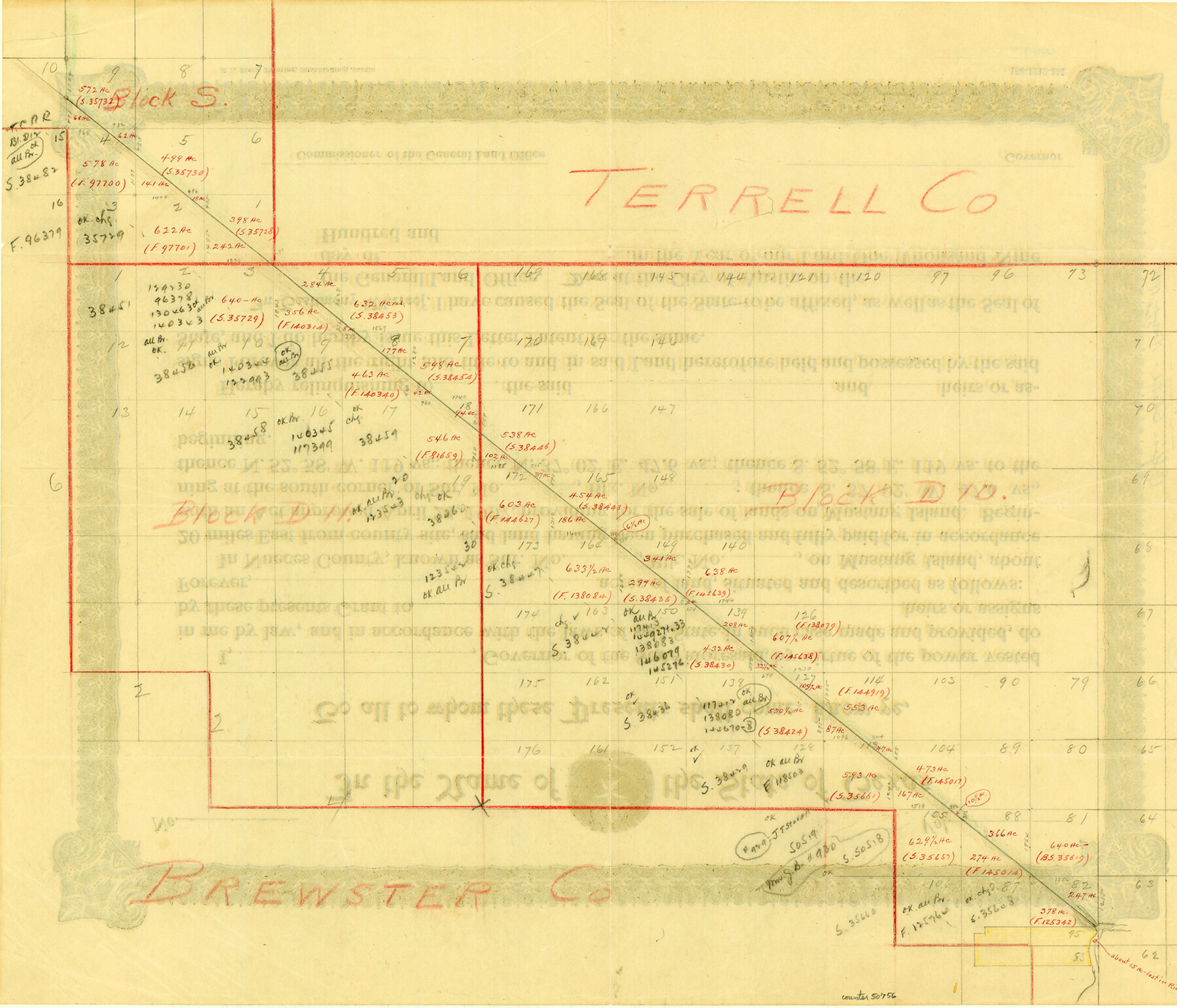
Brewster County Boundary File 2
Brewster-Terrell County Line
-
Map/Doc
50756
-
Collection
General Map Collection
-
Counties
Brewster
-
Subjects
County Boundaries
-
Height x Width
14.0 x 16.3 inches
35.6 x 41.4 cm
Part of: General Map Collection
Flight Mission No. BRA-16M, Frame 149, Jefferson County

Print $20.00
- Digital $50.00
Flight Mission No. BRA-16M, Frame 149, Jefferson County
1953
Size 18.6 x 22.3 inches
Map/Doc 85755
Archer County Sketch File 16

Print $6.00
- Digital $50.00
Archer County Sketch File 16
1889
Size 12.8 x 8.3 inches
Map/Doc 13650
Runnels County Sketch File 8

Print $40.00
Runnels County Sketch File 8
Size 37.9 x 37.5 inches
Map/Doc 10591
Dallas County Working Sketch 5

Print $20.00
- Digital $50.00
Dallas County Working Sketch 5
1941
Size 18.7 x 16.4 inches
Map/Doc 68571
Hemphill County Working Sketch 2

Print $20.00
- Digital $50.00
Hemphill County Working Sketch 2
1926
Size 29.0 x 31.1 inches
Map/Doc 66097
Jefferson County Rolled Sketch GA

Print $20.00
- Digital $50.00
Jefferson County Rolled Sketch GA
1937
Size 29.5 x 36.7 inches
Map/Doc 6437
Flight Mission No. CGI-1N, Frame 141, Cameron County

Print $20.00
- Digital $50.00
Flight Mission No. CGI-1N, Frame 141, Cameron County
1955
Size 18.5 x 22.2 inches
Map/Doc 84497
Upton County Working Sketch 15

Print $40.00
- Digital $50.00
Upton County Working Sketch 15
1940
Size 28.4 x 48.6 inches
Map/Doc 69511
Hutchinson County Sketch File 21

Print $22.00
- Digital $50.00
Hutchinson County Sketch File 21
Size 8.8 x 7.9 inches
Map/Doc 27242
Maps of Gulf Intracoastal Waterway, Texas - Sabine River to the Rio Grande and connecting waterways including ship channels

Print $20.00
- Digital $50.00
Maps of Gulf Intracoastal Waterway, Texas - Sabine River to the Rio Grande and connecting waterways including ship channels
1966
Size 14.6 x 22.4 inches
Map/Doc 61924
Encinal County

Print $20.00
- Digital $50.00
Encinal County
1895
Size 34.4 x 24.0 inches
Map/Doc 3516
Foard County Sketch File 12

Print $4.00
- Digital $50.00
Foard County Sketch File 12
1881
Size 11.0 x 8.5 inches
Map/Doc 22814
You may also like
Duval County Working Sketch 51

Print $20.00
- Digital $50.00
Duval County Working Sketch 51
1986
Size 27.3 x 35.3 inches
Map/Doc 68775

General Highway Map, Navarro County, Texas

Print $20.00
General Highway Map, Navarro County, Texas
1961
Size 19.3 x 25.0 inches
Map/Doc 79610
Cienega Ranch

Print $20.00
- Digital $50.00
Cienega Ranch
1947
Size 27.6 x 28.3 inches
Map/Doc 92323
Maverick County Sketch File 4

Print $4.00
- Digital $50.00
Maverick County Sketch File 4
1876
Size 9.1 x 8.2 inches
Map/Doc 31051
Controlled Mosaic by Jack Amman Photogrammetric Engineers, Inc - Sheet 37

Print $20.00
- Digital $50.00
Controlled Mosaic by Jack Amman Photogrammetric Engineers, Inc - Sheet 37
1954
Size 20.0 x 24.0 inches
Map/Doc 83492
King County Working Sketch 6

Print $20.00
- Digital $50.00
King County Working Sketch 6
1944
Size 11.5 x 18.3 inches
Map/Doc 70170
Knox County Rolled Sketch 16

Print $20.00
- Digital $50.00
Knox County Rolled Sketch 16
1892
Size 29.8 x 32.4 inches
Map/Doc 76029
Flight Mission No. DAG-14K, Frame 146, Matagorda County

Print $20.00
- Digital $50.00
Flight Mission No. DAG-14K, Frame 146, Matagorda County
1952
Size 18.4 x 22.2 inches
Map/Doc 86313
Smith County Rolled Sketch 2

Print $20.00
- Digital $50.00
Smith County Rolled Sketch 2
Size 36.6 x 35.5 inches
Map/Doc 75931
Donley County Sketch File 9

Print $4.00
- Digital $50.00
Donley County Sketch File 9
1884
Size 6.6 x 7.7 inches
Map/Doc 21238
Map of McClennan County

Print $20.00
- Digital $50.00
Map of McClennan County
1871
Size 18.0 x 21.7 inches
Map/Doc 3862