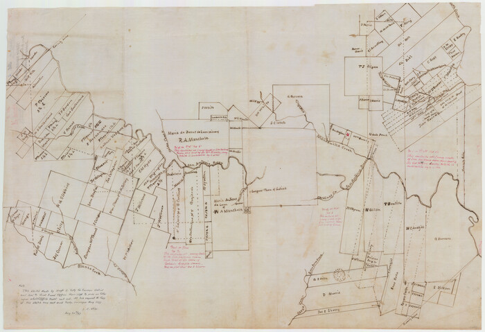
Goliad County Sketch File A
1897
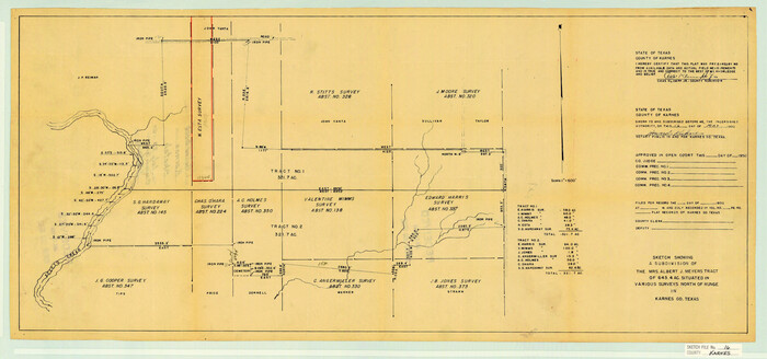
Karnes County Sketch File 16
1950

Atascosa County Sketch File 6
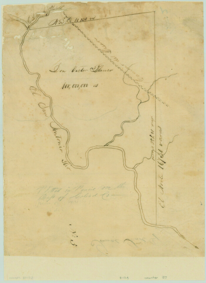
[Victor Blanco's survey along the San Antonio River]
DeWitt County Sketch File 1
1851
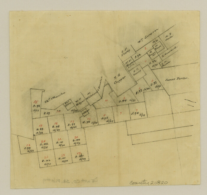
DeWitt County Sketch File 9
1878
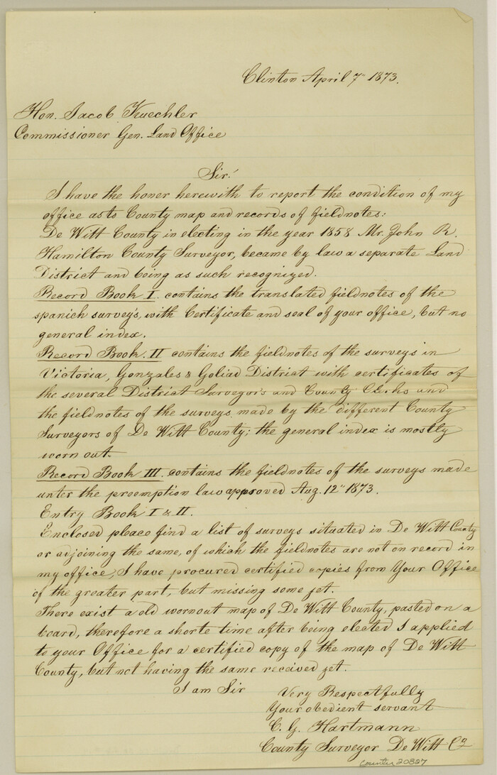
DeWitt County Sketch File 14
1873
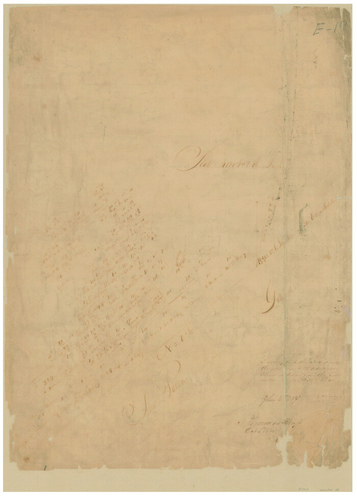
[Surveys in the Bexar District]
1841

Goliad County Sketch File 12
1857

Goliad County Sketch File 13
1856

Goliad County Sketch File 14
1878

Goliad County Sketch File 17
1851

Goliad County Sketch File 18
1854
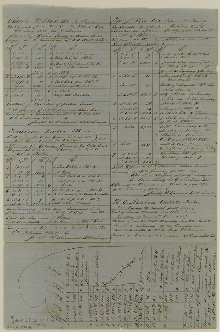
Goliad County Sketch File 21
1855

Goliad County Sketch File 24
1856

Goliad County Sketch File 26
1855

Goliad County Sketch File 26a
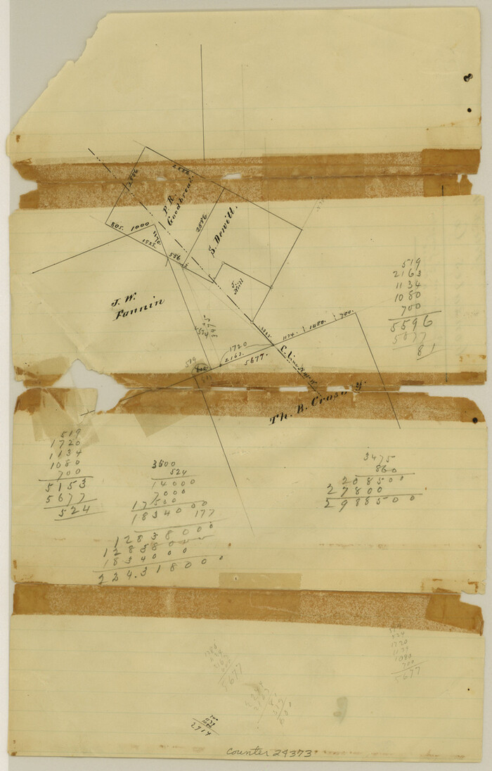
Gonzales County Sketch File 4

Karnes County Sketch File 1
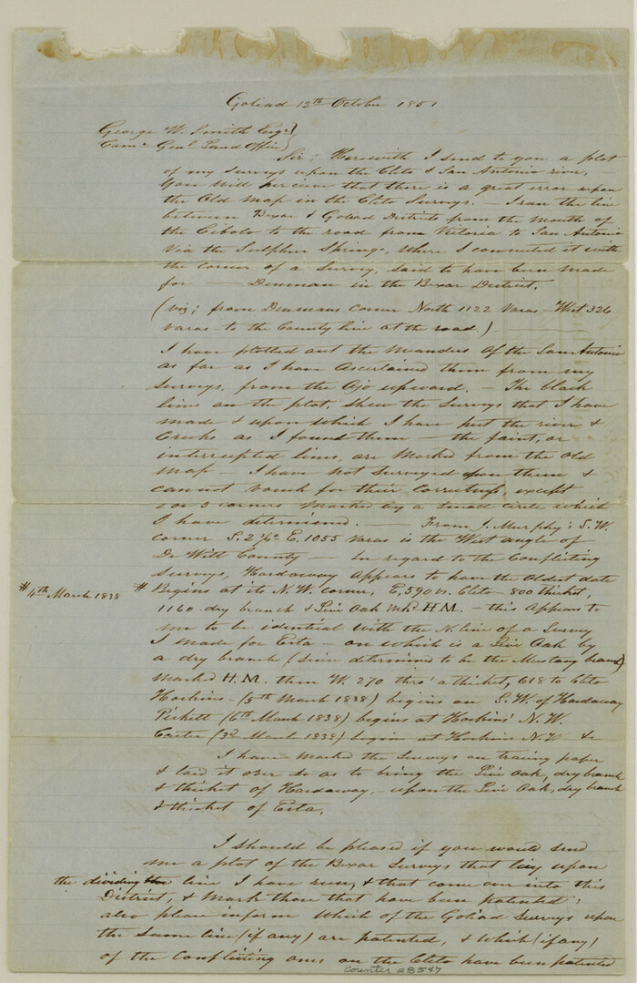
Karnes County Sketch File 2
1851

Karnes County Sketch File 4
1852
Karnes County Sketch File 5
1849

Karnes County Sketch File 6
1858
Karnes County Sketch File 7
1863
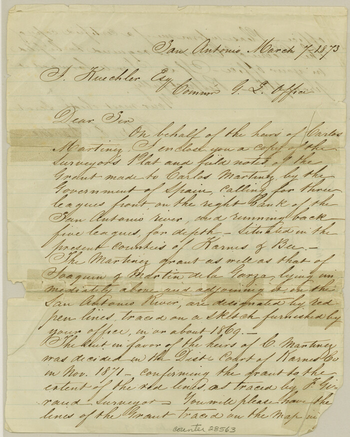
Karnes County Sketch File 7a
1873
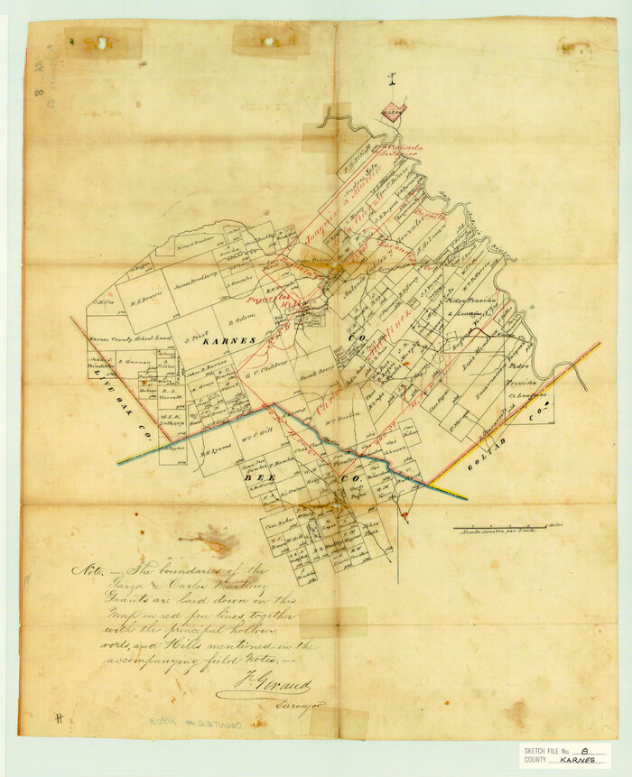
Karnes County Sketch File 8
1876

Karnes County Sketch File 9
1876
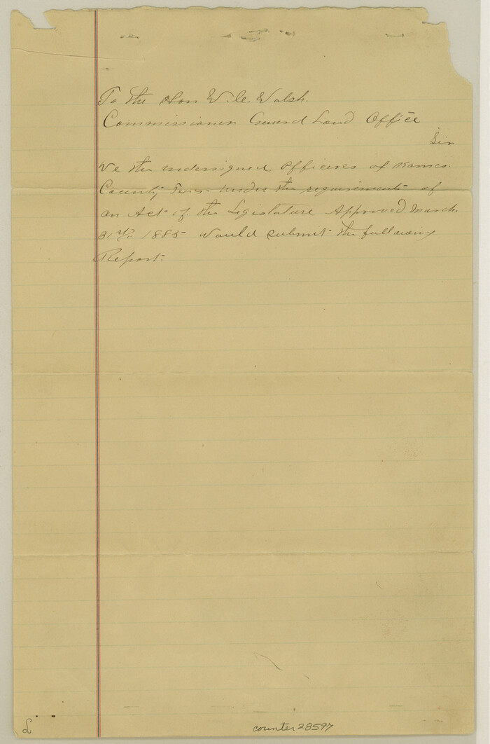
Karnes County Sketch File 10
1885

Karnes County Sketch File 11
1885

Karnes County Sketch File 12
1889

Goliad County Sketch File A
1897
-
Size
30.6 x 32.9 inches
-
Map/Doc
10465
-
Creation Date
1897

Karnes County Sketch File 16
1950
-
Size
14.4 x 30.7 inches
-
Map/Doc
11905
-
Creation Date
1950

Atascosa County Sketch File 6
-
Size
12.2 x 7.8 inches
-
Map/Doc
13752
![187, [Victor Blanco's survey along the San Antonio River], General Map Collection](https://historictexasmaps.com/wmedia_w700/maps/187.tif.jpg)
[Victor Blanco's survey along the San Antonio River]
-
Size
11.2 x 8.2 inches
-
Map/Doc
187

DeWitt County Sketch File 1
1851
-
Size
8.4 x 8.2 inches
-
Map/Doc
20794
-
Creation Date
1851

DeWitt County Sketch File 9
1878
-
Size
5.6 x 5.9 inches
-
Map/Doc
20820
-
Creation Date
1878

DeWitt County Sketch File 14
1873
-
Size
12.8 x 8.2 inches
-
Map/Doc
20827
-
Creation Date
1873
![24, [Surveys in the Bexar District], General Map Collection](https://historictexasmaps.com/wmedia_w700/maps/24-1.tif.jpg)
[Surveys in the Bexar District]
1841
-
Size
23.0 x 16.5 inches
-
Map/Doc
24
-
Creation Date
1841

Goliad County Sketch File 12
1857
-
Size
12.9 x 7.9 inches
-
Map/Doc
24230
-
Creation Date
1857

Goliad County Sketch File 13
1856
-
Size
12.4 x 8.0 inches
-
Map/Doc
24239
-
Creation Date
1856

Goliad County Sketch File 14
1878
-
Size
8.6 x 11.4 inches
-
Map/Doc
24243
-
Creation Date
1878

Goliad County Sketch File 17
1851
-
Size
12.4 x 8.2 inches
-
Map/Doc
24249
-
Creation Date
1851

Goliad County Sketch File 18
1854
-
Size
12.8 x 15.5 inches
-
Map/Doc
24255
-
Creation Date
1854

Goliad County Sketch File 21
1855
-
Size
12.0 x 7.9 inches
-
Map/Doc
24284
-
Creation Date
1855

Goliad County Sketch File 24
1856
-
Size
12.9 x 8.2 inches
-
Map/Doc
24297
-
Creation Date
1856

Goliad County Sketch File 26
1855
-
Size
10.2 x 8.2 inches
-
Map/Doc
24308
-
Creation Date
1855

Goliad County Sketch File 26a
-
Size
12.8 x 8.3 inches
-
Map/Doc
24321

Gonzales County Sketch File 4
-
Size
12.6 x 8.0 inches
-
Map/Doc
24373

Karnes County Sketch File 1
-
Size
8.8 x 10.7 inches
-
Map/Doc
28545

Karnes County Sketch File 2
1851
-
Size
12.5 x 8.1 inches
-
Map/Doc
28547
-
Creation Date
1851

Karnes County Sketch File 4
1852
-
Size
5.5 x 6.8 inches
-
Map/Doc
28550
-
Creation Date
1852

Karnes County Sketch File 5
1849
-
Size
8.1 x 10.0 inches
-
Map/Doc
28554
-
Creation Date
1849

Karnes County Sketch File 6
1858
-
Size
7.7 x 8.1 inches
-
Map/Doc
28557
-
Creation Date
1858

Karnes County Sketch File 7
1863
-
Size
10.6 x 8.2 inches
-
Map/Doc
28559
-
Creation Date
1863

Karnes County Sketch File 7a
1873
-
Size
10.1 x 8.1 inches
-
Map/Doc
28563
-
Creation Date
1873

Karnes County Sketch File 8
1876
-
Size
12.7 x 8.2 inches
-
Map/Doc
28565
-
Creation Date
1876

Karnes County Sketch File 9
1876
-
Size
12.6 x 8.1 inches
-
Map/Doc
28594
-
Creation Date
1876

Karnes County Sketch File 10
1885
-
Size
12.8 x 8.5 inches
-
Map/Doc
28597
-
Creation Date
1885

Karnes County Sketch File 11
1885
-
Size
10.5 x 8.1 inches
-
Map/Doc
28602
-
Creation Date
1885

Karnes County Sketch File 12
1889
-
Size
12.7 x 8.0 inches
-
Map/Doc
28604
-
Creation Date
1889