[Surveys in the Bexar District]
Atlas E, Page 19, Sketch 3 (E-19-3)
E-19-3
-
Map/Doc
24
-
Collection
General Map Collection
-
Object Dates
1841/10/1 (Creation Date)
-
Counties
Atascosa Karnes
-
Subjects
Atlas
-
Height x Width
23.0 x 16.5 inches
58.4 x 41.9 cm
-
Medium
paper, manuscript
-
Scale
1:4000
-
Comments
Conserved in 2003.
Part of: General Map Collection
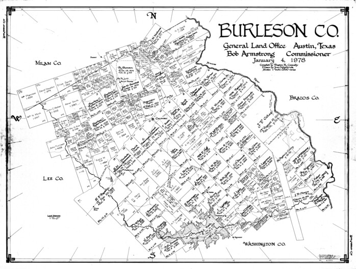
Armstrong County Sketch File A-2


Print $40.00
- Digital $50.00
Armstrong County Sketch File A-2
1918
Size 27.0 x 36.6 inches
Map/Doc 10843
Bosque County
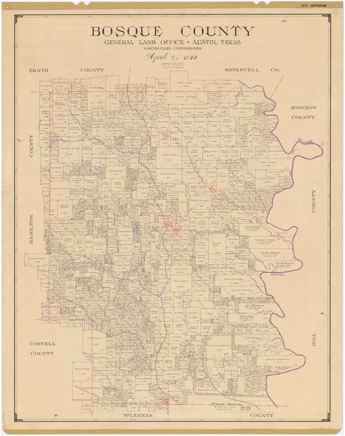

Print $40.00
- Digital $50.00
Bosque County
1945
Size 48.3 x 38.0 inches
Map/Doc 73083
Duval County Sketch File 70


Print $4.00
- Digital $50.00
Duval County Sketch File 70
1953
Size 14.2 x 9.0 inches
Map/Doc 21456
Trinity County Sketch File 25
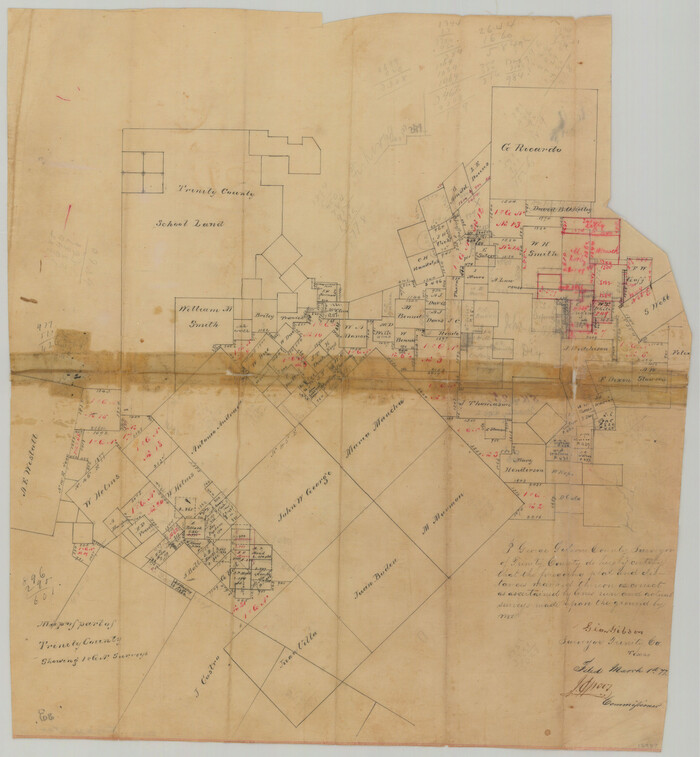

Print $20.00
- Digital $50.00
Trinity County Sketch File 25
Size 19.5 x 37.3 inches
Map/Doc 12487
Newton County Sketch File 11


Print $4.00
- Digital $50.00
Newton County Sketch File 11
1876
Size 7.9 x 12.7 inches
Map/Doc 32380
Aransas County NRC Article 33.136 Sketch 10


Print $26.00
- Digital $50.00
Aransas County NRC Article 33.136 Sketch 10
Size 24.2 x 36.0 inches
Map/Doc 95016
Pecos County Sketch File 29
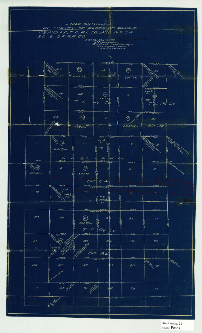

Print $20.00
- Digital $50.00
Pecos County Sketch File 29
1929
Size 26.1 x 15.8 inches
Map/Doc 12170
Bandera County Sketch File 35


Print $2.00
- Digital $50.00
Bandera County Sketch File 35
Size 11.2 x 8.7 inches
Map/Doc 14033
Asher & Adams' Geological Map - United States and Territories
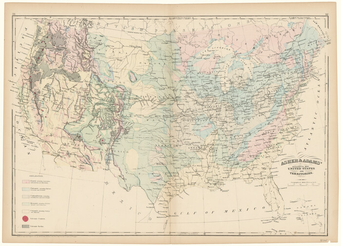

Print $20.00
- Digital $50.00
Asher & Adams' Geological Map - United States and Territories
1874
Size 17.9 x 24.9 inches
Map/Doc 95175
Galveston County NRC Article 33.136 Sketch 80
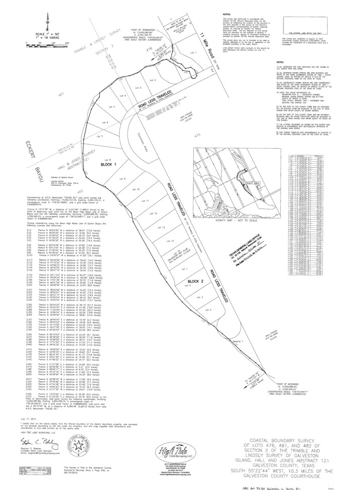

Print $24.00
- Digital $50.00
Galveston County NRC Article 33.136 Sketch 80
2014
Size 36.0 x 24.0 inches
Map/Doc 94987
Aransas County Sketch File 35


Print $61.00
- Digital $50.00
Aransas County Sketch File 35
1984
Size 11.0 x 8.8 inches
Map/Doc 13347
Starr County Boundary File 99
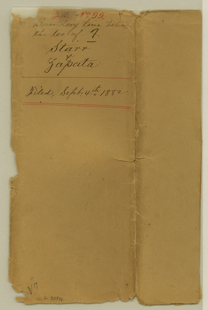

Print $56.00
- Digital $50.00
Starr County Boundary File 99
Size 9.2 x 6.2 inches
Map/Doc 58846
You may also like
Flight Mission No. CRC-2R, Frame 134, Chambers County


Print $20.00
- Digital $50.00
Flight Mission No. CRC-2R, Frame 134, Chambers County
1956
Size 18.6 x 22.3 inches
Map/Doc 84750
Kendall County Rolled Sketch 7
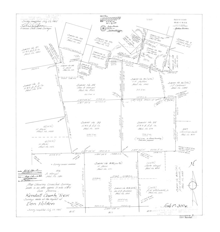

Print $20.00
- Digital $50.00
Kendall County Rolled Sketch 7
Size 29.0 x 27.3 inches
Map/Doc 6460
Flight Mission No. BQR-3K, Frame 156, Brazoria County
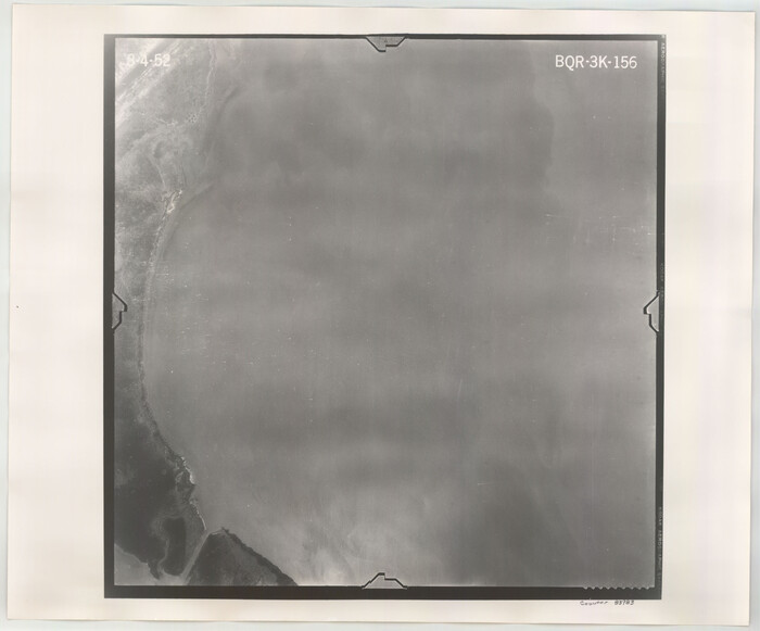

Print $20.00
- Digital $50.00
Flight Mission No. BQR-3K, Frame 156, Brazoria County
1952
Size 18.6 x 22.4 inches
Map/Doc 83983
Northeast Part Presidio County
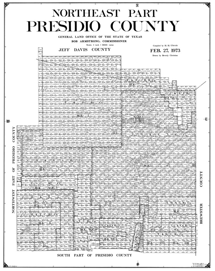

Print $20.00
- Digital $50.00
Northeast Part Presidio County
1973
Size 39.6 x 31.3 inches
Map/Doc 77398
Tyler County Sketch File 17a
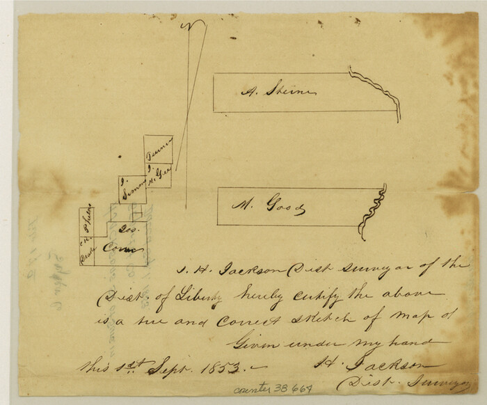

Print $4.00
- Digital $50.00
Tyler County Sketch File 17a
1853
Size 6.6 x 8.0 inches
Map/Doc 38664
Colorado County Sketch File 25
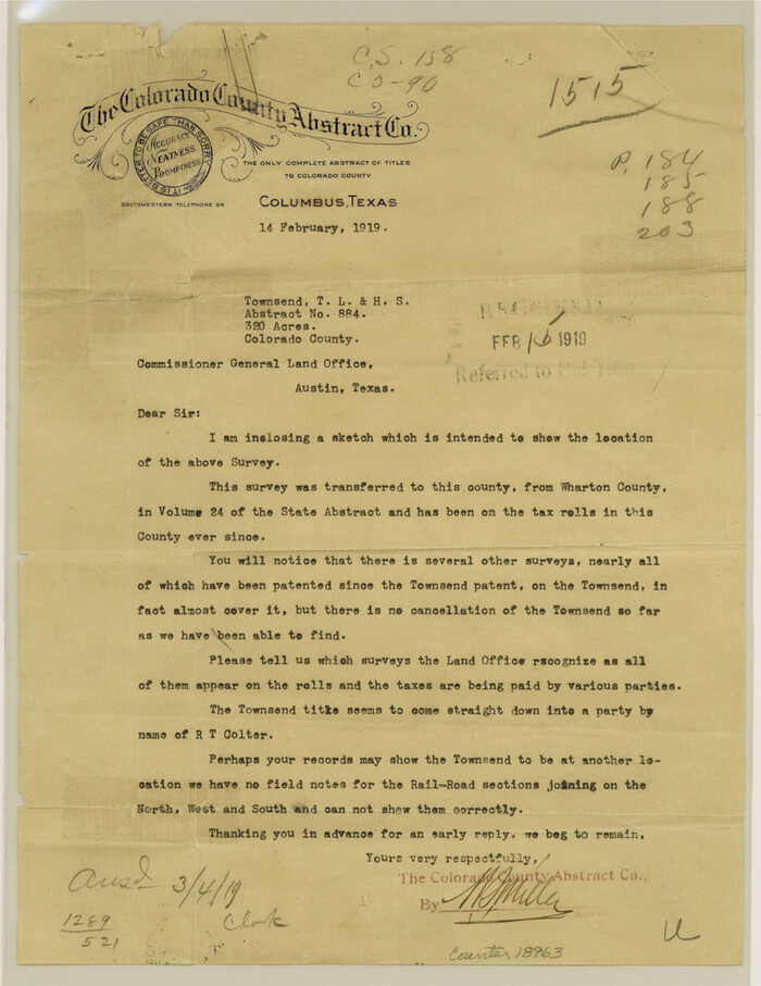

Print $8.00
- Digital $50.00
Colorado County Sketch File 25
1919
Size 11.5 x 8.8 inches
Map/Doc 18963
Goliad County Sketch File 4

Print $6.00
- Digital $50.00
Goliad County Sketch File 4
1857
Size 7.7 x 12.3 inches
Map/Doc 24216
La Salle County Rolled Sketch 17

Print $20.00
- Digital $50.00
La Salle County Rolled Sketch 17
Size 26.5 x 29.9 inches
Map/Doc 6581
Map of North America

Print $20.00
- Digital $50.00
Map of North America
1720
Size 25.0 x 39.6 inches
Map/Doc 93823
[Jesse Folk and Surrounding Surveys]
![91087, [Jesse Folk and Surrounding Surveys], Twichell Survey Records](https://historictexasmaps.com/wmedia_w700/maps/91087-1.tif.jpg)
![91087, [Jesse Folk and Surrounding Surveys], Twichell Survey Records](https://historictexasmaps.com/wmedia_w700/maps/91087-1.tif.jpg)
Print $20.00
- Digital $50.00
[Jesse Folk and Surrounding Surveys]
1922
Size 21.8 x 33.7 inches
Map/Doc 91087
[Sketch of Elizabeth Stanley and Wm. Rivers surveys]
![91982, [Sketch of Elizabeth Stanley and Wm. Rivers surveys], Twichell Survey Records](https://historictexasmaps.com/wmedia_w700/maps/91982-1.tif.jpg)
![91982, [Sketch of Elizabeth Stanley and Wm. Rivers surveys], Twichell Survey Records](https://historictexasmaps.com/wmedia_w700/maps/91982-1.tif.jpg)
Print $20.00
- Digital $50.00
[Sketch of Elizabeth Stanley and Wm. Rivers surveys]
Size 23.3 x 10.3 inches
Map/Doc 91982
![24, [Surveys in the Bexar District], General Map Collection](https://historictexasmaps.com/wmedia_w1800h1800/maps/24-1.tif.jpg)
