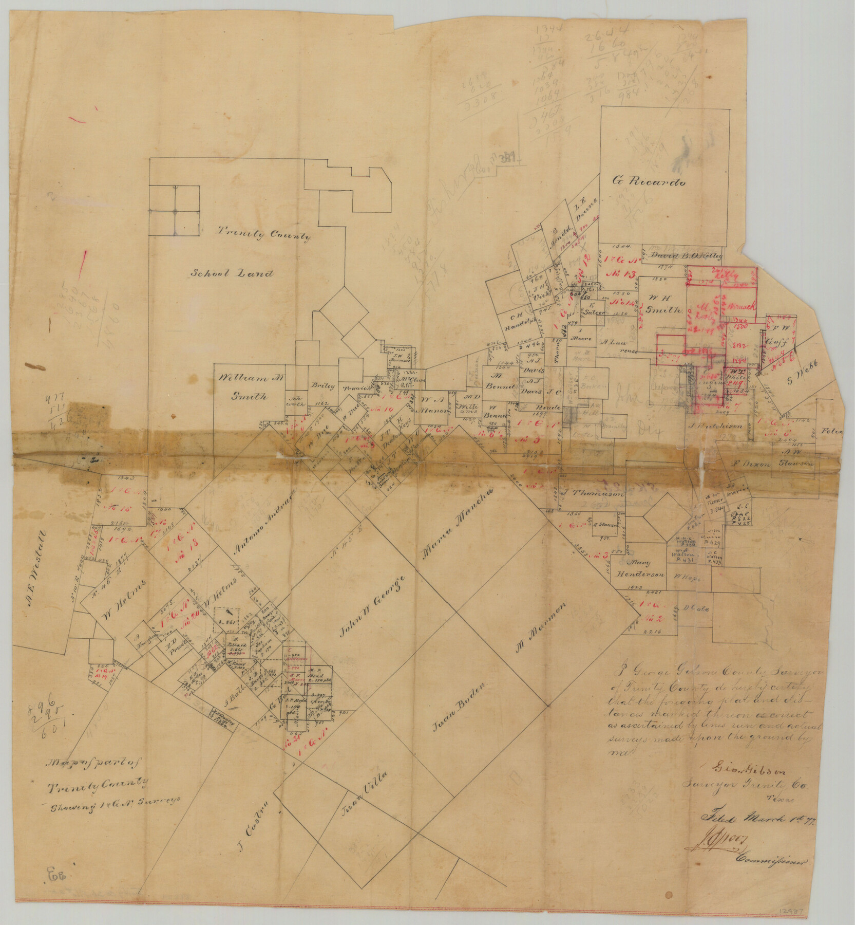
Trinity County Sketch File 25
[Multiple miscellaneous sketches of areas within Trinity County]
-
Map/Doc
12487
-
Collection
General Map Collection
-
People and Organizations
George Gibson (Surveyor/Engineer)
-
Counties
Trinity
-
Subjects
Surveying Sketch File
-
Height x Width
19.5 x 37.3 inches
49.5 x 94.7 cm
-
Medium
paper, manuscript
Part of: General Map Collection
Erath County Working Sketch 9

Print $20.00
- Digital $50.00
Erath County Working Sketch 9
1939
Size 18.6 x 14.8 inches
Map/Doc 69090
Galveston County Sketch File 57

Print $8.00
- Digital $50.00
Galveston County Sketch File 57
1910
Size 8.1 x 5.2 inches
Map/Doc 23603
Pecos County Working Sketch 8

Print $20.00
- Digital $50.00
Pecos County Working Sketch 8
1906
Size 15.4 x 14.8 inches
Map/Doc 71478
Trinity County Sketch File 28

Print $22.00
- Digital $50.00
Trinity County Sketch File 28
Size 7.0 x 19.7 inches
Map/Doc 38564
Nueces County NRC Article 33.136 Sketch 14

Print $54.00
- Digital $50.00
Nueces County NRC Article 33.136 Sketch 14
2008
Size 35.0 x 23.0 inches
Map/Doc 95162
Houston County State Real Property Sketch 1

Print $20.00
- Digital $50.00
Houston County State Real Property Sketch 1
1997
Size 35.5 x 24.4 inches
Map/Doc 80129
Map of Texas Before Admission to the Union and Adjoining State with Northern Portions of the Mexican States of Coahulia & Chihuahua

Print $20.00
- Digital $50.00
Map of Texas Before Admission to the Union and Adjoining State with Northern Portions of the Mexican States of Coahulia & Chihuahua
1834
Size 18.8 x 21.2 inches
Map/Doc 2107
Freestone County Working Sketch 17

Print $20.00
- Digital $50.00
Freestone County Working Sketch 17
1980
Size 44.8 x 31.0 inches
Map/Doc 69259
Webb County Sketch File D

Print $6.00
- Digital $50.00
Webb County Sketch File D
1876
Size 14.4 x 9.0 inches
Map/Doc 39678
Uvalde County Rolled Sketch 13

Print $20.00
- Digital $50.00
Uvalde County Rolled Sketch 13
Size 38.3 x 32.4 inches
Map/Doc 10065
Bosque County Sketch File 3

Print $40.00
- Digital $50.00
Bosque County Sketch File 3
1848
Size 16.1 x 12.4 inches
Map/Doc 14742
Red River County Working Sketch Graphic Index, Sheet 1 (Sketches 1 to 48)

Print $20.00
- Digital $50.00
Red River County Working Sketch Graphic Index, Sheet 1 (Sketches 1 to 48)
1934
Size 46.3 x 39.3 inches
Map/Doc 76680
You may also like
Crockett County Rolled Sketch 93

Print $20.00
- Digital $50.00
Crockett County Rolled Sketch 93
1979
Size 18.8 x 18.9 inches
Map/Doc 5633
North Sulphur River, Bartley Gin Sheet

Print $20.00
- Digital $50.00
North Sulphur River, Bartley Gin Sheet
1928
Size 21.1 x 42.5 inches
Map/Doc 65173
Robertson County Rolled Sketch 2

Print $43.00
- Digital $50.00
Robertson County Rolled Sketch 2
1974
Size 9.6 x 15.1 inches
Map/Doc 48861
Plan of the City of Austin

Print $20.00
Plan of the City of Austin
1839
Size 24.2 x 19.4 inches
Map/Doc 76204
Irion County Working Sketch 4

Print $20.00
- Digital $50.00
Irion County Working Sketch 4
1925
Size 19.4 x 28.1 inches
Map/Doc 66413
Throckmorton County Rolled Sketch 5A

Print $20.00
- Digital $50.00
Throckmorton County Rolled Sketch 5A
2001
Size 25.2 x 36.0 inches
Map/Doc 76406
San Patricio County Sketch File 52

Print $14.00
- Digital $50.00
San Patricio County Sketch File 52
1917
Size 11.3 x 8.7 inches
Map/Doc 36381
San Jacinto County Rolled Sketch 7

Print $20.00
- Digital $50.00
San Jacinto County Rolled Sketch 7
1940
Size 23.6 x 28.8 inches
Map/Doc 7558
Field Notes of surveys in Hutchinson and Wheeler Counties

Field Notes of surveys in Hutchinson and Wheeler Counties
Map/Doc 81670
Kimble County Rolled Sketch 35

Print $20.00
- Digital $50.00
Kimble County Rolled Sketch 35
1978
Size 20.0 x 19.6 inches
Map/Doc 6525
Limestone County, 1922

Print $40.00
- Digital $50.00
Limestone County, 1922
1922
Size 36.4 x 50.1 inches
Map/Doc 89704
La Salle County Rolled Sketch 5

Print $20.00
- Digital $50.00
La Salle County Rolled Sketch 5
1937
Size 17.8 x 27.4 inches
Map/Doc 6570