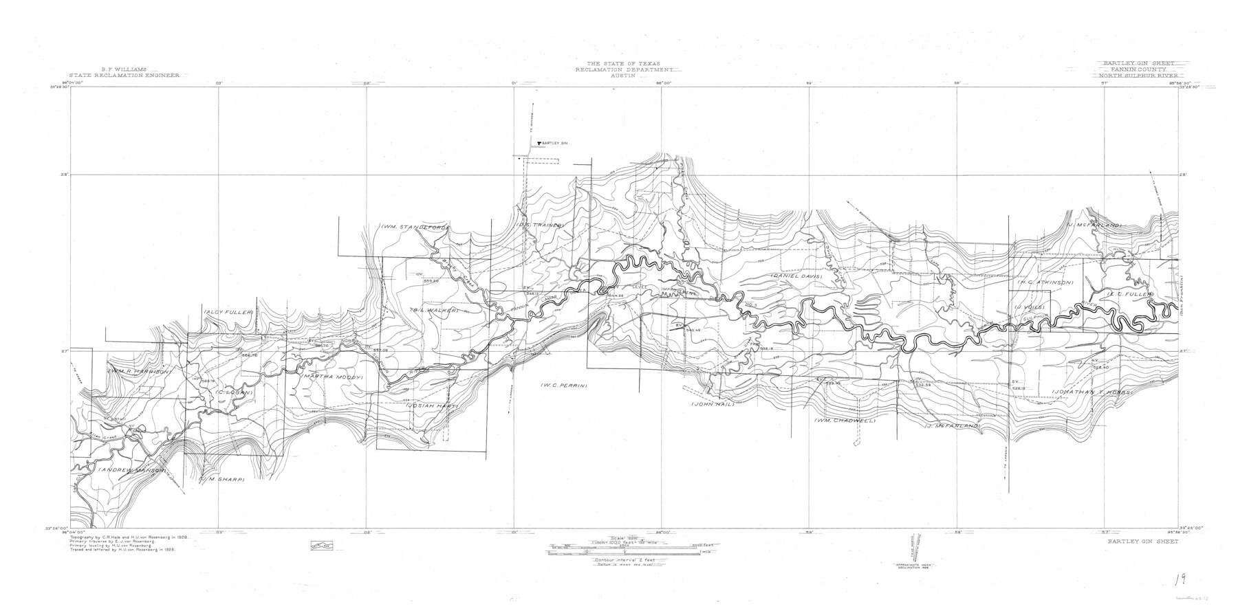
North Sulphur River, Bartley Gin Sheet
-
Map/Doc
65173
-
Collection
General Map Collection
-
Object Dates
1928 (Creation Date)
-
People and Organizations
Texas State Reclamation Department (Publisher)
Curtis R. Hale (Surveyor/Engineer)
Ernest J. von Rosenberg (Surveyor/Engineer)
H.U. von Rosenberg (Compiler)
H.U. von Rosenberg (Draftsman)
H.U. von Rosenberg (Surveyor/Engineer)
-
Counties
Fannin
-
Subjects
River Surveys Topographic
-
Height x Width
21.1 x 42.5 inches
53.6 x 108.0 cm
-
Comments
Bartley Gin Sheet located next to the Ben Franklin Sheet.
Part of: General Map Collection
Presidio County Rolled Sketch D

Print $20.00
- Digital $50.00
Presidio County Rolled Sketch D
Size 13.7 x 22.4 inches
Map/Doc 7408
Mosaic composed of aerial photographs - Galveston, Tex.

Print $20.00
- Digital $50.00
Mosaic composed of aerial photographs - Galveston, Tex.
1923
Size 15.3 x 33.3 inches
Map/Doc 97160
Brooks County Rolled Sketch 18

Print $20.00
- Digital $50.00
Brooks County Rolled Sketch 18
Size 11.3 x 16.1 inches
Map/Doc 61786
Map Showing Location of Galveston, Harrisburg & San Antonio Railway

Print $40.00
- Digital $50.00
Map Showing Location of Galveston, Harrisburg & San Antonio Railway
1881
Size 17.4 x 59.3 inches
Map/Doc 64457
Brewster County Rolled Sketch 95

Print $20.00
- Digital $50.00
Brewster County Rolled Sketch 95
1947
Size 29.4 x 38.0 inches
Map/Doc 5252
Angelina County Sketch File 23

Print $20.00
- Digital $50.00
Angelina County Sketch File 23
Size 13.5 x 8.1 inches
Map/Doc 13053
Val Verde County Working Sketch Graphic Index, Sheet 1 (Sketches 1 to 25)

Print $20.00
- Digital $50.00
Val Verde County Working Sketch Graphic Index, Sheet 1 (Sketches 1 to 25)
1944
Size 40.4 x 36.5 inches
Map/Doc 76724
Bee County Sketch File 1a

Print $12.00
- Digital $50.00
Bee County Sketch File 1a
1846
Size 9.8 x 6.5 inches
Map/Doc 14359
Hockley County Rolled Sketch 7

Print $40.00
- Digital $50.00
Hockley County Rolled Sketch 7
Size 41.4 x 56.6 inches
Map/Doc 9176
Harris County Rolled Sketch 45

Print $20.00
- Digital $50.00
Harris County Rolled Sketch 45
Size 20.2 x 21.0 inches
Map/Doc 6103
Runnels County

Print $40.00
- Digital $50.00
Runnels County
1948
Size 49.8 x 39.8 inches
Map/Doc 95629
El Paso County Sketch File 20

Print $40.00
- Digital $50.00
El Paso County Sketch File 20
Size 31.4 x 49.4 inches
Map/Doc 10447
You may also like
Abandoned and Canceled Surveys - Volume 3 of 3, Counties L-Z

Abandoned and Canceled Surveys - Volume 3 of 3, Counties L-Z
Map/Doc 83250
Atascosa County Sketch File 3

Print $14.00
- Digital $50.00
Atascosa County Sketch File 3
1854
Size 9.1 x 8.6 inches
Map/Doc 13730
Cochran County Sketch File 8

Print $32.00
- Digital $50.00
Cochran County Sketch File 8
1940
Size 11.0 x 8.8 inches
Map/Doc 18555
Garza County Rolled Sketch 11

Print $20.00
- Digital $50.00
Garza County Rolled Sketch 11
1915
Size 31.6 x 20.8 inches
Map/Doc 6000

Flight Mission No. DQO-11K, Frame 20, Galveston County

Print $20.00
- Digital $50.00
Flight Mission No. DQO-11K, Frame 20, Galveston County
1952
Size 18.8 x 22.4 inches
Map/Doc 85215
Map of Texas with population and location of principal towns and cities according to latest reliable statistics

Print $20.00
- Digital $50.00
Map of Texas with population and location of principal towns and cities according to latest reliable statistics
1912
Size 18.0 x 20.2 inches
Map/Doc 95876
Donley County Boundary File 3

Print $33.00
- Digital $50.00
Donley County Boundary File 3
Size 13.2 x 8.7 inches
Map/Doc 52623
Live Oak County Working Sketch 14

Print $20.00
- Digital $50.00
Live Oak County Working Sketch 14
1949
Size 27.9 x 42.1 inches
Map/Doc 70599
Angelina County

Print $40.00
- Digital $50.00
Angelina County
1945
Size 40.2 x 49.7 inches
Map/Doc 95417
Flight Mission No. BQR-5K, Frame 69, Brazoria County

Print $20.00
- Digital $50.00
Flight Mission No. BQR-5K, Frame 69, Brazoria County
1952
Size 18.8 x 22.4 inches
Map/Doc 84014
San Augustine County Sketch File 17

Print $35.00
San Augustine County Sketch File 17
1947
Size 11.5 x 8.7 inches
Map/Doc 35668