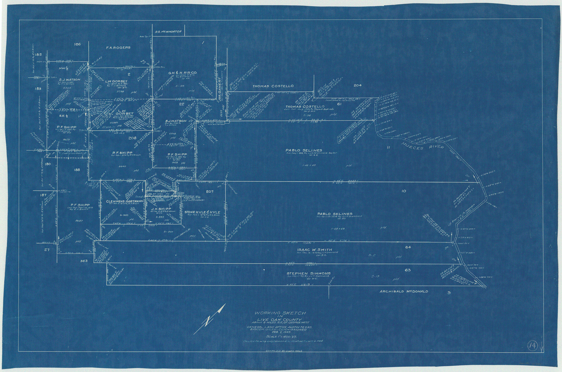
Live Oak County Working Sketch 14
-
Map/Doc
70599
-
Collection
General Map Collection
-
Object Dates
2/2/1949 (Creation Date)
-
People and Organizations
Curtis R. Hale (Draftsman)
-
Counties
Live Oak
-
Subjects
Surveying Working Sketch
-
Height x Width
27.9 x 42.1 inches
70.9 x 106.9 cm
-
Scale
1" = 400 varas
Part of: General Map Collection
Cherokee County Sketch File 7

Print $4.00
- Digital $50.00
Cherokee County Sketch File 7
Size 10.3 x 8.3 inches
Map/Doc 18128
Johnson County Working Sketch 21

Print $20.00
- Digital $50.00
Johnson County Working Sketch 21
1995
Size 18.1 x 29.6 inches
Map/Doc 66634
Montague County Working Sketch 28

Print $20.00
- Digital $50.00
Montague County Working Sketch 28
1963
Size 36.6 x 31.8 inches
Map/Doc 71094

Stonewall County

Print $40.00
- Digital $50.00
Stonewall County
1933
Size 48.0 x 39.4 inches
Map/Doc 95646

Flight Mission No. DIX-5P, Frame 109, Aransas County

Print $20.00
- Digital $50.00
Flight Mission No. DIX-5P, Frame 109, Aransas County
1956
Size 17.8 x 18.1 inches
Map/Doc 83788
Navarro County Working Sketch 4

Print $20.00
- Digital $50.00
Navarro County Working Sketch 4
1922
Size 20.8 x 20.9 inches
Map/Doc 71234
Bowie County Sketch File 6d

Print $4.00
- Digital $50.00
Bowie County Sketch File 6d
1927
Size 11.4 x 9.0 inches
Map/Doc 14850
Terrell County Working Sketch 13

Print $20.00
- Digital $50.00
Terrell County Working Sketch 13
1926
Size 30.1 x 22.8 inches
Map/Doc 62162
Fayette County Working Sketch 3

Print $20.00
- Digital $50.00
Fayette County Working Sketch 3
1980
Size 29.0 x 36.3 inches
Map/Doc 69167
Yoakum County Boundary File 1b

Print $2.00
- Digital $50.00
Yoakum County Boundary File 1b
Size 14.4 x 9.0 inches
Map/Doc 60197
You may also like
Flight Mission No. DQO-7K, Frame 77, Galveston County

Print $20.00
- Digital $50.00
Flight Mission No. DQO-7K, Frame 77, Galveston County
1952
Size 18.9 x 22.6 inches
Map/Doc 85104
Edwards County Sketch File 55

Print $4.00
- Digital $50.00
Edwards County Sketch File 55
1982
Size 9.1 x 14.5 inches
Map/Doc 21806
Subdivisions of University League 8 in Cooke County

Subdivisions of University League 8 in Cooke County
Map/Doc 81728
Matagorda County NRC Article 33.136 Sketch 10

Print $46.00
- Digital $50.00
Matagorda County NRC Article 33.136 Sketch 10
2013
Size 24.0 x 36.0 inches
Map/Doc 94519
Hockley County Boundary File 1

Print $8.00
- Digital $50.00
Hockley County Boundary File 1
Size 13.5 x 8.5 inches
Map/Doc 54798
Childress County Sketch File 16a

Print $16.00
- Digital $50.00
Childress County Sketch File 16a
1901
Size 13.3 x 8.3 inches
Map/Doc 18309
Part of Tom Green County, Texas (No. 3)

Print $20.00
- Digital $50.00
Part of Tom Green County, Texas (No. 3)
1870
Size 22.9 x 17.7 inches
Map/Doc 5047
Starr County Sketch File 52

Print $4.00
- Digital $50.00
Starr County Sketch File 52
Size 13.9 x 9.0 inches
Map/Doc 37011

Flight Mission No. BRA-7M, Frame 190, Jefferson County

Print $20.00
- Digital $50.00
Flight Mission No. BRA-7M, Frame 190, Jefferson County
1953
Size 18.7 x 22.3 inches
Map/Doc 85558
Tarrant County Sketch File 3

Print $4.00
- Digital $50.00
Tarrant County Sketch File 3
Size 11.8 x 8.2 inches
Map/Doc 37676
Flight Mission No. DQO-6K, Frame 23, Galveston County

Print $20.00
- Digital $50.00
Flight Mission No. DQO-6K, Frame 23, Galveston County
1952
Size 18.8 x 22.5 inches
Map/Doc 85096