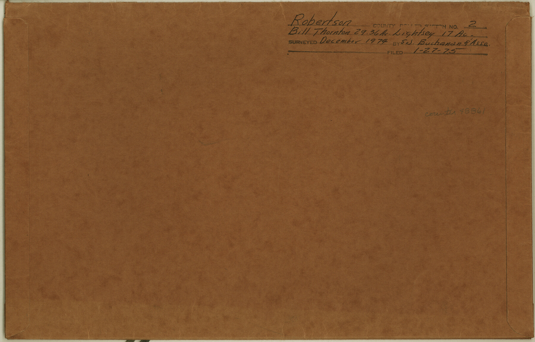
Robertson County Rolled Sketch 2
Bill Thornton 29.36 acre tract & Lightsey 17.00 acre tract, McKinney & Williams survey & N.K. Robertson survey, Robertson County, Texas [and topographic sheet]
-
Map/Doc
48861
-
Collection
General Map Collection
-
Object Dates
1974 (Creation Date)
1975/1/27 (File Date)
-
People and Organizations
Donald W. Bockman (Surveyor/Engineer)
-
Counties
Robertson
-
Subjects
Surveying Rolled Sketch
-
Height x Width
9.6 x 15.1 inches
24.4 x 38.4 cm
-
Medium
multi-page, multi-format
Part of: General Map Collection
Upton County Working Sketch 6


Print $20.00
- Digital $50.00
Upton County Working Sketch 6
1909
Size 17.1 x 27.0 inches
Map/Doc 69502
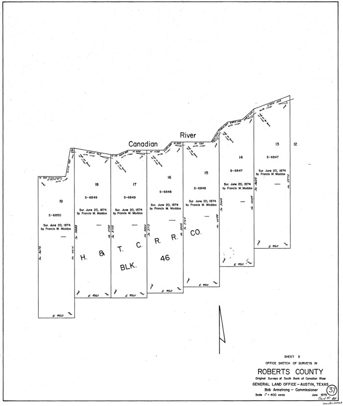
Roberts County Working Sketch 37

Print $20.00
- Digital $50.00
Roberts County Working Sketch 37
1978
Size 26.6 x 22.5 inches
Map/Doc 63563
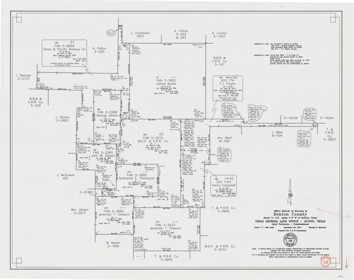
Denton County Working Sketch 38

Print $20.00
- Digital $50.00
Denton County Working Sketch 38
2010
Size 23.4 x 29.5 inches
Map/Doc 89571
Pecos County Sketch File 109


Print $5.00
- Digital $50.00
Pecos County Sketch File 109
1982
Size 14.8 x 9.3 inches
Map/Doc 34039
Eastland County Working Sketch 5


Print $20.00
- Digital $50.00
Eastland County Working Sketch 5
1918
Size 16.1 x 19.3 inches
Map/Doc 68786
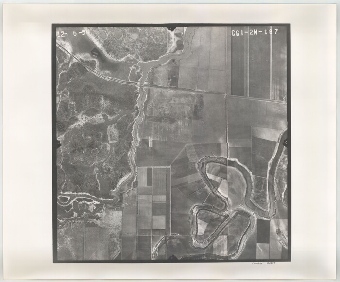
Flight Mission No. CGI-2N, Frame 187, Cameron County

Print $20.00
- Digital $50.00
Flight Mission No. CGI-2N, Frame 187, Cameron County
1954
Size 18.5 x 22.2 inches
Map/Doc 84547
Comanche County Boundary File 21

Print $10.00
- Digital $50.00
Comanche County Boundary File 21
Size 8.3 x 3.7 inches
Map/Doc 51800
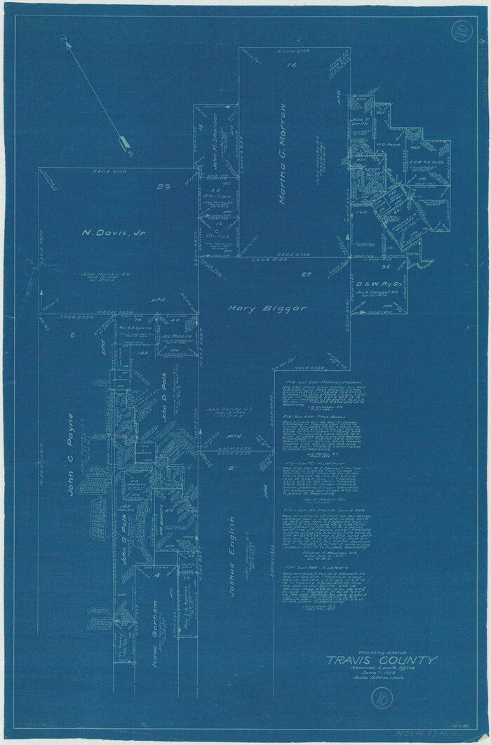
Travis County Working Sketch 10

Print $20.00
- Digital $50.00
Travis County Working Sketch 10
1918
Size 24.7 x 16.3 inches
Map/Doc 69394
Burnet County Boundary File 4
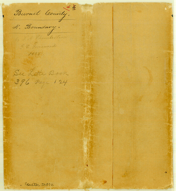

Print $30.00
- Digital $50.00
Burnet County Boundary File 4
Size 8.8 x 8.1 inches
Map/Doc 50872
Flight Mission No. BQY-15M, Frame 16, Harris County


Print $20.00
- Digital $50.00
Flight Mission No. BQY-15M, Frame 16, Harris County
1953
Size 18.6 x 22.4 inches
Map/Doc 85314
Flight Mission No. DCL-3C, Frame 106, Kenedy County


Print $20.00
- Digital $50.00
Flight Mission No. DCL-3C, Frame 106, Kenedy County
1943
Size 18.7 x 22.3 inches
Map/Doc 85801
You may also like
Reagan County Rolled Sketch 17A
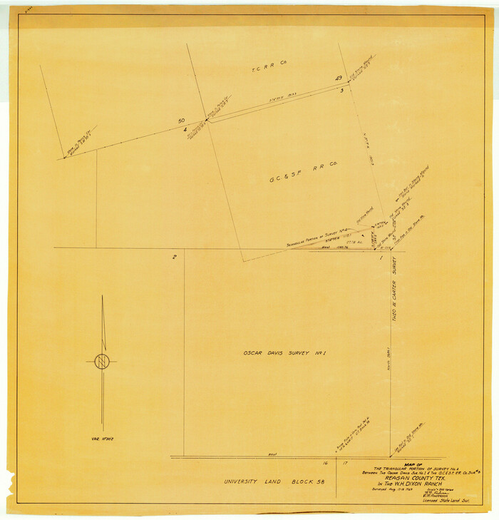

Print $20.00
- Digital $50.00
Reagan County Rolled Sketch 17A
1948
Size 33.8 x 32.4 inches
Map/Doc 9813
Val Verde County Sketch File 21A


Print $20.00
- Digital $50.00
Val Verde County Sketch File 21A
Size 25.9 x 43.8 inches
Map/Doc 10419
Terrell County Rolled Sketch 26
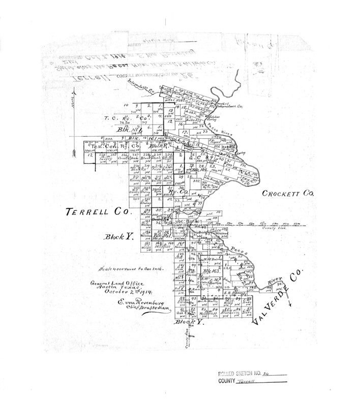

Print $20.00
- Digital $50.00
Terrell County Rolled Sketch 26
1914
Size 17.3 x 15.2 inches
Map/Doc 7933
Jim Hogg County Sketch File 4
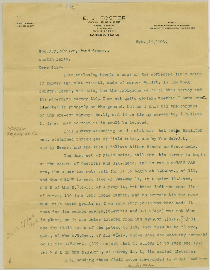

Print $8.00
- Digital $50.00
Jim Hogg County Sketch File 4
1926
Size 11.2 x 8.7 inches
Map/Doc 28404
Harris County Rolled Sketch 101
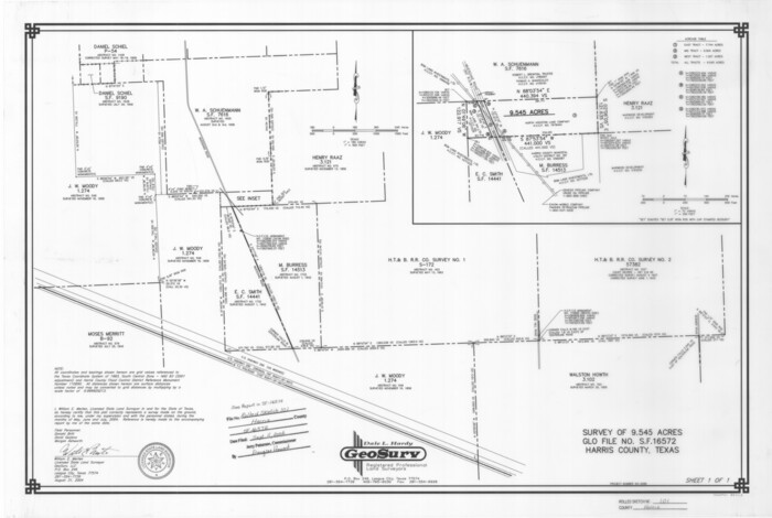

Print $20.00
- Digital $50.00
Harris County Rolled Sketch 101
2004
Size 24.3 x 36.2 inches
Map/Doc 83063
Right of Way & Track Map, St. Louis, Brownsville & Mexico Ry. operated by St. Louis, Brownsville & Mexico Ry. Co.
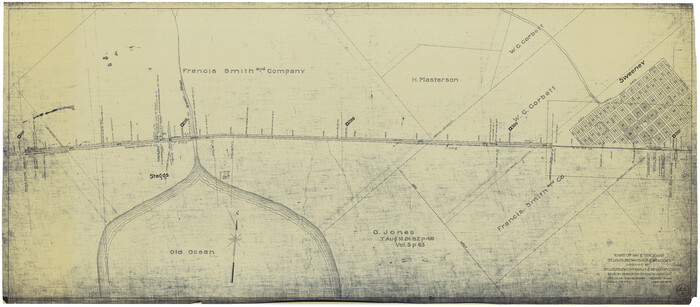

Print $40.00
- Digital $50.00
Right of Way & Track Map, St. Louis, Brownsville & Mexico Ry. operated by St. Louis, Brownsville & Mexico Ry. Co.
1919
Size 25.4 x 56.9 inches
Map/Doc 64614
[Surveys in the Montgomery District: San Jacinto River and Caney Creek, Navidad, Navasota]
![69744, [Surveys in the Montgomery District: San Jacinto River and Caney Creek, Navidad, Navasota], General Map Collection](https://historictexasmaps.com/wmedia_w700/maps/69744.tif.jpg)
![69744, [Surveys in the Montgomery District: San Jacinto River and Caney Creek, Navidad, Navasota], General Map Collection](https://historictexasmaps.com/wmedia_w700/maps/69744.tif.jpg)
Print $2.00
- Digital $50.00
[Surveys in the Montgomery District: San Jacinto River and Caney Creek, Navidad, Navasota]
Size 5.1 x 7.3 inches
Map/Doc 69744
Uvalde County Working Sketch 7
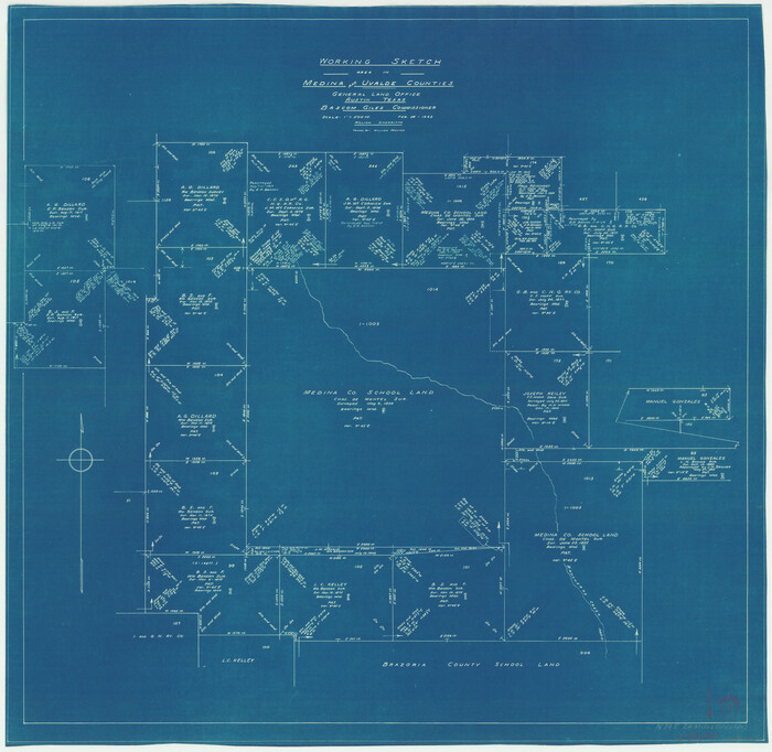

Print $20.00
- Digital $50.00
Uvalde County Working Sketch 7
1942
Size 29.2 x 30.0 inches
Map/Doc 72077
Angelina County Sketch File 30
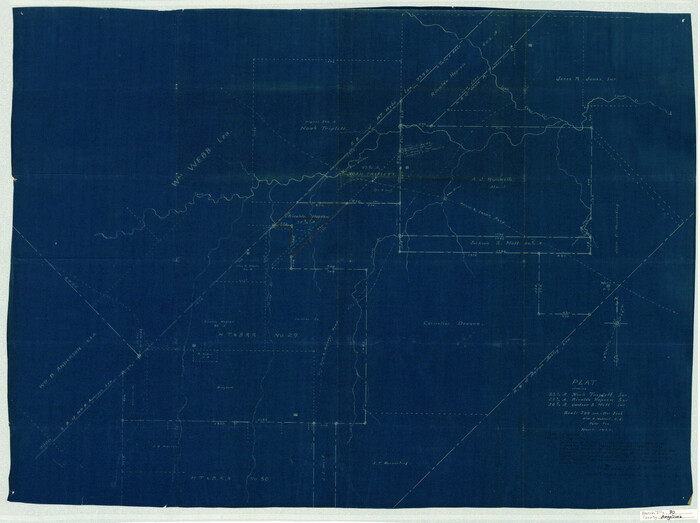

Print $40.00
- Digital $50.00
Angelina County Sketch File 30
1920
Size 24.5 x 32.7 inches
Map/Doc 10818
[San Antonio & Aransas Pass]
![64211, [San Antonio & Aransas Pass], General Map Collection](https://historictexasmaps.com/wmedia_w700/maps/64211.tif.jpg)
![64211, [San Antonio & Aransas Pass], General Map Collection](https://historictexasmaps.com/wmedia_w700/maps/64211.tif.jpg)
Print $2.00
- Digital $50.00
[San Antonio & Aransas Pass]
Size 11.6 x 8.2 inches
Map/Doc 64211
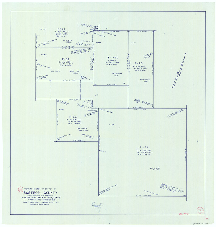
Bastrop County Working Sketch 14

Print $20.00
- Digital $50.00
Bastrop County Working Sketch 14
1984
Size 24.5 x 23.4 inches
Map/Doc 67314
