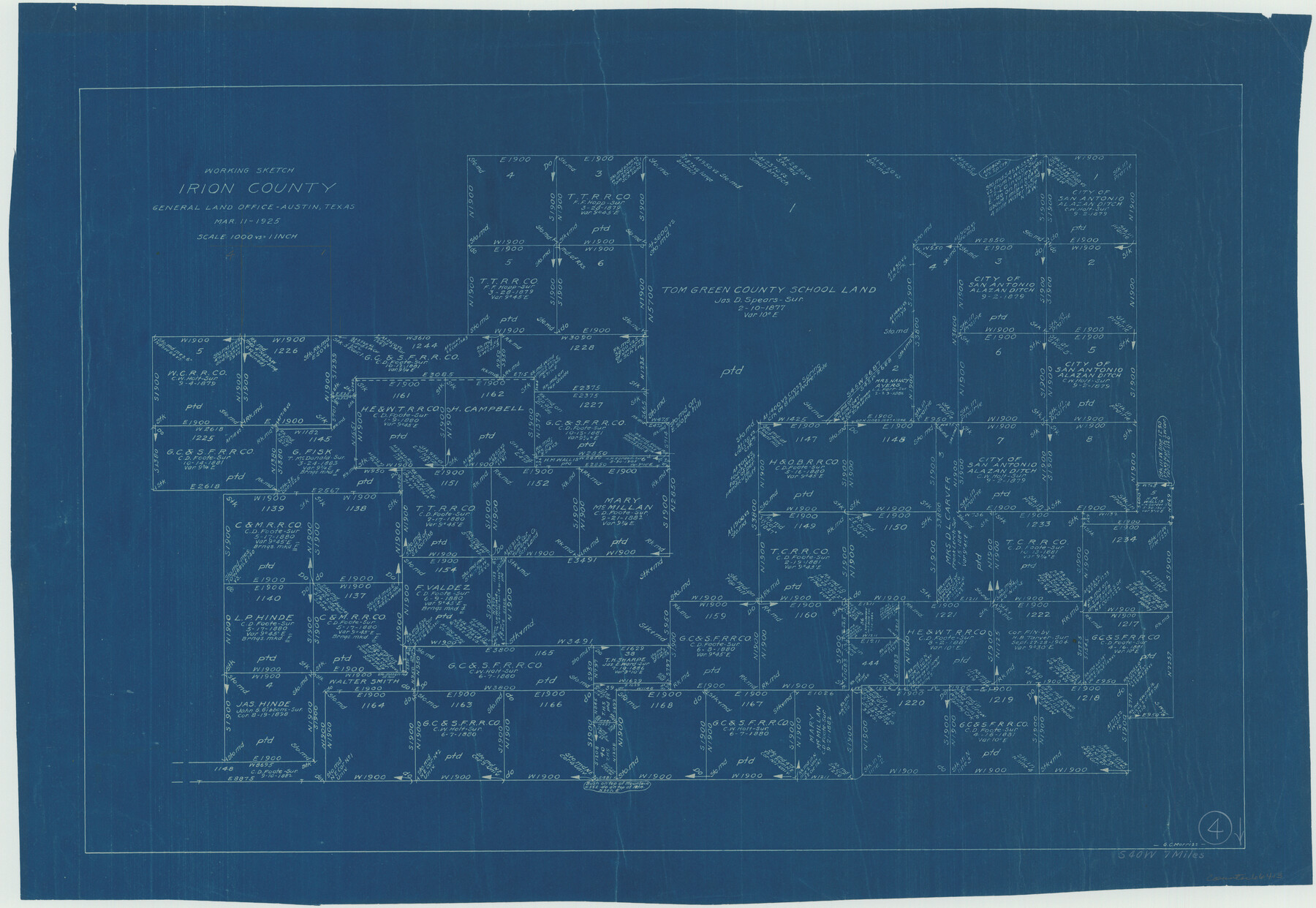
Irion County Working Sketch 4
-
Map/Doc
66413
-
Collection
General Map Collection
-
Object Dates
3/11/1925 (Creation Date)
-
People and Organizations
G.C. Morriss (Draftsman)
-
Counties
Irion
-
Subjects
Surveying Working Sketch
-
Height x Width
19.4 x 28.1 inches
49.3 x 71.4 cm
-
Scale
1" = 1000 varas
Part of: General Map Collection
Refugio County Working Sketch 12

Print $40.00
- Digital $50.00
Refugio County Working Sketch 12
1949
Size 42.6 x 48.2 inches
Map/Doc 63521
Jack County Working Sketch 7

Print $20.00
- Digital $50.00
Jack County Working Sketch 7
1953
Size 37.2 x 31.9 inches
Map/Doc 66433
Cottle County Working Sketch 6

Print $20.00
- Digital $50.00
Cottle County Working Sketch 6
1927
Size 23.0 x 29.3 inches
Map/Doc 68316
Howard County Working Sketch 10

Print $20.00
- Digital $50.00
Howard County Working Sketch 10
1962
Size 24.4 x 26.1 inches
Map/Doc 66278
Liberty County Rolled Sketch JP2

Print $40.00
- Digital $50.00
Liberty County Rolled Sketch JP2
1935
Size 52.2 x 12.7 inches
Map/Doc 81403
Sterling County Rolled Sketch 22

Print $20.00
- Digital $50.00
Sterling County Rolled Sketch 22
Size 33.6 x 30.8 inches
Map/Doc 9953
Flight Mission No. DIX-6P, Frame 194, Aransas County

Print $20.00
- Digital $50.00
Flight Mission No. DIX-6P, Frame 194, Aransas County
1956
Size 19.2 x 22.7 inches
Map/Doc 83856
Kinney County Boundary File 1

Print $94.00
- Digital $50.00
Kinney County Boundary File 1
Size 20.3 x 3.7 inches
Map/Doc 64935
Flight Mission No. DQN-1K, Frame 154, Calhoun County

Print $20.00
- Digital $50.00
Flight Mission No. DQN-1K, Frame 154, Calhoun County
1953
Size 18.7 x 22.4 inches
Map/Doc 84213
Medina County

Print $40.00
- Digital $50.00
Medina County
1915
Size 53.2 x 44.8 inches
Map/Doc 10790
Kerr County Working Sketch Graphic Index

Print $40.00
- Digital $50.00
Kerr County Working Sketch Graphic Index
1923
Size 40.4 x 55.9 inches
Map/Doc 76605
Flight Mission No. BQR-13K, Frame 117, Brazoria County

Print $20.00
- Digital $50.00
Flight Mission No. BQR-13K, Frame 117, Brazoria County
1952
Size 18.6 x 22.4 inches
Map/Doc 84078
You may also like
Burleson County Working Sketch 46

Print $20.00
- Digital $50.00
Burleson County Working Sketch 46
1995
Size 30.6 x 36.9 inches
Map/Doc 67765
The Republic of Texas, March 2, 1836 - February 19, 1846

The Republic of Texas, March 2, 1836 - February 19, 1846
1972
Size 23.4 x 18.3 inches
Map/Doc 2109
Flight Mission No. DCL-4C, Frame 145, Kenedy County

Print $20.00
- Digital $50.00
Flight Mission No. DCL-4C, Frame 145, Kenedy County
1943
Size 18.6 x 22.4 inches
Map/Doc 85823
Dickens County Sketch File 31

Print $20.00
- Digital $50.00
Dickens County Sketch File 31
Size 22.3 x 9.5 inches
Map/Doc 11327
Val Verde County Sketch File XXX3

Print $6.00
- Digital $50.00
Val Verde County Sketch File XXX3
Size 11.0 x 16.8 inches
Map/Doc 39096
Castro County Sketch File 4d

Print $4.00
- Digital $50.00
Castro County Sketch File 4d
Size 13.6 x 8.8 inches
Map/Doc 17471
Upton County Sketch File S

Print $8.00
- Digital $50.00
Upton County Sketch File S
Size 13.4 x 9.1 inches
Map/Doc 38850
General Highway Map, Cameron County, Texas

Print $20.00
General Highway Map, Cameron County, Texas
1961
Size 18.3 x 24.7 inches
Map/Doc 79397
Hudspeth County Working Sketch 35

Print $40.00
- Digital $50.00
Hudspeth County Working Sketch 35
Size 37.0 x 55.2 inches
Map/Doc 66320
Red River County Working Sketch 44

Print $20.00
- Digital $50.00
Red River County Working Sketch 44
1968
Size 28.1 x 28.3 inches
Map/Doc 72027

Nueces County Sketch File 4

Print $4.00
- Digital $50.00
Nueces County Sketch File 4
1848
Size 10.1 x 8.0 inches
Map/Doc 32505