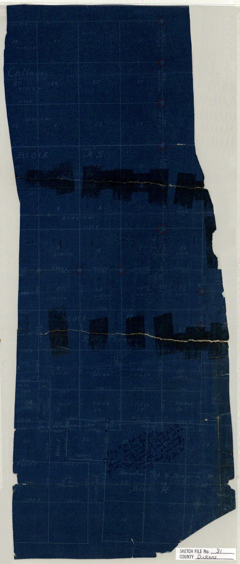
Dickens County Sketch File 31
S. Cent. Pt. Co.
-
Map/Doc
11327
-
Collection
General Map Collection
-
Object Dates
1939/11/27 (File Date)
-
People and Organizations
G.M. Williams (Surveyor/Engineer)
-
Counties
Dickens
-
Subjects
Surveying Sketch File
-
Height x Width
22.3 x 9.5 inches
56.6 x 24.1 cm
-
Medium
blueprint/diazo
Part of: General Map Collection
Brewster County Rolled Sketch 101

Print $40.00
- Digital $50.00
Brewster County Rolled Sketch 101
1927
Size 74.7 x 50.4 inches
Map/Doc 10649
Presidio County Working Sketch 119

Print $20.00
- Digital $50.00
Presidio County Working Sketch 119
1983
Size 36.7 x 37.1 inches
Map/Doc 71796
San Augustine County Sketch File 6

Print $4.00
San Augustine County Sketch File 6
1858
Size 6.4 x 7.7 inches
Map/Doc 35644
Refugio County Boundary File 6

Print $10.00
- Digital $50.00
Refugio County Boundary File 6
Size 14.3 x 8.8 inches
Map/Doc 58257
Presidio County Working Sketch 59

Print $20.00
- Digital $50.00
Presidio County Working Sketch 59
1956
Size 20.6 x 22.6 inches
Map/Doc 71736
Le Golfe de Mexique, et les Provinces et Isles qui l'Environe comme sont la Floride au nord, le Mexique ou Nouvelle Espagne a l'ouest, la Terre-Ferme au sud, les Is. Antilles, Lucayes, St. Domingue et Jamaique a l'est

Print $20.00
- Digital $50.00
Le Golfe de Mexique, et les Provinces et Isles qui l'Environe comme sont la Floride au nord, le Mexique ou Nouvelle Espagne a l'ouest, la Terre-Ferme au sud, les Is. Antilles, Lucayes, St. Domingue et Jamaique a l'est
1717
Size 20.2 x 25.7 inches
Map/Doc 95923
Presidio County Working Sketch 5

Print $20.00
- Digital $50.00
Presidio County Working Sketch 5
1917
Size 14.0 x 17.5 inches
Map/Doc 71679
Gregg County Sketch File 1E

Print $4.00
- Digital $50.00
Gregg County Sketch File 1E
1849
Size 12.6 x 8.2 inches
Map/Doc 24545
El Paso County Rolled Sketch 49

Print $40.00
- Digital $50.00
El Paso County Rolled Sketch 49
Size 10.5 x 99.9 inches
Map/Doc 8875
Mills County Rolled Sketch 7

Print $20.00
- Digital $50.00
Mills County Rolled Sketch 7
2025
Size 23.7 x 29.8 inches
Map/Doc 97434
[Map representing Townships 21, 20 and part of 19 of Range 17 and the corresponding ones in the 16th Range, according to the United States surveys showing the Boundary between the Republic of Texas and the United States of America]
![262, [Map representing Townships 21, 20 and part of 19 of Range 17 and the corresponding ones in the 16th Range, according to the United States surveys showing the Boundary between the Republic of Texas and the United States of America], General Map Collection](https://historictexasmaps.com/wmedia_w700/maps/262.tif.jpg)
Print $20.00
- Digital $50.00
[Map representing Townships 21, 20 and part of 19 of Range 17 and the corresponding ones in the 16th Range, according to the United States surveys showing the Boundary between the Republic of Texas and the United States of America]
1841
Size 19.5 x 15.4 inches
Map/Doc 262
Coke County Sketch File 30

Print $40.00
- Digital $50.00
Coke County Sketch File 30
Size 12.2 x 17.6 inches
Map/Doc 18641
You may also like
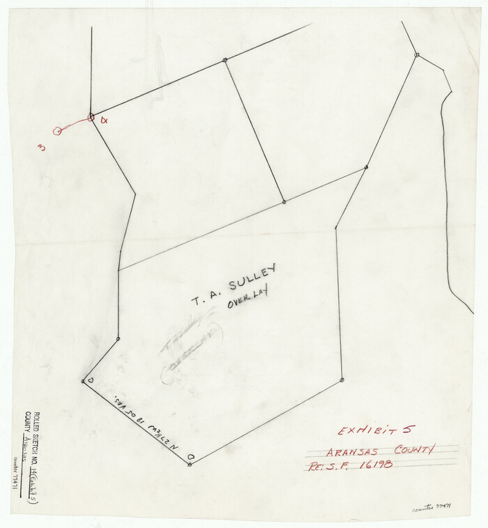
Aransas County Rolled Sketch 14
Print $20.00
- Digital $50.00
Aransas County Rolled Sketch 14
Size 18.2 x 16.8 inches
Map/Doc 77471
Real County Working Sketch 67

Print $20.00
- Digital $50.00
Real County Working Sketch 67
1970
Size 21.2 x 16.4 inches
Map/Doc 71959
McMullen County Sketch File 16a

Print $40.00
- Digital $50.00
McMullen County Sketch File 16a
Size 12.5 x 12.5 inches
Map/Doc 31367
Flight Mission No. CRE-3R, Frame 41, Jackson County

Print $20.00
- Digital $50.00
Flight Mission No. CRE-3R, Frame 41, Jackson County
1956
Size 18.6 x 22.4 inches
Map/Doc 85388
Bandera County Working Sketch 58

Print $20.00
- Digital $50.00
Bandera County Working Sketch 58
2001
Size 34.9 x 36.7 inches
Map/Doc 67654
Blanco County Rolled Sketch 3

Print $20.00
- Digital $50.00
Blanco County Rolled Sketch 3
Size 14.8 x 13.5 inches
Map/Doc 5142
Red River County Working Sketch 83

Print $20.00
- Digital $50.00
Red River County Working Sketch 83
1996
Size 21.0 x 22.3 inches
Map/Doc 72069
Houston County Rolled Sketch 11

Print $20.00
- Digital $50.00
Houston County Rolled Sketch 11
1988
Size 29.9 x 22.9 inches
Map/Doc 6231
Galveston County NRC Article 33.136 Sketch 3

Print $20.00
- Digital $50.00
Galveston County NRC Article 33.136 Sketch 3
2001
Size 22.4 x 34.0 inches
Map/Doc 61567
Crosby County Sketch File 1b

Print $20.00
- Digital $50.00
Crosby County Sketch File 1b
Size 18.0 x 14.5 inches
Map/Doc 11244
Limestone County Working Sketch 4

Print $20.00
- Digital $50.00
Limestone County Working Sketch 4
1921
Size 20.2 x 26.3 inches
Map/Doc 70554
Blocks 3 and 4 Capitol Syndicate Subdivision of Capitol Leagues

Print $20.00
- Digital $50.00
Blocks 3 and 4 Capitol Syndicate Subdivision of Capitol Leagues
1906
Size 17.5 x 27.4 inches
Map/Doc 90581