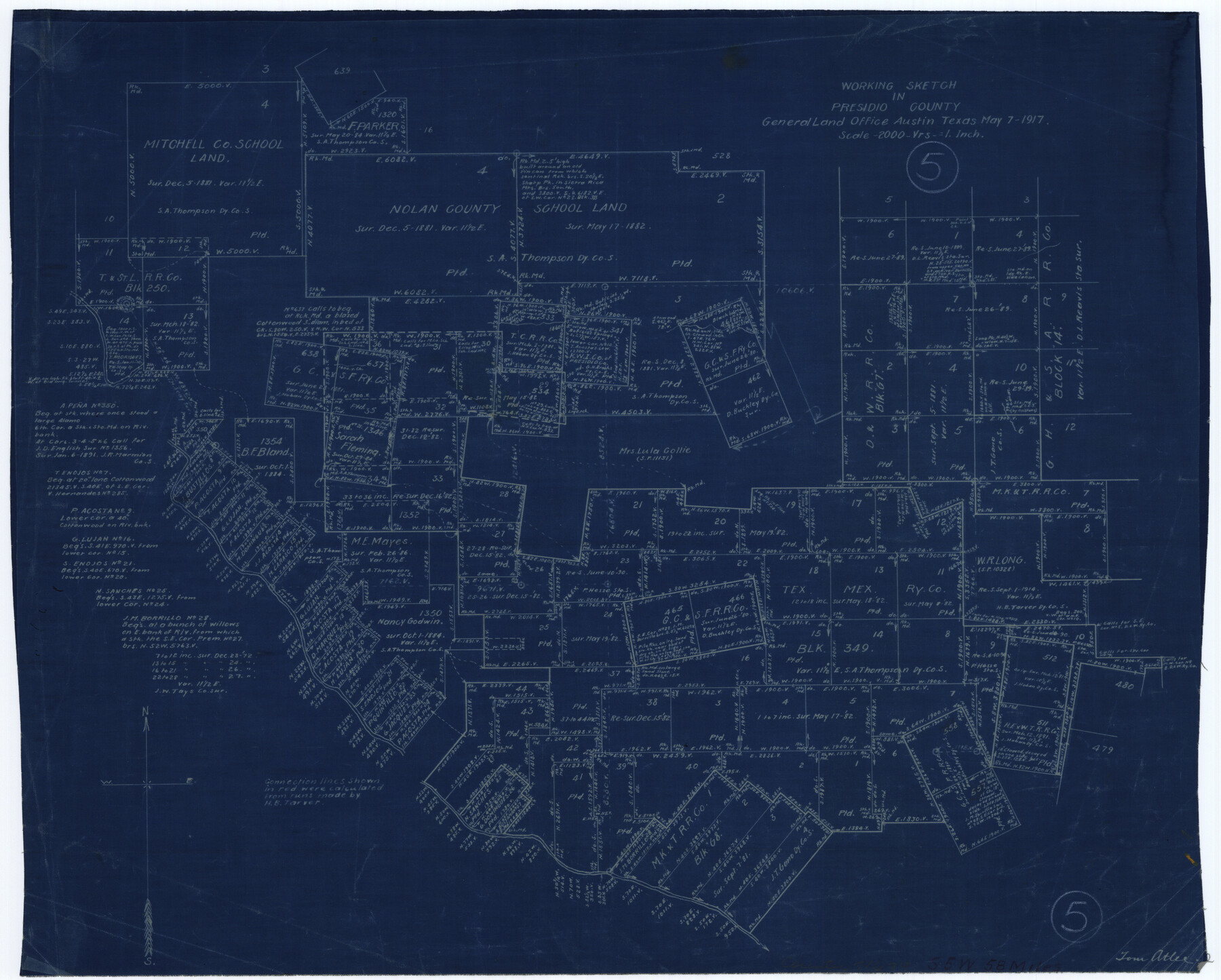
Presidio County Working Sketch 5
-
Map/Doc
71679
-
Collection
General Map Collection
-
Object Dates
5/7/1917 (Creation Date)
-
People and Organizations
Tom Atlee (Draftsman)
-
Counties
Presidio
-
Subjects
Surveying Working Sketch
-
Height x Width
14.0 x 17.5 inches
35.6 x 44.5 cm
-
Scale
1" = 2000 varas
Part of: General Map Collection
Randall County Rolled Sketch 4

Print $20.00
- Digital $50.00
Randall County Rolled Sketch 4
1944
Size 21.7 x 39.7 inches
Map/Doc 7424
Starr County Rolled Sketch X

Print $121.00
- Digital $50.00
Starr County Rolled Sketch X
Size 13.3 x 8.1 inches
Map/Doc 75961
Map of the World on a Globular Projection to illustrate Olney's school geography

Print $20.00
- Digital $50.00
Map of the World on a Globular Projection to illustrate Olney's school geography
1844
Size 12.1 x 19.0 inches
Map/Doc 93535
La Salle County Working Sketch 17

Print $20.00
- Digital $50.00
La Salle County Working Sketch 17
1936
Size 16.7 x 19.9 inches
Map/Doc 70318
Hood County Working Sketch 19

Print $20.00
- Digital $50.00
Hood County Working Sketch 19
1988
Size 22.7 x 18.3 inches
Map/Doc 66213
Flight Mission No. BQR-4K, Frame 72, Brazoria County

Print $20.00
- Digital $50.00
Flight Mission No. BQR-4K, Frame 72, Brazoria County
1952
Size 18.8 x 22.5 inches
Map/Doc 84005
Refugio County Working Sketch 11

Print $20.00
- Digital $50.00
Refugio County Working Sketch 11
1942
Size 40.9 x 38.3 inches
Map/Doc 63520
Hutchinson County Sketch File 21

Print $22.00
- Digital $50.00
Hutchinson County Sketch File 21
Size 8.8 x 7.9 inches
Map/Doc 27242
Johnson County

Print $20.00
- Digital $50.00
Johnson County
1943
Size 39.8 x 37.0 inches
Map/Doc 77332
Reeves County Sketch File 14

Print $4.00
- Digital $50.00
Reeves County Sketch File 14
1872
Size 8.0 x 12.7 inches
Map/Doc 35192
Jackson County Sketch File 14

Print $40.00
- Digital $50.00
Jackson County Sketch File 14
Size 22.2 x 9.8 inches
Map/Doc 27660
Flight Mission No. BRE-2P, Frame 99, Nueces County

Print $20.00
- Digital $50.00
Flight Mission No. BRE-2P, Frame 99, Nueces County
1956
Size 18.5 x 22.3 inches
Map/Doc 86784
You may also like
Flight Mission No. DIX-10P, Frame 169, Aransas County

Print $20.00
- Digital $50.00
Flight Mission No. DIX-10P, Frame 169, Aransas County
1956
Size 18.7 x 22.3 inches
Map/Doc 83959
Preliminary Chart No. 31 of the Sea Coast of the United States from Galveston Bay to Matagorda Bay, Texas

Print $20.00
- Digital $50.00
Preliminary Chart No. 31 of the Sea Coast of the United States from Galveston Bay to Matagorda Bay, Texas
1857
Size 23.3 x 28.1 inches
Map/Doc 69950
Right of Way & Track Map, St. Louis, Brownsville & Mexico Ry. operated by St. Louis, Brownsville & Mexico Ry. Co.

Print $40.00
- Digital $50.00
Right of Way & Track Map, St. Louis, Brownsville & Mexico Ry. operated by St. Louis, Brownsville & Mexico Ry. Co.
1919
Size 25.5 x 57.0 inches
Map/Doc 64626
Flight Mission No. DQN-5K, Frame 44, Calhoun County

Print $20.00
- Digital $50.00
Flight Mission No. DQN-5K, Frame 44, Calhoun County
1953
Size 18.4 x 22.0 inches
Map/Doc 84389
The Republic County of San Patricio. 1840

Print $20.00
The Republic County of San Patricio. 1840
2020
Size 22.2 x 21.7 inches
Map/Doc 96276
[Coleman and McCullogh County Drilling Block]
![92968, [Coleman and McCullogh County Drilling Block], Twichell Survey Records](https://historictexasmaps.com/wmedia_w700/maps/92968-1.tif.jpg)
Print $20.00
- Digital $50.00
[Coleman and McCullogh County Drilling Block]
Size 16.6 x 18.6 inches
Map/Doc 92968
[Surveys on Cibolo Creek]
![363, [Surveys on Cibolo Creek], General Map Collection](https://historictexasmaps.com/wmedia_w700/maps/363.tif.jpg)
Print $2.00
- Digital $50.00
[Surveys on Cibolo Creek]
Size 7.4 x 6.7 inches
Map/Doc 363
Right-of-Way and Track Map, Texas State Railroad operated by the T. and N. O. R.R. Co.

Print $40.00
- Digital $50.00
Right-of-Way and Track Map, Texas State Railroad operated by the T. and N. O. R.R. Co.
1917
Size 24.8 x 56.3 inches
Map/Doc 64173
Gillespie County

Print $40.00
- Digital $50.00
Gillespie County
1945
Size 39.7 x 48.4 inches
Map/Doc 73157
[Surveys along the Trinity River]
![330, [Surveys along the Trinity River], General Map Collection](https://historictexasmaps.com/wmedia_w700/maps/330.tif.jpg)
Print $2.00
- Digital $50.00
[Surveys along the Trinity River]
1846
Size 9.0 x 12.2 inches
Map/Doc 330
Map of Surveys Made for the T&PRR in Andrews & Martin Counties, Blocks 37, 38, 39, 40 & 41, Reserve West of the Colorado River

Print $20.00
- Digital $50.00
Map of Surveys Made for the T&PRR in Andrews & Martin Counties, Blocks 37, 38, 39, 40 & 41, Reserve West of the Colorado River
1876
Size 42.0 x 36.8 inches
Map/Doc 2229
Flight Mission No. BQR-9K, Frame 49, Brazoria County

Print $20.00
- Digital $50.00
Flight Mission No. BQR-9K, Frame 49, Brazoria County
1952
Size 18.6 x 22.3 inches
Map/Doc 84053