[Coleman and McCullogh County Drilling Block]
-
Map/Doc
92968
-
Collection
Twichell Survey Records
-
Counties
Coleman McCulloch
-
Height x Width
16.6 x 18.6 inches
42.2 x 47.2 cm
Part of: Twichell Survey Records
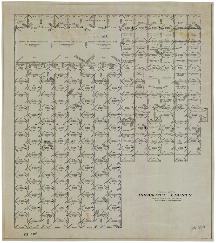
Working Sketch Crockett County

Print $20.00
- Digital $50.00
Working Sketch Crockett County
1924
Size 31.2 x 35.1 inches
Map/Doc 92608
Map of Blocks A, B and C in Parmer County, Texas showing a portion of the C. F. L. & I. Co's. XIT Lands


Print $20.00
- Digital $50.00
Map of Blocks A, B and C in Parmer County, Texas showing a portion of the C. F. L. & I. Co's. XIT Lands
1905
Size 24.2 x 29.4 inches
Map/Doc 91611
[Sketch showing the south half of the northeast quarter of the county showing surveys south of the Canadian River]
![93013, [Sketch showing the south half of the northeast quarter of the county showing surveys south of the Canadian River], Twichell Survey Records](https://historictexasmaps.com/wmedia_w700/maps/93013-1.tif.jpg)
![93013, [Sketch showing the south half of the northeast quarter of the county showing surveys south of the Canadian River], Twichell Survey Records](https://historictexasmaps.com/wmedia_w700/maps/93013-1.tif.jpg)
Print $20.00
- Digital $50.00
[Sketch showing the south half of the northeast quarter of the county showing surveys south of the Canadian River]
Size 19.7 x 10.2 inches
Map/Doc 93013
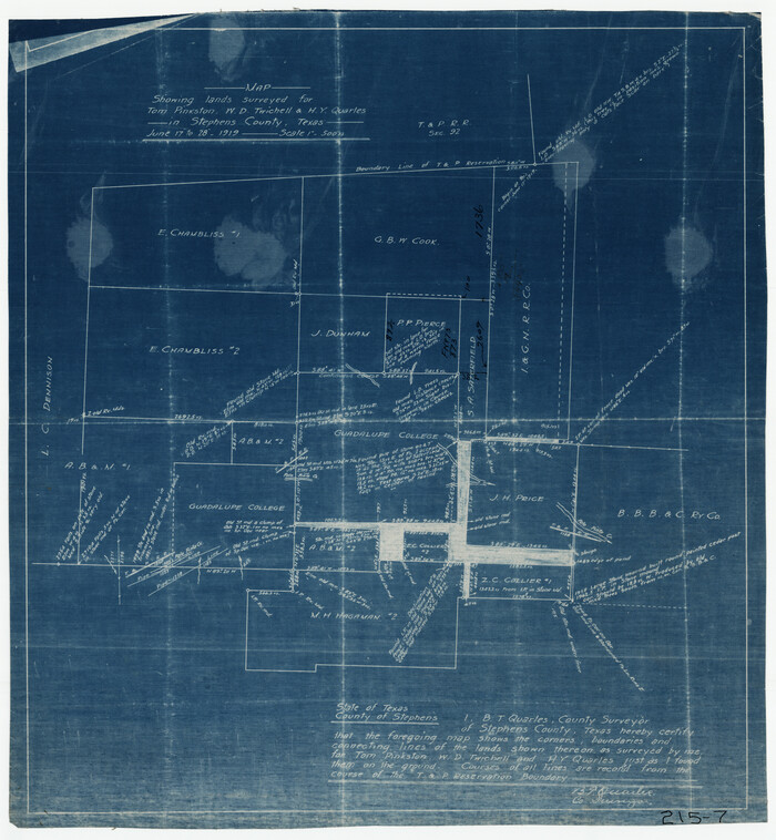
Map Showing Lands Surveyed for Tom Pinkston, W. D. Twichell and H. Y. Quarles in Stephens County, Texas

Print $20.00
- Digital $50.00
Map Showing Lands Surveyed for Tom Pinkston, W. D. Twichell and H. Y. Quarles in Stephens County, Texas
1919
Size 19.7 x 21.2 inches
Map/Doc 91892
[Blocks DT, P, CK, C2, and D7]
![91307, [Blocks DT, P, CK, C2, and D7], Twichell Survey Records](https://historictexasmaps.com/wmedia_w700/maps/91307-1.tif.jpg)
![91307, [Blocks DT, P, CK, C2, and D7], Twichell Survey Records](https://historictexasmaps.com/wmedia_w700/maps/91307-1.tif.jpg)
Print $20.00
- Digital $50.00
[Blocks DT, P, CK, C2, and D7]
Size 23.6 x 9.6 inches
Map/Doc 91307
[Leagues 589-598, 627-630, part of Black Water Pasture]
![90259, [Leagues 589-598, 627-630, part of Black Water Pasture], Twichell Survey Records](https://historictexasmaps.com/wmedia_w700/maps/90259-1.tif.jpg)
![90259, [Leagues 589-598, 627-630, part of Black Water Pasture], Twichell Survey Records](https://historictexasmaps.com/wmedia_w700/maps/90259-1.tif.jpg)
Print $3.00
- Digital $50.00
[Leagues 589-598, 627-630, part of Black Water Pasture]
Size 14.5 x 11.5 inches
Map/Doc 90259
[Blocks 11 and Z5]
![91716, [Blocks 11 and Z5], Twichell Survey Records](https://historictexasmaps.com/wmedia_w700/maps/91716-1.tif.jpg)
![91716, [Blocks 11 and Z5], Twichell Survey Records](https://historictexasmaps.com/wmedia_w700/maps/91716-1.tif.jpg)
Print $3.00
- Digital $50.00
[Blocks 11 and Z5]
1903
Size 10.8 x 10.7 inches
Map/Doc 91716
Section H Tech Memorial Park, Inc.


Print $20.00
- Digital $50.00
Section H Tech Memorial Park, Inc.
Size 18.0 x 11.3 inches
Map/Doc 92302
Working Sketch in Childress County


Print $20.00
- Digital $50.00
Working Sketch in Childress County
1910
Size 6.6 x 23.3 inches
Map/Doc 90425
'O Bar O' Ranch


Print $40.00
- Digital $50.00
'O Bar O' Ranch
1946
Size 47.8 x 82.6 inches
Map/Doc 93202
General Highway Map Bailey County, Texas


Print $20.00
- Digital $50.00
General Highway Map Bailey County, Texas
1948
Size 18.7 x 25.8 inches
Map/Doc 92533
[Section 114, Block Z2]
![90371, [Section 114, Block Z2], Twichell Survey Records](https://historictexasmaps.com/wmedia_w700/maps/90371-1.tif.jpg)
![90371, [Section 114, Block Z2], Twichell Survey Records](https://historictexasmaps.com/wmedia_w700/maps/90371-1.tif.jpg)
Print $2.00
- Digital $50.00
[Section 114, Block Z2]
1907
Size 8.9 x 10.1 inches
Map/Doc 90371
You may also like
Live Oak County Sketch File 24


Print $20.00
- Digital $50.00
Live Oak County Sketch File 24
1912
Size 20.0 x 19.6 inches
Map/Doc 12010
Runnels County Working Sketch 3


Print $20.00
- Digital $50.00
Runnels County Working Sketch 3
1888
Size 22.1 x 20.3 inches
Map/Doc 63599
Calhoun County NRC Article 33.136 Sketch 1


Print $42.00
- Digital $50.00
Calhoun County NRC Article 33.136 Sketch 1
2000
Size 16.8 x 21.7 inches
Map/Doc 61556
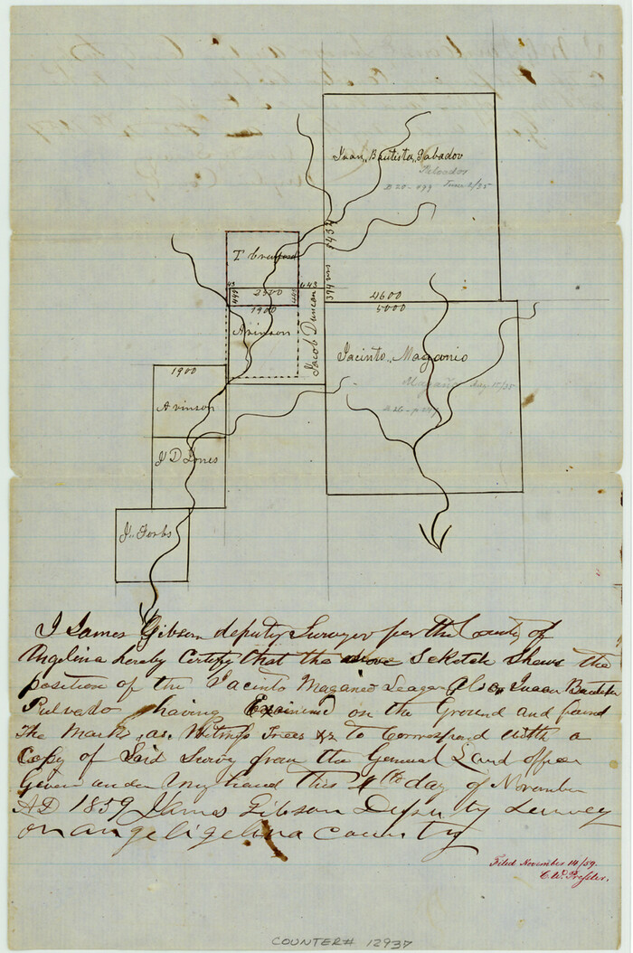
Angelina County Sketch File 11

Print $10.00
- Digital $50.00
Angelina County Sketch File 11
1859
Size 12.4 x 8.3 inches
Map/Doc 12937
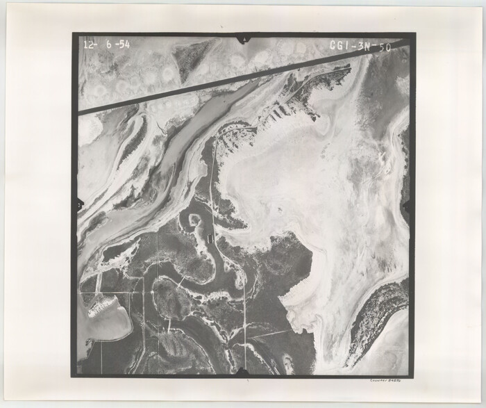
Flight Mission No. CGI-3N, Frame 50, Cameron County

Print $20.00
- Digital $50.00
Flight Mission No. CGI-3N, Frame 50, Cameron County
1954
Size 18.6 x 22.2 inches
Map/Doc 84556
Aransas County NRC Article 33.136 Sketch 14
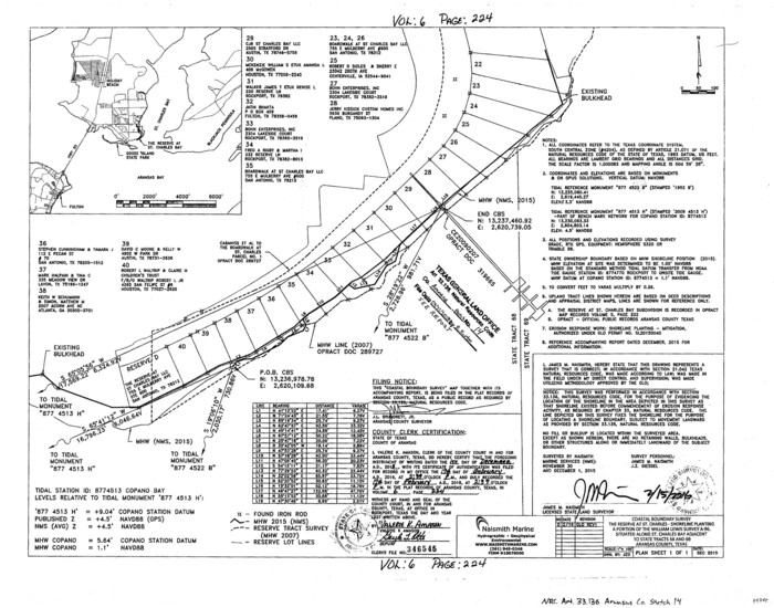

Print $36.00
- Digital $50.00
Aransas County NRC Article 33.136 Sketch 14
2016
Size 18.0 x 24.0 inches
Map/Doc 94795
Upshur County Working Sketch 1


Print $20.00
- Digital $50.00
Upshur County Working Sketch 1
1934
Size 28.9 x 32.6 inches
Map/Doc 69557
Cherokee County Working Sketch 17
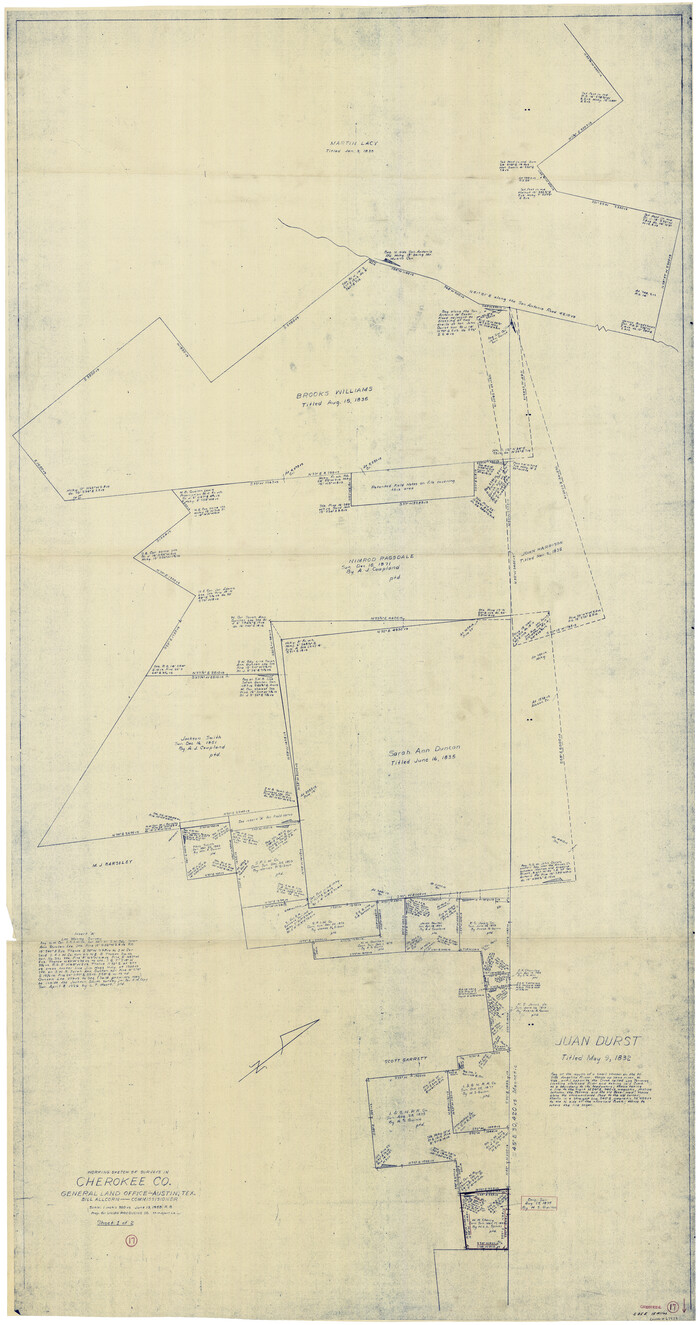

Print $40.00
- Digital $50.00
Cherokee County Working Sketch 17
1958
Size 81.6 x 43.3 inches
Map/Doc 67972
Bailey County Sketch File 15


Print $18.00
- Digital $50.00
Bailey County Sketch File 15
1912
Size 8.7 x 11.2 inches
Map/Doc 13975
Flight Mission No. DCL-7C, Frame 124, Kenedy County
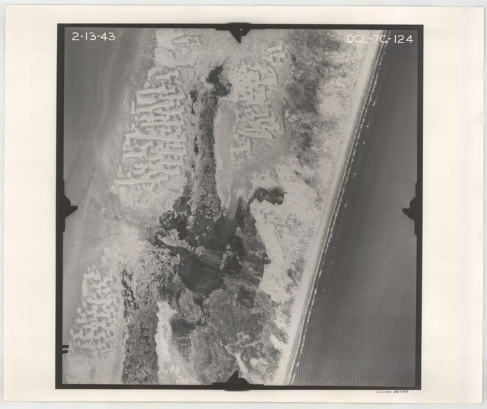

Print $20.00
- Digital $50.00
Flight Mission No. DCL-7C, Frame 124, Kenedy County
1943
Size 18.6 x 22.2 inches
Map/Doc 86089
[T. & P. Block 36, Townships 3N - 5N]
![90552, [T. & P. Block 36, Townships 3N - 5N], Twichell Survey Records](https://historictexasmaps.com/wmedia_w700/maps/90552.tif.jpg)
![90552, [T. & P. Block 36, Townships 3N - 5N], Twichell Survey Records](https://historictexasmaps.com/wmedia_w700/maps/90552.tif.jpg)
Print $20.00
- Digital $50.00
[T. & P. Block 36, Townships 3N - 5N]
Size 15.5 x 47.8 inches
Map/Doc 90552
![92968, [Coleman and McCullogh County Drilling Block], Twichell Survey Records](https://historictexasmaps.com/wmedia_w1800h1800/maps/92968-1.tif.jpg)
