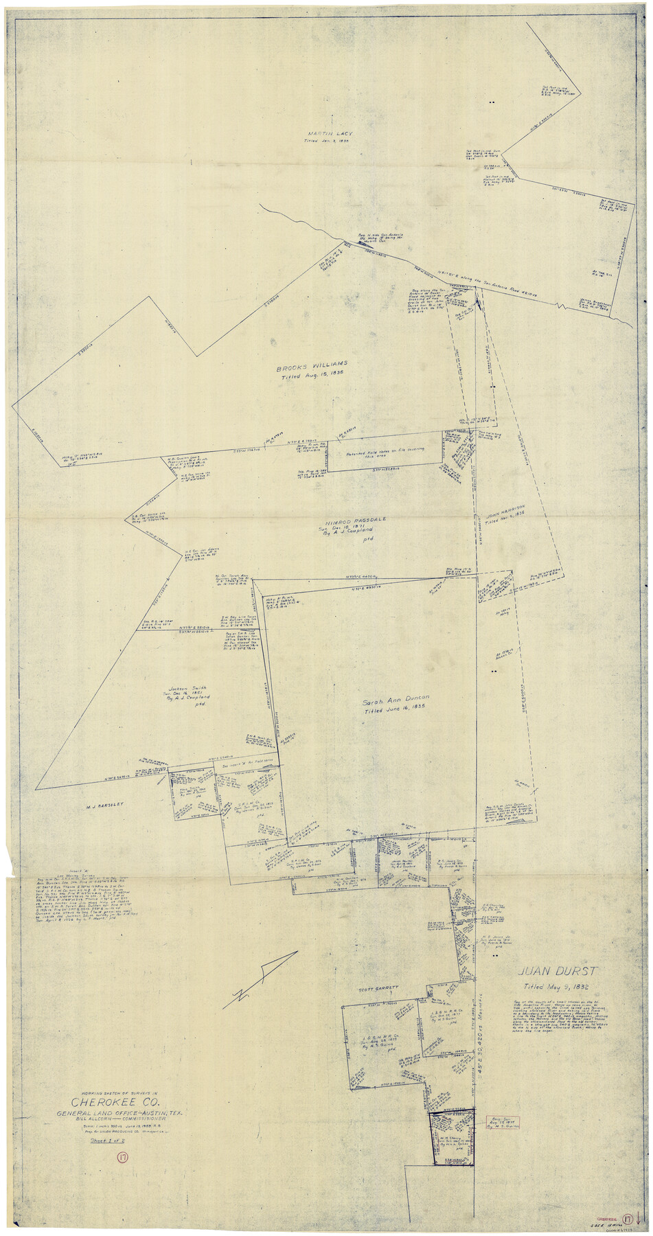
Cherokee County Working Sketch 17
-
Map/Doc
67972
-
Collection
General Map Collection
-
Object Dates
6/13/1958 (Creation Date)
-
Counties
Cherokee
-
Subjects
Surveying Working Sketch
-
Height x Width
81.6 x 43.3 inches
207.3 x 110.0 cm
-
Scale
1" = 300 varas
Part of: General Map Collection
Map of Comanche County

Print $20.00
- Digital $50.00
Map of Comanche County
1884
Size 20.9 x 26.5 inches
Map/Doc 3434
Lynn County Sketch File 12

Print $4.00
- Digital $50.00
Lynn County Sketch File 12
1907
Size 7.5 x 8.7 inches
Map/Doc 30480
Presidio County Working Sketch 95

Print $40.00
- Digital $50.00
Presidio County Working Sketch 95
1976
Size 62.8 x 32.0 inches
Map/Doc 71772
Brown County Working Sketch Graphic Index

Print $20.00
- Digital $50.00
Brown County Working Sketch Graphic Index
1944
Size 47.6 x 37.1 inches
Map/Doc 76480
Harrison County Sketch File 22

Print $20.00
- Digital $50.00
Harrison County Sketch File 22
1917
Size 24.6 x 23.4 inches
Map/Doc 11695
Edwards County Working Sketch 12

Print $20.00
- Digital $50.00
Edwards County Working Sketch 12
1922
Size 26.2 x 26.7 inches
Map/Doc 68888
[F. W. & D. C. Ry. Co. Alignment and Right of Way Map, Clay County]
![64726, [F. W. & D. C. Ry. Co. Alignment and Right of Way Map, Clay County], General Map Collection](https://historictexasmaps.com/wmedia_w700/maps/64726-1.tif.jpg)
Print $20.00
- Digital $50.00
[F. W. & D. C. Ry. Co. Alignment and Right of Way Map, Clay County]
1927
Size 18.6 x 11.8 inches
Map/Doc 64726
Loving County Sketch File 1

Print $4.00
- Digital $50.00
Loving County Sketch File 1
1931
Size 11.2 x 8.6 inches
Map/Doc 30407
McLennan County Boundary File 1

Print $80.00
- Digital $50.00
McLennan County Boundary File 1
Size 19.4 x 12.3 inches
Map/Doc 56937
Map of Smith County

Print $20.00
- Digital $50.00
Map of Smith County
1872
Size 20.0 x 20.6 inches
Map/Doc 4625
[Nueces Bay, Mustang Island and Padre Island]
![73465, [Nueces Bay, Mustang Island and Padre Island], General Map Collection](https://historictexasmaps.com/wmedia_w700/maps/73465.tif.jpg)
Print $4.00
- Digital $50.00
[Nueces Bay, Mustang Island and Padre Island]
Size 18.1 x 24.7 inches
Map/Doc 73465
Freestone County Working Sketch 15

Print $40.00
- Digital $50.00
Freestone County Working Sketch 15
1980
Size 56.5 x 33.7 inches
Map/Doc 69257
You may also like
Bandera County Boundary File 2

Print $4.00
- Digital $50.00
Bandera County Boundary File 2
Size 9.1 x 7.5 inches
Map/Doc 50264
[Map showing T&P Lands in El Paso County]
![88938, [Map showing T&P Lands in El Paso County], Library of Congress](https://historictexasmaps.com/wmedia_w700/maps/88938.tif.jpg)
Print $20.00
[Map showing T&P Lands in El Paso County]
Size 22.4 x 17.2 inches
Map/Doc 88938
Amistad International Reservoir on Rio Grande 81

Print $20.00
- Digital $50.00
Amistad International Reservoir on Rio Grande 81
1949
Size 28.6 x 40.2 inches
Map/Doc 75510
Palo Pinto County Sketch File 22

Print $20.00
- Digital $50.00
Palo Pinto County Sketch File 22
1939
Size 19.6 x 15.0 inches
Map/Doc 12134
Real County Working Sketch 84

Print $20.00
- Digital $50.00
Real County Working Sketch 84
1986
Size 25.0 x 40.7 inches
Map/Doc 71976
Terrell County Rolled Sketch 24

Print $20.00
- Digital $50.00
Terrell County Rolled Sketch 24
Size 19.7 x 25.7 inches
Map/Doc 7931
Flight Mission No. DCL-7C, Frame 65, Kenedy County

Print $20.00
- Digital $50.00
Flight Mission No. DCL-7C, Frame 65, Kenedy County
1943
Size 18.5 x 22.3 inches
Map/Doc 86051
Crockett County Working Sketch 94

Print $20.00
- Digital $50.00
Crockett County Working Sketch 94
1979
Size 43.1 x 28.7 inches
Map/Doc 68427
Map of the Country upon the Brazos and Big Witchita Rivers Explored in 1854 by Capt. R.B. Marcy 5th U.S. Infy. Embracing the Lands appropriated by the State of Texas for the Use of the Indians

Print $20.00
- Digital $50.00
Map of the Country upon the Brazos and Big Witchita Rivers Explored in 1854 by Capt. R.B. Marcy 5th U.S. Infy. Embracing the Lands appropriated by the State of Texas for the Use of the Indians
Size 29.6 x 33.8 inches
Map/Doc 93999
Flight Mission No. BRA-8M, Frame 81, Jefferson County

Print $20.00
- Digital $50.00
Flight Mission No. BRA-8M, Frame 81, Jefferson County
1953
Size 16.0 x 15.8 inches
Map/Doc 85601
Kinney County Working Sketch 29

Print $20.00
- Digital $50.00
Kinney County Working Sketch 29
1959
Size 37.8 x 33.8 inches
Map/Doc 70211
Map of Capitol Leagues Situated in Hockley and Lamb Counties, Texas

Print $20.00
- Digital $50.00
Map of Capitol Leagues Situated in Hockley and Lamb Counties, Texas
Size 18.5 x 26.1 inches
Map/Doc 92205