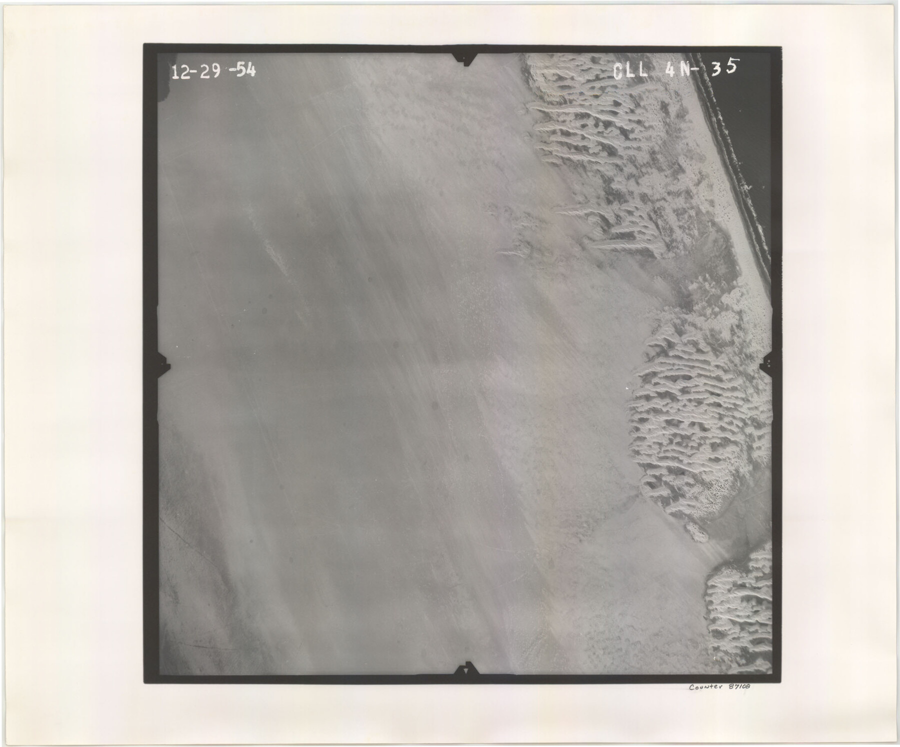
Flight Mission No. CLL-4N, Frame 35, Willacy County
CLL-4N-35
-
Map/Doc
87108
-
Collection
General Map Collection
-
Object Dates
1954/12/29 (Creation Date)
-
People and Organizations
U. S. Department of Agriculture (Publisher)
-
Counties
Willacy
-
Subjects
Aerial Photograph
-
Height x Width
18.3 x 22.0 inches
46.5 x 55.9 cm
-
Comments
Flown by Puckett Aerial Surveys, Inc. of Jackson, Mississippi.
Part of: General Map Collection
Map of the chief part of the Western States and part of Virginia engraved to illustrate Mitchell's school and family geography

Print $20.00
- Digital $50.00
Map of the chief part of the Western States and part of Virginia engraved to illustrate Mitchell's school and family geography
1839
Size 11.8 x 17.8 inches
Map/Doc 93499
Nolan County Boundary File 1a

Print $22.00
- Digital $50.00
Nolan County Boundary File 1a
Size 8.9 x 8.2 inches
Map/Doc 57647
Morris County Rolled Sketch 2A

Print $20.00
- Digital $50.00
Morris County Rolled Sketch 2A
Size 24.0 x 18.8 inches
Map/Doc 10275
Armstrong County Boundary File 1b

Print $12.00
- Digital $50.00
Armstrong County Boundary File 1b
Size 14.1 x 8.7 inches
Map/Doc 50126
Hall County Sketch File 18

Print $20.00
- Digital $50.00
Hall County Sketch File 18
Size 16.8 x 35.1 inches
Map/Doc 11609
La Salle County Rolled Sketch 6

Print $40.00
- Digital $50.00
La Salle County Rolled Sketch 6
1941
Size 43.0 x 66.0 inches
Map/Doc 10738
Harris County Boundary File 39 (21)

Print $6.00
- Digital $50.00
Harris County Boundary File 39 (21)
Size 10.2 x 8.1 inches
Map/Doc 54365
Travis County Rolled Sketch 32A

Print $40.00
- Digital $50.00
Travis County Rolled Sketch 32A
Size 57.6 x 37.3 inches
Map/Doc 10013
No. 2 Chart of Corpus Christi Pass, Texas

Print $20.00
- Digital $50.00
No. 2 Chart of Corpus Christi Pass, Texas
1878
Size 18.4 x 27.5 inches
Map/Doc 73023
Flight Mission No. DIX-8P, Frame 90, Aransas County

Print $20.00
- Digital $50.00
Flight Mission No. DIX-8P, Frame 90, Aransas County
1956
Size 18.6 x 22.4 inches
Map/Doc 83915
Culberson County Working Sketch 60

Print $40.00
- Digital $50.00
Culberson County Working Sketch 60
1974
Size 74.7 x 32.7 inches
Map/Doc 68514
Map of Neches River, Texas from Sabine Lake to Beaumont, Texas

Print $40.00
- Digital $50.00
Map of Neches River, Texas from Sabine Lake to Beaumont, Texas
1910
Size 32.4 x 104.0 inches
Map/Doc 2465
You may also like
[North part of G. C. & S. F. Block OP, Runnels County School Land]
![90309, [North part of G. C. & S. F. Block OP, Runnels County School Land], Twichell Survey Records](https://historictexasmaps.com/wmedia_w700/maps/90309-1.tif.jpg)
Print $20.00
- Digital $50.00
[North part of G. C. & S. F. Block OP, Runnels County School Land]
Size 14.3 x 17.6 inches
Map/Doc 90309
La Salle County Working Sketch 54

Print $20.00
- Digital $50.00
La Salle County Working Sketch 54
2009
Size 23.2 x 46.2 inches
Map/Doc 89048
[Leagues 116 through 161, Leagues 165, 181, and 182]
![92484, [Leagues 116 through 161, Leagues 165, 181, and 182], Twichell Survey Records](https://historictexasmaps.com/wmedia_w700/maps/92484-1.tif.jpg)
Print $20.00
- Digital $50.00
[Leagues 116 through 161, Leagues 165, 181, and 182]
Size 17.8 x 23.7 inches
Map/Doc 92484
Comal County Sketch File 11

Print $4.00
- Digital $50.00
Comal County Sketch File 11
1848
Size 12.8 x 8.5 inches
Map/Doc 19022
Hudspeth County Sketch File 4-5-6

Print $2.00
- Digital $50.00
Hudspeth County Sketch File 4-5-6
Size 8.8 x 8.1 inches
Map/Doc 26891
University Land Field Notes for Blocks 21 through 26 in Pecos County

University Land Field Notes for Blocks 21 through 26 in Pecos County
Map/Doc 81722
Flight Mission No. DAH-10M, Frame 41, Orange County

Print $20.00
- Digital $50.00
Flight Mission No. DAH-10M, Frame 41, Orange County
1953
Size 18.7 x 22.5 inches
Map/Doc 86876
Ellwood Ranch and Adjacent Property in Mitchell, Coke & Sterling Counties, Texas

Print $20.00
- Digital $50.00
Ellwood Ranch and Adjacent Property in Mitchell, Coke & Sterling Counties, Texas
1925
Size 17.6 x 27.8 inches
Map/Doc 91884
Bexar County Working Sketch Graphic Index

Print $20.00
- Digital $50.00
Bexar County Working Sketch Graphic Index
1932
Size 47.9 x 42.6 inches
Map/Doc 76466
[Galveston, Harrisburg & San Antonio Railroad from Cuero to Stockdale]
![64189, [Galveston, Harrisburg & San Antonio Railroad from Cuero to Stockdale], General Map Collection](https://historictexasmaps.com/wmedia_w700/maps/64189.tif.jpg)
Print $20.00
- Digital $50.00
[Galveston, Harrisburg & San Antonio Railroad from Cuero to Stockdale]
1907
Size 13.8 x 34.0 inches
Map/Doc 64189
Pecos County Rolled Sketch 126

Print $20.00
- Digital $50.00
Pecos County Rolled Sketch 126
1948
Size 42.5 x 38.4 inches
Map/Doc 9724
Schleicher County Sketch File 29

Print $44.00
- Digital $50.00
Schleicher County Sketch File 29
1940
Size 31.9 x 23.7 inches
Map/Doc 12306