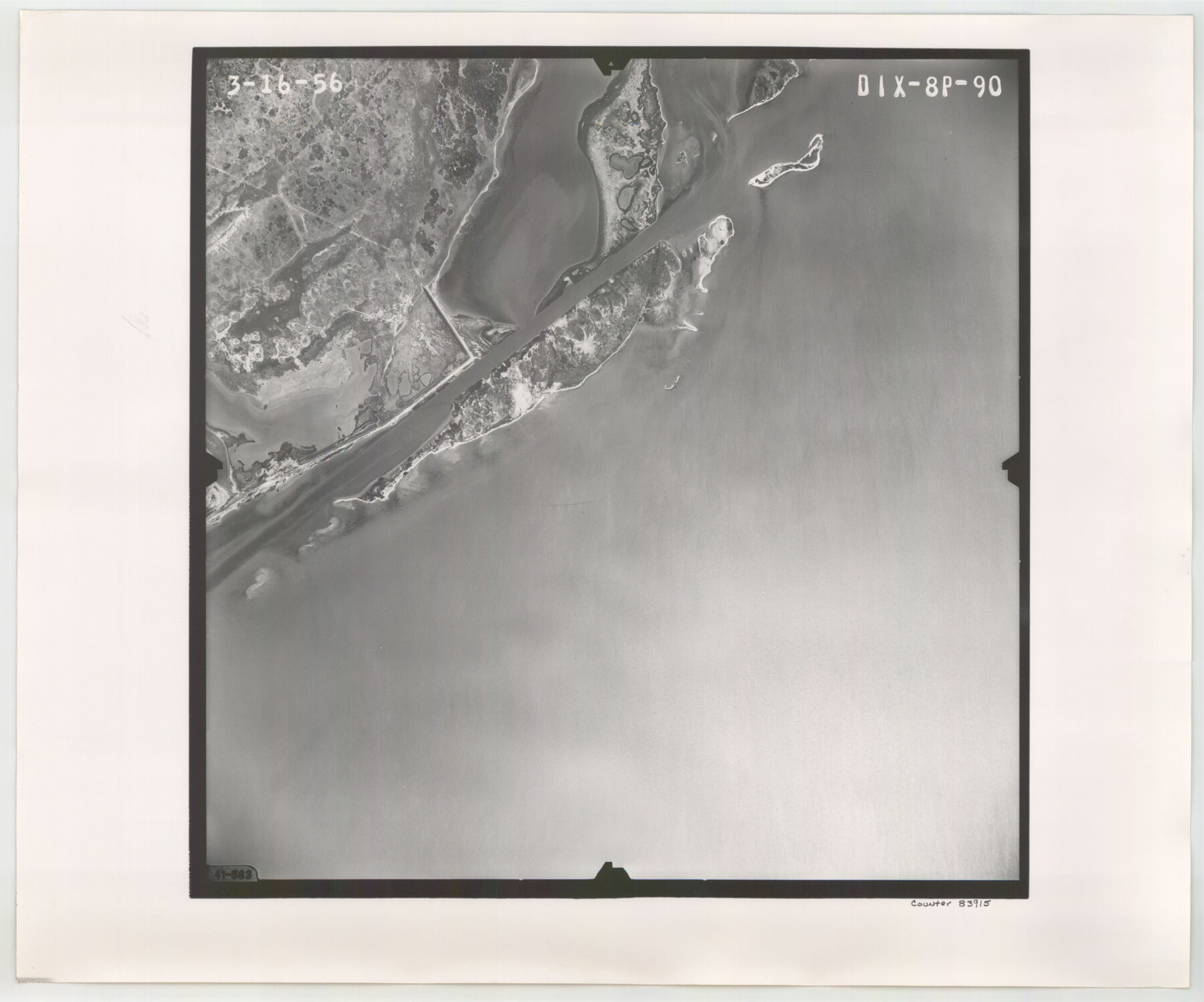
Flight Mission No. DIX-8P, Frame 90, Aransas County
DIX-8P-90
-
Map/Doc
83915
-
Collection
General Map Collection
-
Object Dates
1956/3/16 (Creation Date)
-
People and Organizations
U. S. Department of Agriculture (Publisher)
-
Counties
Aransas
-
Subjects
Aerial Photograph
-
Height x Width
18.6 x 22.4 inches
47.2 x 56.9 cm
-
Comments
Flown by V. L. Beavers and Associates of San Antonio, Texas.
Part of: General Map Collection
Sulphur River, Bassett Sheet

Print $6.00
- Digital $50.00
Sulphur River, Bassett Sheet
1939
Size 23.9 x 31.2 inches
Map/Doc 65176
Flight Mission No. DQN-3K, Frame 51, Calhoun County

Print $20.00
- Digital $50.00
Flight Mission No. DQN-3K, Frame 51, Calhoun County
1953
Size 18.5 x 22.2 inches
Map/Doc 84352
Camp County Working Sketch 1

Print $20.00
- Digital $50.00
Camp County Working Sketch 1
1970
Size 32.9 x 29.7 inches
Map/Doc 67877
Map of Liberty County

Print $40.00
- Digital $50.00
Map of Liberty County
1841
Size 60.1 x 37.3 inches
Map/Doc 1951
Angelina County Sketch File 28a

Print $14.00
- Digital $50.00
Angelina County Sketch File 28a
1910
Size 6.8 x 8.7 inches
Map/Doc 13080
Hays County Working Sketch 3

Print $20.00
- Digital $50.00
Hays County Working Sketch 3
1925
Size 28.2 x 24.1 inches
Map/Doc 66077
Flight Mission No. BRE-2P, Frame 54, Nueces County

Print $20.00
- Digital $50.00
Flight Mission No. BRE-2P, Frame 54, Nueces County
1956
Size 18.5 x 22.4 inches
Map/Doc 86756
Polk County Sketch File 26

Print $12.00
- Digital $50.00
Polk County Sketch File 26
1889
Size 8.5 x 7.1 inches
Map/Doc 34183

[Portion of Harris County]
![78482, [Portion of Harris County], General Map Collection](https://historictexasmaps.com/wmedia_w700/maps/78482.tif.jpg)
Print $2.00
- Digital $50.00
[Portion of Harris County]
Size 9.8 x 7.2 inches
Map/Doc 78482
Spanish Dominions in North America, Northern Part

Print $20.00
- Digital $50.00
Spanish Dominions in North America, Northern Part
1811
Size 22.1 x 30.5 inches
Map/Doc 95133
Galveston County NRC Article 33.136 Sketch 95

Print $40.00
Galveston County NRC Article 33.136 Sketch 95
2024
Map/Doc 97368
You may also like
Hudspeth County Rolled Sketch 60

Print $20.00
- Digital $50.00
Hudspeth County Rolled Sketch 60
1982
Size 43.4 x 44.4 inches
Map/Doc 9225
Liberty County Working Sketch 17

Print $20.00
- Digital $50.00
Liberty County Working Sketch 17
1934
Size 34.5 x 24.0 inches
Map/Doc 70476
McMullen County Rolled Sketch 18

Print $20.00
- Digital $50.00
McMullen County Rolled Sketch 18
Size 18.8 x 27.5 inches
Map/Doc 6734
Franklin County Boundary File 1

Print $8.00
- Digital $50.00
Franklin County Boundary File 1
Size 12.9 x 8.1 inches
Map/Doc 53569
Outer Continental Shelf Leasing Maps (Texas Offshore Operations)

Print $20.00
- Digital $50.00
Outer Continental Shelf Leasing Maps (Texas Offshore Operations)
1954
Size 14.6 x 15.6 inches
Map/Doc 75836
Ward County Working Sketch 33

Print $20.00
- Digital $50.00
Ward County Working Sketch 33
1968
Size 26.3 x 32.3 inches
Map/Doc 72339
Chambers County Sketch File 21a

Print $2.00
- Digital $50.00
Chambers County Sketch File 21a
1867
Size 10.2 x 6.6 inches
Map/Doc 17593
Maps of Gulf Intracoastal Waterway, Texas - Sabine River to the Rio Grande and connecting waterways including ship channels

Print $20.00
- Digital $50.00
Maps of Gulf Intracoastal Waterway, Texas - Sabine River to the Rio Grande and connecting waterways including ship channels
1966
Size 14.6 x 22.3 inches
Map/Doc 61954
Coryell County Boundary File 4

Print $4.00
- Digital $50.00
Coryell County Boundary File 4
Size 11.2 x 8.7 inches
Map/Doc 51930
Garza County Rolled Sketch R-2

Print $40.00
- Digital $50.00
Garza County Rolled Sketch R-2
Size 36.0 x 50.2 inches
Map/Doc 9046
Castro County Sketch File 8

Print $20.00
- Digital $50.00
Castro County Sketch File 8
1908
Size 27.2 x 24.0 inches
Map/Doc 11060
[Beaumont, Sour Lake and Western Ry. Right of Way and Alignment - Frisco]
![64130, [Beaumont, Sour Lake and Western Ry. Right of Way and Alignment - Frisco], General Map Collection](https://historictexasmaps.com/wmedia_w700/maps/64130.tif.jpg)
Print $20.00
- Digital $50.00
[Beaumont, Sour Lake and Western Ry. Right of Way and Alignment - Frisco]
1910
Size 20.3 x 45.9 inches
Map/Doc 64130