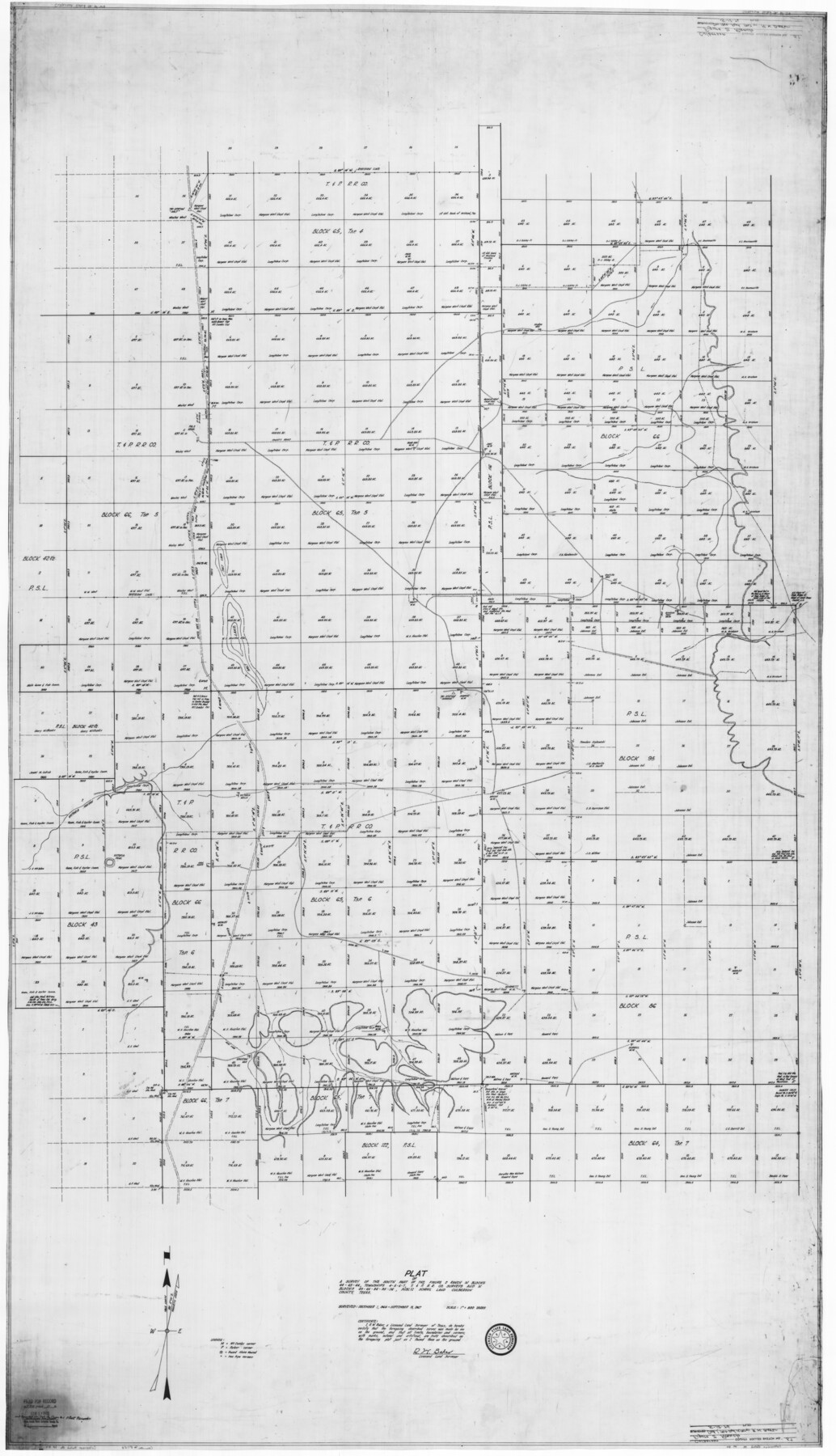
Culberson County Rolled Sketch 57
Figure 2 Ranch, Culberson County, Texas
-
Map/Doc
8758
-
Collection
General Map Collection
-
Object Dates
1967 (Creation Date)
1976/5/12 (File Date)
-
People and Organizations
R.W. Baker (Surveyor/Engineer)
-
Counties
Culberson
-
Subjects
Surveying Rolled Sketch
-
Height x Width
76.9 x 44.2 inches
195.3 x 112.3 cm
Part of: General Map Collection
Northwest Part Crockett County

Print $40.00
- Digital $50.00
Northwest Part Crockett County
1983
Size 37.3 x 48.3 inches
Map/Doc 95470
Reagan County Rolled Sketch 33

Print $40.00
- Digital $50.00
Reagan County Rolled Sketch 33
Size 32.0 x 48.0 inches
Map/Doc 9828
Ward County Working Sketch 43

Print $40.00
- Digital $50.00
Ward County Working Sketch 43
Size 57.3 x 36.8 inches
Map/Doc 72349
Jackson County Sketch File 26

Print $20.00
- Digital $50.00
Jackson County Sketch File 26
1942
Size 24.9 x 21.8 inches
Map/Doc 11846
Jefferson County Working Sketch 27

Print $40.00
- Digital $50.00
Jefferson County Working Sketch 27
1977
Size 43.2 x 49.4 inches
Map/Doc 66570
Val Verde County Sketch File 38

Print $44.00
- Digital $50.00
Val Verde County Sketch File 38
1938
Size 17.6 x 17.2 inches
Map/Doc 12579
Hale County Rolled Sketch 8

Print $20.00
- Digital $50.00
Hale County Rolled Sketch 8
1910
Size 38.0 x 25.9 inches
Map/Doc 6046
Map of Corpus Christi Bay in Nueces County Showing Subdivision Thereof for Mineral Development

Print $40.00
- Digital $50.00
Map of Corpus Christi Bay in Nueces County Showing Subdivision Thereof for Mineral Development
1946
Size 55.9 x 43.3 inches
Map/Doc 2942
Webb County Working Sketch 49

Print $20.00
- Digital $50.00
Webb County Working Sketch 49
1949
Size 22.7 x 27.8 inches
Map/Doc 72414
Map of Cottle County

Print $20.00
- Digital $50.00
Map of Cottle County
1893
Size 23.1 x 19.4 inches
Map/Doc 3451
Flight Mission No. DAG-14K, Frame 144, Matagorda County

Print $20.00
- Digital $50.00
Flight Mission No. DAG-14K, Frame 144, Matagorda County
1952
Size 17.2 x 17.2 inches
Map/Doc 86311
Trinity River, Wire Bridge Sheet/Denton Creek

Print $6.00
- Digital $50.00
Trinity River, Wire Bridge Sheet/Denton Creek
1938
Size 30.4 x 29.7 inches
Map/Doc 65244
You may also like
Polk County Sketch File 11

Print $4.00
- Digital $50.00
Polk County Sketch File 11
Size 9.2 x 8.1 inches
Map/Doc 34142

Val Verde County Sketch File Z5

Print $20.00
- Digital $50.00
Val Verde County Sketch File Z5
Size 32.3 x 26.1 inches
Map/Doc 12551
Crosby County Sketch File 11a

Print $10.00
- Digital $50.00
Crosby County Sketch File 11a
1894
Size 8.7 x 4.4 inches
Map/Doc 20029
Maps of Gulf Intracoastal Waterway, Texas - Sabine River to the Rio Grande and connecting waterways including ship channels

Print $20.00
- Digital $50.00
Maps of Gulf Intracoastal Waterway, Texas - Sabine River to the Rio Grande and connecting waterways including ship channels
1966
Size 14.6 x 22.2 inches
Map/Doc 61961
Orange County Sketch File 8

Print $6.00
- Digital $50.00
Orange County Sketch File 8
Size 11.0 x 16.1 inches
Map/Doc 33311
[Copy of a portion of] The Coast & Bays of Western Texas, St. Joseph's and Mustang Islands from Actual Survey, the Remainder from County Maps, Etc.
![72769, [Copy of a portion of] The Coast & Bays of Western Texas, St. Joseph's and Mustang Islands from Actual Survey, the Remainder from County Maps, Etc., General Map Collection](https://historictexasmaps.com/wmedia_w700/maps/72769.tif.jpg)
Print $20.00
- Digital $50.00
[Copy of a portion of] The Coast & Bays of Western Texas, St. Joseph's and Mustang Islands from Actual Survey, the Remainder from County Maps, Etc.
1857
Size 25.9 x 18.3 inches
Map/Doc 72769
Flight Mission No. DCL-6C, Frame 15, Kenedy County

Print $20.00
- Digital $50.00
Flight Mission No. DCL-6C, Frame 15, Kenedy County
1943
Size 18.7 x 22.4 inches
Map/Doc 85872
El Paso County Working Sketch 53

Print $20.00
- Digital $50.00
El Paso County Working Sketch 53
1992
Size 22.8 x 28.9 inches
Map/Doc 69075
Upshur County Working Sketch 14

Print $20.00
- Digital $50.00
Upshur County Working Sketch 14
1993
Size 23.1 x 37.1 inches
Map/Doc 69571
Webb County Working Sketch 34

Print $20.00
- Digital $50.00
Webb County Working Sketch 34
1938
Size 23.8 x 24.3 inches
Map/Doc 72399
Kleberg County Rolled Sketch 6

Print $20.00
- Digital $50.00
Kleberg County Rolled Sketch 6
Size 11.1 x 13.0 inches
Map/Doc 9359