[Sketch showing PSL Blocks A13, A25-A27, A30-A32, A37, A38, A47-A49 & N/L Univ. Blk. 11]
2-6
-
Map/Doc
89738
-
Collection
Twichell Survey Records
-
Counties
Andrews
-
Height x Width
23.6 x 62.4 inches
59.9 x 158.5 cm
Part of: Twichell Survey Records
Carter-Coffey Addition, Part of Section 77, Block A


Print $20.00
- Digital $50.00
Carter-Coffey Addition, Part of Section 77, Block A
Size 30.0 x 9.8 inches
Map/Doc 92766
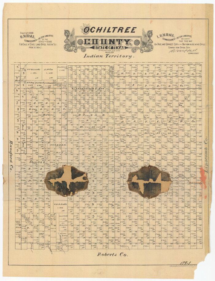
Ochiltree County

Print $20.00
- Digital $50.00
Ochiltree County
1888
Size 17.3 x 22.6 inches
Map/Doc 91401
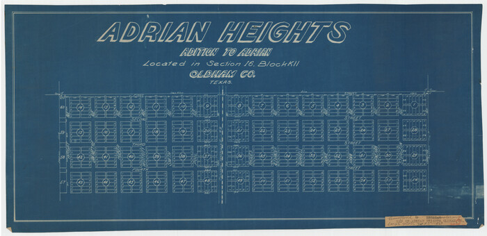
Adrian Heights Adition (sic) to Adrian Located in Section 16, Block K11

Print $2.00
- Digital $50.00
Adrian Heights Adition (sic) to Adrian Located in Section 16, Block K11
Size 15.6 x 7.6 inches
Map/Doc 92097
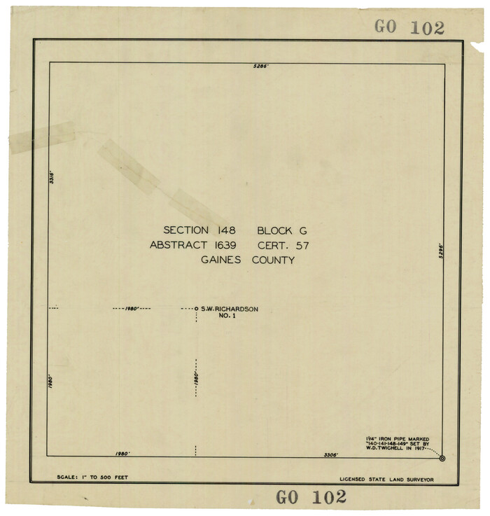
Section 148 Block G Abstract 1639 Cert. 57 Gaines County

Print $20.00
- Digital $50.00
Section 148 Block G Abstract 1639 Cert. 57 Gaines County
Size 13.0 x 13.7 inches
Map/Doc 93228
[Worksheets related to the Wilson Strickland survey and vicinity]
![91383, [Worksheets related to the Wilson Strickland survey and vicinity], Twichell Survey Records](https://historictexasmaps.com/wmedia_w700/maps/91383-1.tif.jpg)
![91383, [Worksheets related to the Wilson Strickland survey and vicinity], Twichell Survey Records](https://historictexasmaps.com/wmedia_w700/maps/91383-1.tif.jpg)
Print $20.00
- Digital $50.00
[Worksheets related to the Wilson Strickland survey and vicinity]
Size 36.0 x 15.7 inches
Map/Doc 91383
[South line of Blocks B24, B25, and B26]
![90463, [South line of Blocks B24, B25, and B26], Twichell Survey Records](https://historictexasmaps.com/wmedia_w700/maps/90463-1.tif.jpg)
![90463, [South line of Blocks B24, B25, and B26], Twichell Survey Records](https://historictexasmaps.com/wmedia_w700/maps/90463-1.tif.jpg)
Print $2.00
- Digital $50.00
[South line of Blocks B24, B25, and B26]
1936
Size 14.6 x 9.0 inches
Map/Doc 90463
Map Showing Corrections of Capitol Leagues in Conflict in Oldham Co.


Print $40.00
- Digital $50.00
Map Showing Corrections of Capitol Leagues in Conflict in Oldham Co.
1886
Size 52.5 x 31.3 inches
Map/Doc 89800
[Lynn County School Land Leagues 292, 293, PSL Block C-30, and D. W. RR. Co. Block H]
![90797, [Lynn County School Land Leagues 292, 293, PSL Block C-30, and D. W. RR. Co. Block H], Twichell Survey Records](https://historictexasmaps.com/wmedia_w700/maps/90797-1.tif.jpg)
![90797, [Lynn County School Land Leagues 292, 293, PSL Block C-30, and D. W. RR. Co. Block H], Twichell Survey Records](https://historictexasmaps.com/wmedia_w700/maps/90797-1.tif.jpg)
Print $20.00
- Digital $50.00
[Lynn County School Land Leagues 292, 293, PSL Block C-30, and D. W. RR. Co. Block H]
Size 21.3 x 20.6 inches
Map/Doc 90797
[Surveys in Southeast part of Stephens County]
![91909, [Surveys in Southeast part of Stephens County], Twichell Survey Records](https://historictexasmaps.com/wmedia_w700/maps/91909-1.tif.jpg)
![91909, [Surveys in Southeast part of Stephens County], Twichell Survey Records](https://historictexasmaps.com/wmedia_w700/maps/91909-1.tif.jpg)
Print $2.00
- Digital $50.00
[Surveys in Southeast part of Stephens County]
Size 9.1 x 7.0 inches
Map/Doc 91909
[John Walker, south part B9 and vicinity]
![90330, [John Walker, south part B9 and vicinity], Twichell Survey Records](https://historictexasmaps.com/wmedia_w700/maps/90330-1.tif.jpg)
![90330, [John Walker, south part B9 and vicinity], Twichell Survey Records](https://historictexasmaps.com/wmedia_w700/maps/90330-1.tif.jpg)
Print $20.00
- Digital $50.00
[John Walker, south part B9 and vicinity]
Size 32.7 x 24.1 inches
Map/Doc 90330
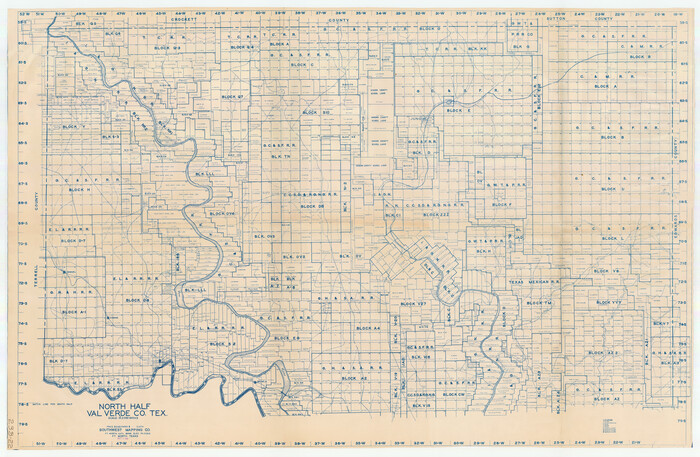
North Half of Val Verde Co., Tex.

Print $40.00
- Digital $50.00
North Half of Val Verde Co., Tex.
1948
Size 66.0 x 43.1 inches
Map/Doc 89809
Hockley County


Print $20.00
- Digital $50.00
Hockley County
1914
Size 22.3 x 25.9 inches
Map/Doc 92244
You may also like
Brazoria County Sketch File 56


Print $109.00
- Digital $50.00
Brazoria County Sketch File 56
1986
Size 10.4 x 7.5 inches
Map/Doc 15327
Revised Map of Austin, Texas
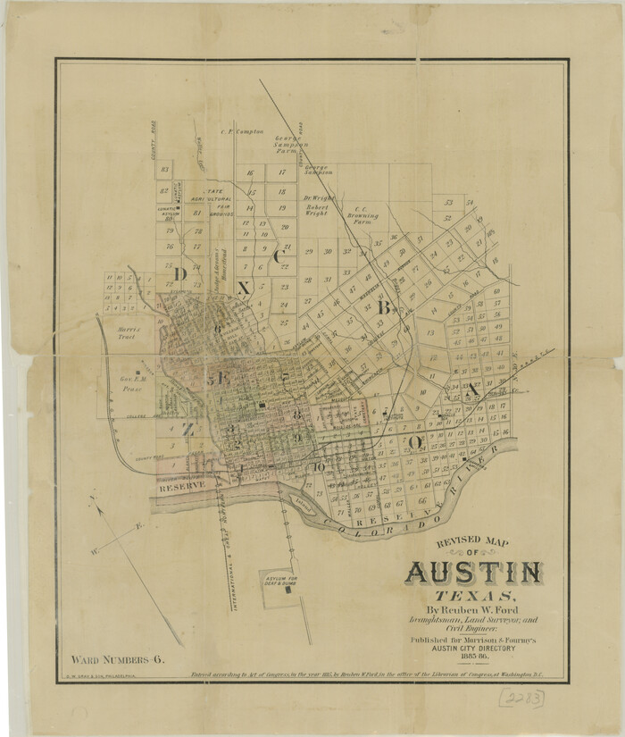

Print $20.00
Revised Map of Austin, Texas
1885
Size 16.5 x 14.0 inches
Map/Doc 76272
Runnels County Rolled Sketch 29

Print $20.00
- Digital $50.00
Runnels County Rolled Sketch 29
1928
Size 19.6 x 37.0 inches
Map/Doc 7517
Roberts County Sketch File 1

Print $20.00
- Digital $50.00
Roberts County Sketch File 1
Size 39.2 x 22.3 inches
Map/Doc 10589
Travis County Sketch File 38
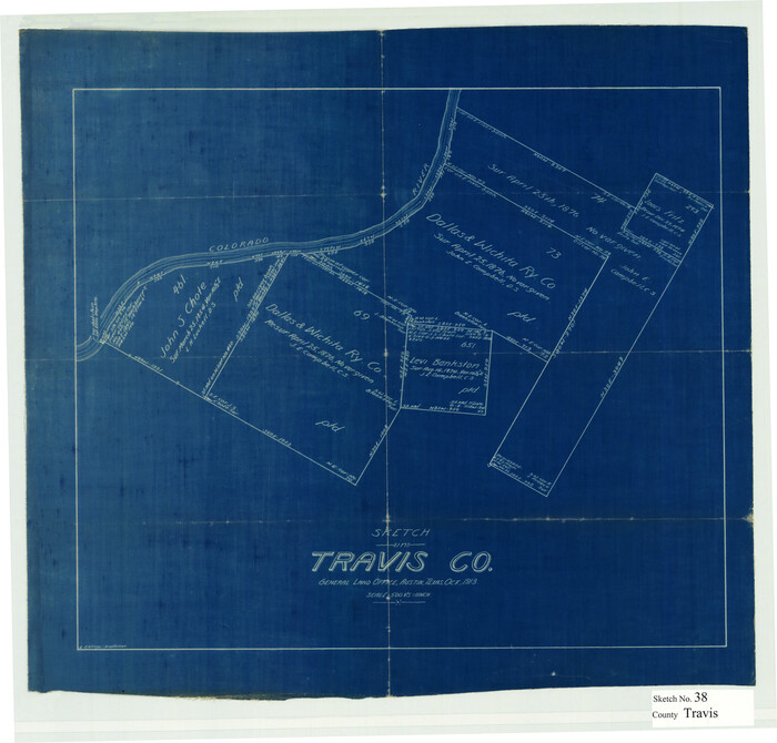

Print $20.00
- Digital $50.00
Travis County Sketch File 38
1913
Size 16.6 x 17.4 inches
Map/Doc 12462
General Highway Map, Navarro County, Texas


Print $20.00
General Highway Map, Navarro County, Texas
1961
Size 19.3 x 25.0 inches
Map/Doc 79610
Carter-Coffey Addition, Part of Section 77, Block A


Print $20.00
- Digital $50.00
Carter-Coffey Addition, Part of Section 77, Block A
Size 30.0 x 9.8 inches
Map/Doc 92766
[Sketch showing area around Runnels County School Land, Yates survey 34 1/2 and Runnels County School Land]
![91681, [Sketch showing area around Runnels County School Land, Yates survey 34 1/2 and Runnels County School Land], Twichell Survey Records](https://historictexasmaps.com/wmedia_w700/maps/91681-1.tif.jpg)
![91681, [Sketch showing area around Runnels County School Land, Yates survey 34 1/2 and Runnels County School Land], Twichell Survey Records](https://historictexasmaps.com/wmedia_w700/maps/91681-1.tif.jpg)
Print $3.00
- Digital $50.00
[Sketch showing area around Runnels County School Land, Yates survey 34 1/2 and Runnels County School Land]
Size 15.8 x 9.7 inches
Map/Doc 91681
General Highway Map, Tom Green County, Texas


Print $20.00
General Highway Map, Tom Green County, Texas
1961
Size 25.0 x 18.1 inches
Map/Doc 79677
Falls County Sketch File 16
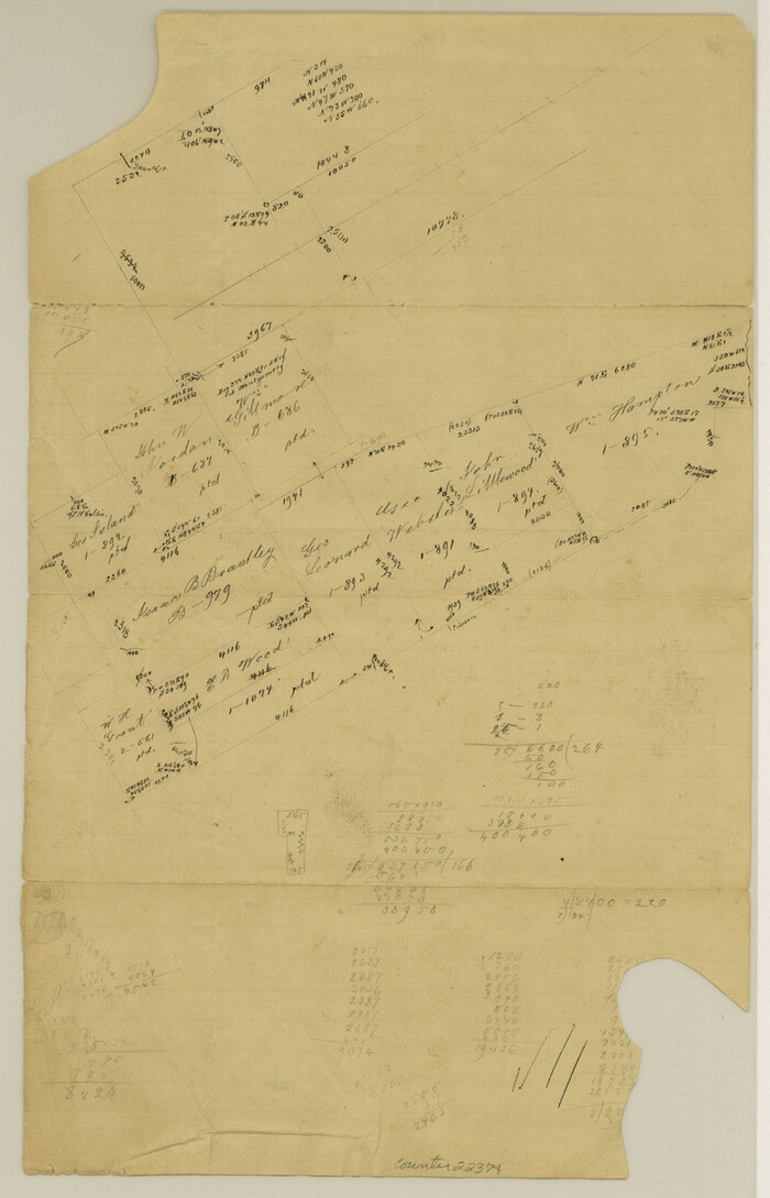

Print $8.00
- Digital $50.00
Falls County Sketch File 16
Size 13.3 x 8.5 inches
Map/Doc 22374
Seagraves Cemetery, Gaines County, Texas
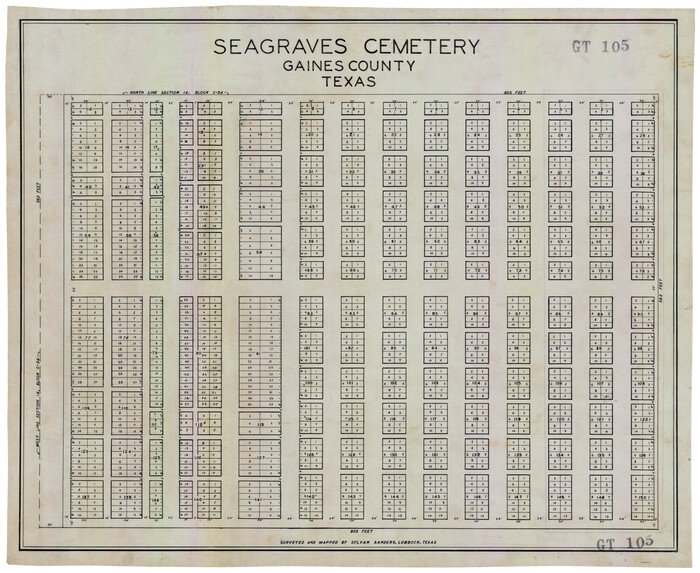

Print $20.00
- Digital $50.00
Seagraves Cemetery, Gaines County, Texas
Size 23.2 x 19.2 inches
Map/Doc 92685
Morris County Sketch File 1


Print $4.00
- Digital $50.00
Morris County Sketch File 1
Size 12.4 x 6.5 inches
Map/Doc 31963
![89738, [Sketch showing PSL Blocks A13, A25-A27, A30-A32, A37, A38, A47-A49 & N/L Univ. Blk. 11], Twichell Survey Records](https://historictexasmaps.com/wmedia_w1800h1800/maps/89738-1.tif.jpg)