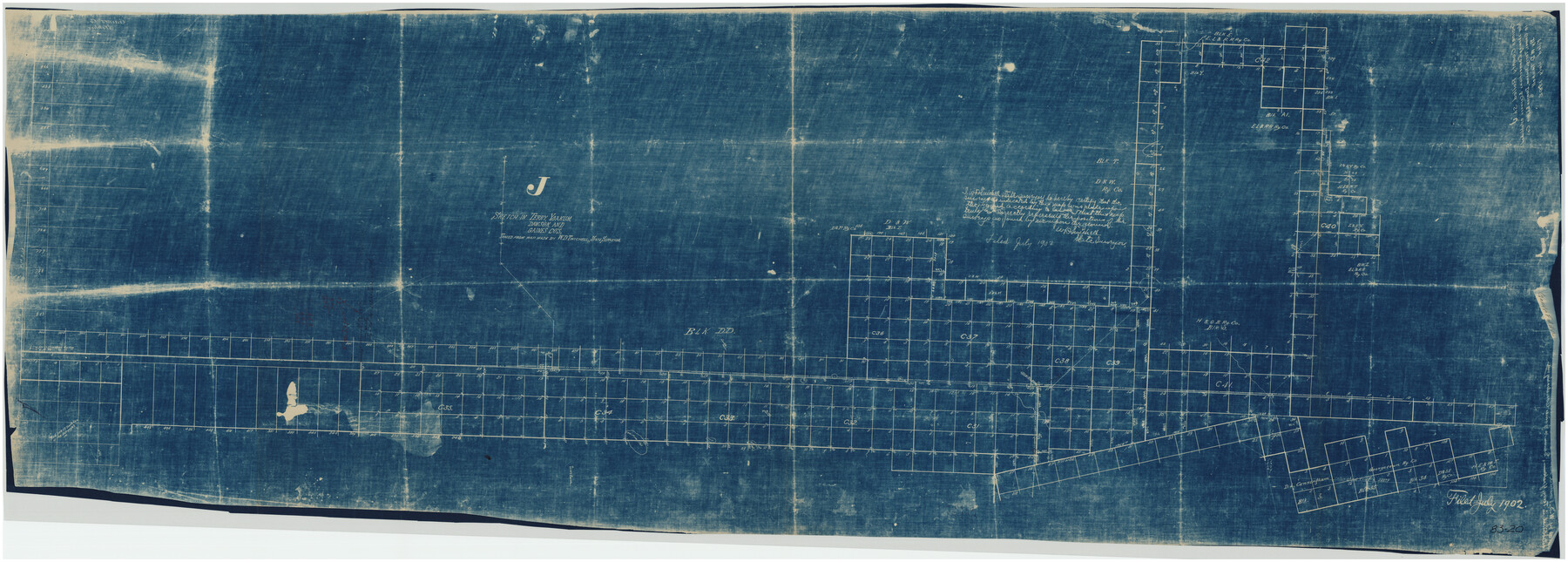
Sketch in Terry, Yoakum, Dawson and Gaines Co's.
83-20
-
Map/Doc
89782
-
Collection
Twichell Survey Records
-
Object Dates
7/1902 (Creation Date)
-
People and Organizations
W.D. Twichell (Surveyor/Engineer)
-
Counties
Gaines Terry Yoakum Dawson
-
Height x Width
72.8 x 26.4 inches
184.9 x 67.1 cm
Part of: Twichell Survey Records
[John S. Stephens Blk. S2, Lgs. 174-177, 186-193, 201-209]
![90107, [John S. Stephens Blk. S2, Lgs. 174-177, 186-193, 201-209], Twichell Survey Records](https://historictexasmaps.com/wmedia_w700/maps/90107-1.tif.jpg)
Print $2.00
- Digital $50.00
[John S. Stephens Blk. S2, Lgs. 174-177, 186-193, 201-209]
1912
Size 11.4 x 9.0 inches
Map/Doc 90107
![90594, [Block K7], Twichell Survey Records](https://historictexasmaps.com/wmedia_w700/maps/90594-1.tif.jpg)
[C.C.S.D. & R.G.N.G. RR. Co. Blk. G east thru T.&P. Blk 33]
![89775, [C.C.S.D. & R.G.N.G. RR. Co. Blk. G east thru T.&P. Blk 33], Twichell Survey Records](https://historictexasmaps.com/wmedia_w700/maps/89775-1.tif.jpg)
Print $40.00
- Digital $50.00
[C.C.S.D. & R.G.N.G. RR. Co. Blk. G east thru T.&P. Blk 33]
1901
Size 70.2 x 23.0 inches
Map/Doc 89775
[Harrison & Brown Block]
![90457, [Harrison & Brown Block], Twichell Survey Records](https://historictexasmaps.com/wmedia_w700/maps/90457-2.tif.jpg)
Print $2.00
- Digital $50.00
[Harrison & Brown Block]
Size 13.5 x 8.2 inches
Map/Doc 90457
[Township 3 North, Blocks 31 and 32, T. & P. RR. Company]
![92621, [Township 3 North, Blocks 31 and 32, T. & P. RR. Company], Twichell Survey Records](https://historictexasmaps.com/wmedia_w700/maps/92621-1.tif.jpg)
Print $20.00
- Digital $50.00
[Township 3 North, Blocks 31 and 32, T. & P. RR. Company]
Size 21.7 x 16.3 inches
Map/Doc 92621
Ownership Map SW 1/4 Lubbock County

Print $20.00
- Digital $50.00
Ownership Map SW 1/4 Lubbock County
Size 33.7 x 36.8 inches
Map/Doc 89697
[Additions Surrounding Fort Worth & Denver Railroad Fork]
![92840, [Additions Surrounding Fort Worth & Denver Railroad Fork], Twichell Survey Records](https://historictexasmaps.com/wmedia_w700/maps/92840-1.tif.jpg)
Print $20.00
- Digital $50.00
[Additions Surrounding Fort Worth & Denver Railroad Fork]
Size 32.2 x 32.1 inches
Map/Doc 92840
[E. T. Ry. Blk. 1]
![89794, [E. T. Ry. Blk. 1], Twichell Survey Records](https://historictexasmaps.com/wmedia_w700/maps/89794-1.tif.jpg)
Print $40.00
- Digital $50.00
[E. T. Ry. Blk. 1]
Size 56.5 x 43.4 inches
Map/Doc 89794
Yellowhouse Land Company's Subdivision of State Capitol Leagues Hockley County, Texas

Print $20.00
- Digital $50.00
Yellowhouse Land Company's Subdivision of State Capitol Leagues Hockley County, Texas
Size 30.7 x 24.9 inches
Map/Doc 92260
Map of Abernathy Located on Section 12, Block CK, Hale and Lubbock Counties, Texas

Print $20.00
- Digital $50.00
Map of Abernathy Located on Section 12, Block CK, Hale and Lubbock Counties, Texas
Size 29.9 x 33.0 inches
Map/Doc 92666
Brazos River Conservation and Reclamation District Official Boundary Line Survey

Print $20.00
- Digital $50.00
Brazos River Conservation and Reclamation District Official Boundary Line Survey
Size 37.1 x 24.7 inches
Map/Doc 90127
[Texas Boundary Line]
![92071, [Texas Boundary Line], Twichell Survey Records](https://historictexasmaps.com/wmedia_w700/maps/92071-1.tif.jpg)
Print $20.00
- Digital $50.00
[Texas Boundary Line]
Size 21.5 x 12.0 inches
Map/Doc 92071
You may also like
Map of the Lower Rio Grande Valley showing Alamo-Donna Farms

Print $20.00
- Digital $50.00
Map of the Lower Rio Grande Valley showing Alamo-Donna Farms
1920
Size 14.0 x 13.4 inches
Map/Doc 95801
Jefferson County Working Sketch 5

Print $20.00
- Digital $50.00
Jefferson County Working Sketch 5
1930
Size 32.7 x 21.8 inches
Map/Doc 66548
Laneer vs. Bivins, Potter County, Texas

Print $20.00
- Digital $50.00
Laneer vs. Bivins, Potter County, Texas
Size 21.1 x 18.8 inches
Map/Doc 93062
Martin County Sketch File 7

Print $20.00
- Digital $50.00
Martin County Sketch File 7
Size 20.0 x 13.9 inches
Map/Doc 12028
Flight Mission No. CRC-4R, Frame 77, Chambers County

Print $20.00
- Digital $50.00
Flight Mission No. CRC-4R, Frame 77, Chambers County
1956
Size 18.9 x 22.5 inches
Map/Doc 84881
Surveys along the Leona River in the County of Bexar not yet connected with other surveys

Print $20.00
- Digital $50.00
Surveys along the Leona River in the County of Bexar not yet connected with other surveys
Size 21.8 x 28.7 inches
Map/Doc 70
Hood County Rolled Sketch 6A

Print $4.00
- Digital $50.00
Hood County Rolled Sketch 6A
1996
Size 19.9 x 26.5 inches
Map/Doc 6223
Survey of all that part of lots 6, 7, and the north 1/2 of 20 foot alley lying south of said lots 6 and 7, all of lots 8, 9, 10, the east one half of lot 11, all of lot 13, lying south and adjacent to the southerly seawall right-of-way line

Print $2.00
- Digital $50.00
Survey of all that part of lots 6, 7, and the north 1/2 of 20 foot alley lying south of said lots 6 and 7, all of lots 8, 9, 10, the east one half of lot 11, all of lot 13, lying south and adjacent to the southerly seawall right-of-way line
1969
Size 17.0 x 15.3 inches
Map/Doc 73624
Flight Mission No. DQN-5K, Frame 49, Calhoun County

Print $20.00
- Digital $50.00
Flight Mission No. DQN-5K, Frame 49, Calhoun County
1953
Size 17.4 x 22.3 inches
Map/Doc 84394
Presidio County Rolled Sketch 50

Print $20.00
- Digital $50.00
Presidio County Rolled Sketch 50
Size 21.2 x 18.4 inches
Map/Doc 7344
Tom Green County Sketch File 89

Print $4.00
Tom Green County Sketch File 89
Size 14.3 x 8.9 inches
Map/Doc 97245
Brewster County Sketch File 50

Print $32.00
- Digital $50.00
Brewster County Sketch File 50
1995
Size 14.8 x 8.5 inches
Map/Doc 16336