[Block K7]
59-23
-
Map/Doc
90594
-
Collection
Twichell Survey Records
-
Counties
Deaf Smith
-
Height x Width
29.6 x 27.7 inches
75.2 x 70.4 cm
-
Comments
See counter 90595 for sketch on reverse.
Part of: Twichell Survey Records
Sketch in Cochran County, Texas


Print $20.00
- Digital $50.00
Sketch in Cochran County, Texas
1949
Size 22.4 x 21.6 inches
Map/Doc 92523
Map of Tascosa, Oldham County, Texas


Print $40.00
- Digital $50.00
Map of Tascosa, Oldham County, Texas
Size 34.8 x 66.8 inches
Map/Doc 89711
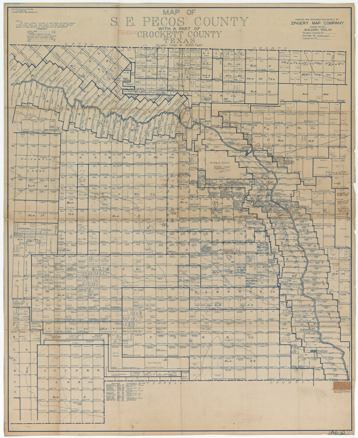
Map of S. E. Pecos County with a part of Crockett County, Texas

Print $40.00
- Digital $50.00
Map of S. E. Pecos County with a part of Crockett County, Texas
1927
Size 42.2 x 51.6 inches
Map/Doc 89804
[Blocks A, RG, O, B, S and 11]
![92858, [Blocks A, RG, O, B, S and 11], Twichell Survey Records](https://historictexasmaps.com/wmedia_w700/maps/92858-1.tif.jpg)
![92858, [Blocks A, RG, O, B, S and 11], Twichell Survey Records](https://historictexasmaps.com/wmedia_w700/maps/92858-1.tif.jpg)
Print $20.00
- Digital $50.00
[Blocks A, RG, O, B, S and 11]
1921
Size 25.2 x 15.5 inches
Map/Doc 92858
[Blocks 21, 22, 23, and 24]
![91110, [Blocks 21, 22, 23, and 24], Twichell Survey Records](https://historictexasmaps.com/wmedia_w700/maps/91110-1.tif.jpg)
![91110, [Blocks 21, 22, 23, and 24], Twichell Survey Records](https://historictexasmaps.com/wmedia_w700/maps/91110-1.tif.jpg)
Print $20.00
- Digital $50.00
[Blocks 21, 22, 23, and 24]
Size 14.0 x 12.8 inches
Map/Doc 91110
Map of Re-Survey of Blk. 34 & 35 T5N


Print $40.00
- Digital $50.00
Map of Re-Survey of Blk. 34 & 35 T5N
1915
Size 53.5 x 39.2 inches
Map/Doc 89765
[Scripture Addition to the City of Denton]
![90587, [Scripture Addition to the City of Denton], Twichell Survey Records](https://historictexasmaps.com/wmedia_w700/maps/90587-1.tif.jpg)
![90587, [Scripture Addition to the City of Denton], Twichell Survey Records](https://historictexasmaps.com/wmedia_w700/maps/90587-1.tif.jpg)
Print $20.00
- Digital $50.00
[Scripture Addition to the City of Denton]
Size 27.3 x 22.0 inches
Map/Doc 90587
[Blocks D, DD Showing Terrain]
![92445, [Blocks D, DD Showing Terrain], Twichell Survey Records](https://historictexasmaps.com/wmedia_w700/maps/92445-1.tif.jpg)
![92445, [Blocks D, DD Showing Terrain], Twichell Survey Records](https://historictexasmaps.com/wmedia_w700/maps/92445-1.tif.jpg)
Print $20.00
- Digital $50.00
[Blocks D, DD Showing Terrain]
Size 30.8 x 17.2 inches
Map/Doc 92445
[Sketch of area around R. D. Price and Berry Doolittle Surveys]
![91878, [Sketch of area around R. D. Price and Berry Doolittle Surveys], Twichell Survey Records](https://historictexasmaps.com/wmedia_w700/maps/91878-1.tif.jpg)
![91878, [Sketch of area around R. D. Price and Berry Doolittle Surveys], Twichell Survey Records](https://historictexasmaps.com/wmedia_w700/maps/91878-1.tif.jpg)
Print $20.00
- Digital $50.00
[Sketch of area around R. D. Price and Berry Doolittle Surveys]
Size 27.4 x 19.8 inches
Map/Doc 91878
[E. L. & R. R. RR. Co. Blocks 10 and 32, T. & P. R.R. Co. Blocks 30 and 31, Tsp 6N]
![90216, [E. L. & R. R. RR. Co. Blocks 10 and 32, T. & P. R.R. Co. Blocks 30 and 31, Tsp 6N], Twichell Survey Records](https://historictexasmaps.com/wmedia_w700/maps/90216-1.tif.jpg)
![90216, [E. L. & R. R. RR. Co. Blocks 10 and 32, T. & P. R.R. Co. Blocks 30 and 31, Tsp 6N], Twichell Survey Records](https://historictexasmaps.com/wmedia_w700/maps/90216-1.tif.jpg)
Print $20.00
- Digital $50.00
[E. L. & R. R. RR. Co. Blocks 10 and 32, T. & P. R.R. Co. Blocks 30 and 31, Tsp 6N]
Size 21.7 x 17.7 inches
Map/Doc 90216
[West half of county, south of John H. Stephens Block S2]
![90976, [West half of county, south of John H. Stephens Block S2], Twichell Survey Records](https://historictexasmaps.com/wmedia_w700/maps/90976-1.tif.jpg)
![90976, [West half of county, south of John H. Stephens Block S2], Twichell Survey Records](https://historictexasmaps.com/wmedia_w700/maps/90976-1.tif.jpg)
Print $2.00
- Digital $50.00
[West half of county, south of John H. Stephens Block S2]
Size 11.8 x 8.7 inches
Map/Doc 90976
[Fisher County School Land Lgs. 106-108]
![90198, [Fisher County School Land Lgs. 106-108], Twichell Survey Records](https://historictexasmaps.com/wmedia_w700/maps/90198-1.tif.jpg)
![90198, [Fisher County School Land Lgs. 106-108], Twichell Survey Records](https://historictexasmaps.com/wmedia_w700/maps/90198-1.tif.jpg)
Print $20.00
- Digital $50.00
[Fisher County School Land Lgs. 106-108]
Size 11.7 x 18.4 inches
Map/Doc 90198
You may also like
Controlled Mosaic by Jack Amman Photogrammetric Engineers, Inc - Sheet 43

Print $20.00
- Digital $50.00
Controlled Mosaic by Jack Amman Photogrammetric Engineers, Inc - Sheet 43
1954
Size 20.0 x 24.0 inches
Map/Doc 83502
Map of Chicago, Rock Island & Texas Railway through Wise and Tarrant County, Texas

Print $20.00
- Digital $50.00
Map of Chicago, Rock Island & Texas Railway through Wise and Tarrant County, Texas
1893
Size 19.6 x 43.7 inches
Map/Doc 64429
Sabine County


Print $20.00
- Digital $50.00
Sabine County
1920
Size 44.6 x 35.1 inches
Map/Doc 16805
Leon County Sketch File 6

Print $4.00
- Digital $50.00
Leon County Sketch File 6
1859
Size 8.2 x 12.0 inches
Map/Doc 29719
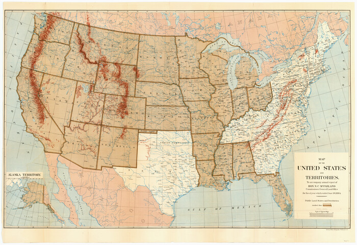
Map of the United States and Territories to accompany annual report of Hon. N.C. McFarland, Commissioner, General Land Office for fiscal year which ended June 30, 1884

Print $20.00
- Digital $50.00
Map of the United States and Territories to accompany annual report of Hon. N.C. McFarland, Commissioner, General Land Office for fiscal year which ended June 30, 1884
1884
Size 27.0 x 39.3 inches
Map/Doc 96631
Fort Bend County Sketch File 21


Print $4.00
- Digital $50.00
Fort Bend County Sketch File 21
1882
Size 8.8 x 13.4 inches
Map/Doc 22954
Hudspeth County Rolled Sketch 69

Print $20.00
- Digital $50.00
Hudspeth County Rolled Sketch 69
1973
Size 13.3 x 20.5 inches
Map/Doc 7716
Gregg County Working Sketch 14


Print $20.00
- Digital $50.00
Gregg County Working Sketch 14
1941
Size 29.7 x 39.5 inches
Map/Doc 63281
La Salle County Sketch File 30


Print $22.00
- Digital $50.00
La Salle County Sketch File 30
1880
Size 12.6 x 8.2 inches
Map/Doc 29565
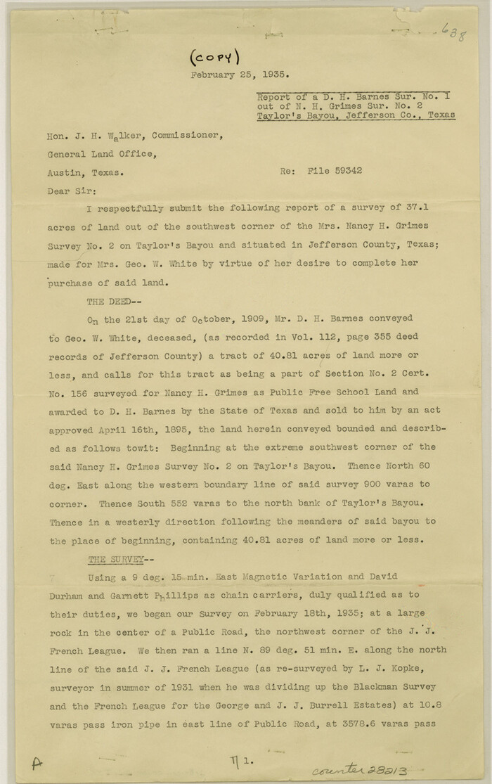
Jefferson County Sketch File 38

Print $10.00
- Digital $50.00
Jefferson County Sketch File 38
Size 14.2 x 8.9 inches
Map/Doc 28213
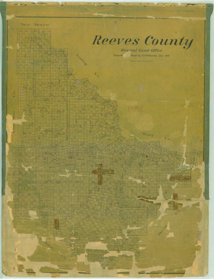
Reeves County

Print $20.00
- Digital $50.00
Reeves County
1915
Size 46.5 x 35.7 inches
Map/Doc 16797
![90594, [Block K7], Twichell Survey Records](https://historictexasmaps.com/wmedia_w1800h1800/maps/90594-1.tif.jpg)
