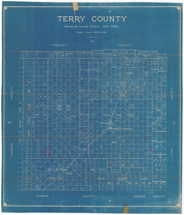
[PSL Block B-19]
238-12
-
Map/Doc
89811
-
Collection
Twichell Survey Records
-
Counties
Ward
-
Height x Width
43.7 x 56.6 inches
111.0 x 143.8 cm
Part of: Twichell Survey Records
Right-of-way & Track Map Dawson Railway Operated by the El Paso & Southwestern Company Station 1867+09.6 to Station 360+75.4
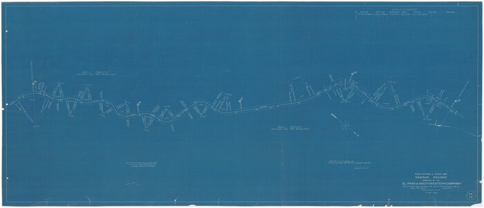

Print $40.00
- Digital $50.00
Right-of-way & Track Map Dawson Railway Operated by the El Paso & Southwestern Company Station 1867+09.6 to Station 360+75.4
1910
Size 56.9 x 24.7 inches
Map/Doc 89659
[Jose Ostane survey]
![89983, [Jose Ostane survey], Twichell Survey Records](https://historictexasmaps.com/wmedia_w700/maps/89983-1.tif.jpg)
![89983, [Jose Ostane survey], Twichell Survey Records](https://historictexasmaps.com/wmedia_w700/maps/89983-1.tif.jpg)
Print $3.00
- Digital $50.00
[Jose Ostane survey]
Size 14.6 x 9.3 inches
Map/Doc 89983
Land for Sale or Lease in Garza and Crosby County, 13 miles S 10° W from center of Crosby County
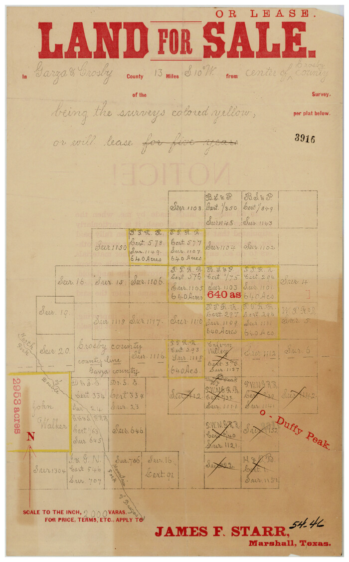

Print $2.00
- Digital $50.00
Land for Sale or Lease in Garza and Crosby County, 13 miles S 10° W from center of Crosby County
Size 9.0 x 14.3 inches
Map/Doc 90367
[Block K, Public School Land]
![92907, [Block K, Public School Land], Twichell Survey Records](https://historictexasmaps.com/wmedia_w700/maps/92907-1.tif.jpg)
![92907, [Block K, Public School Land], Twichell Survey Records](https://historictexasmaps.com/wmedia_w700/maps/92907-1.tif.jpg)
Print $20.00
- Digital $50.00
[Block K, Public School Land]
1902
Size 17.9 x 32.8 inches
Map/Doc 92907
Ellis Addition to the City of Lubbock, Being a Subdivision of a Part of the SW/4 of SW/4 Sec. 4, Blk. A
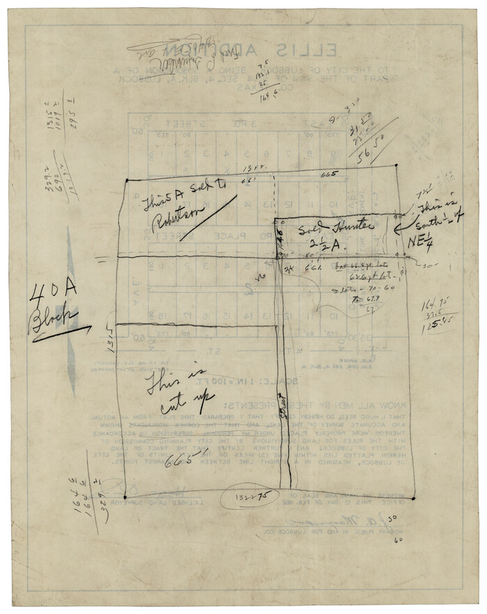

Print $3.00
- Digital $50.00
Ellis Addition to the City of Lubbock, Being a Subdivision of a Part of the SW/4 of SW/4 Sec. 4, Blk. A
1952
Size 9.5 x 12.0 inches
Map/Doc 92710
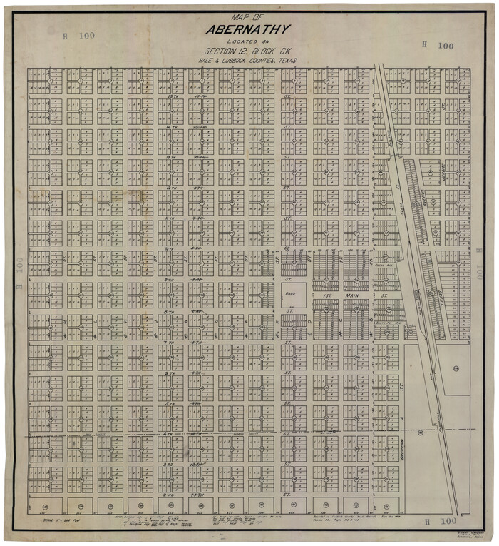
Map of Abernathy Located on Section 12, Block CK, Hale and Lubbock Counties, Texas

Print $20.00
- Digital $50.00
Map of Abernathy Located on Section 12, Block CK, Hale and Lubbock Counties, Texas
Size 30.4 x 33.2 inches
Map/Doc 92700
[Surveys in the vicinity of Coyote Lake, Bailey County]
![90161, [Surveys in the vicinity of Coyote Lake, Bailey County], Twichell Survey Records](https://historictexasmaps.com/wmedia_w700/maps/90161-1.tif.jpg)
![90161, [Surveys in the vicinity of Coyote Lake, Bailey County], Twichell Survey Records](https://historictexasmaps.com/wmedia_w700/maps/90161-1.tif.jpg)
Print $20.00
- Digital $50.00
[Surveys in the vicinity of Coyote Lake, Bailey County]
1913
Size 26.8 x 26.7 inches
Map/Doc 90161
[Nathaniel H. Cochran Survey and Vicinity]
![91399, [Nathaniel H. Cochran Survey and Vicinity], Twichell Survey Records](https://historictexasmaps.com/wmedia_w700/maps/91399-1.tif.jpg)
![91399, [Nathaniel H. Cochran Survey and Vicinity], Twichell Survey Records](https://historictexasmaps.com/wmedia_w700/maps/91399-1.tif.jpg)
Print $20.00
- Digital $50.00
[Nathaniel H. Cochran Survey and Vicinity]
1922
Size 22.4 x 22.0 inches
Map/Doc 91399
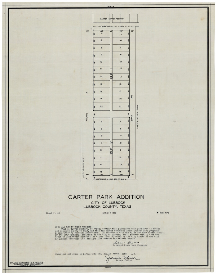
Carter Park Addition

Print $20.00
- Digital $50.00
Carter Park Addition
1952
Size 18.3 x 23.2 inches
Map/Doc 92769
[Blocks GM, and D3 and Vicinity in Motley and Floyd Counties]
![91502, [Blocks GM, and D3 and Vicinity in Motley and Floyd Counties], Twichell Survey Records](https://historictexasmaps.com/wmedia_w700/maps/91502-1.tif.jpg)
![91502, [Blocks GM, and D3 and Vicinity in Motley and Floyd Counties], Twichell Survey Records](https://historictexasmaps.com/wmedia_w700/maps/91502-1.tif.jpg)
Print $20.00
- Digital $50.00
[Blocks GM, and D3 and Vicinity in Motley and Floyd Counties]
1904
Size 23.8 x 17.4 inches
Map/Doc 91502
You may also like
Flight Mission No. BRA-8M, Frame 126, Jefferson County


Print $20.00
- Digital $50.00
Flight Mission No. BRA-8M, Frame 126, Jefferson County
1953
Size 19.1 x 22.7 inches
Map/Doc 85622
Trinity River, Wire Bridge Sheet/Denton Creek


Print $6.00
- Digital $50.00
Trinity River, Wire Bridge Sheet/Denton Creek
1938
Size 30.4 x 29.7 inches
Map/Doc 65244
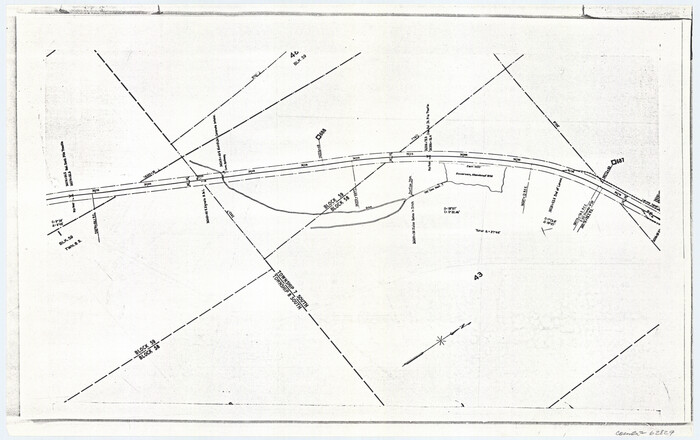
Railroad Track Map, T&PRRCo., Culberson County, Texas

Print $4.00
- Digital $50.00
Railroad Track Map, T&PRRCo., Culberson County, Texas
1910
Size 11.7 x 18.6 inches
Map/Doc 62829
Montgomery County Rolled Sketch 19A


Print $40.00
- Digital $50.00
Montgomery County Rolled Sketch 19A
1933
Size 52.9 x 37.3 inches
Map/Doc 8349
[University Blocks 17 and 18, Block Z, C4, 194, 178, A2, C3]
![93199, [University Blocks 17 and 18, Block Z, C4, 194, 178, A2, C3], Twichell Survey Records](https://historictexasmaps.com/wmedia_w700/maps/93199-1.tif.jpg)
![93199, [University Blocks 17 and 18, Block Z, C4, 194, 178, A2, C3], Twichell Survey Records](https://historictexasmaps.com/wmedia_w700/maps/93199-1.tif.jpg)
Print $40.00
- Digital $50.00
[University Blocks 17 and 18, Block Z, C4, 194, 178, A2, C3]
1882
Size 81.8 x 54.1 inches
Map/Doc 93199
[Crockett County School Land and Adjacent Leagues in Bailey and Lamb Counties]
![92983, [Crockett County School Land and Adjacent Leagues in Bailey and Lamb Counties], Twichell Survey Records](https://historictexasmaps.com/wmedia_w700/maps/92983-1.tif.jpg)
![92983, [Crockett County School Land and Adjacent Leagues in Bailey and Lamb Counties], Twichell Survey Records](https://historictexasmaps.com/wmedia_w700/maps/92983-1.tif.jpg)
Print $20.00
- Digital $50.00
[Crockett County School Land and Adjacent Leagues in Bailey and Lamb Counties]
Size 18.0 x 12.8 inches
Map/Doc 92983
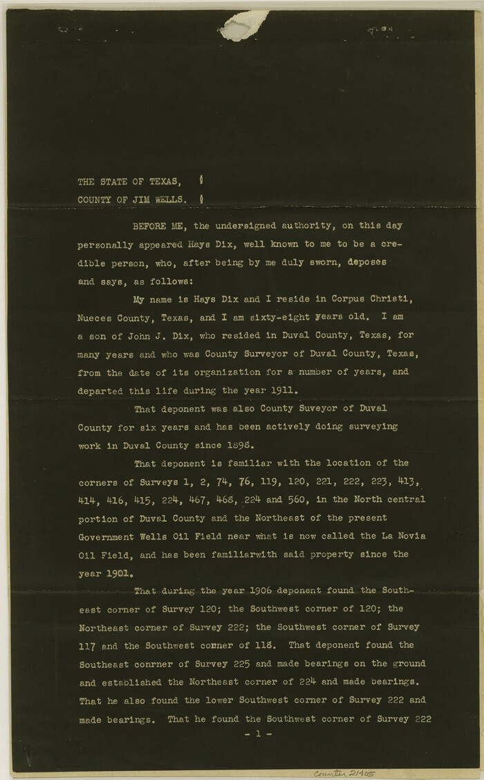
Duval County Sketch File 48

Print $8.00
- Digital $50.00
Duval County Sketch File 48
1935
Size 14.2 x 8.8 inches
Map/Doc 21405
Colorado County Sketch File 17

Print $22.00
- Digital $50.00
Colorado County Sketch File 17
Size 8.7 x 7.7 inches
Map/Doc 18949
Martin County Working Sketch 12
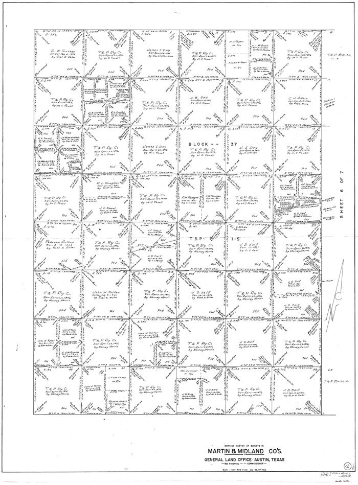

Print $40.00
- Digital $50.00
Martin County Working Sketch 12
1971
Size 48.2 x 35.6 inches
Map/Doc 70830
Presidio County Sketch File 69b


Print $6.00
- Digital $50.00
Presidio County Sketch File 69b
1919
Size 11.2 x 8.8 inches
Map/Doc 34666
Sectional Map of Martin County, Texas
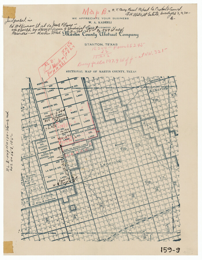

Print $3.00
- Digital $50.00
Sectional Map of Martin County, Texas
Size 9.6 x 12.1 inches
Map/Doc 91293
![89811, [PSL Block B-19], Twichell Survey Records](https://historictexasmaps.com/wmedia_w1800h1800/maps/89811-1.tif.jpg)
![90772, [Block XR], Twichell Survey Records](https://historictexasmaps.com/wmedia_w700/maps/90772-1.tif.jpg)
