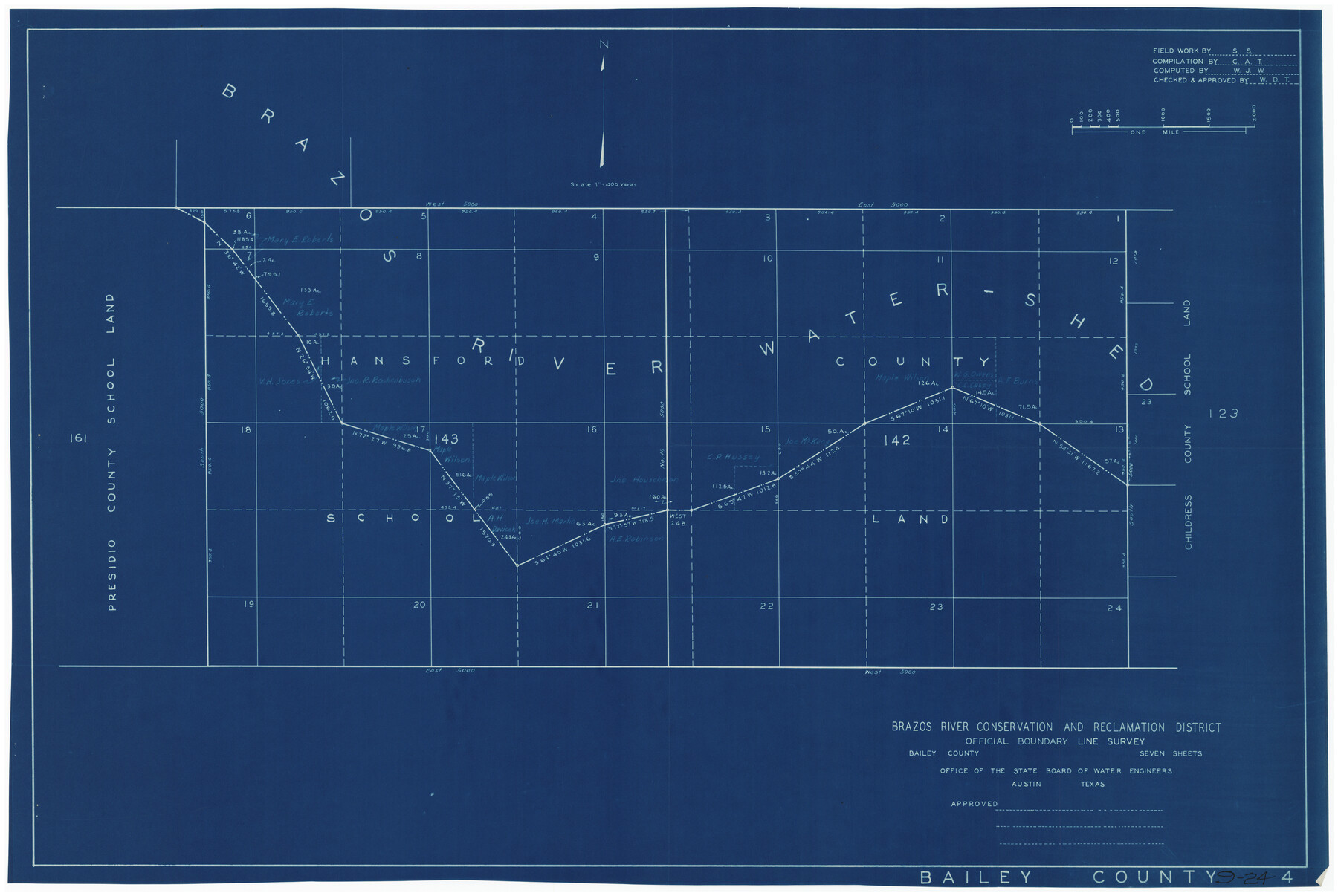
Brazos River Conservation and Reclamation District Official Boundary Line Survey
9-24
-
Map/Doc
90128
-
Collection
Twichell Survey Records
-
People and Organizations
Office of the State Board of Water Engineers (Publisher)
Sylvan Sanders (Surveyor/Engineer)
-
Counties
Bailey
-
Height x Width
36.6 x 24.6 inches
93.0 x 62.5 cm
Part of: Twichell Survey Records
[Blocks XO3 and I]
![91167, [Blocks XO3 and I], Twichell Survey Records](https://historictexasmaps.com/wmedia_w700/maps/91167-1.tif.jpg)
Print $2.00
- Digital $50.00
[Blocks XO3 and I]
Size 6.5 x 11.8 inches
Map/Doc 91167
Lamb County, Texas Compiled by Sylvan Sanders Lubbock, Texas

Print $20.00
- Digital $50.00
Lamb County, Texas Compiled by Sylvan Sanders Lubbock, Texas
Size 24.0 x 27.2 inches
Map/Doc 92200
[W. T. Brewer: M. McDonald, Ralph Gilpin, A. Vanhooser, John Baker, John R. Taylor Surveys]
![90962, [W. T. Brewer: M. McDonald, Ralph Gilpin, A. Vanhooser, John Baker, John R. Taylor Surveys], Twichell Survey Records](https://historictexasmaps.com/wmedia_w700/maps/90962-1.tif.jpg)
Print $2.00
- Digital $50.00
[W. T. Brewer: M. McDonald, Ralph Gilpin, A. Vanhooser, John Baker, John R. Taylor Surveys]
Size 9.2 x 11.4 inches
Map/Doc 90962
Blocks T1, T2, T3, S3, A, O5, and Capitol Leagues]
![91074, Blocks T1, T2, T3, S3, A, O5, and Capitol Leagues], Twichell Survey Records](https://historictexasmaps.com/wmedia_w700/maps/91074-1.tif.jpg)
Print $20.00
- Digital $50.00
Blocks T1, T2, T3, S3, A, O5, and Capitol Leagues]
Size 30.0 x 33.4 inches
Map/Doc 91074
Richard's Addition to Adrian, Situated in Oldham County, Texas

Print $20.00
- Digital $50.00
Richard's Addition to Adrian, Situated in Oldham County, Texas
Size 21.4 x 24.3 inches
Map/Doc 91428
[Block 37, Townships 1 and 2 North]
![91363, [Block 37, Townships 1 and 2 North], Twichell Survey Records](https://historictexasmaps.com/wmedia_w700/maps/91363-1.tif.jpg)
Print $20.00
- Digital $50.00
[Block 37, Townships 1 and 2 North]
Size 19.7 x 40.9 inches
Map/Doc 91363
[Central Part of County]
![89791, [Central Part of County], Twichell Survey Records](https://historictexasmaps.com/wmedia_w700/maps/89791-1.tif.jpg)
Print $40.00
- Digital $50.00
[Central Part of County]
Size 70.0 x 26.3 inches
Map/Doc 89791
[J. Poitevent Block 2, T. T. RR. Block 2, C. C. Slaughter Block 1]
![90624, [J. Poitevent Block 2, T. T. RR. Block 2, C. C. Slaughter Block 1], Twichell Survey Records](https://historictexasmaps.com/wmedia_w700/maps/90624-1.tif.jpg)
Print $2.00
- Digital $50.00
[J. Poitevent Block 2, T. T. RR. Block 2, C. C. Slaughter Block 1]
Size 8.5 x 11.6 inches
Map/Doc 90624
King County Survey

Print $20.00
- Digital $50.00
King County Survey
1916
Size 25.4 x 30.1 inches
Map/Doc 91020
[Portion of sketch showing alleged vacancy]
![91953, [Portion of sketch showing alleged vacancy], Twichell Survey Records](https://historictexasmaps.com/wmedia_w700/maps/91953-1.tif.jpg)
Print $20.00
- Digital $50.00
[Portion of sketch showing alleged vacancy]
Size 18.9 x 24.4 inches
Map/Doc 91953
[Leagues 464-467]
![91555, [Leagues 464-467], Twichell Survey Records](https://historictexasmaps.com/wmedia_w700/maps/91555-1.tif.jpg)
Print $20.00
- Digital $50.00
[Leagues 464-467]
Size 19.4 x 15.1 inches
Map/Doc 91555
[Blocks 71 and C-8]
![91778, [Blocks 71 and C-8], Twichell Survey Records](https://historictexasmaps.com/wmedia_w700/maps/91778-1.tif.jpg)
Print $20.00
- Digital $50.00
[Blocks 71 and C-8]
Size 29.7 x 21.1 inches
Map/Doc 91778
You may also like
Sketch of 103rd Meridian, W. L. Showing Conflict of Capitol Leagues

Print $40.00
- Digital $50.00
Sketch of 103rd Meridian, W. L. Showing Conflict of Capitol Leagues
Size 26.9 x 85.1 inches
Map/Doc 65505

Archer County Working Sketch 21

Print $20.00
- Digital $50.00
Archer County Working Sketch 21
1976
Size 18.2 x 27.4 inches
Map/Doc 67162
Jefferson County Rolled Sketch 60

Print $20.00
- Digital $50.00
Jefferson County Rolled Sketch 60
1885
Size 34.0 x 35.9 inches
Map/Doc 9316
Flight Mission No. DAH-9M, Frame 161, Orange County

Print $20.00
- Digital $50.00
Flight Mission No. DAH-9M, Frame 161, Orange County
1953
Size 18.6 x 22.4 inches
Map/Doc 86860
Medina County Rolled Sketch 23

Print $20.00
- Digital $50.00
Medina County Rolled Sketch 23
Size 30.4 x 42.6 inches
Map/Doc 89063
General Highway Map, Gonzales County, Texas

Print $20.00
General Highway Map, Gonzales County, Texas
1940
Size 18.6 x 25.0 inches
Map/Doc 79102
[Sketch for Mineral Application 24072, San Jacinto River]
![65591, [Sketch for Mineral Application 24072, San Jacinto River], General Map Collection](https://historictexasmaps.com/wmedia_w700/maps/65591.tif.jpg)
Print $20.00
- Digital $50.00
[Sketch for Mineral Application 24072, San Jacinto River]
1929
Size 21.0 x 39.8 inches
Map/Doc 65591
Liberty County Working Sketch 52

Print $20.00
- Digital $50.00
Liberty County Working Sketch 52
1956
Size 32.5 x 24.6 inches
Map/Doc 70512
Hartley County Boundary File 3a

Print $42.00
- Digital $50.00
Hartley County Boundary File 3a
Size 8.6 x 22.0 inches
Map/Doc 54483
Fort Bend County Working Sketch 8

Print $20.00
- Digital $50.00
Fort Bend County Working Sketch 8
1922
Size 24.9 x 17.6 inches
Map/Doc 69214
Current Miscellaneous File 51

Print $6.00
- Digital $50.00
Current Miscellaneous File 51
Size 11.6 x 9.2 inches
Map/Doc 74029