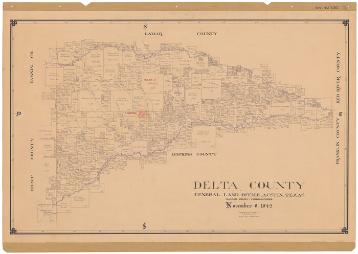
[Blocks XO3 and I]
171-72
-
Map/Doc
91167
-
Collection
Twichell Survey Records
-
Counties
Hutchinson
-
Height x Width
6.5 x 11.8 inches
16.5 x 30.0 cm
Part of: Twichell Survey Records
[Various County School Land Leagues]
![89849, [Various County School Land Leagues], Twichell Survey Records](https://historictexasmaps.com/wmedia_w700/maps/89849-1.tif.jpg)
![89849, [Various County School Land Leagues], Twichell Survey Records](https://historictexasmaps.com/wmedia_w700/maps/89849-1.tif.jpg)
Print $40.00
- Digital $50.00
[Various County School Land Leagues]
Size 55.7 x 41.4 inches
Map/Doc 89849
[Sketch showing surveys in Blocks 1, 2, 3, 5, 8, 9, B-4 and S]
![91753, [Sketch showing surveys in Blocks 1, 2, 3, 5, 8, 9, B-4 and S], Twichell Survey Records](https://historictexasmaps.com/wmedia_w700/maps/91753-1.tif.jpg)
![91753, [Sketch showing surveys in Blocks 1, 2, 3, 5, 8, 9, B-4 and S], Twichell Survey Records](https://historictexasmaps.com/wmedia_w700/maps/91753-1.tif.jpg)
Print $20.00
- Digital $50.00
[Sketch showing surveys in Blocks 1, 2, 3, 5, 8, 9, B-4 and S]
1875
Size 27.8 x 27.2 inches
Map/Doc 91753
[Southeast Portion of Lubbock County]
![91313, [Southeast Portion of Lubbock County], Twichell Survey Records](https://historictexasmaps.com/wmedia_w700/maps/91313-1.tif.jpg)
![91313, [Southeast Portion of Lubbock County], Twichell Survey Records](https://historictexasmaps.com/wmedia_w700/maps/91313-1.tif.jpg)
Print $20.00
- Digital $50.00
[Southeast Portion of Lubbock County]
Size 24.7 x 18.5 inches
Map/Doc 91313
[Sketch showing H. T. & B. RR. Co. Sections 125 and 126, B. H. Epperson, Mary Fury, Henry Rogers and Wm. H. Sergeant]
![90882, [Sketch showing H. T. & B. RR. Co. Sections 125 and 126, B. H. Epperson, Mary Fury, Henry Rogers and Wm. H. Sergeant], Twichell Survey Records](https://historictexasmaps.com/wmedia_w700/maps/90882-1.tif.jpg)
![90882, [Sketch showing H. T. & B. RR. Co. Sections 125 and 126, B. H. Epperson, Mary Fury, Henry Rogers and Wm. H. Sergeant], Twichell Survey Records](https://historictexasmaps.com/wmedia_w700/maps/90882-1.tif.jpg)
Print $20.00
- Digital $50.00
[Sketch showing H. T. & B. RR. Co. Sections 125 and 126, B. H. Epperson, Mary Fury, Henry Rogers and Wm. H. Sergeant]
Size 14.5 x 19.4 inches
Map/Doc 90882
[Sketch of "B" Blocks]
![89749, [Sketch of "B" Blocks], Twichell Survey Records](https://historictexasmaps.com/wmedia_w700/maps/89749-1.tif.jpg)
![89749, [Sketch of "B" Blocks], Twichell Survey Records](https://historictexasmaps.com/wmedia_w700/maps/89749-1.tif.jpg)
Print $40.00
- Digital $50.00
[Sketch of "B" Blocks]
Size 61.7 x 38.1 inches
Map/Doc 89749
Plat of Connecting Line between Northwest Corner of Eddy Sparks 1-1662


Print $20.00
- Digital $50.00
Plat of Connecting Line between Northwest Corner of Eddy Sparks 1-1662
1945
Size 20.0 x 27.6 inches
Map/Doc 92602
[Capitol Leagues 217-228, 238, and vicinity]
![90693, [Capitol Leagues 217-228, 238, and vicinity], Twichell Survey Records](https://historictexasmaps.com/wmedia_w700/maps/90693-1.tif.jpg)
![90693, [Capitol Leagues 217-228, 238, and vicinity], Twichell Survey Records](https://historictexasmaps.com/wmedia_w700/maps/90693-1.tif.jpg)
Print $20.00
- Digital $50.00
[Capitol Leagues 217-228, 238, and vicinity]
Size 24.7 x 10.6 inches
Map/Doc 90693
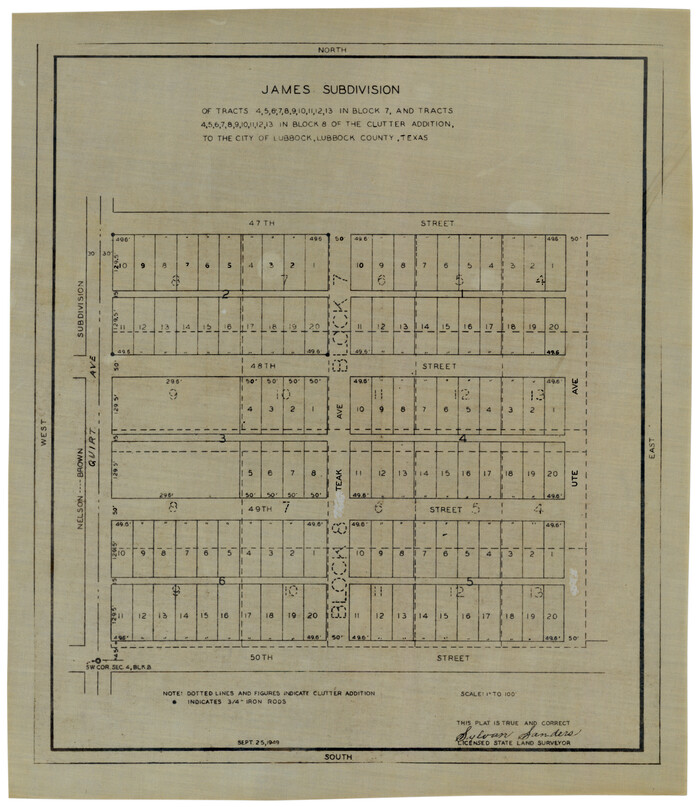
James Subdivision of Tracts 4, 5, 6, 7, 8, 9, 10, 11, 12, 13 in Block 7 and Tracts 4, 5, 6, 7, 8, 9, 10, 11, 12, 13 in Block 8 of the Clutter Addition to the City of Lubbock

Print $20.00
- Digital $50.00
James Subdivision of Tracts 4, 5, 6, 7, 8, 9, 10, 11, 12, 13 in Block 7 and Tracts 4, 5, 6, 7, 8, 9, 10, 11, 12, 13 in Block 8 of the Clutter Addition to the City of Lubbock
1949
Size 16.1 x 18.6 inches
Map/Doc 92796
[Sketch showing I. & G. N. Block 8]
![91715, [Sketch showing I. & G. N. Block 8], Twichell Survey Records](https://historictexasmaps.com/wmedia_w700/maps/91715-1.tif.jpg)
![91715, [Sketch showing I. & G. N. Block 8], Twichell Survey Records](https://historictexasmaps.com/wmedia_w700/maps/91715-1.tif.jpg)
Print $2.00
- Digital $50.00
[Sketch showing I. & G. N. Block 8]
1919
Size 7.7 x 10.3 inches
Map/Doc 91715
[Blocks B15, B8, B22]
![91981, [Blocks B15, B8, B22], Twichell Survey Records](https://historictexasmaps.com/wmedia_w700/maps/91981-1.tif.jpg)
![91981, [Blocks B15, B8, B22], Twichell Survey Records](https://historictexasmaps.com/wmedia_w700/maps/91981-1.tif.jpg)
Print $20.00
- Digital $50.00
[Blocks B15, B8, B22]
Size 22.9 x 9.9 inches
Map/Doc 91981
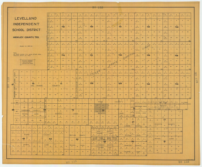
Levelland Independent School District Hockley County, Texas

Print $20.00
- Digital $50.00
Levelland Independent School District Hockley County, Texas
Size 36.2 x 29.8 inches
Map/Doc 92240
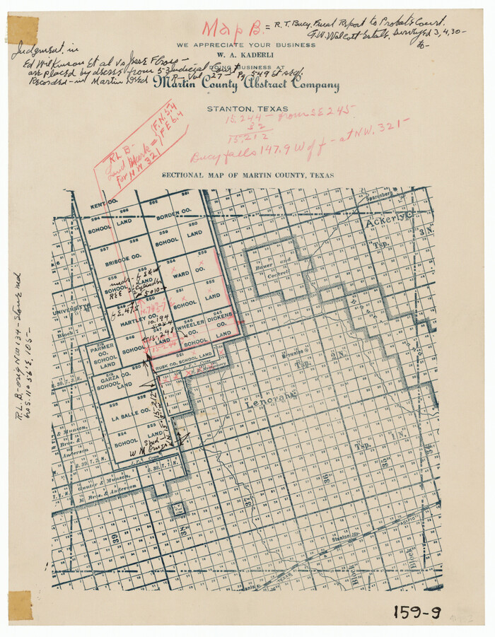
Sectional Map of Martin County, Texas

Print $3.00
- Digital $50.00
Sectional Map of Martin County, Texas
Size 9.6 x 12.1 inches
Map/Doc 91293
You may also like
Brewster County Working Sketch 115


Print $40.00
- Digital $50.00
Brewster County Working Sketch 115
1985
Size 49.6 x 43.4 inches
Map/Doc 67715
San Saba County Rolled Sketch 3
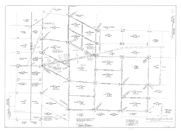

Print $20.00
- Digital $50.00
San Saba County Rolled Sketch 3
Size 31.9 x 43.3 inches
Map/Doc 7744
Fisher County Sketch File 21


Print $6.00
- Digital $50.00
Fisher County Sketch File 21
Size 10.3 x 17.0 inches
Map/Doc 22649
Briscoe County Sketch File D


Print $40.00
- Digital $50.00
Briscoe County Sketch File D
1918
Size 25.8 x 22.9 inches
Map/Doc 11001
Kimble County Rolled Sketch 29
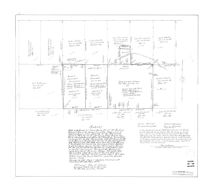

Print $20.00
- Digital $50.00
Kimble County Rolled Sketch 29
Size 27.5 x 31.0 inches
Map/Doc 6519
Harris County Sketch File E


Print $4.00
- Digital $50.00
Harris County Sketch File E
1860
Size 7.6 x 12.1 inches
Map/Doc 25315
Angelina County
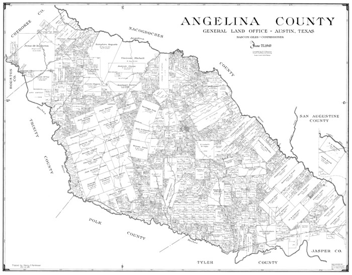

Print $40.00
- Digital $50.00
Angelina County
1945
Size 38.9 x 49.3 inches
Map/Doc 77200
Henderson County Sketch File 9

Print $8.00
- Digital $50.00
Henderson County Sketch File 9
Size 8.3 x 7.8 inches
Map/Doc 26343
Flight Mission No. CUG-1P, Frame 112, Kleberg County


Print $20.00
- Digital $50.00
Flight Mission No. CUG-1P, Frame 112, Kleberg County
1956
Size 18.5 x 22.3 inches
Map/Doc 86162
Eastland County Boundary File 1
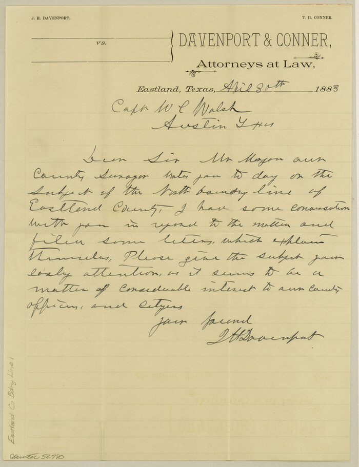

Print $10.00
- Digital $50.00
Eastland County Boundary File 1
Size 11.1 x 8.5 inches
Map/Doc 52780
Lynn County Sketch File 6
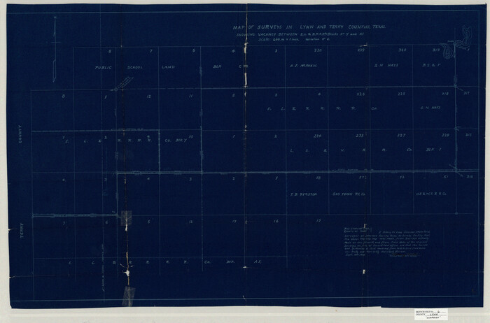

Print $20.00
- Digital $50.00
Lynn County Sketch File 6
1928
Size 24.2 x 36.7 inches
Map/Doc 10529
![91167, [Blocks XO3 and I], Twichell Survey Records](https://historictexasmaps.com/wmedia_w1800h1800/maps/91167-1.tif.jpg)
