[Sketch showing H. T. & B. RR. Co. Sections 125 and 126, B. H. Epperson, Mary Fury, Henry Rogers and Wm. H. Sergeant]
67-8
-
Map/Doc
90882
-
Collection
Twichell Survey Records
-
Counties
Eastland
-
Height x Width
14.5 x 19.4 inches
36.8 x 49.3 cm
Part of: Twichell Survey Records
[John B. Robinson and surrounding surveys]
![91040, [John B. Robinson and surrounding surveys], Twichell Survey Records](https://historictexasmaps.com/wmedia_w700/maps/91040-1.tif.jpg)
![91040, [John B. Robinson and surrounding surveys], Twichell Survey Records](https://historictexasmaps.com/wmedia_w700/maps/91040-1.tif.jpg)
Print $20.00
- Digital $50.00
[John B. Robinson and surrounding surveys]
Size 12.9 x 15.2 inches
Map/Doc 91040
Three-Way Consolidated County Line Independent School District, Bailey and Cochran Counties, Texas


Print $20.00
- Digital $50.00
Three-Way Consolidated County Line Independent School District, Bailey and Cochran Counties, Texas
Size 34.2 x 26.8 inches
Map/Doc 92527
[Notes and map showing Public School Land Block K between Yoakum and Terry Counties]
![92010, [Notes and map showing Public School Land Block K between Yoakum and Terry Counties], Twichell Survey Records](https://historictexasmaps.com/wmedia_w700/maps/92010-1.tif.jpg)
![92010, [Notes and map showing Public School Land Block K between Yoakum and Terry Counties], Twichell Survey Records](https://historictexasmaps.com/wmedia_w700/maps/92010-1.tif.jpg)
Print $2.00
- Digital $50.00
[Notes and map showing Public School Land Block K between Yoakum and Terry Counties]
Size 8.3 x 5.7 inches
Map/Doc 92010
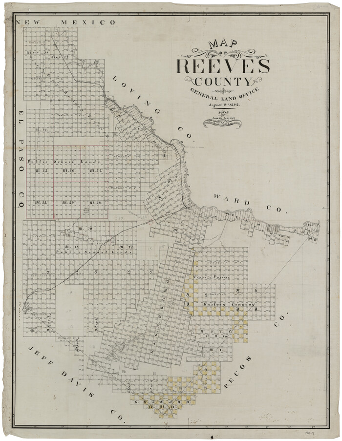
Map of Reeves County, 1892

Print $20.00
- Digital $50.00
Map of Reeves County, 1892
1892
Size 35.8 x 46.3 inches
Map/Doc 89708
Scrivener's North-west Sub-division, Wichita County, Texas


Print $20.00
- Digital $50.00
Scrivener's North-west Sub-division, Wichita County, Texas
Size 20.0 x 26.0 inches
Map/Doc 91994
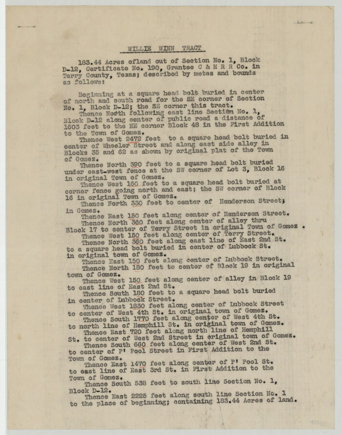
Willie Winn Tract

Print $2.00
- Digital $50.00
Willie Winn Tract
1903
Size 5.9 x 7.6 inches
Map/Doc 92285
[Subdivision Plat of 80 acres]
![93074, [Subdivision Plat of 80 acres], Twichell Survey Records](https://historictexasmaps.com/wmedia_w700/maps/93074-1.tif.jpg)
![93074, [Subdivision Plat of 80 acres], Twichell Survey Records](https://historictexasmaps.com/wmedia_w700/maps/93074-1.tif.jpg)
Print $2.00
- Digital $50.00
[Subdivision Plat of 80 acres]
Size 10.6 x 6.3 inches
Map/Doc 93074
[H. & G. N. Block 1 resurvey]
![90951, [H. & G. N. Block 1 resurvey], Twichell Survey Records](https://historictexasmaps.com/wmedia_w700/maps/90951-1.tif.jpg)
![90951, [H. & G. N. Block 1 resurvey], Twichell Survey Records](https://historictexasmaps.com/wmedia_w700/maps/90951-1.tif.jpg)
Print $20.00
- Digital $50.00
[H. & G. N. Block 1 resurvey]
1902
Size 14.7 x 17.2 inches
Map/Doc 90951
[D. Boone, Block A27]
![92640, [D. Boone, Block A27], Twichell Survey Records](https://historictexasmaps.com/wmedia_w700/maps/92640-1.tif.jpg)
![92640, [D. Boone, Block A27], Twichell Survey Records](https://historictexasmaps.com/wmedia_w700/maps/92640-1.tif.jpg)
Print $20.00
- Digital $50.00
[D. Boone, Block A27]
Size 37.0 x 24.0 inches
Map/Doc 92640
[G. C. & S. F. Railroad Company Block H2, Town of Adrian, and Vicinity]
![91439, [G. C. & S. F. Railroad Company Block H2, Town of Adrian, and Vicinity], Twichell Survey Records](https://historictexasmaps.com/wmedia_w700/maps/91439-1.tif.jpg)
![91439, [G. C. & S. F. Railroad Company Block H2, Town of Adrian, and Vicinity], Twichell Survey Records](https://historictexasmaps.com/wmedia_w700/maps/91439-1.tif.jpg)
Print $20.00
- Digital $50.00
[G. C. & S. F. Railroad Company Block H2, Town of Adrian, and Vicinity]
Size 24.4 x 15.8 inches
Map/Doc 91439
You may also like
Padre Island National Seashore, Texas - Dependent Resurvey


Print $4.00
- Digital $50.00
Padre Island National Seashore, Texas - Dependent Resurvey
2001
Size 17.8 x 24.2 inches
Map/Doc 60544
Titus County Working Sketch 1


Print $20.00
- Digital $50.00
Titus County Working Sketch 1
Size 18.2 x 17.3 inches
Map/Doc 69362
Shackelford County Working Sketch 7


Print $20.00
- Digital $50.00
Shackelford County Working Sketch 7
1963
Size 22.4 x 23.3 inches
Map/Doc 63847
Dawson County Working Sketch 17


Print $20.00
- Digital $50.00
Dawson County Working Sketch 17
1961
Size 33.3 x 29.9 inches
Map/Doc 68561
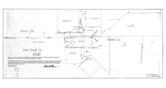
Hunt County Rolled Sketch 3

Print $20.00
- Digital $50.00
Hunt County Rolled Sketch 3
Size 19.1 x 36.0 inches
Map/Doc 6267
Map of the Fort Worth & Denver City Railway, Hartley County, Texas


Print $40.00
- Digital $50.00
Map of the Fort Worth & Denver City Railway, Hartley County, Texas
1887
Size 21.9 x 89.8 inches
Map/Doc 64390
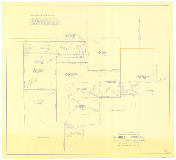
Kimble County Working Sketch 63

Print $20.00
- Digital $50.00
Kimble County Working Sketch 63
1964
Size 31.2 x 34.2 inches
Map/Doc 70131
Sutton County Rolled Sketch F


Print $20.00
- Digital $50.00
Sutton County Rolled Sketch F
Size 12.7 x 38.9 inches
Map/Doc 7903
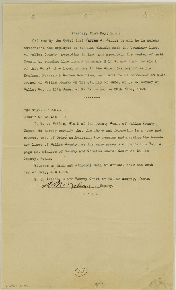
Dallas County Boundary File 6b

Print $40.00
- Digital $50.00
Dallas County Boundary File 6b
Size 14.1 x 8.6 inches
Map/Doc 52207
Hardin County Sketch File 30


Print $6.00
- Digital $50.00
Hardin County Sketch File 30
Size 6.5 x 8.1 inches
Map/Doc 25157
Shackelford County Sketch File 12
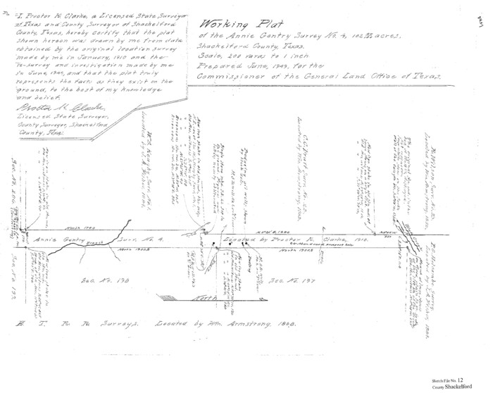

Print $26.00
- Digital $50.00
Shackelford County Sketch File 12
1949
Size 14.4 x 8.8 inches
Map/Doc 36580
![90882, [Sketch showing H. T. & B. RR. Co. Sections 125 and 126, B. H. Epperson, Mary Fury, Henry Rogers and Wm. H. Sergeant], Twichell Survey Records](https://historictexasmaps.com/wmedia_w1800h1800/maps/90882-1.tif.jpg)
