[Notes and map showing Public School Land Block K between Yoakum and Terry Counties]
251-16
-
Map/Doc
92010
-
Collection
Twichell Survey Records
-
People and Organizations
Mark E. Ragsdale (Surveyor/Engineer)
-
Counties
Yoakum Terry
-
Height x Width
8.3 x 5.7 inches
21.1 x 14.5 cm
-
Comments
See counter 92011 for sketch
Part of: Twichell Survey Records
[Block C39, Sections 22, 23 Millican Estate, 24]
![92345, [Block C39, Sections 22, 23 Millican Estate, 24], Twichell Survey Records](https://historictexasmaps.com/wmedia_w700/maps/92345-1.tif.jpg)
![92345, [Block C39, Sections 22, 23 Millican Estate, 24], Twichell Survey Records](https://historictexasmaps.com/wmedia_w700/maps/92345-1.tif.jpg)
Print $20.00
- Digital $50.00
[Block C39, Sections 22, 23 Millican Estate, 24]
1956
Size 11.4 x 31.2 inches
Map/Doc 92345
[West and North lines of the Panhandle]
![90576, [West and North lines of the Panhandle], Twichell Survey Records](https://historictexasmaps.com/wmedia_w700/maps/90576-1.tif.jpg)
![90576, [West and North lines of the Panhandle], Twichell Survey Records](https://historictexasmaps.com/wmedia_w700/maps/90576-1.tif.jpg)
Print $20.00
- Digital $50.00
[West and North lines of the Panhandle]
1885
Size 22.0 x 32.1 inches
Map/Doc 90576
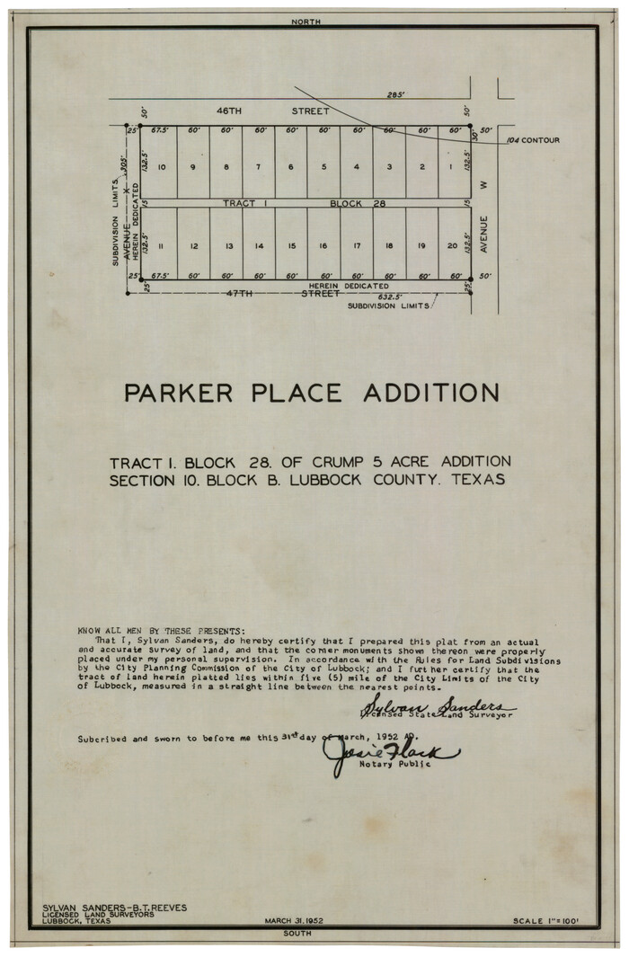
Parker Place Addition

Print $3.00
- Digital $50.00
Parker Place Addition
1952
Size 11.8 x 17.9 inches
Map/Doc 92414
[Blocks WJG2, FR, 330]
![92330, [Blocks WJG2, FR, 330], Twichell Survey Records](https://historictexasmaps.com/wmedia_w700/maps/92330-1.tif.jpg)
![92330, [Blocks WJG2, FR, 330], Twichell Survey Records](https://historictexasmaps.com/wmedia_w700/maps/92330-1.tif.jpg)
Print $20.00
- Digital $50.00
[Blocks WJG2, FR, 330]
Size 25.8 x 25.8 inches
Map/Doc 92330
Hockley County


Print $20.00
- Digital $50.00
Hockley County
1914
Size 22.3 x 25.9 inches
Map/Doc 92244
[Eastern Texas RR. Co. Block 1]
![91922, [Eastern Texas RR. Co. Block 1], Twichell Survey Records](https://historictexasmaps.com/wmedia_w700/maps/91922-1.tif.jpg)
![91922, [Eastern Texas RR. Co. Block 1], Twichell Survey Records](https://historictexasmaps.com/wmedia_w700/maps/91922-1.tif.jpg)
Print $20.00
- Digital $50.00
[Eastern Texas RR. Co. Block 1]
Size 34.7 x 31.0 inches
Map/Doc 91922
Map of the Survey of the 100th Meridian of Longitude west of Greenwich beginning at Red River and extending to the parallel 36 1/2 degrees north latitude


Print $40.00
- Digital $50.00
Map of the Survey of the 100th Meridian of Longitude west of Greenwich beginning at Red River and extending to the parallel 36 1/2 degrees north latitude
Size 11.4 x 112.2 inches
Map/Doc 93192
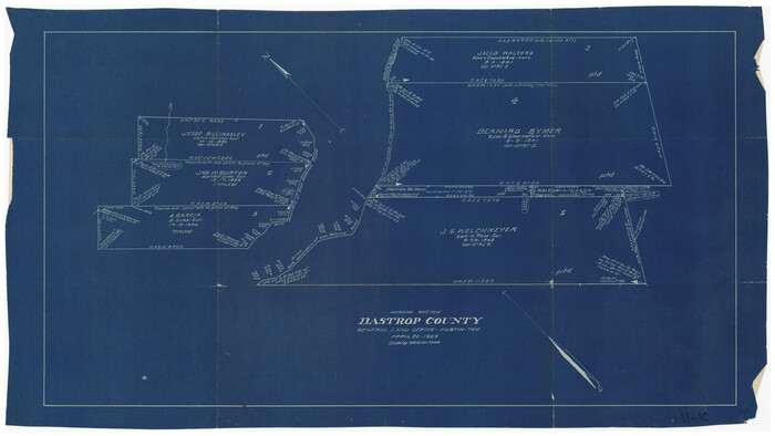
Working Sketch Bastrop County

Print $20.00
- Digital $50.00
Working Sketch Bastrop County
1923
Size 23.2 x 13.0 inches
Map/Doc 90151
[T. & P. Blocks 32-34, Township 3N]
![90560, [T. & P. Blocks 32-34, Township 3N], Twichell Survey Records](https://historictexasmaps.com/wmedia_w700/maps/90560-1.tif.jpg)
![90560, [T. & P. Blocks 32-34, Township 3N], Twichell Survey Records](https://historictexasmaps.com/wmedia_w700/maps/90560-1.tif.jpg)
Print $20.00
- Digital $50.00
[T. & P. Blocks 32-34, Township 3N]
Size 27.7 x 20.2 inches
Map/Doc 90560
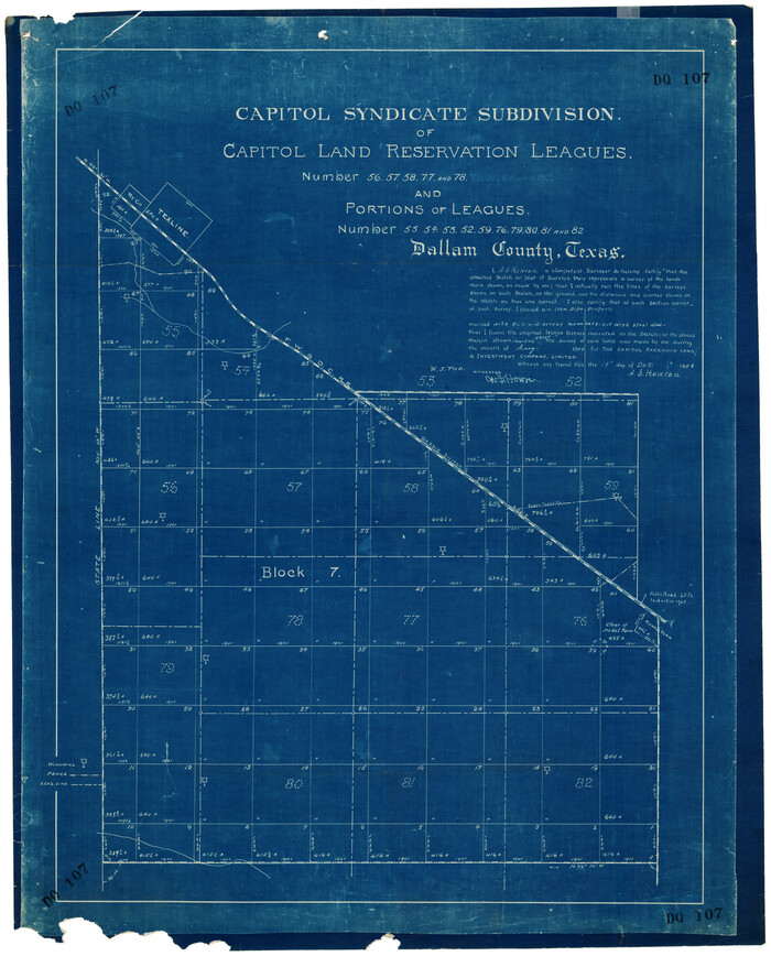
Capitol Syndicate Subdivision of Capitol Land Reservation Leagues

Print $20.00
- Digital $50.00
Capitol Syndicate Subdivision of Capitol Land Reservation Leagues
1908
Size 25.6 x 31.5 inches
Map/Doc 92584
[Blocks S1, O6, O, A1, A2, A3, A4, JK, JK2, JK4, and JD]
![90658, [Blocks S1, O6, O, A1, A2, A3, A4, JK, JK2, JK4, and JD], Twichell Survey Records](https://historictexasmaps.com/wmedia_w700/maps/90658-1.tif.jpg)
![90658, [Blocks S1, O6, O, A1, A2, A3, A4, JK, JK2, JK4, and JD], Twichell Survey Records](https://historictexasmaps.com/wmedia_w700/maps/90658-1.tif.jpg)
Print $20.00
- Digital $50.00
[Blocks S1, O6, O, A1, A2, A3, A4, JK, JK2, JK4, and JD]
Size 20.3 x 21.7 inches
Map/Doc 90658
You may also like
Leon County Rolled Sketch 35


Print $20.00
- Digital $50.00
Leon County Rolled Sketch 35
2018
Size 30.7 x 21.3 inches
Map/Doc 95288
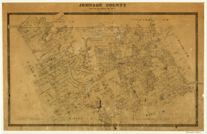
Johnson County

Print $20.00
- Digital $50.00
Johnson County
1857
Size 19.2 x 29.1 inches
Map/Doc 3734
Johnson County
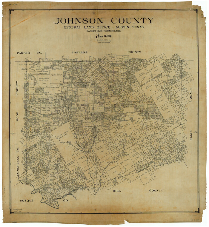

Print $20.00
- Digital $50.00
Johnson County
1943
Size 42.4 x 39.0 inches
Map/Doc 1868
Tyler County Working Sketch 19


Print $20.00
- Digital $50.00
Tyler County Working Sketch 19
1967
Size 47.8 x 42.9 inches
Map/Doc 69489
[Drawings of individual counties for Pressler and Langermann's 1879 Map of Texas]
![2140, [Drawings of individual counties for Pressler and Langermann's 1879 Map of Texas], General Map Collection](https://historictexasmaps.com/wmedia_w700/maps/2140-1.tif.jpg)
![2140, [Drawings of individual counties for Pressler and Langermann's 1879 Map of Texas], General Map Collection](https://historictexasmaps.com/wmedia_w700/maps/2140-1.tif.jpg)
Print $20.00
- Digital $50.00
[Drawings of individual counties for Pressler and Langermann's 1879 Map of Texas]
1878
Size 28.5 x 42.0 inches
Map/Doc 2140
[Surveying sketch of S. Hayford, E. T. R.R. Co., T. C. R. R. Co., et al in Travis County, Texas]
![10753, [Surveying sketch of S. Hayford, E. T. R.R. Co., T. C. R. R. Co., et al in Travis County, Texas], Maddox Collection](https://historictexasmaps.com/wmedia_w700/maps/10753.tif.jpg)
![10753, [Surveying sketch of S. Hayford, E. T. R.R. Co., T. C. R. R. Co., et al in Travis County, Texas], Maddox Collection](https://historictexasmaps.com/wmedia_w700/maps/10753.tif.jpg)
Print $20.00
- Digital $50.00
[Surveying sketch of S. Hayford, E. T. R.R. Co., T. C. R. R. Co., et al in Travis County, Texas]
Size 18.0 x 17.3 inches
Map/Doc 10753
Edwards County Working Sketch 67
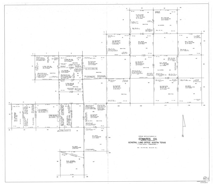

Print $20.00
- Digital $50.00
Edwards County Working Sketch 67
1957
Size 38.3 x 44.2 inches
Map/Doc 68943
Delta County Sketch File 4


Print $4.00
- Digital $50.00
Delta County Sketch File 4
Size 10.9 x 7.3 inches
Map/Doc 20674
Montague County Working Sketch 27
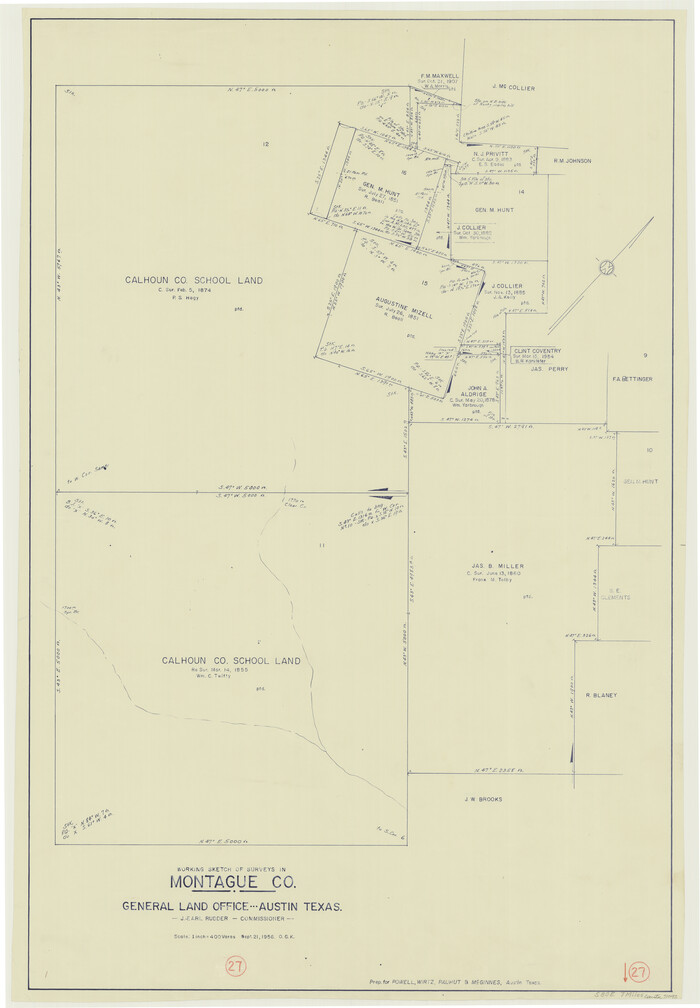

Print $20.00
- Digital $50.00
Montague County Working Sketch 27
1956
Size 35.8 x 24.9 inches
Map/Doc 71093
Burnet County Rolled Sketch 4
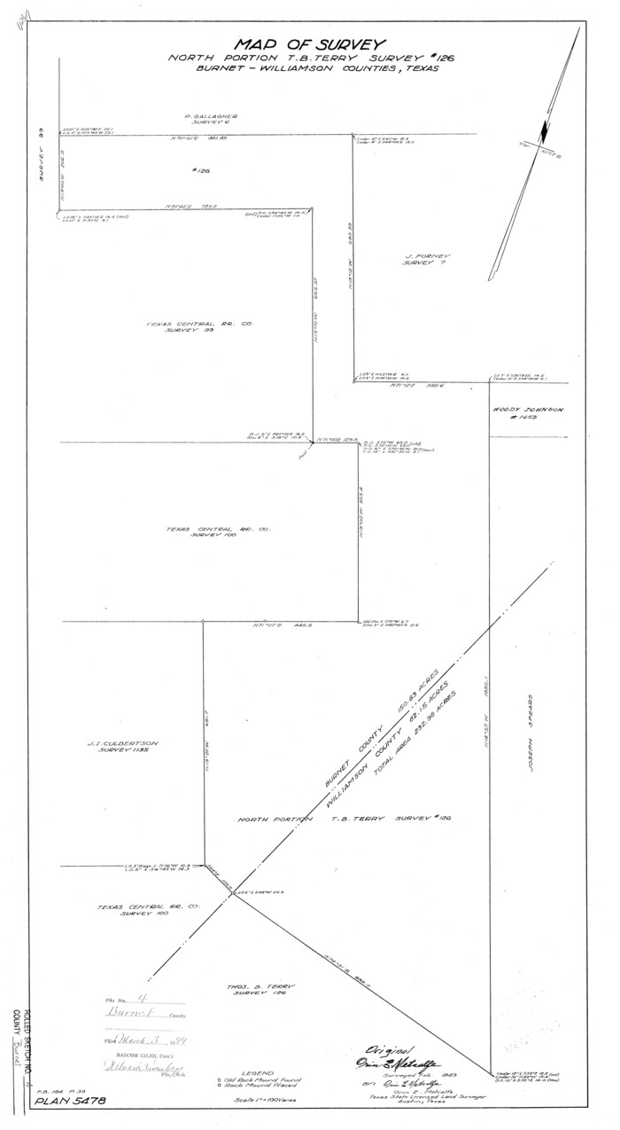

Print $20.00
- Digital $50.00
Burnet County Rolled Sketch 4
1949
Size 31.9 x 17.5 inches
Map/Doc 5356
![92010, [Notes and map showing Public School Land Block K between Yoakum and Terry Counties], Twichell Survey Records](https://historictexasmaps.com/wmedia_w1800h1800/maps/92010-1.tif.jpg)
![92804, [Block O], Twichell Survey Records](https://historictexasmaps.com/wmedia_w700/maps/92804-1.tif.jpg)
![94186, Texas [Verso], General Map Collection](https://historictexasmaps.com/wmedia_w700/maps/94186.tif.jpg)
