[Eastern Texas RR. Co. Block 1]
209-12
-
Map/Doc
91922
-
Collection
Twichell Survey Records
-
Counties
Shackelford
-
Height x Width
34.7 x 31.0 inches
88.1 x 78.7 cm
Part of: Twichell Survey Records
Miller-Stevens Subdivision Section 16, Block B


Print $20.00
- Digital $50.00
Miller-Stevens Subdivision Section 16, Block B
1944
Size 24.2 x 39.8 inches
Map/Doc 92401
Sketch in Bailey County
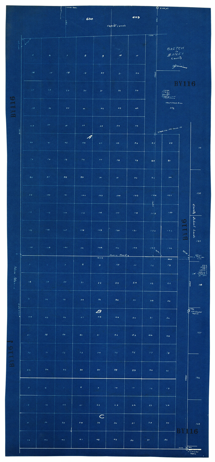

Print $20.00
- Digital $50.00
Sketch in Bailey County
Size 15.6 x 33.5 inches
Map/Doc 92476
[Worksheets related to the Wilson Strickland survey and vicinity]
![91283, [Worksheets related to the Wilson Strickland survey and vicinity], Twichell Survey Records](https://historictexasmaps.com/wmedia_w700/maps/91283-1.tif.jpg)
![91283, [Worksheets related to the Wilson Strickland survey and vicinity], Twichell Survey Records](https://historictexasmaps.com/wmedia_w700/maps/91283-1.tif.jpg)
Print $20.00
- Digital $50.00
[Worksheets related to the Wilson Strickland survey and vicinity]
Size 9.9 x 29.7 inches
Map/Doc 91283
Hockley County, Texas
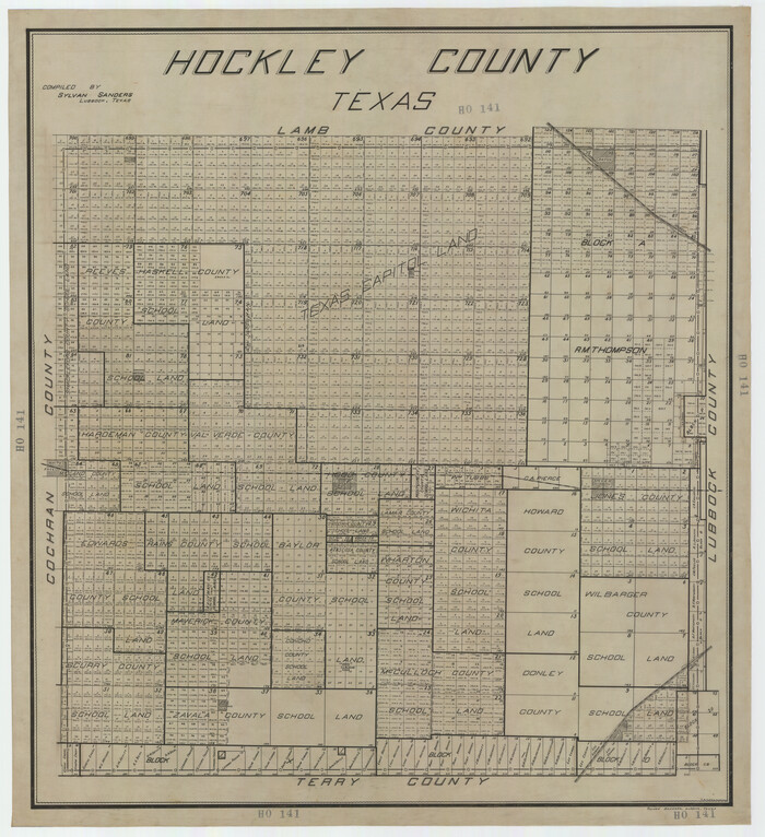

Print $20.00
- Digital $50.00
Hockley County, Texas
Size 34.4 x 37.5 inches
Map/Doc 92247
[Elizabeth Stanley, William H. Anderson, and surrounding surveys]
![91022, [Elizabeth Stanley, William H. Anderson, and surrounding surveys], Twichell Survey Records](https://historictexasmaps.com/wmedia_w700/maps/91022-1.tif.jpg)
![91022, [Elizabeth Stanley, William H. Anderson, and surrounding surveys], Twichell Survey Records](https://historictexasmaps.com/wmedia_w700/maps/91022-1.tif.jpg)
Print $20.00
- Digital $50.00
[Elizabeth Stanley, William H. Anderson, and surrounding surveys]
Size 27.0 x 18.9 inches
Map/Doc 91022
[City of Lamesa and vicinity]
![92593, [City of Lamesa and vicinity], Twichell Survey Records](https://historictexasmaps.com/wmedia_w700/maps/92593-1.tif.jpg)
![92593, [City of Lamesa and vicinity], Twichell Survey Records](https://historictexasmaps.com/wmedia_w700/maps/92593-1.tif.jpg)
Print $20.00
- Digital $50.00
[City of Lamesa and vicinity]
1946
Size 33.9 x 10.5 inches
Map/Doc 92593
[W. H. Freeman, W. A. Eads, W. M. McKnight, Surveys 18, 19, and 28]
![91084, [W. H. Freeman, W. A. Eads, W. M. McKnight, Surveys 18, 19, and 28], Twichell Survey Records](https://historictexasmaps.com/wmedia_w700/maps/91084-1.tif.jpg)
![91084, [W. H. Freeman, W. A. Eads, W. M. McKnight, Surveys 18, 19, and 28], Twichell Survey Records](https://historictexasmaps.com/wmedia_w700/maps/91084-1.tif.jpg)
Print $20.00
- Digital $50.00
[W. H. Freeman, W. A. Eads, W. M. McKnight, Surveys 18, 19, and 28]
Size 27.3 x 18.6 inches
Map/Doc 91084
Lamb-Bailey County Line


Print $40.00
- Digital $50.00
Lamb-Bailey County Line
Size 15.1 x 52.6 inches
Map/Doc 89636
Yates Pool, Pecos County, Texas
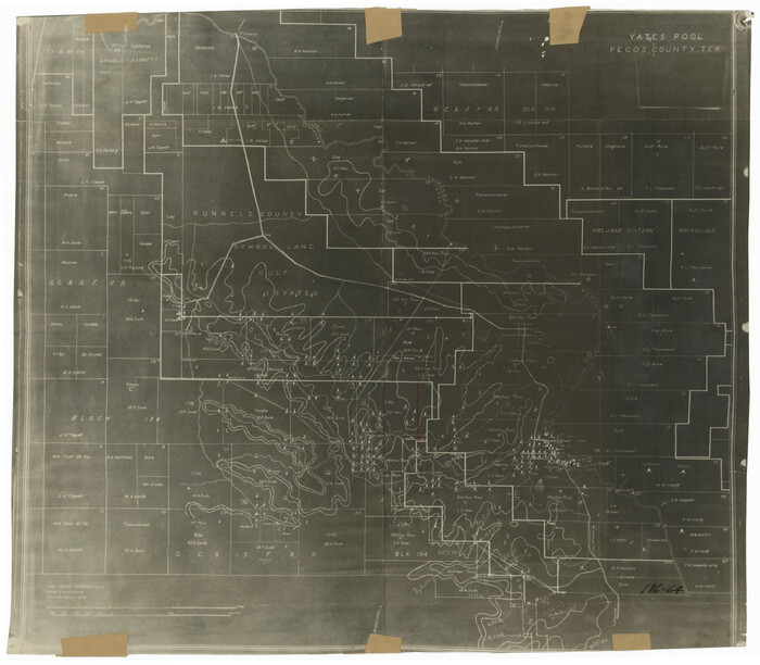

Print $20.00
- Digital $50.00
Yates Pool, Pecos County, Texas
1928
Size 21.3 x 18.3 inches
Map/Doc 91623
[Block RG, Block C, San Augustine School Land]
![92863, [Block RG, Block C, San Augustine School Land], Twichell Survey Records](https://historictexasmaps.com/wmedia_w700/maps/92863-1.tif.jpg)
![92863, [Block RG, Block C, San Augustine School Land], Twichell Survey Records](https://historictexasmaps.com/wmedia_w700/maps/92863-1.tif.jpg)
Print $20.00
- Digital $50.00
[Block RG, Block C, San Augustine School Land]
Size 32.8 x 38.7 inches
Map/Doc 92863
University of Texas System University Lands


Print $20.00
- Digital $50.00
University of Texas System University Lands
1938
Size 17.9 x 23.5 inches
Map/Doc 93249
You may also like
Pecos County Working Sketch Graphic Index - northeast part - sheet B
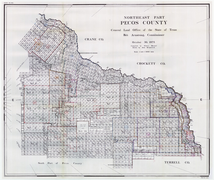

Print $20.00
- Digital $50.00
Pecos County Working Sketch Graphic Index - northeast part - sheet B
1975
Size 36.0 x 42.2 inches
Map/Doc 76667
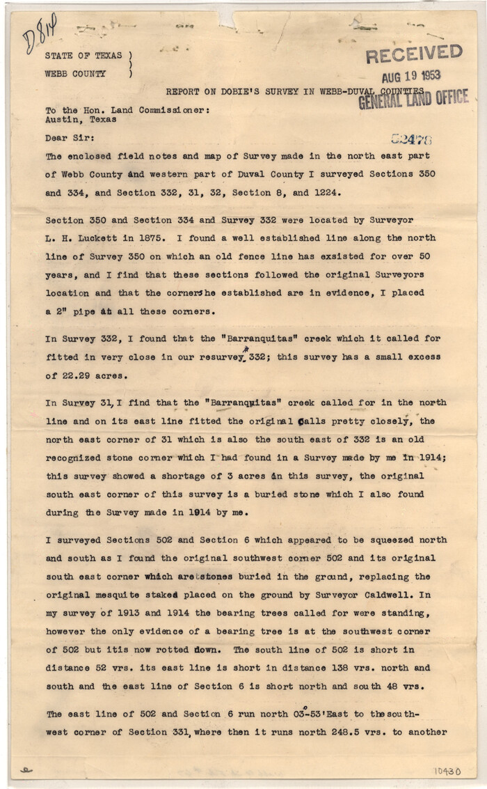
Webb County Sketch File 67

Print $20.00
- Digital $50.00
Webb County Sketch File 67
1953
Size 32.8 x 46.1 inches
Map/Doc 10430
Tyler County Working Sketch 19


Print $20.00
- Digital $50.00
Tyler County Working Sketch 19
1967
Size 47.8 x 42.9 inches
Map/Doc 69489
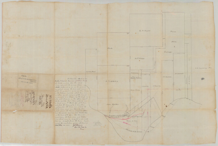
El Paso County Sketch File 20

Print $40.00
- Digital $50.00
El Paso County Sketch File 20
Size 31.4 x 49.4 inches
Map/Doc 10447
Graham's Addition Being a Subdivision of a Portion of Lot No. 1 of Spear League


Print $20.00
- Digital $50.00
Graham's Addition Being a Subdivision of a Portion of Lot No. 1 of Spear League
1914
Size 13.6 x 33.0 inches
Map/Doc 542
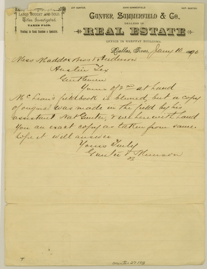
Hutchinson County Sketch File 6

Print $8.00
- Digital $50.00
Hutchinson County Sketch File 6
1890
Size 10.9 x 8.4 inches
Map/Doc 27198
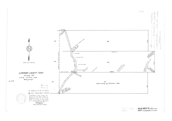
Edwards County Rolled Sketch 28

Print $20.00
- Digital $50.00
Edwards County Rolled Sketch 28
1950
Size 18.9 x 27.0 inches
Map/Doc 5814
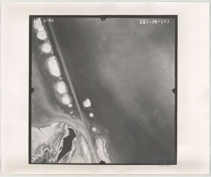
Flight Mission No. CGI-3N, Frame 143, Cameron County

Print $20.00
- Digital $50.00
Flight Mission No. CGI-3N, Frame 143, Cameron County
1954
Size 18.5 x 22.1 inches
Map/Doc 84616
[Letters to and from Maj. W. J. Powell regarding surveys of Texas and Pacific Ry. Lands west of the Pecos. Blks 53-55, Township 1 & 2 map within]
![2249, [Letters to and from Maj. W. J. Powell regarding surveys of Texas and Pacific Ry. Lands west of the Pecos. Blks 53-55, Township 1 & 2 map within], General Map Collection](https://historictexasmaps.com/wmedia_w700/pdf_converted_jpg/qi_pdf_thumbnail_1039.jpg)
![2249, [Letters to and from Maj. W. J. Powell regarding surveys of Texas and Pacific Ry. Lands west of the Pecos. Blks 53-55, Township 1 & 2 map within], General Map Collection](https://historictexasmaps.com/wmedia_w700/pdf_converted_jpg/qi_pdf_thumbnail_1039.jpg)
Print $124.00
- Digital $50.00
[Letters to and from Maj. W. J. Powell regarding surveys of Texas and Pacific Ry. Lands west of the Pecos. Blks 53-55, Township 1 & 2 map within]
1934
Size 10.2 x 15.4 inches
Map/Doc 2249
PSL Field Notes for Blocks G, L, P, and Q in Cochran and Yoakum Counties and Blocks U, V, W, Y, and Z in Cochran County


PSL Field Notes for Blocks G, L, P, and Q in Cochran and Yoakum Counties and Blocks U, V, W, Y, and Z in Cochran County
Map/Doc 81645
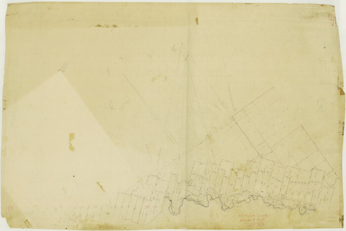
Hudspeth County Working Sketch 13

Print $40.00
- Digital $50.00
Hudspeth County Working Sketch 13
1952
Size 34.3 x 51.4 inches
Map/Doc 66295
![91922, [Eastern Texas RR. Co. Block 1], Twichell Survey Records](https://historictexasmaps.com/wmedia_w1800h1800/maps/91922-1.tif.jpg)
![89627, [Blks. 46 & 47], Twichell Survey Records](https://historictexasmaps.com/wmedia_w700/maps/89627-1.tif.jpg)
