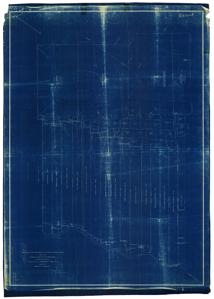
[Sections 55-58, Blk. GG and surrounding surveys]
53-33
- 
                          Map/Doc90319
- 
                            CollectionTwichell Survey Records
- 
                            CountiesCrockett
- 
                            Height x Width41.1 x 29.7 inches104.4 x 75.4 cm
Part of: Twichell Survey Records
            San Augustine County School Land for sale by Lubbock Irrigation Company


                                            Print $20.00                    
                                             -                         Digital $50.00                                    
                San Augustine County School Land for sale by Lubbock Irrigation Company
Size 24.0 x 25.2 inches
                                Map/Doc 92874
            
            Sketch Showing Original Corners Affecting Block I and Adjacent Surveys from Actual Connections by W. D. Twichell


                                            Print $20.00                    
                                             -                         Digital $50.00                                    
                Sketch Showing Original Corners Affecting Block I and Adjacent Surveys from Actual Connections by W. D. Twichell
Size 23.6 x 24.5 inches
                                Map/Doc 90156
            
            [Leagues 11 and 22]
            
                                    ![91111, [Leagues 11 and 22], Twichell Survey Records](https://historictexasmaps.com/wmedia_w700/maps/91111-1.tif.jpg) 


    ![91111, [Leagues 11 and 22], Twichell Survey Records](https://historictexasmaps.com/wmedia_w700/maps/91111-1.tif.jpg) 
                                
            
                                            Print $20.00                    
                                             -                         Digital $50.00                                    
                [Leagues 11 and 22]
1925
Size 14.0 x 13.6 inches
                                Map/Doc 91111
            
            [North line of Hansford, Ochiltree and Lipscomb Counties]
            
                                    ![93190, [North line of Hansford, Ochiltree and Lipscomb Counties], Twichell Survey Records](https://historictexasmaps.com/wmedia_w700/maps/93190-1.tif.jpg) 


    ![93190, [North line of Hansford, Ochiltree and Lipscomb Counties], Twichell Survey Records](https://historictexasmaps.com/wmedia_w700/maps/93190-1.tif.jpg) 
                                
            
                                            Print $40.00                    
                                             -                         Digital $50.00                                    
                [North line of Hansford, Ochiltree and Lipscomb Counties]
Size 89.3 x 16.8 inches
                                Map/Doc 93190
            
            [Capitol Leagues in Southwest Hartley and Northwest Oldham Counties]
            
                                    ![90727, [Capitol Leagues in Southwest Hartley and Northwest Oldham Counties], Twichell Survey Records](https://historictexasmaps.com/wmedia_w700/maps/90727-1.tif.jpg) 


    ![90727, [Capitol Leagues in Southwest Hartley and Northwest Oldham Counties], Twichell Survey Records](https://historictexasmaps.com/wmedia_w700/maps/90727-1.tif.jpg) 
                                
            
                                            Print $20.00                    
                                             -                         Digital $50.00                                    
                [Capitol Leagues in Southwest Hartley and Northwest Oldham Counties]
Size 14.6 x 20.4 inches
                                Map/Doc 90727
            
            [East Portion of Lea County] / [Central part of San Miguel County, New Mexico]
            
                                    ![92035, [East Portion of Lea County] / [Central part of San Miguel County, New Mexico], Twichell Survey Records](https://historictexasmaps.com/wmedia_w700/maps/92035-1.tif.jpg) 


    ![92035, [East Portion of Lea County] / [Central part of San Miguel County, New Mexico], Twichell Survey Records](https://historictexasmaps.com/wmedia_w700/maps/92035-1.tif.jpg) 
                                
            
                                            Print $20.00                    
                                             -                         Digital $50.00                                    
                [East Portion of Lea County] / [Central part of San Miguel County, New Mexico]
Size 24.9 x 28.9 inches
                                Map/Doc 92035
            
            Section F Tech Memorial Park, Inc.


                                            Print $20.00                    
                                             -                         Digital $50.00                                    
                Section F Tech Memorial Park, Inc.
Size 18.4 x 34.8 inches
                                Map/Doc 92358
            
            Subdivisions of Capitol Leagues 93, 94, 95, 96, 104, 105, 106, 107, 116, 117, 118, 127, 128, 129, 130, 131, 132, 140, 141, 142 and parts of 75, 83, 84, 85, 86, 108, 143, 144, 145


                                            Print $20.00                    
                                             -                         Digital $50.00                                    
                Subdivisions of Capitol Leagues 93, 94, 95, 96, 104, 105, 106, 107, 116, 117, 118, 127, 128, 129, 130, 131, 132, 140, 141, 142 and parts of 75, 83, 84, 85, 86, 108, 143, 144, 145
1906
Size 16.7 x 26.7 inches
                                Map/Doc 90650
            
            Revised Sectional Map No. 4 Showing Land Surveys in the Western Portion of the County of El Paso, Texas


                                            Print $20.00                    
                                             -                         Digital $50.00                                    
                Revised Sectional Map No. 4 Showing Land Surveys in the Western Portion of the County of El Paso, Texas
Size 24.7 x 19.7 inches
                                Map/Doc 93226
            
            [Sketch showing county line between Randall and Potter Counties]
            
                                    ![91760, [Sketch showing county line between Randall and Potter Counties], Twichell Survey Records](https://historictexasmaps.com/wmedia_w700/maps/91760-1.tif.jpg) 


    ![91760, [Sketch showing county line between Randall and Potter Counties], Twichell Survey Records](https://historictexasmaps.com/wmedia_w700/maps/91760-1.tif.jpg) 
                                
            
                                            Print $20.00                    
                                             -                         Digital $50.00                                    
                [Sketch showing county line between Randall and Potter Counties]
Size 18.8 x 37.0 inches
                                Map/Doc 91760
            
            [H. & T. C. Block 47 and part of G. & M. Block 3]
            
                                    ![91817, [H. & T. C. Block 47 and part of G. & M. Block 3], Twichell Survey Records](https://historictexasmaps.com/wmedia_w700/maps/91817-1.tif.jpg) 


    ![91817, [H. & T. C. Block 47 and part of G. & M. Block 3], Twichell Survey Records](https://historictexasmaps.com/wmedia_w700/maps/91817-1.tif.jpg) 
                                
            
                                            Print $20.00                    
                                             -                         Digital $50.00                                    
                [H. & T. C. Block 47 and part of G. & M. Block 3]
Size 29.4 x 27.9 inches
                                Map/Doc 91817
            You may also like
            The Rand-McNally New Commercial Atlas Map of Texas


                                            Print $20.00                    
                                    
                The Rand-McNally New Commercial Atlas Map of Texas
1914
Size 42.7 x 28.6 inches
                                Map/Doc 78226
            
            Val Verde County


                                            Print $20.00                    
                                             -                         Digital $50.00                                    
                Val Verde County
1944
Size 40.8 x 37.7 inches
                                Map/Doc 78448
            
            Jefferson County Aerial Photograph Index Sheet 6


                                            Print $20.00                    
                                             -                         Digital $50.00                                    
                Jefferson County Aerial Photograph Index Sheet 6
1953
Size 23.3 x 17.0 inches
                                Map/Doc 83710
            
            Pecos County Working Sketch 33


                                            Print $20.00                    
                                             -                         Digital $50.00                                    
                Pecos County Working Sketch 33
1937
Size 26.7 x 35.6 inches
                                Map/Doc 71505
            
            Washington County


                                            Print $20.00                    
                                             -                         Digital $50.00                                    
                Washington County
1871
Size 11.9 x 27.7 inches
                                Map/Doc 4123
            
            General Highway Map, Montague County, Texas


                                            Print $20.00                    
                                    
                General Highway Map, Montague County, Texas
1961
Size 24.8 x 18.2 inches
                                Map/Doc 79601
            
            Old Miscellaneous File 27


                                            Print $28.00                    
                                             -                         Digital $50.00                                    
                Old Miscellaneous File 27
1879
Size 14.4 x 8.8 inches
                                Map/Doc 75636
            
            Flight Mission No. BRE-3P, Frame 79, Nueces County


                                            Print $20.00                    
                                             -                         Digital $50.00                                    
                Flight Mission No. BRE-3P, Frame 79, Nueces County
1956
Size 18.6 x 22.5 inches
                                Map/Doc 86820
            
            Sutton County Working Sketch 62


                                            Print $20.00                    
                                             -                         Digital $50.00                                    
                Sutton County Working Sketch 62
1959
Size 31.3 x 38.1 inches
                                Map/Doc 62405
            
            Cochran County Boundary File 2


                                            Print $59.00                    
                                             -                         Digital $50.00                                    
                Cochran County Boundary File 2
Size 14.8 x 9.3 inches
                                Map/Doc 51466
            
            General Highway Map, Stonewall County, Texas


                                            Print $20.00                    
                                    
                General Highway Map, Stonewall County, Texas
1961
Size 18.3 x 25.1 inches
                                Map/Doc 79662
            
            Van Zandt County


                                            Print $20.00                    
                                             -                         Digital $50.00                                    
                Van Zandt County
1921
Size 45.5 x 41.0 inches
                                Map/Doc 16914
            ![90319, [Sections 55-58, Blk. GG and surrounding surveys], Twichell Survey Records](https://historictexasmaps.com/wmedia_w1800h1800/maps/90319-1.tif.jpg)