Garza County Rolled Sketch 16
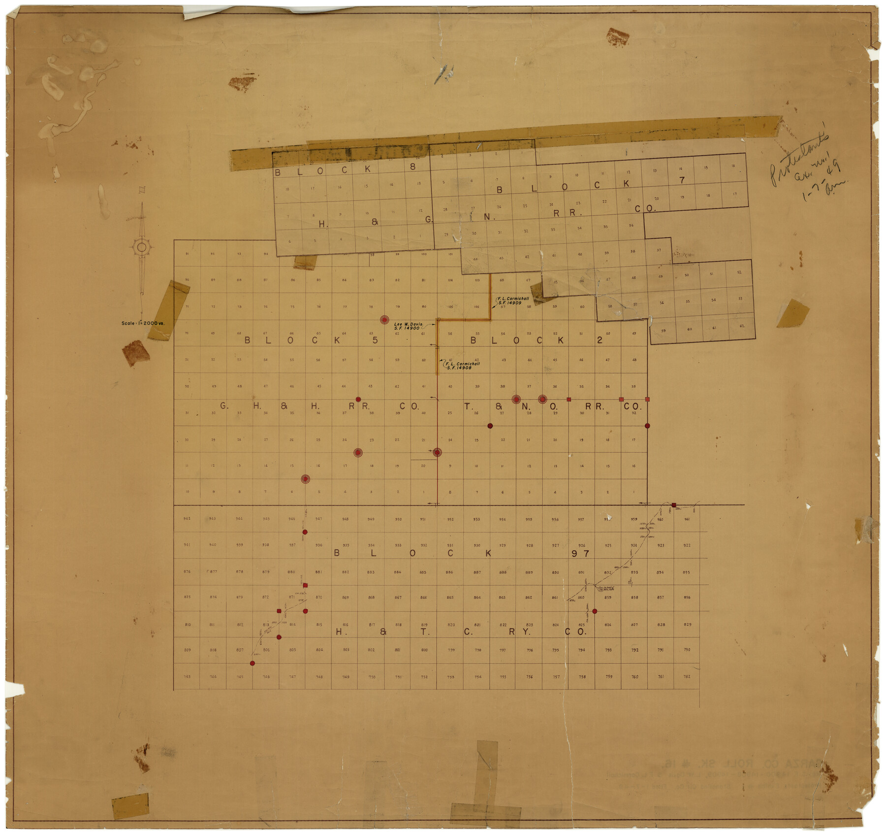
[Plat Showing Blocks 7 and 8, H. & G. N. R.R. Co., Block 5, G. H. & H. R.R. Co.., Block 2, T. & N. O. R.R. Co., and Block 97, H. & T. C. Ry. Co.]
-
Map/Doc
9048
-
Collection
General Map Collection
-
Object Dates
1/7/1949 (File Date)
-
Counties
Garza
-
Subjects
Surveying Rolled Sketch
-
Height x Width
30.5 x 32.3 inches
77.5 x 82.0 cm
-
Medium
paper, manuscript
Part of: General Map Collection
[Map of Sabine County]
![4009, [Map of Sabine County], General Map Collection](https://historictexasmaps.com/wmedia_w700/maps/4009.tif.jpg)
Print $20.00
- Digital $50.00
[Map of Sabine County]
1839
Size 23.9 x 18.9 inches
Map/Doc 4009
Live Oak County Sketch File 14

Print $4.00
- Digital $50.00
Live Oak County Sketch File 14
1882
Size 13.3 x 8.8 inches
Map/Doc 30278
Plan de la Villa de Austin

Print $20.00
- Digital $50.00
Plan de la Villa de Austin
1828
Size 18.5 x 12.5 inches
Map/Doc 94116
Flight Mission No. BRE-1P, Frame 99, Nueces County

Print $20.00
- Digital $50.00
Flight Mission No. BRE-1P, Frame 99, Nueces County
1956
Size 18.4 x 22.2 inches
Map/Doc 86670

Bosque County Working Sketch 11

Print $20.00
- Digital $50.00
Bosque County Working Sketch 11
1952
Size 10.8 x 30.4 inches
Map/Doc 67444
Map of Nueces County

Print $20.00
- Digital $50.00
Map of Nueces County
1875
Size 24.6 x 37.4 inches
Map/Doc 3919
Flight Mission No. BRA-7M, Frame 21, Jefferson County

Print $20.00
- Digital $50.00
Flight Mission No. BRA-7M, Frame 21, Jefferson County
1953
Size 18.4 x 22.2 inches
Map/Doc 85472

Floyd County Rolled Sketch 10

Print $20.00
- Digital $50.00
Floyd County Rolled Sketch 10
1953
Size 37.8 x 25.0 inches
Map/Doc 5883
Travis County Working Sketch 26

Print $20.00
- Digital $50.00
Travis County Working Sketch 26
1951
Size 34.8 x 25.1 inches
Map/Doc 69410
Zavala County Working Sketch 10

Print $20.00
- Digital $50.00
Zavala County Working Sketch 10
1954
Size 30.4 x 38.8 inches
Map/Doc 62085
You may also like
'O Bar O' Ranch

Print $20.00
- Digital $50.00
'O Bar O' Ranch
1946
Size 21.1 x 36.2 inches
Map/Doc 92162
Polk County Sketch File 39

Print $24.00
- Digital $50.00
Polk County Sketch File 39
Size 8.3 x 13.3 inches
Map/Doc 34278
Blanco County Rolled Sketch 11

Print $6.00
- Digital $50.00
Blanco County Rolled Sketch 11
Size 33.2 x 27.8 inches
Map/Doc 5147
Henderson County Boundary File 3a

Print $30.00
- Digital $50.00
Henderson County Boundary File 3a
Size 14.4 x 8.9 inches
Map/Doc 54685
General Highway Map, Jones County, Texas

Print $20.00
General Highway Map, Jones County, Texas
1961
Size 18.2 x 24.5 inches
Map/Doc 79546
Irion County Rolled Sketch 8

Print $20.00
- Digital $50.00
Irion County Rolled Sketch 8
Size 42.9 x 34.1 inches
Map/Doc 9251
Comal County Sketch File 15

Print $6.00
- Digital $50.00
Comal County Sketch File 15
Size 10.3 x 8.6 inches
Map/Doc 19031
Ownership Map Lamb County

Print $20.00
- Digital $50.00
Ownership Map Lamb County
1934
Size 37.6 x 45.0 inches
Map/Doc 89847
Zavala County Working Sketch 29

Print $20.00
- Digital $50.00
Zavala County Working Sketch 29
1994
Size 33.1 x 42.9 inches
Map/Doc 62104
Map [showing surveys 820-829] Along Red River
![89813, Map [showing surveys 820-829] Along Red River, Twichell Survey Records](https://historictexasmaps.com/wmedia_w700/maps/89813-1.tif.jpg)
Print $20.00
- Digital $50.00
Map [showing surveys 820-829] Along Red River
1920
Size 40.4 x 45.2 inches
Map/Doc 89813

Polk County Working Sketch 9

Print $20.00
- Digital $50.00
Polk County Working Sketch 9
1934
Size 22.7 x 30.8 inches
Map/Doc 71624