[Part of Block XR along New Mexico State Line]
103-21
-
Map/Doc
90665
-
Collection
Twichell Survey Records
-
Counties
Hartley
-
Height x Width
22.2 x 5.5 inches
56.4 x 14.0 cm
Part of: Twichell Survey Records
Plat of South Side Addition on Section 37 Block 17, Wheeler County, Texas


Print $20.00
- Digital $50.00
Plat of South Side Addition on Section 37 Block 17, Wheeler County, Texas
Size 12.0 x 16.9 inches
Map/Doc 92103
[Subdivision of Crockett County School Land Lgs. 214-217]
![90106, [Subdivision of Crockett County School Land Lgs. 214-217], Twichell Survey Records](https://historictexasmaps.com/wmedia_w700/maps/90106-1.tif.jpg)
![90106, [Subdivision of Crockett County School Land Lgs. 214-217], Twichell Survey Records](https://historictexasmaps.com/wmedia_w700/maps/90106-1.tif.jpg)
Print $2.00
- Digital $50.00
[Subdivision of Crockett County School Land Lgs. 214-217]
Size 12.4 x 8.5 inches
Map/Doc 90106
Working Sketch in Bailey County


Print $20.00
- Digital $50.00
Working Sketch in Bailey County
1920
Size 17.1 x 19.1 inches
Map/Doc 90185
'O Bar O' Ranch


Print $20.00
- Digital $50.00
'O Bar O' Ranch
1946
Size 21.1 x 36.2 inches
Map/Doc 92162
Plains, Yoakum County, Texas


Print $20.00
- Digital $50.00
Plains, Yoakum County, Texas
Size 41.0 x 43.6 inches
Map/Doc 89907
Working Sketch Bastrop County
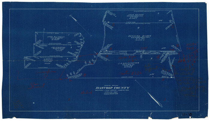

Print $20.00
- Digital $50.00
Working Sketch Bastrop County
1923
Size 22.7 x 13.2 inches
Map/Doc 90149
Sketch Showing Division Fence Shelton-Matador
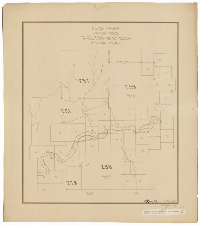

Print $20.00
- Digital $50.00
Sketch Showing Division Fence Shelton-Matador
Size 21.3 x 24.1 inches
Map/Doc 91446
Carter Park Addition
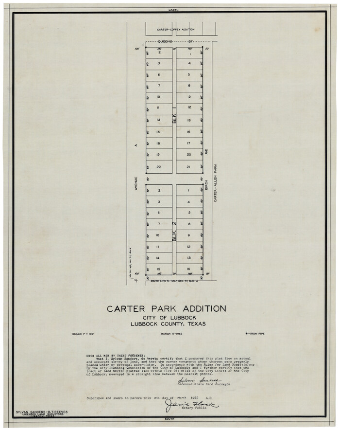

Print $20.00
- Digital $50.00
Carter Park Addition
1952
Size 18.3 x 23.2 inches
Map/Doc 92769
[Sketch showing Blocks B5 and B6 and Capitol Land Reservation]
![89973, [Sketch showing Blocks B5 and B6 and Capitol Land Reservation], Twichell Survey Records](https://historictexasmaps.com/wmedia_w700/maps/89973-1.tif.jpg)
![89973, [Sketch showing Blocks B5 and B6 and Capitol Land Reservation], Twichell Survey Records](https://historictexasmaps.com/wmedia_w700/maps/89973-1.tif.jpg)
Print $20.00
- Digital $50.00
[Sketch showing Blocks B5 and B6 and Capitol Land Reservation]
Size 46.3 x 41.9 inches
Map/Doc 89973
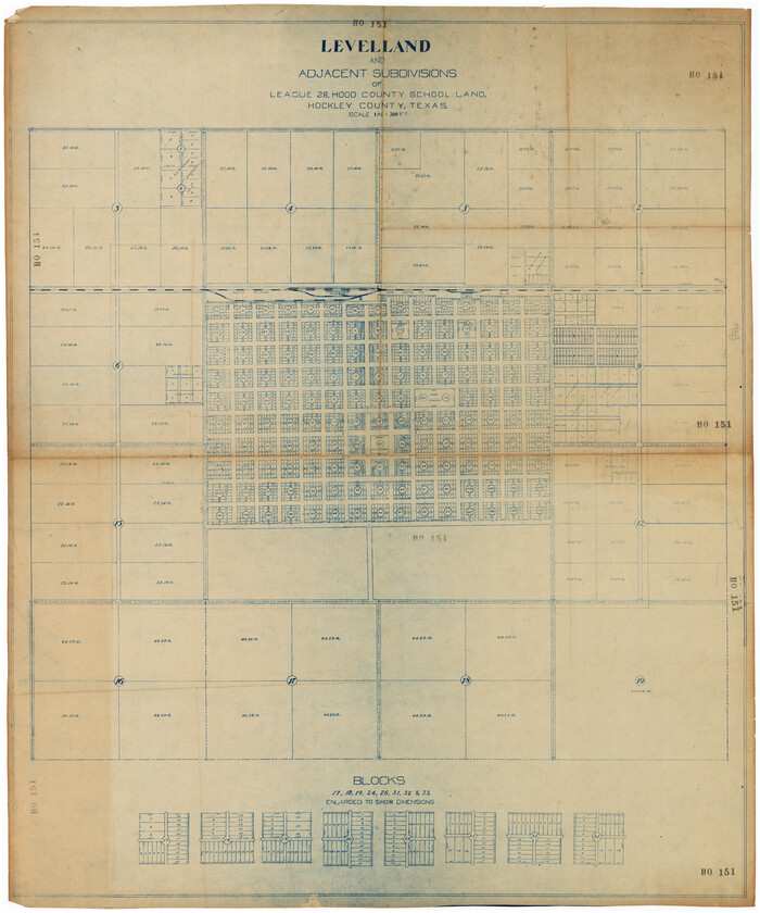
Leveland and Adjacent Subdivisions of League 28, Hood County School Land Hockley County, Texas

Print $40.00
- Digital $50.00
Leveland and Adjacent Subdivisions of League 28, Hood County School Land Hockley County, Texas
Size 42.4 x 50.4 inches
Map/Doc 89848
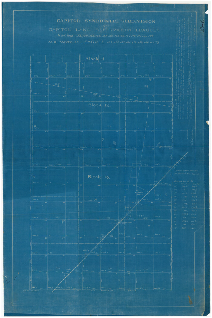
Capitol Syndicate Subdivision of Capitol Land Reservation Leagues Number 153, 154, 155, 156, 157, 158, 167, 168, 169, 170, 171, and 172 and Parts of Leagues 143, 144, 145, 146, 152, 159, 166, and 173

Print $20.00
- Digital $50.00
Capitol Syndicate Subdivision of Capitol Land Reservation Leagues Number 153, 154, 155, 156, 157, 158, 167, 168, 169, 170, 171, and 172 and Parts of Leagues 143, 144, 145, 146, 152, 159, 166, and 173
1908
Size 22.8 x 34.6 inches
Map/Doc 90735
You may also like
Map of Atascosa County


Print $20.00
- Digital $50.00
Map of Atascosa County
1879
Size 24.5 x 24.8 inches
Map/Doc 3250
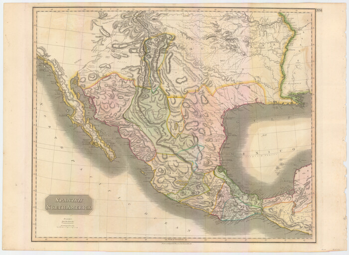
Spanish North America

Print $20.00
- Digital $50.00
Spanish North America
1814
Size 21.9 x 29.8 inches
Map/Doc 89224
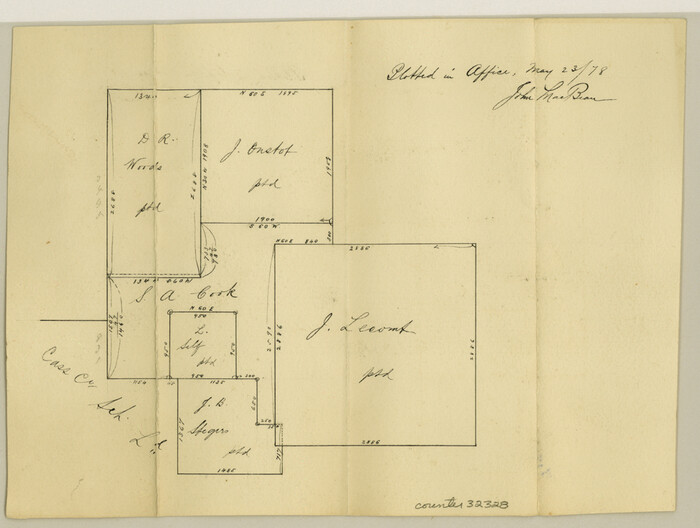
Navarro County Sketch File 15

Print $4.00
- Digital $50.00
Navarro County Sketch File 15
1878
Size 7.6 x 10.0 inches
Map/Doc 32328
Dallas County Working Sketch 19


Print $20.00
- Digital $50.00
Dallas County Working Sketch 19
1997
Size 23.1 x 30.3 inches
Map/Doc 68585
Childress County Rolled Sketch 1
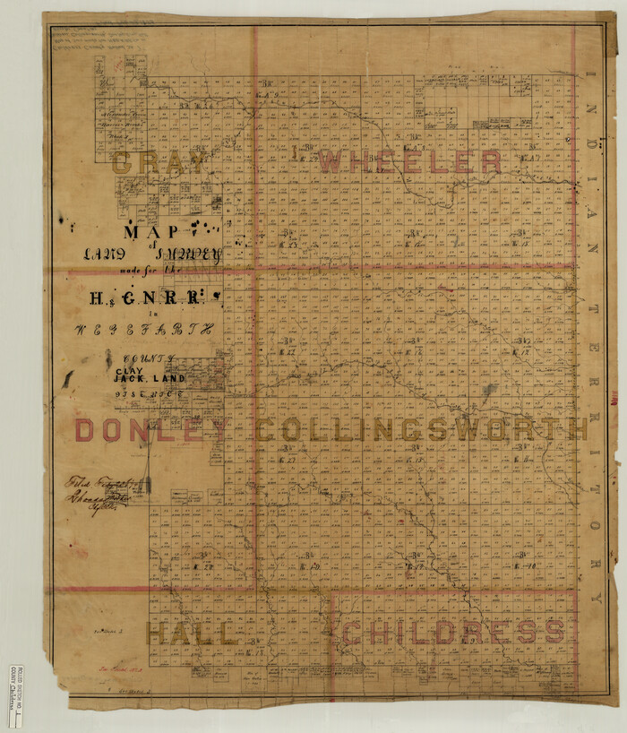

Print $20.00
- Digital $50.00
Childress County Rolled Sketch 1
Size 31.2 x 26.5 inches
Map/Doc 5437
Uvalde County Sketch File 10


Print $6.00
- Digital $50.00
Uvalde County Sketch File 10
1886
Size 9.2 x 6.1 inches
Map/Doc 38969
Fannin County Rolled Sketch 18B


Print $20.00
- Digital $50.00
Fannin County Rolled Sketch 18B
Size 12.7 x 16.1 inches
Map/Doc 5869
Kenedy County Aerial Photograph Index Sheet 9
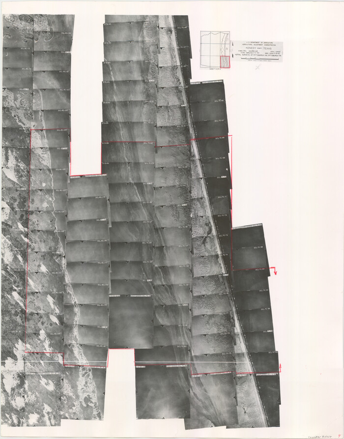

Print $20.00
- Digital $50.00
Kenedy County Aerial Photograph Index Sheet 9
1943
Size 23.6 x 18.5 inches
Map/Doc 83717
Presidio County Rolled Sketch MS


Print $20.00
- Digital $50.00
Presidio County Rolled Sketch MS
Size 35.9 x 19.0 inches
Map/Doc 7412
Map No. 1. Eastern States designed to accompany Smith's Geography for School


Print $20.00
- Digital $50.00
Map No. 1. Eastern States designed to accompany Smith's Geography for School
1850
Size 9.8 x 12.1 inches
Map/Doc 93885
Southern Pacific R.R. and connections


Print $20.00
- Digital $50.00
Southern Pacific R.R. and connections
1883
Size 27.9 x 32.5 inches
Map/Doc 94270
![90665, [Part of Block XR along New Mexico State Line], Twichell Survey Records](https://historictexasmaps.com/wmedia_w1800h1800/maps/90665-1.tif.jpg)
![90327, [Block B9], Twichell Survey Records](https://historictexasmaps.com/wmedia_w700/maps/90327-1.tif.jpg)
